Elevation of Big Boggy National Wildlife Refuge, Texas, USA
Location: United States > Texas > Matagorda County > Wadsworth >
Longitude: -95.819561
Latitude: 28.7521315
Elevation: 0m / 0feet
Barometric Pressure: 101KPa
Elevation Map:
Satellite Map:
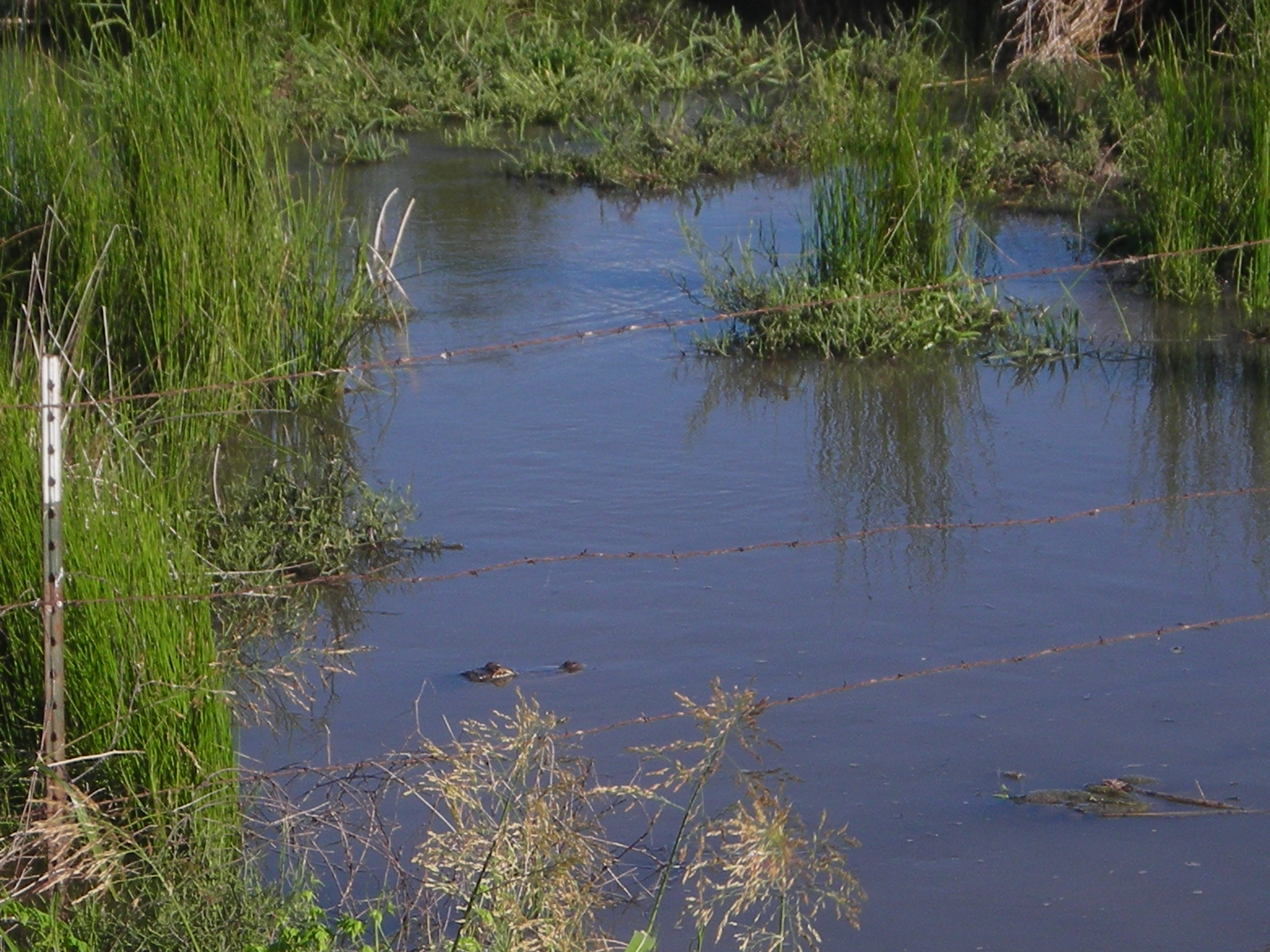
Related Photos:

What a view when crossing the bridge

Great view on a super nice day!

the field

big sky country

the storm is coming

the scenery on my drive home
FDM20110623-7-4-Unnamed_FM521

Bay City TX 7-25-13 1350

Beach Launch to Rig

Matagorda, Texas bridge
Topographic Map of Big Boggy National Wildlife Refuge, Texas, USA
Find elevation by address:

Places near Big Boggy National Wildlife Refuge, Texas, USA:
Chinquapin Road
257 Matagorda St
427 Caney St
760 Caney St
117 Caney St
381 Center St
381 Center St
Matagorda
561 Mimosa Ln
23 Beach Rd
23 Beach Rd
105 Oak Cir
133 Oak Cir
98 Seagull Rd
2006 County Rd 201
Clements Road
1954 County Rd 201
544 Marlin St
Seagull Road
Seagull Road
Recent Searches:
- Elevation of Corso Fratelli Cairoli, 35, Macerata MC, Italy
- Elevation of Tallevast Rd, Sarasota, FL, USA
- Elevation of 4th St E, Sonoma, CA, USA
- Elevation of Black Hollow Rd, Pennsdale, PA, USA
- Elevation of Oakland Ave, Williamsport, PA, USA
- Elevation of Pedrógão Grande, Portugal
- Elevation of Klee Dr, Martinsburg, WV, USA
- Elevation of Via Roma, Pieranica CR, Italy
- Elevation of Tavkvetili Mountain, Georgia
- Elevation of Hartfords Bluff Cir, Mt Pleasant, SC, USA