Elevation of Bethel, NC, USA
Location: United States > North Carolina > Pitt County > Bethel >
Longitude: -77.378855
Latitude: 35.8071028
Elevation: 21m / 69feet
Barometric Pressure: 101KPa
Elevation Map:
Satellite Map:
Related Photos:
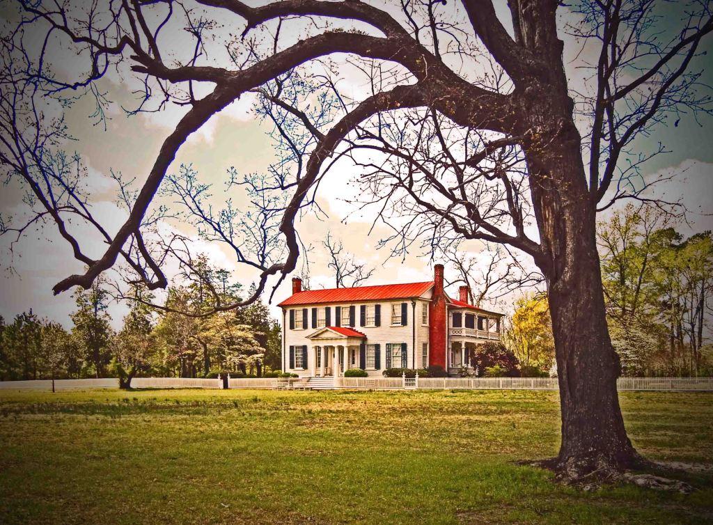
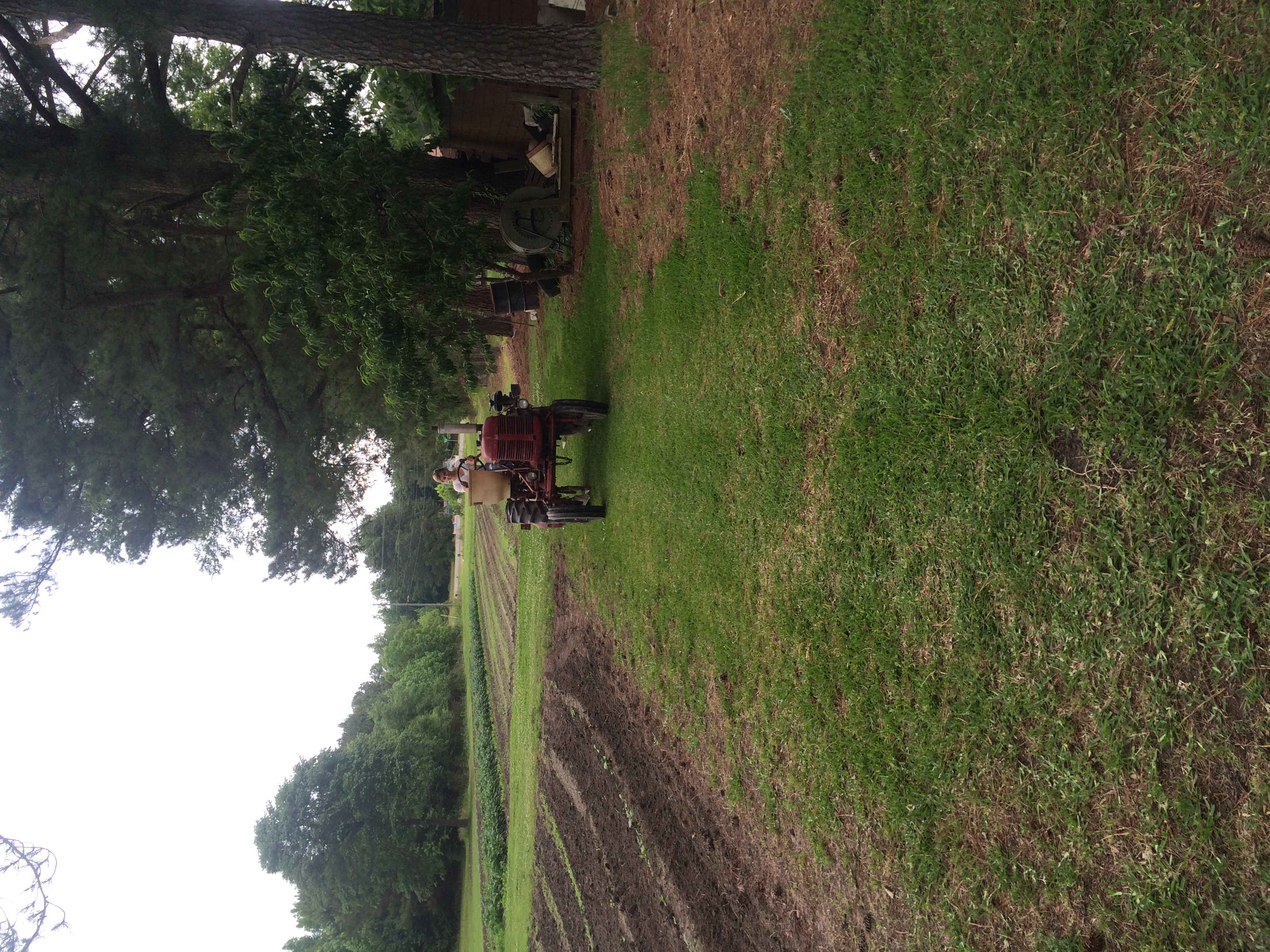
Bracebridge Hall Plantation Complex, ca. 1815 and 1838: Old Sparta Vicinity, Edgecombe County, NC

IMG_3244

IMG_3245

IMG_3240

IMG_3246

IMG_3250

IMG_3247

IMG_3243

IMG_3241

IMG_3242

IMG_3239
Ayden
Topographic Map of Bethel, NC, USA
Find elevation by address:

Places near Bethel, NC, USA:
3855 West Ln
Bethel
6487 Nc-11 S
6109 Nc-30
Tar River
2, Lower Conetoe
2, Lower Conetoe
2, Lower Conetoe
2, Lower Conetoe
4782 Nc-11
Belvoir
1616 Holland Rd
Belvoir
NC-33, Tarboro, NC, USA
Falkland
1954 Nc-42
1954 Nc-42
4739 Stallings Rd
22 Carr Farm Rd, Macclesfield, NC, USA
Pinetops
Recent Searches:
- Elevation of Corso Fratelli Cairoli, 35, Macerata MC, Italy
- Elevation of Tallevast Rd, Sarasota, FL, USA
- Elevation of 4th St E, Sonoma, CA, USA
- Elevation of Black Hollow Rd, Pennsdale, PA, USA
- Elevation of Oakland Ave, Williamsport, PA, USA
- Elevation of Pedrógão Grande, Portugal
- Elevation of Klee Dr, Martinsburg, WV, USA
- Elevation of Via Roma, Pieranica CR, Italy
- Elevation of Tavkvetili Mountain, Georgia
- Elevation of Hartfords Bluff Cir, Mt Pleasant, SC, USA