Elevation of Bethel, AK, USA
Location: United States > Alaska > Bethel >
Longitude: -161.7558333
Latitude: 60.7922222
Elevation: 1m / 3feet
Barometric Pressure: 0KPa
Related Photos:
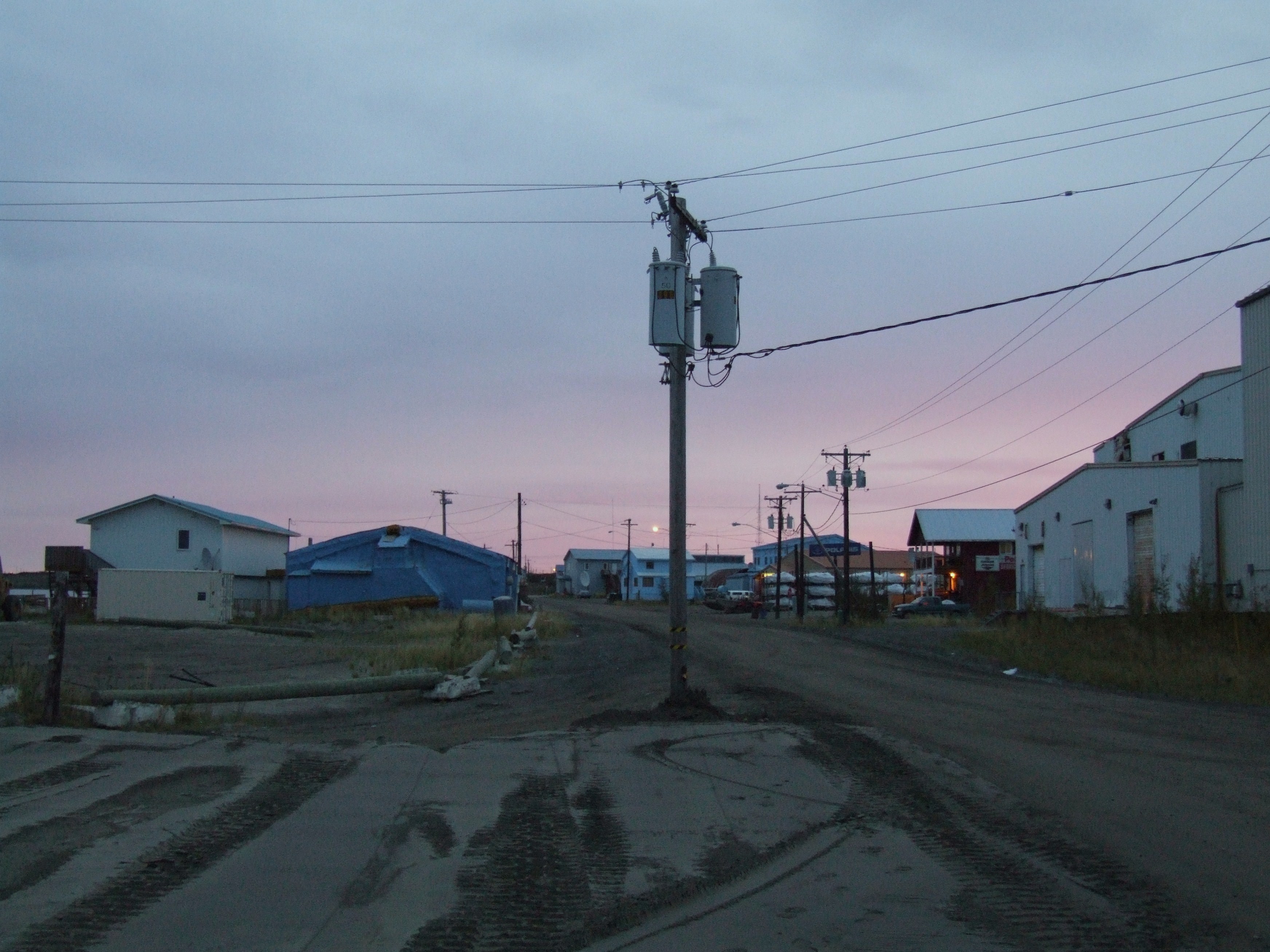
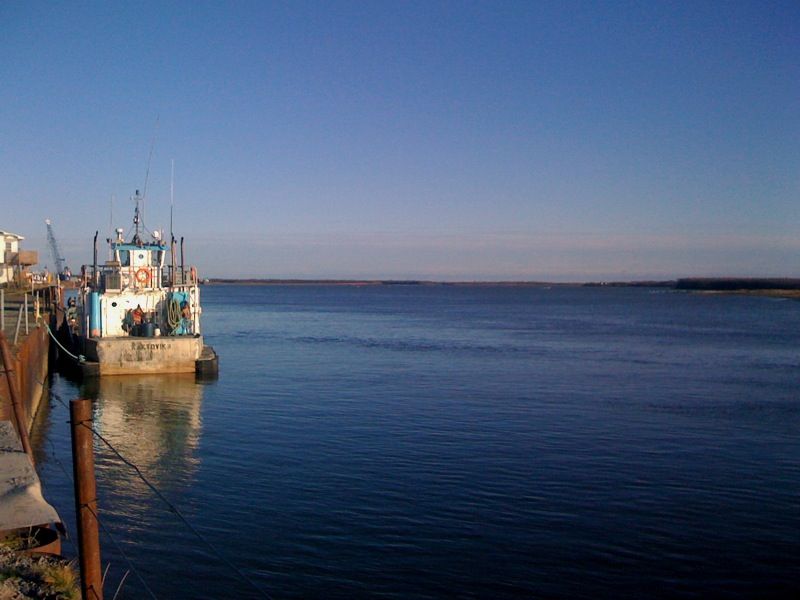
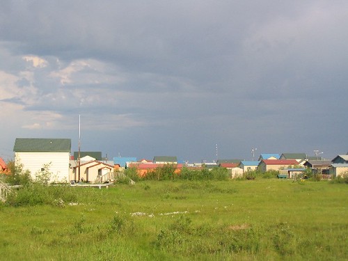
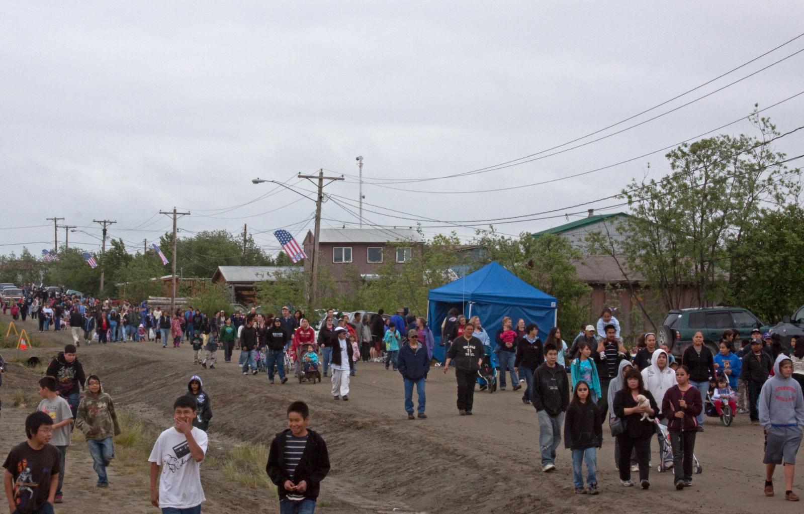
Front Street
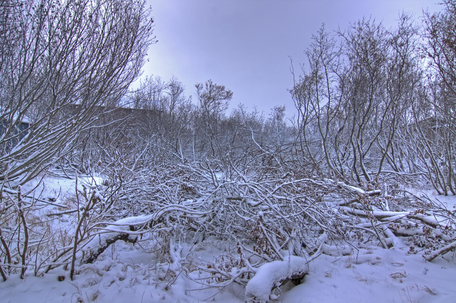
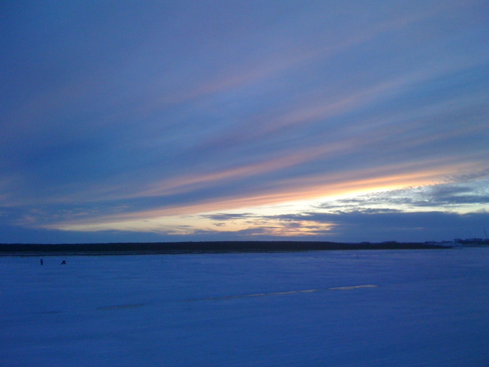
Winter is a' coming
What a difference a year makes
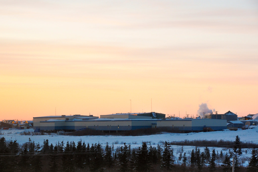
Sunset over Bethel Regional High School
60/365 - Gone fishin'
62/365 - Lighted snow
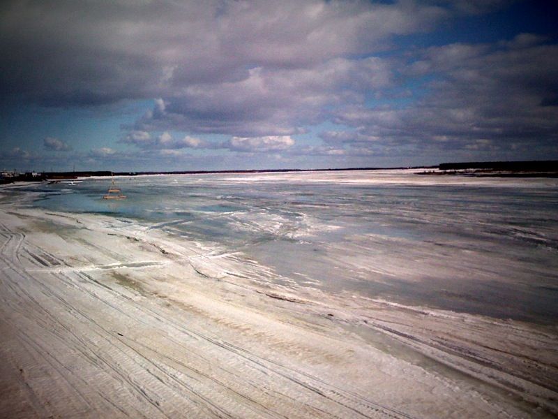
199/365 - Melting river
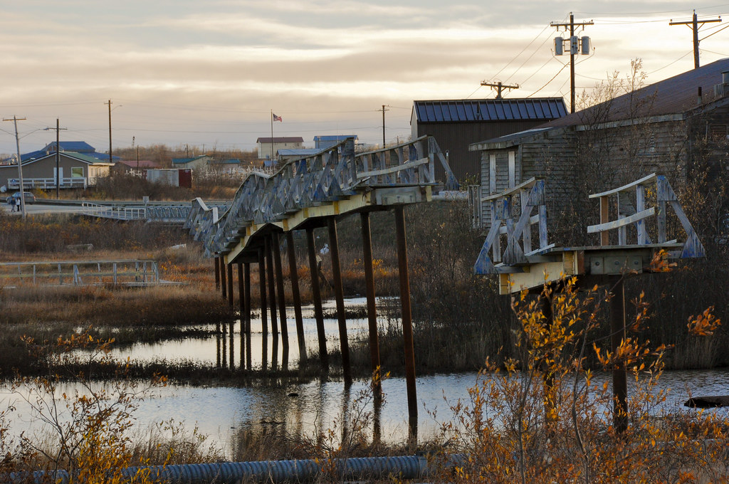
Abandoned Footbridge (N.W.)

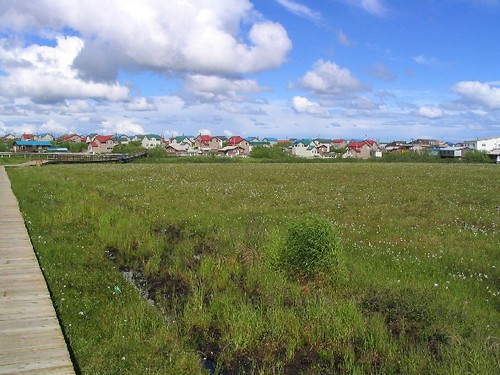
Cotton Grass
38/365 - Midday Sun
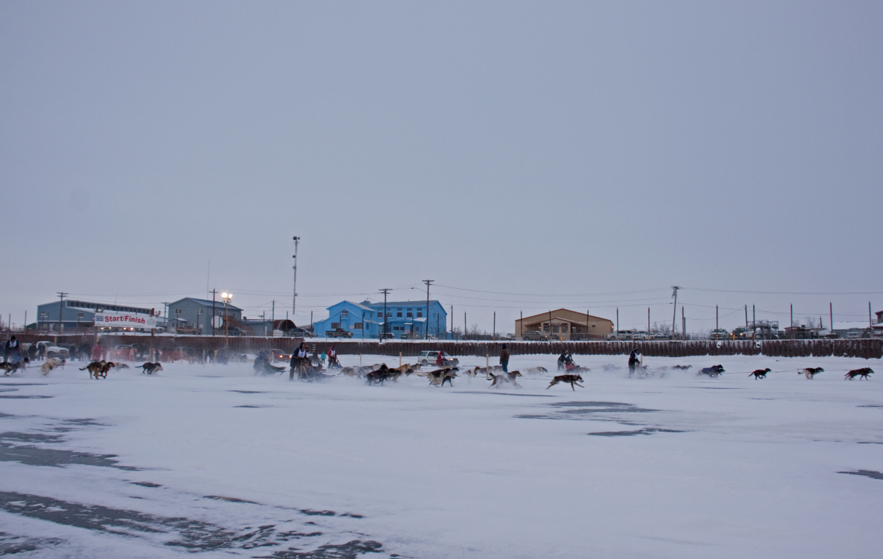
Akiak Dash start
22/365 - Could still be mid-summer
Fine day for boating
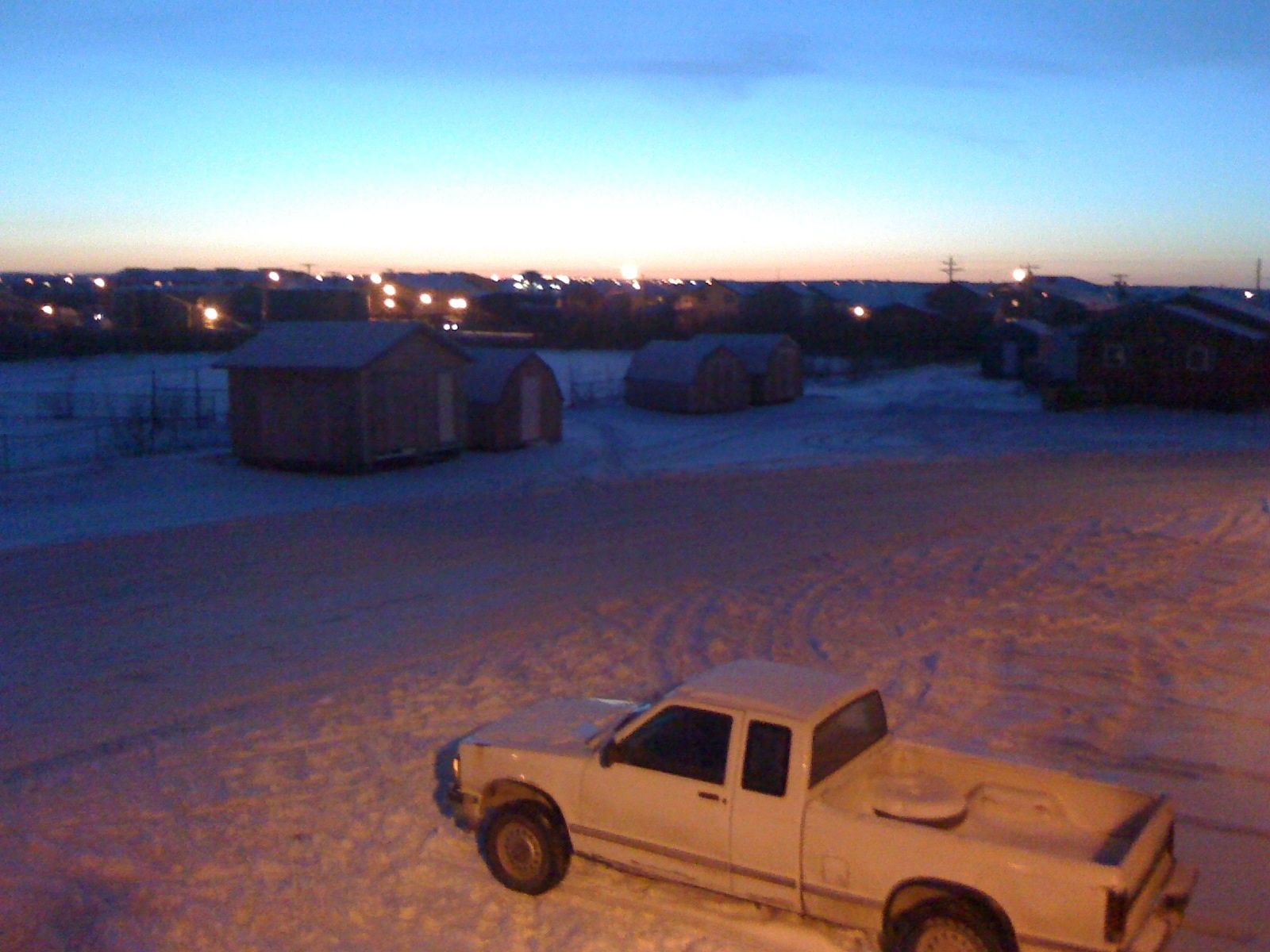
houseing 002
housing 007
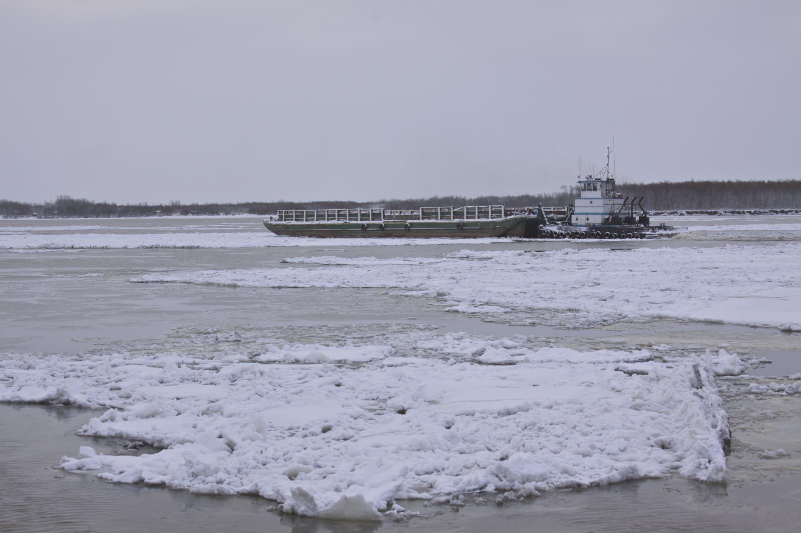
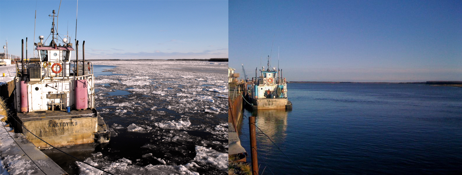
Racing the ice

57/365 - Cold lunchtime
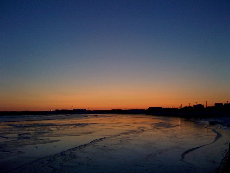
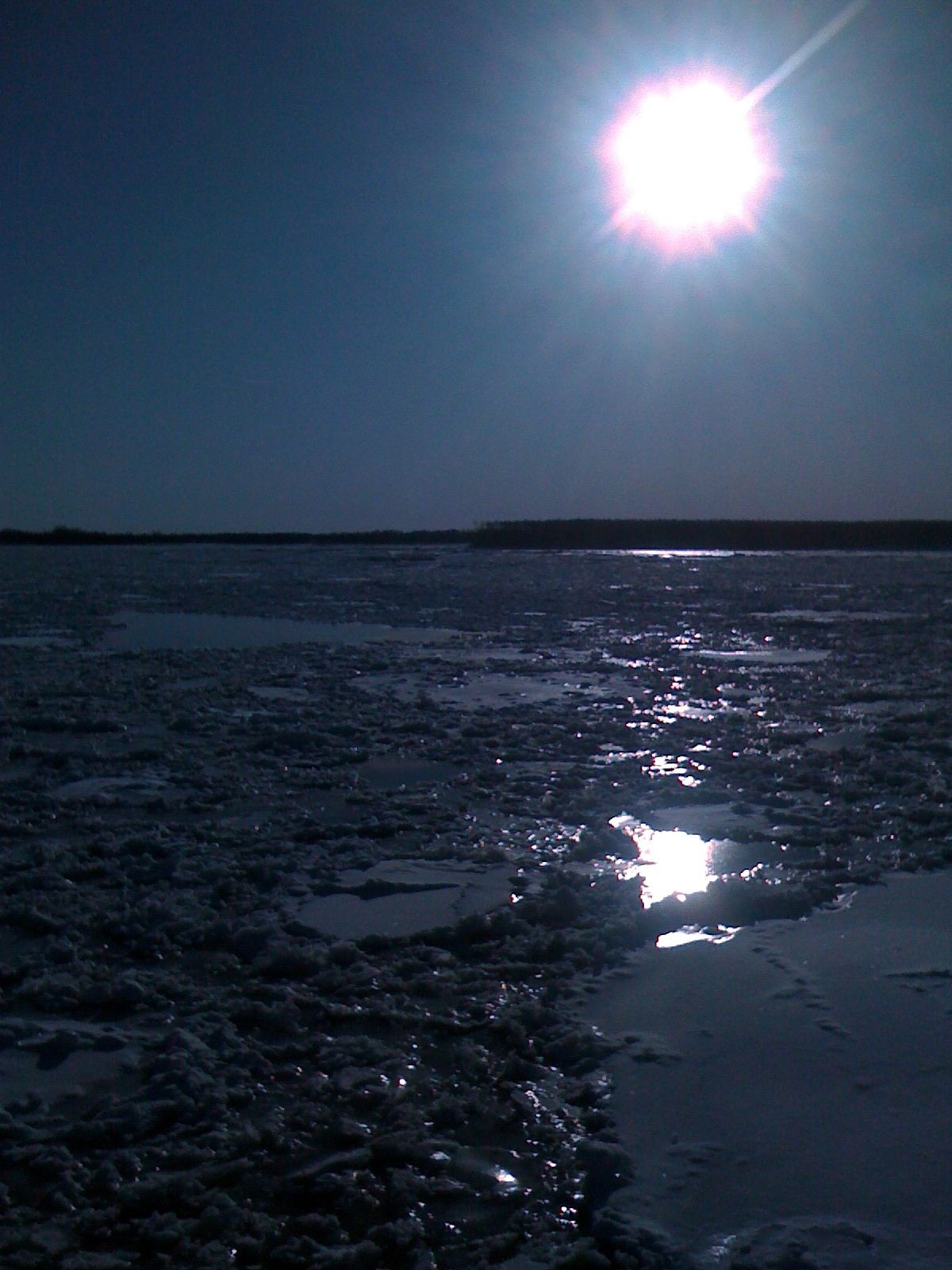
37/365 - Freezing River
Carnival time
Topographic Map of Bethel, AK, USA
Find elevation by address:

Places near Bethel, AK, USA:
Recent Searches:
- Elevation map of Greenland, Greenland
- Elevation of Sullivan Hill, New York, New York, 10002, USA
- Elevation of Morehead Road, Withrow Downs, Charlotte, Mecklenburg County, North Carolina, 28262, USA
- Elevation of 2800, Morehead Road, Withrow Downs, Charlotte, Mecklenburg County, North Carolina, 28262, USA
- Elevation of Yangbi Yi Autonomous County, Yunnan, China
- Elevation of Pingpo, Yangbi Yi Autonomous County, Yunnan, China
- Elevation of Mount Malong, Pingpo, Yangbi Yi Autonomous County, Yunnan, China
- Elevation map of Yongping County, Yunnan, China
- Elevation of North 8th Street, Palatka, Putnam County, Florida, 32177, USA
- Elevation of 107, Big Apple Road, East Palatka, Putnam County, Florida, 32131, USA
- Elevation of Jiezi, Chongzhou City, Sichuan, China
- Elevation of Chongzhou City, Sichuan, China
- Elevation of Huaiyuan, Chongzhou City, Sichuan, China
- Elevation of Qingxia, Chengdu, Sichuan, China
- Elevation of Corso Fratelli Cairoli, 35, Macerata MC, Italy
- Elevation of Tallevast Rd, Sarasota, FL, USA
- Elevation of 4th St E, Sonoma, CA, USA
- Elevation of Black Hollow Rd, Pennsdale, PA, USA
- Elevation of Oakland Ave, Williamsport, PA, USA
- Elevation of Pedrógão Grande, Portugal