Elevation of Bestwig, Germany
Location: Germany > North Rhine-westphalia > Arnsberg > Hochsauerlandkreis >
Longitude: 8.4013281
Latitude: 51.3619591
Elevation: 432m / 1417feet
Barometric Pressure: 96KPa
Elevation Map:
Satellite Map:
Related Photos:
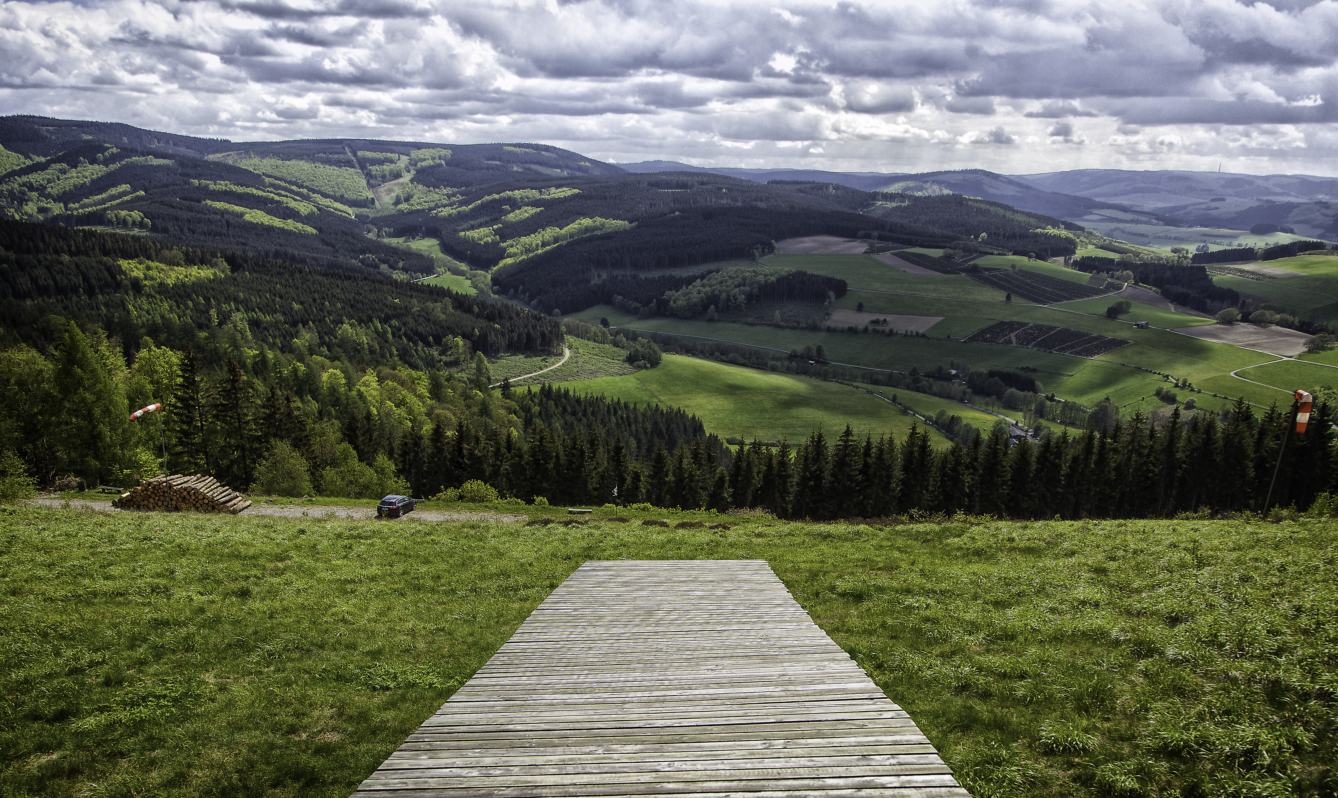
Ready for take off
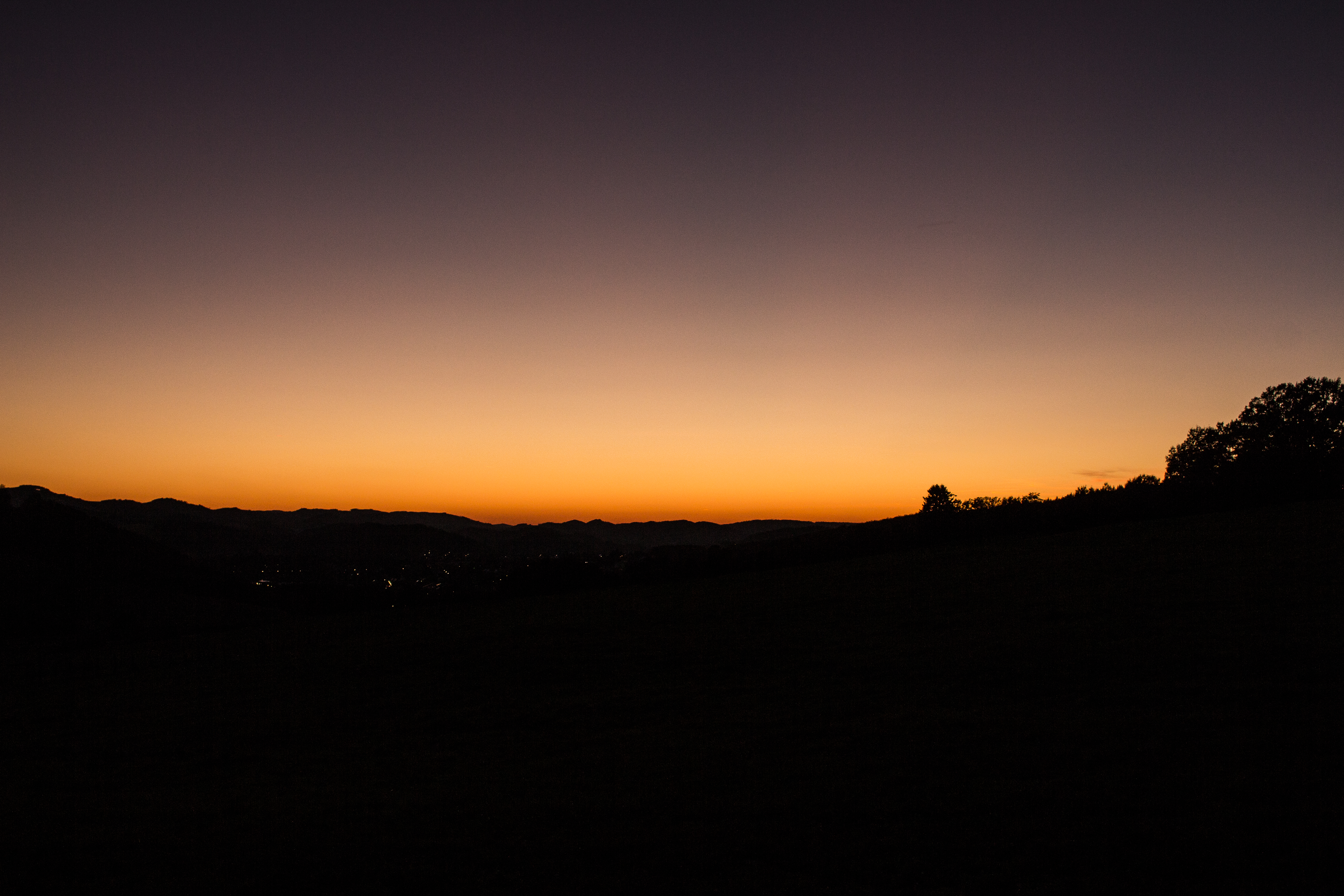
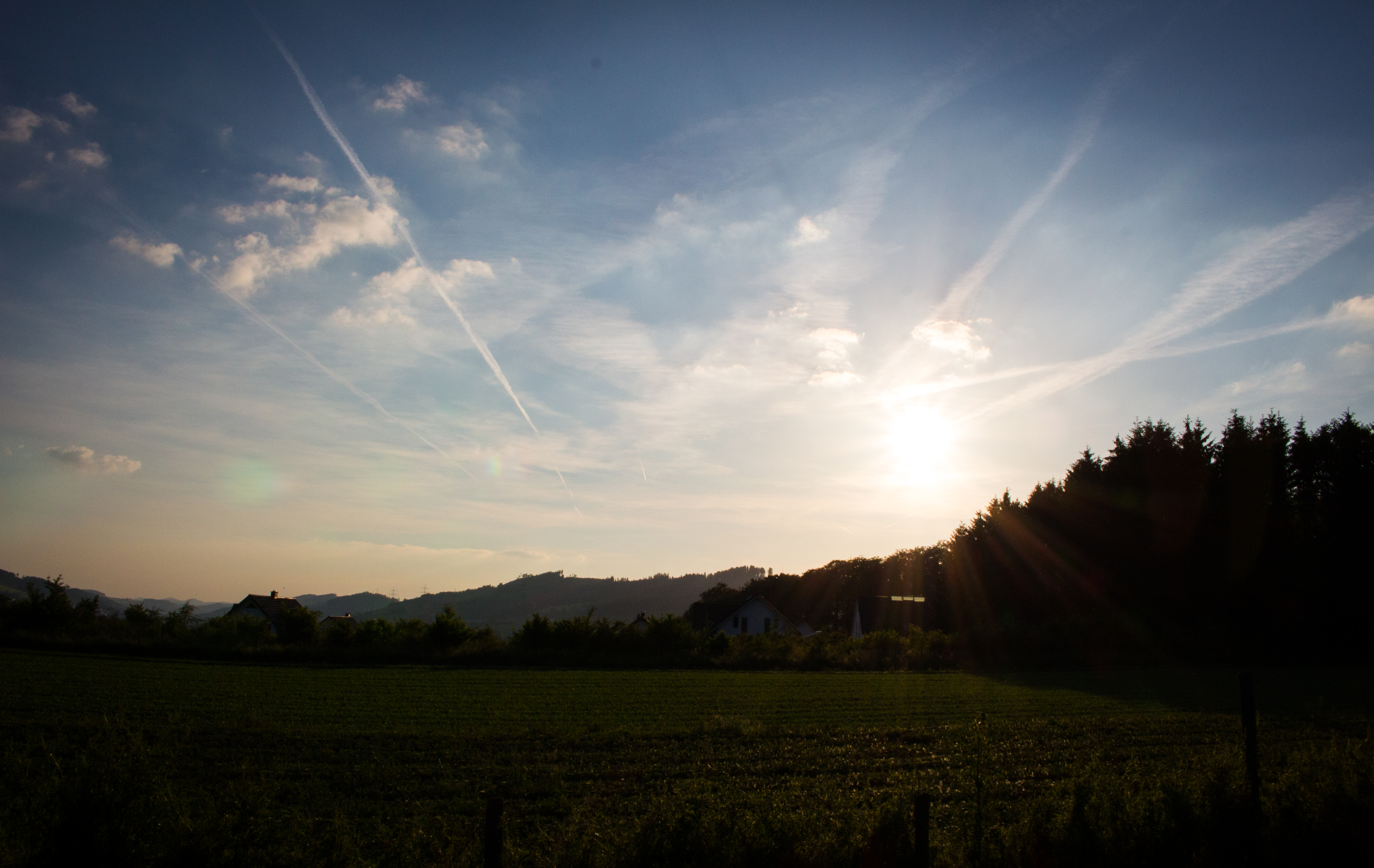
Romantic sunset view

CIMG5753 Kopie
Bruchhauser-Steine
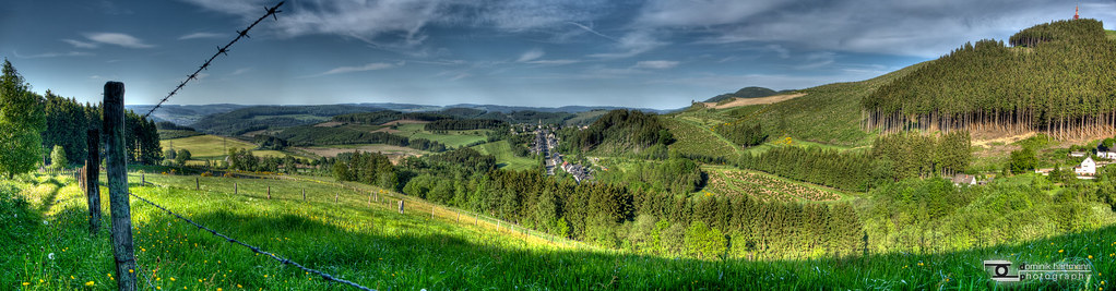
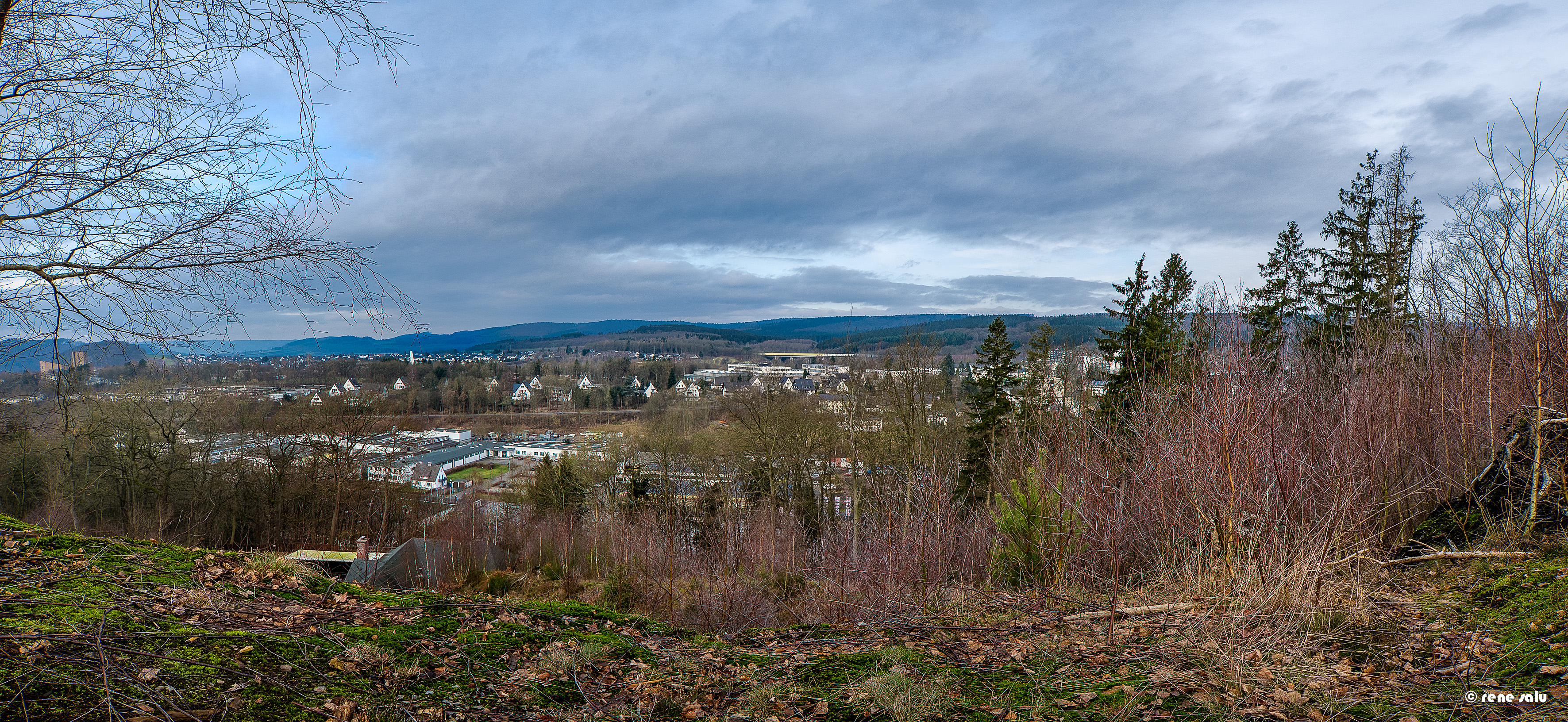
Blick ins Sauerland
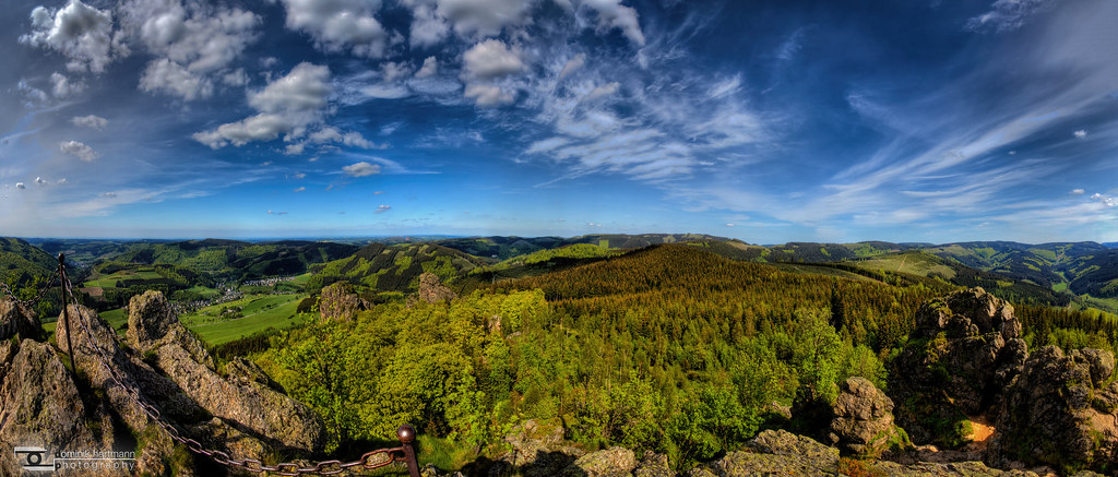
Epic view!
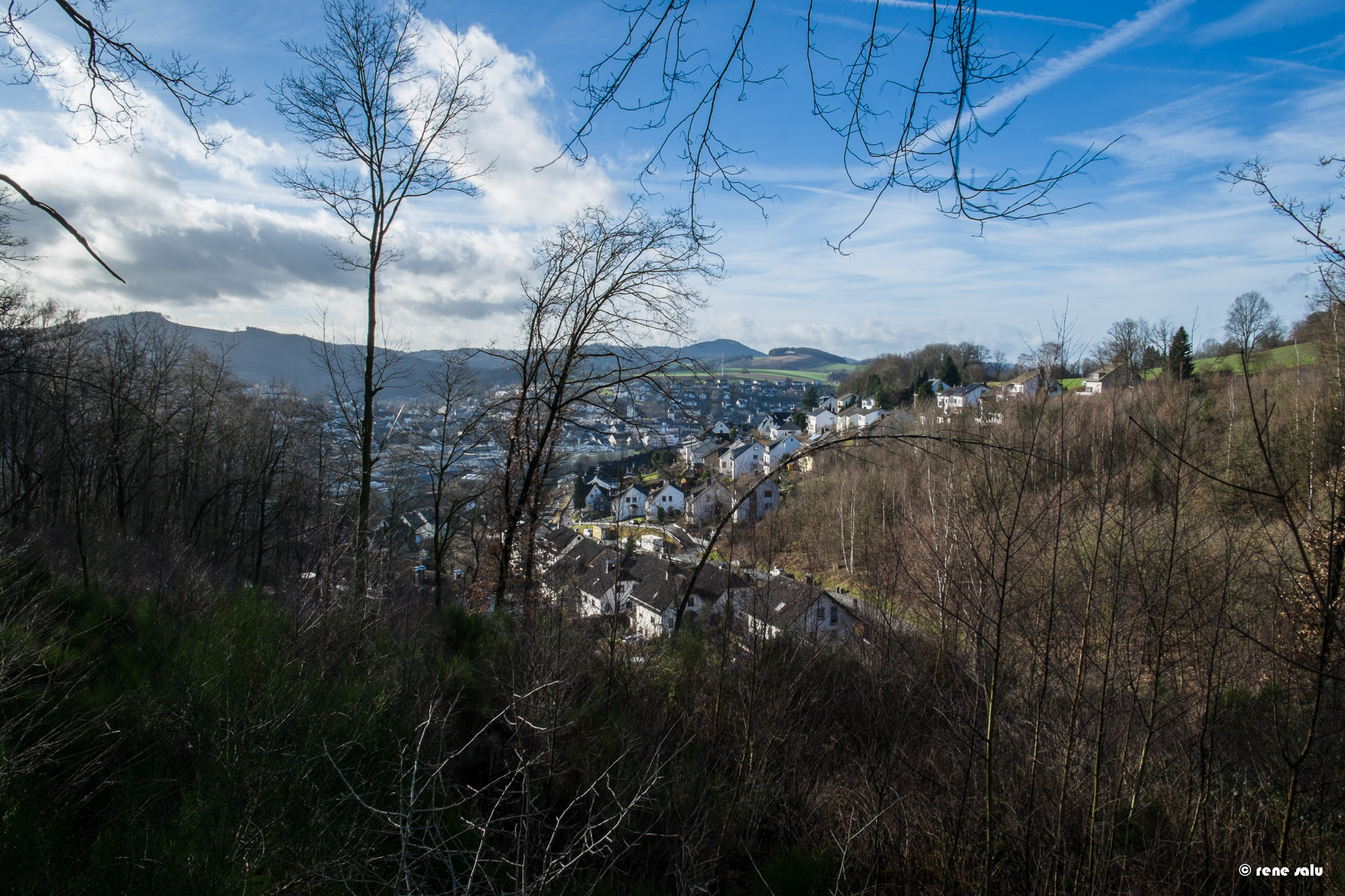
View to Meschede from the Hüneburg
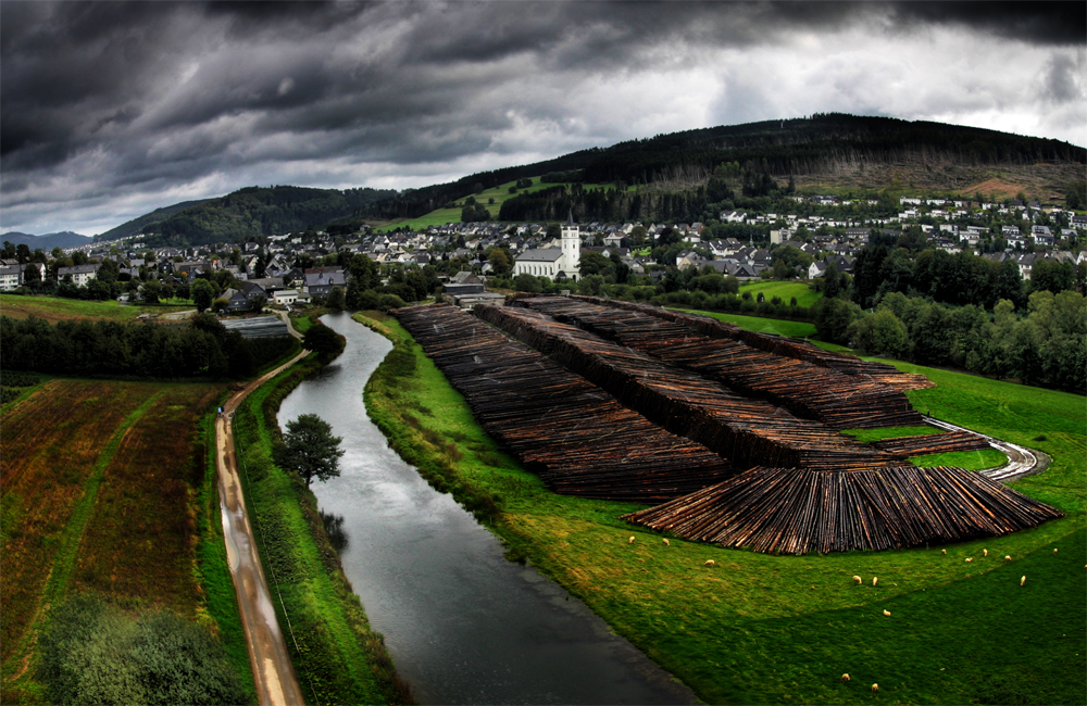
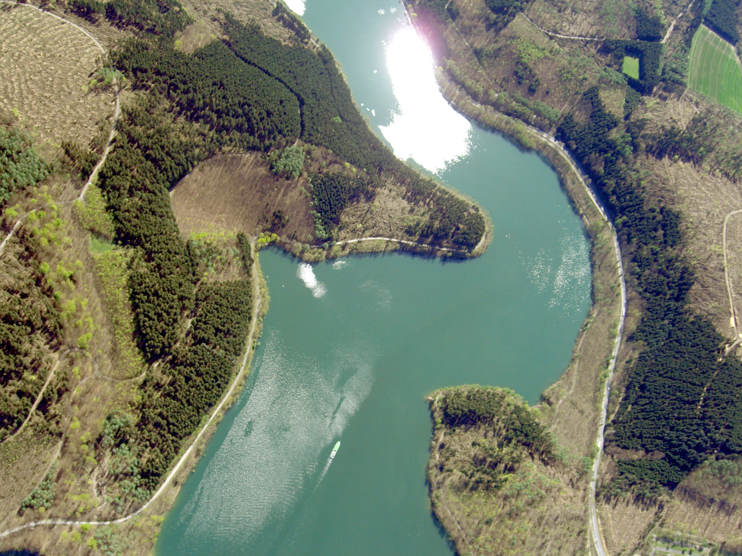
Meschede view from Hennesee Dam

_DSF1003.jpg
Velmede (El Greco's view)
Im Schwarzen Bruch
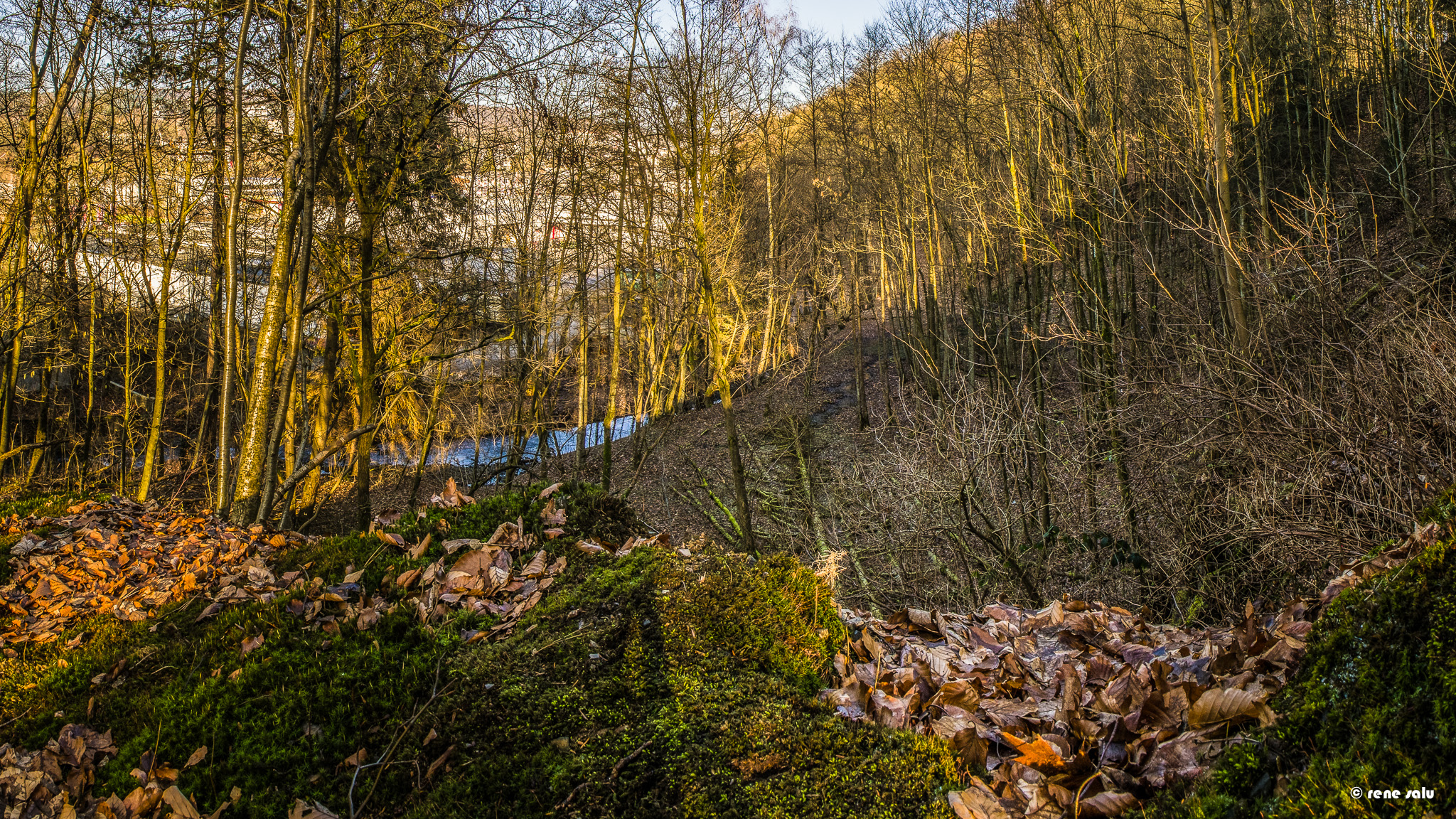
view on the gebke river
CIMG5758 Kopie

CIMG5756 Kopie
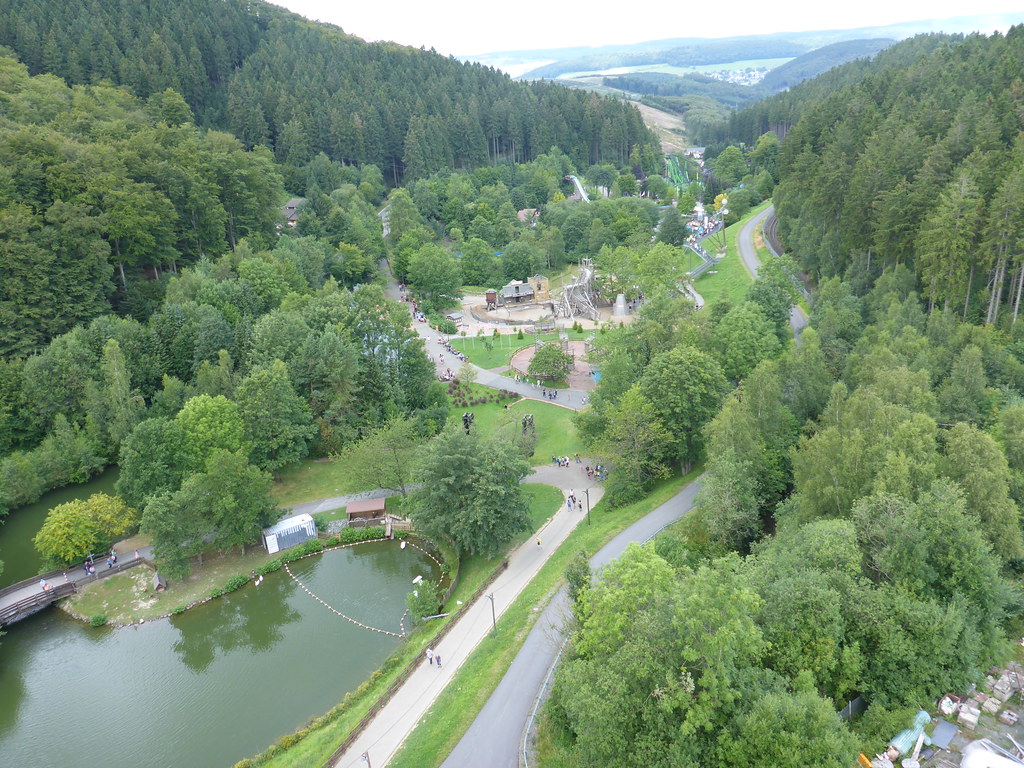
View from the Ferris wheel
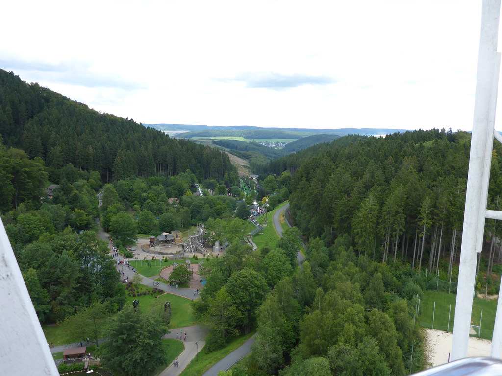
View from the Ferris wheel

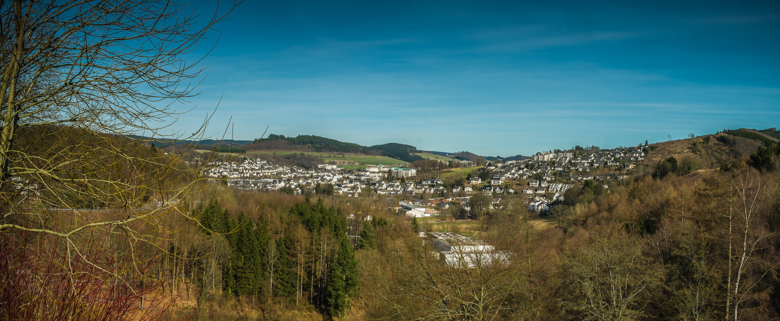
A view over Meschede

CIMG5750 Kopie
Topographic Map of Bestwig, Germany
Find elevation by address:

Places in Bestwig, Germany:
Places near Bestwig, Germany:
Halbeswig 1, Bestwig, Germany
Berlar
Zum Knüll 6, Bestwig, Germany
Hochsauerlandkreis
Kallenhardter Heide
Heide 15, Rüthen, Germany
Warstein
Jakobusstraße 12, Meschede, Germany
Remblinghausen
Meschede
Romecke
Romeckeweg 86, Warstein, Germany
Rüthen
Menzel
Menzeler Str. 36, Rüthen, Germany
Hennetalstraße 18, Schmallenberg, Germany
Oberhenneborn
1a
Stockhauser Str. 11, Meschede, Germany
Stockhausen
Recent Searches:
- Elevation of Corso Fratelli Cairoli, 35, Macerata MC, Italy
- Elevation of Tallevast Rd, Sarasota, FL, USA
- Elevation of 4th St E, Sonoma, CA, USA
- Elevation of Black Hollow Rd, Pennsdale, PA, USA
- Elevation of Oakland Ave, Williamsport, PA, USA
- Elevation of Pedrógão Grande, Portugal
- Elevation of Klee Dr, Martinsburg, WV, USA
- Elevation of Via Roma, Pieranica CR, Italy
- Elevation of Tavkvetili Mountain, Georgia
- Elevation of Hartfords Bluff Cir, Mt Pleasant, SC, USA