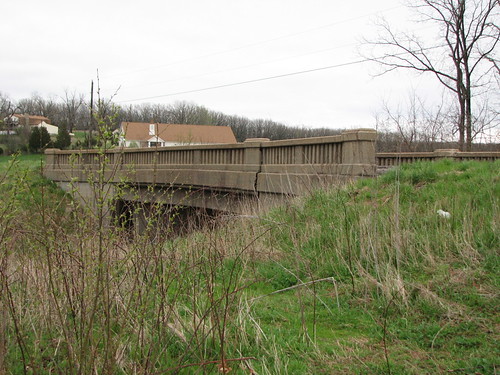
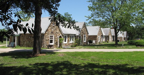
Elevation of Benton Township, MO, USA
Location: United States > Missouri > Crawford County >
Longitude: -91.385516
Latitude: 38.0761671
Elevation: 315m / 1033feet
Barometric Pressure: 98KPa
Related Photos:
Topographic Map of Benton Township, MO, USA
Find elevation by address:

Places near Benton Township, MO, USA:
Cuba
Oakdale Circle
North Hobby Hut Road
Meramec Township
Crawford County
216 W Hickory Ridge Rd
631 Frisco St
698 Owls Hollow Rd
Bourbon
Japan
Liberty Township
Saint Cloud
Boone Township
North Service Rd W, Bourbon, MO, USA
Blue Springs Ranch
Butts Rd, Steelville, MO, USA
State Hwy N, Bourbon, MO, USA
7254 Indian Bend Rd
Champion City Church Road
Sullivan
Recent Searches:
- Elevation of Corso Fratelli Cairoli, 35, Macerata MC, Italy
- Elevation of Tallevast Rd, Sarasota, FL, USA
- Elevation of 4th St E, Sonoma, CA, USA
- Elevation of Black Hollow Rd, Pennsdale, PA, USA
- Elevation of Oakland Ave, Williamsport, PA, USA
- Elevation of Pedrógão Grande, Portugal
- Elevation of Klee Dr, Martinsburg, WV, USA
- Elevation of Via Roma, Pieranica CR, Italy
- Elevation of Tavkvetili Mountain, Georgia
- Elevation of Hartfords Bluff Cir, Mt Pleasant, SC, USA

