Elevation of Bennington, Vancouver, WA, USA
Location: United States > Washington > Clark County > Vancouver >
Longitude: -122.49290
Latitude: 45.6153784
Elevation: 78m / 256feet
Barometric Pressure: 100KPa
Elevation Map:
Satellite Map:
Related Photos:

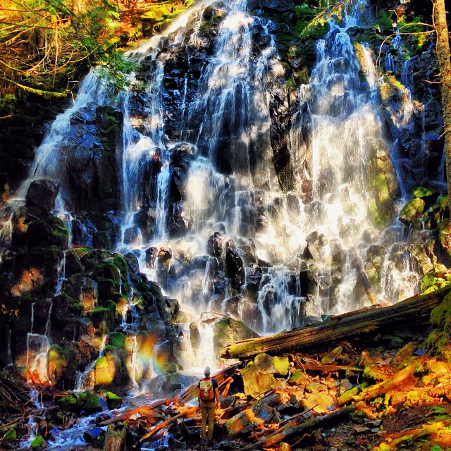
Into the Green Unknown
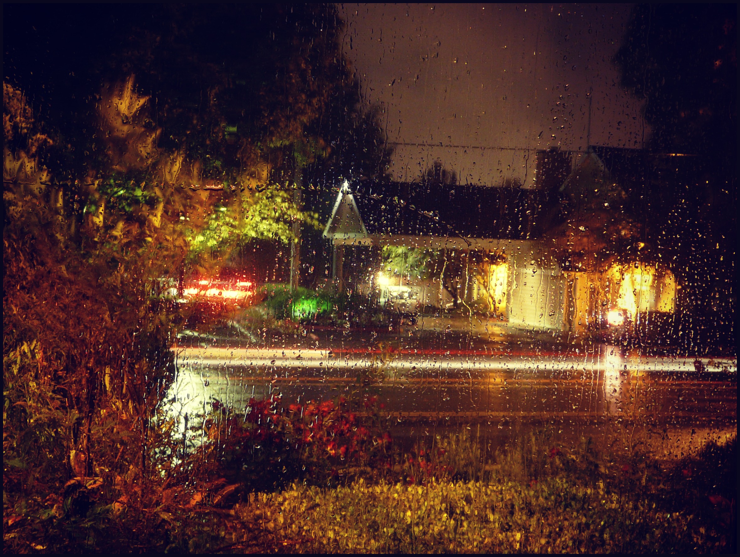
View out the front window on a rainy night
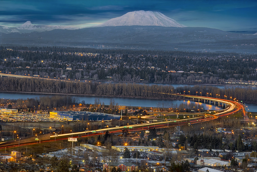
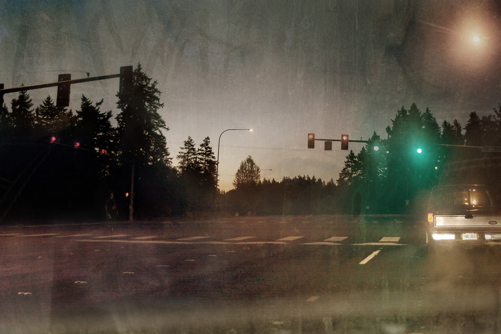
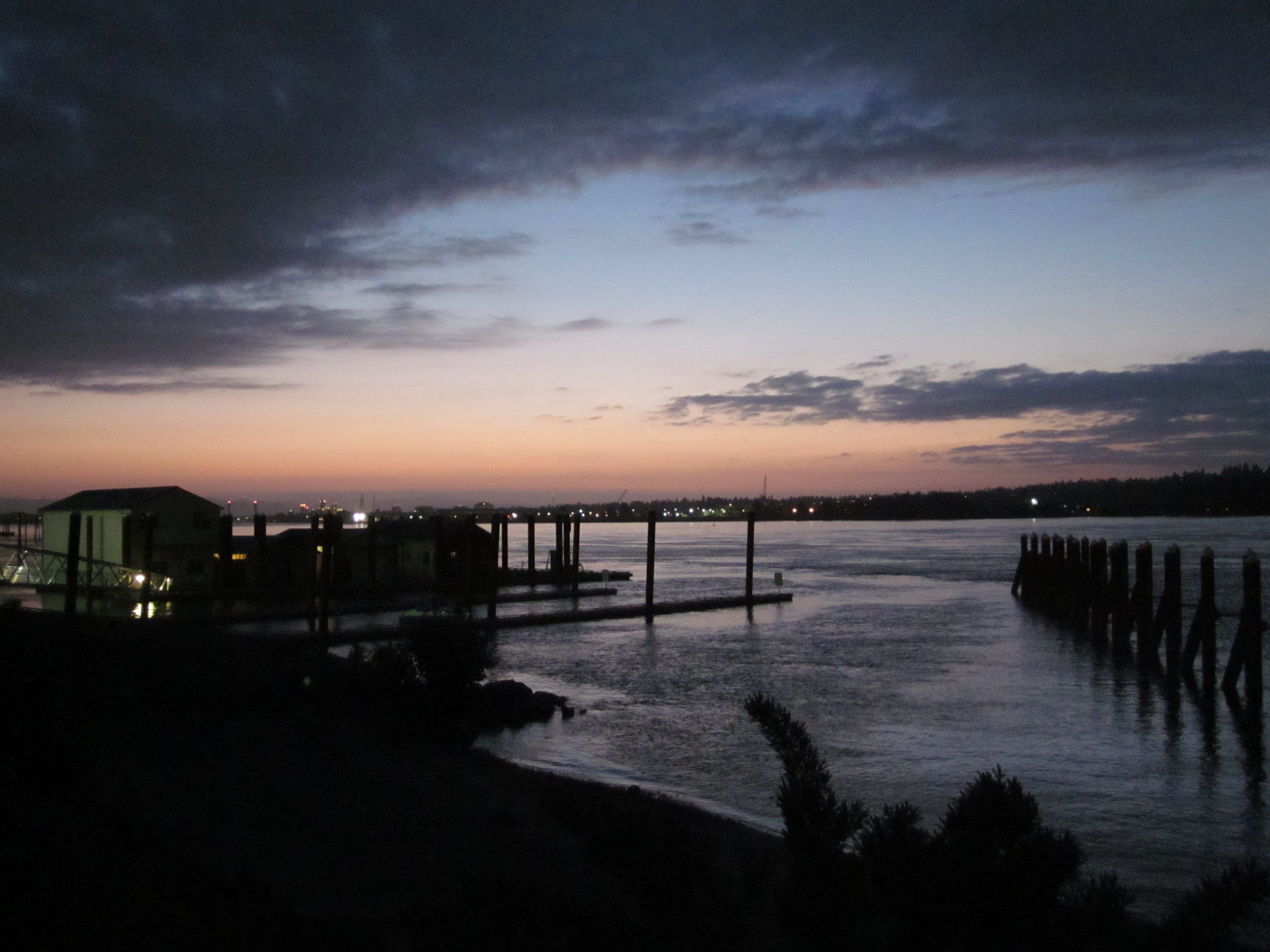
I-205 Blue Hour
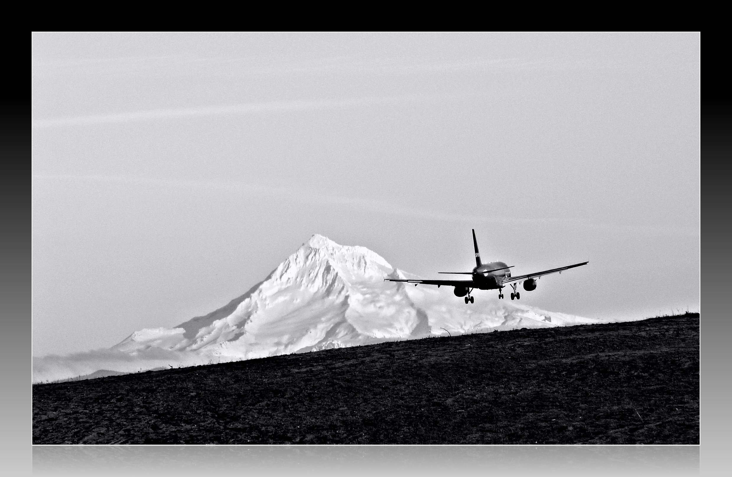
Leavin' on a Jet Plane
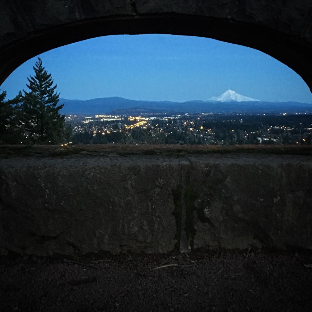
Just another spectacular Mount Hood view
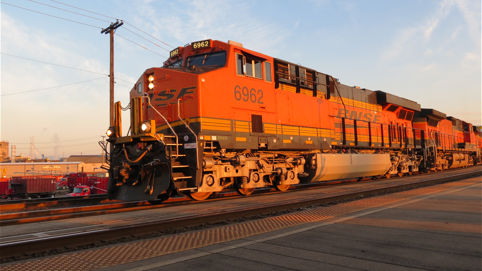
Diesel Locomotive (Start Up)
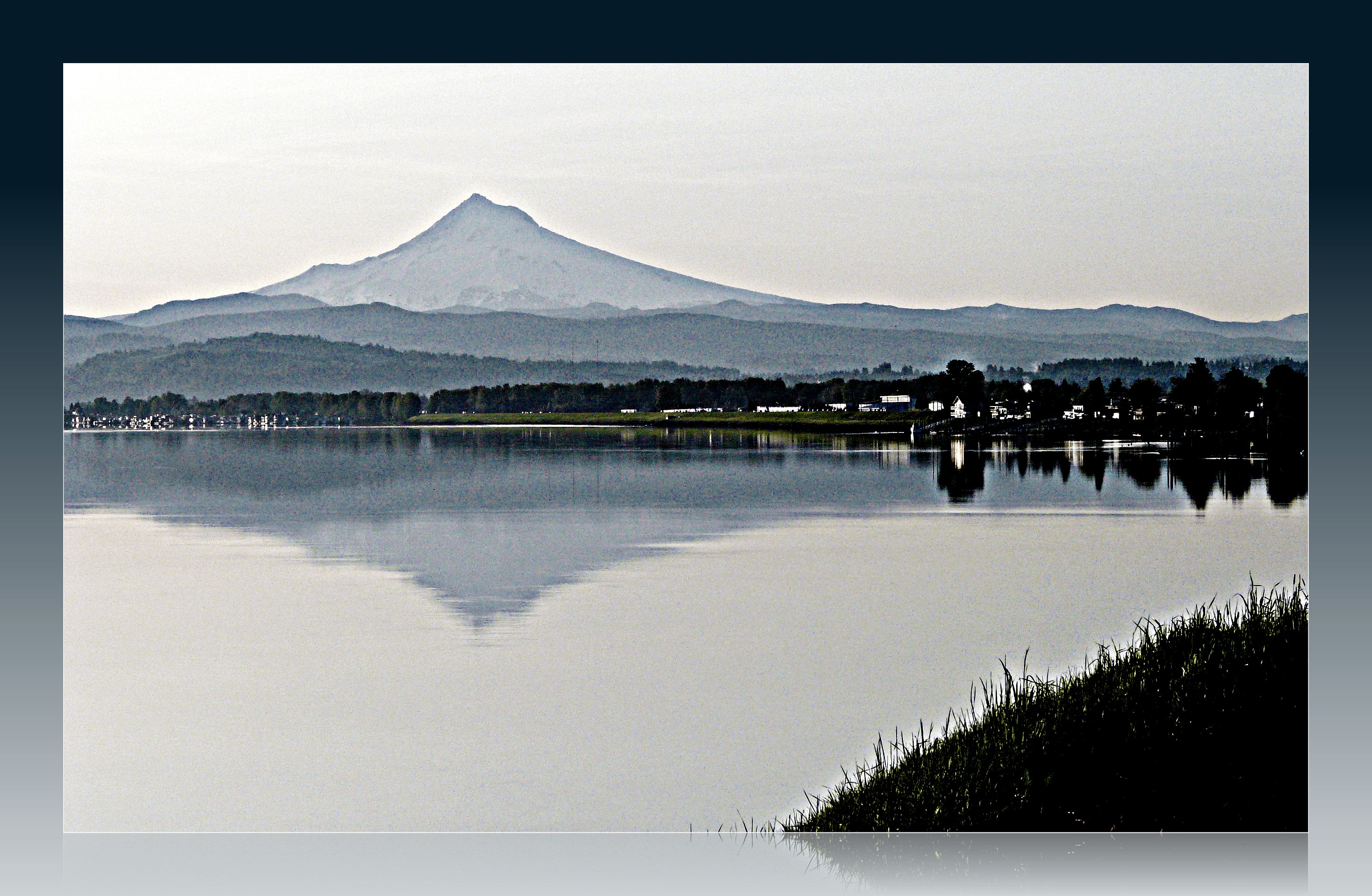
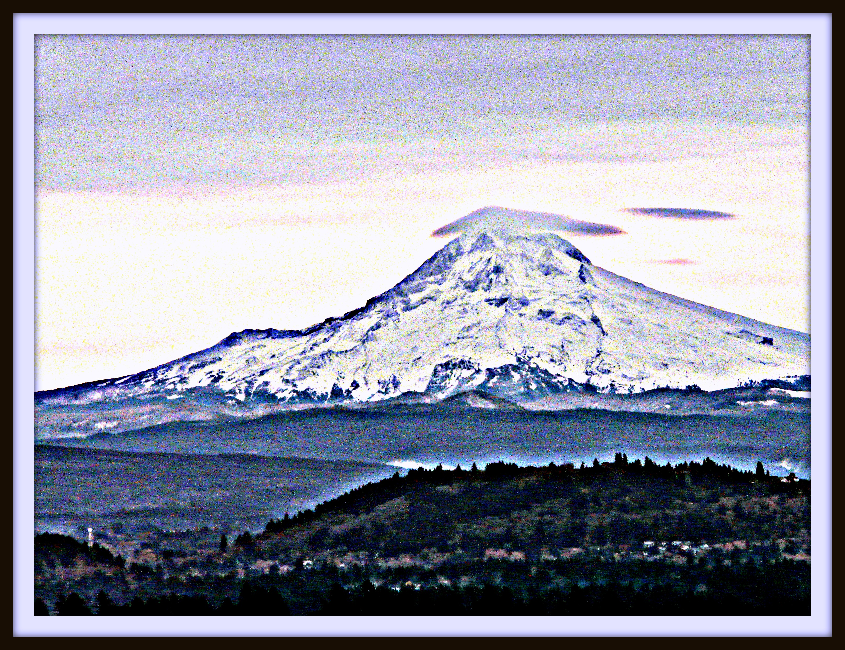
Great view of Mt. Hood this morning!
The View
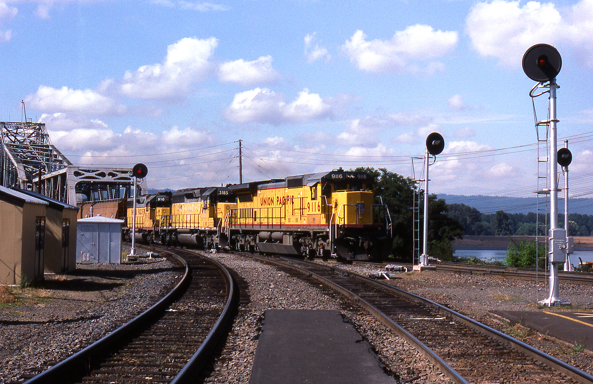
Seattle Bound Amongst the Searchlights

No, You Can't Touch It...

Self Portrait - Increased bordom (EXPLORE MAY 8TH!)
Missing the Point
#view #tree #mountain

Right at home
Side view
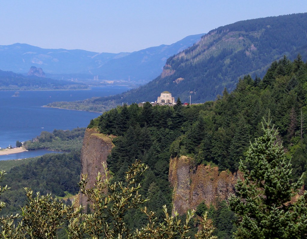
Crown Point, Columbia River Gorge
GO ~ or ~ how you'll stay with me
The Back
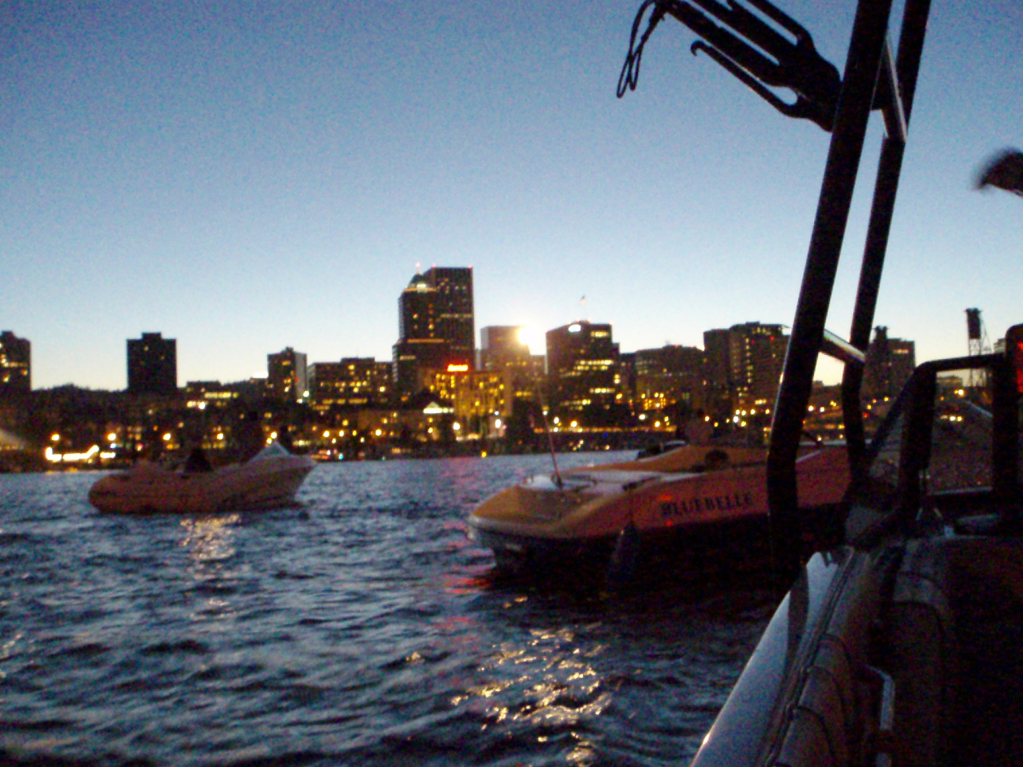
View of Portland from Boat

The search for Mount Hood (Explored Sept. 7, 2013, #151)

Little Hut Below Fall Trees, Gresham OR
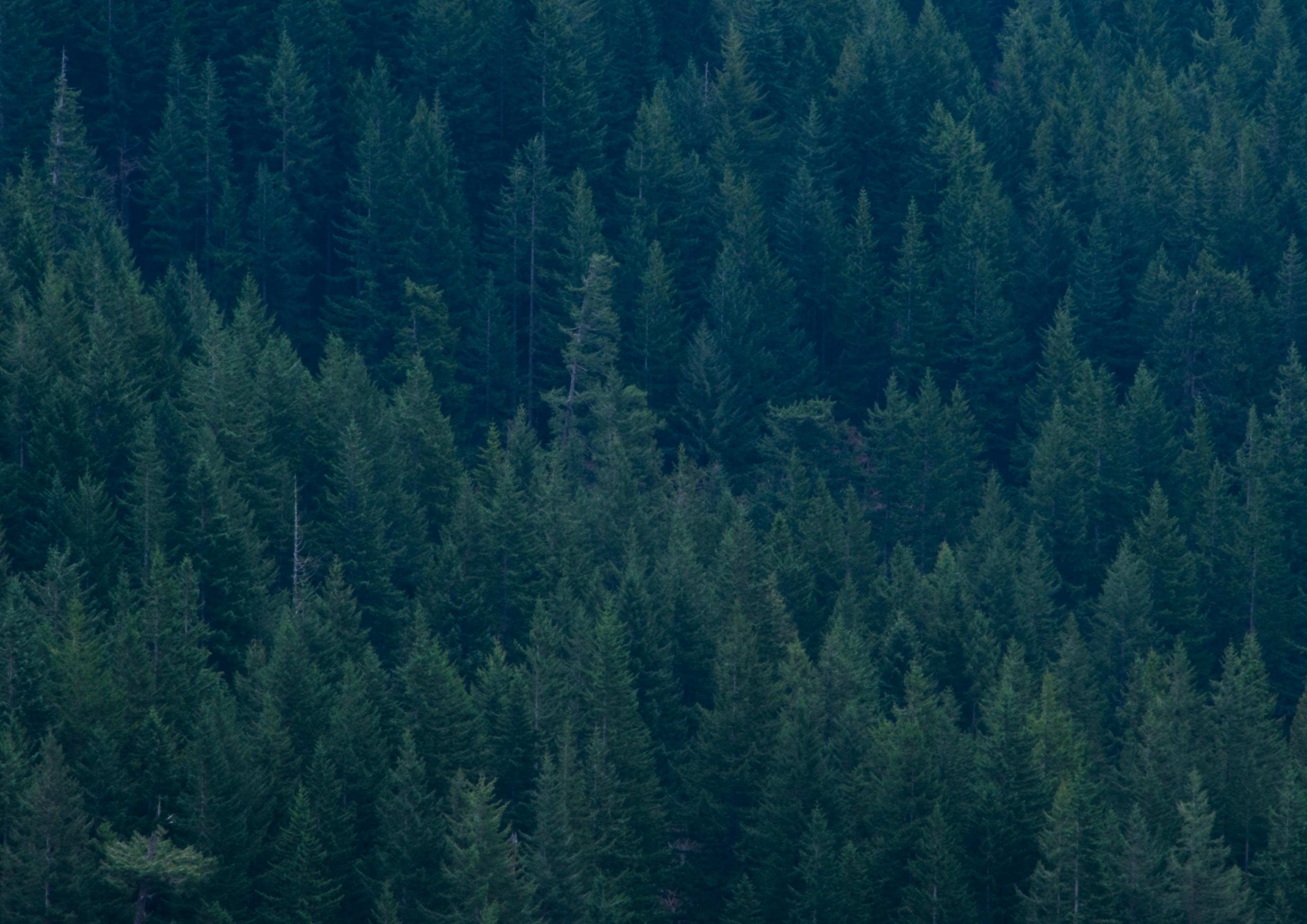
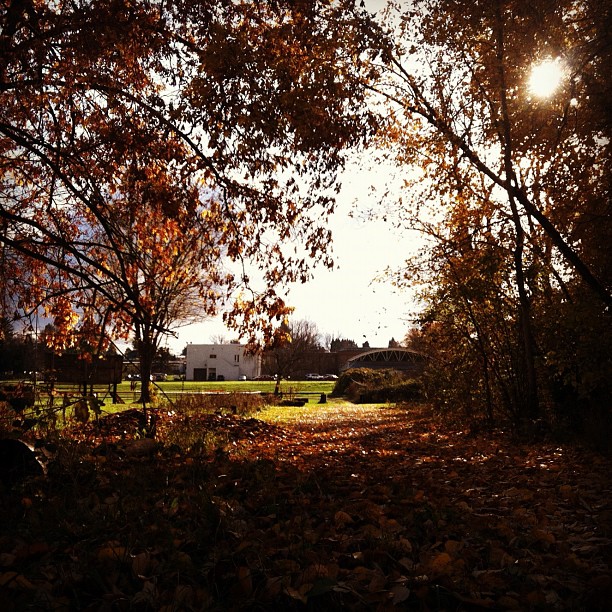
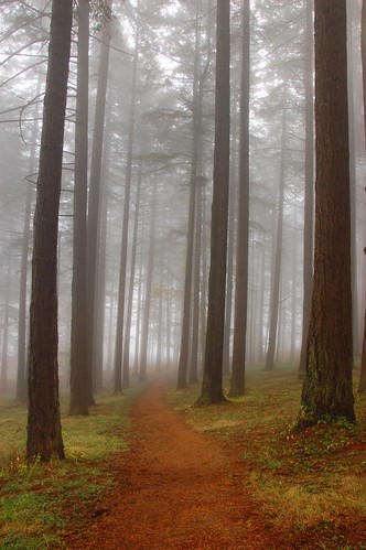
... new growth forest [Try L]

Mt. Hood seen from the top of Powell Butte.
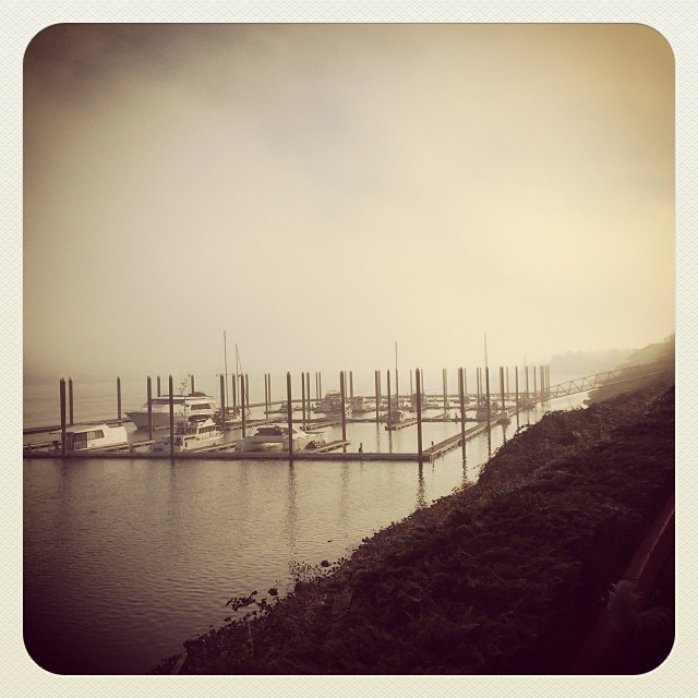
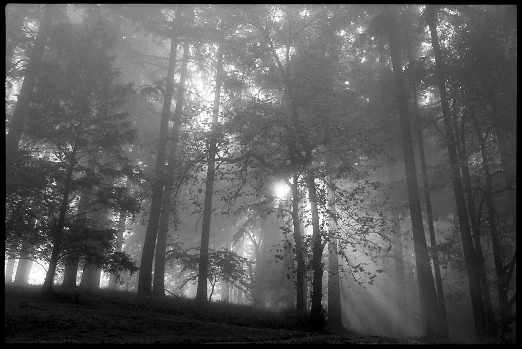
Into the fog

Sunset in Motion

gray/green

Woodstock Park #5
il fiume va (sa dove andare)
Nature Trail Sunbeams IV, SE Portland

Snow-capped moon-rise

302278592149881254_4043489520121223-28186-c2zwqe

Snow-capped moon-rise
Columbia River

Hello, #oregon.

PDX Sunset

vast open skies

Sandy River in May
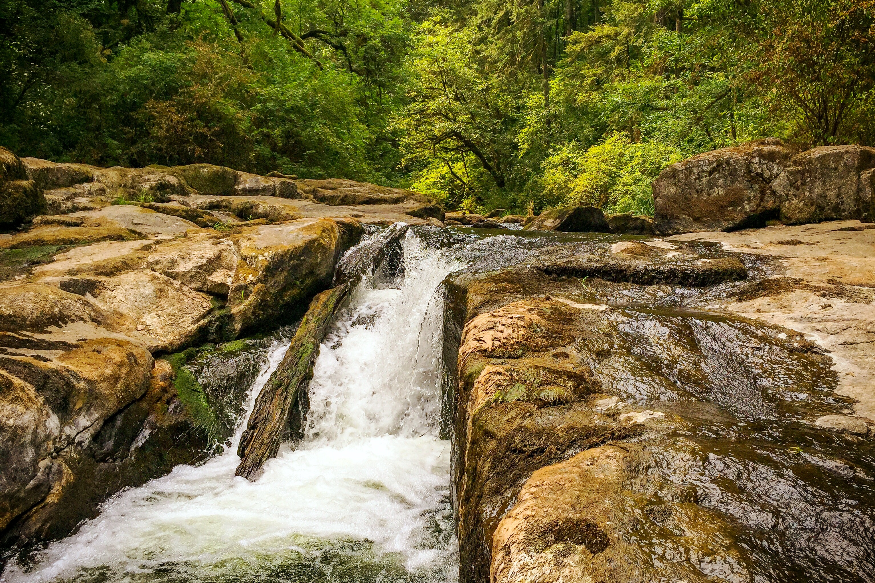
Below the Lower Falls, Lacamas Park
#now
#vscocam
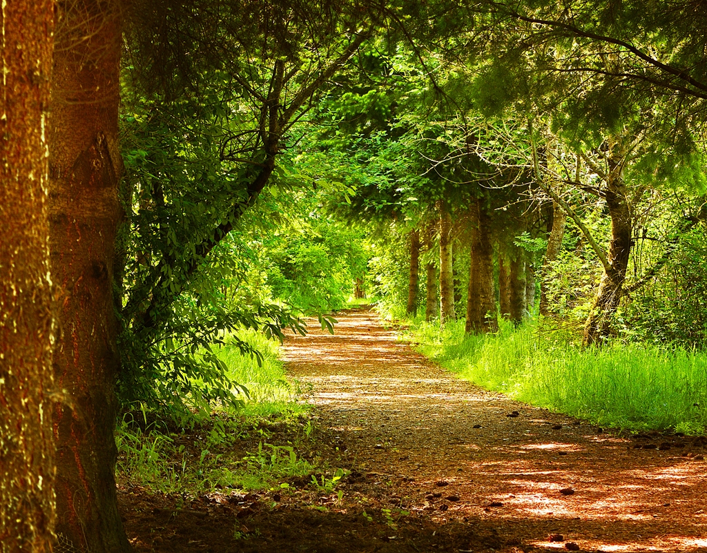
Spring Pathway

Colorful Sunset
Topographic Map of Bennington, Vancouver, WA, USA
Find elevation by address:

Places near Bennington, Vancouver, WA, USA:
16902 Se 5th St
305 Se 168th Ave
305 Se 168th Ave
301 Se 166th Ave
17313 Ne 5th St
16500 Se 1st St
807 Ne 169th Ct
Southeast 160th Avenue & Mill Plain Boulevard
16403 Ne 9th Way
16500 Se 1st St
16500 Se 1st St
15817 Ne 10th Way
Countryside Woods
17113 Ne 20th St
2005 Ne 178th Ave
1912 Ne 169th Ave
16802 Ne 20th St
17024 Ne 22nd St
15301 Ne 6th St
2017 Ne 25th St
Recent Searches:
- Elevation of Corso Fratelli Cairoli, 35, Macerata MC, Italy
- Elevation of Tallevast Rd, Sarasota, FL, USA
- Elevation of 4th St E, Sonoma, CA, USA
- Elevation of Black Hollow Rd, Pennsdale, PA, USA
- Elevation of Oakland Ave, Williamsport, PA, USA
- Elevation of Pedrógão Grande, Portugal
- Elevation of Klee Dr, Martinsburg, WV, USA
- Elevation of Via Roma, Pieranica CR, Italy
- Elevation of Tavkvetili Mountain, Georgia
- Elevation of Hartfords Bluff Cir, Mt Pleasant, SC, USA