Elevation of Bennie Hill, Montana, USA
Location: United States > Montana > Pendroy >
Longitude: -112.8292225
Latitude: 48.0788454
Elevation: 2317m / 7602feet
Barometric Pressure: 0KPa
Related Photos:

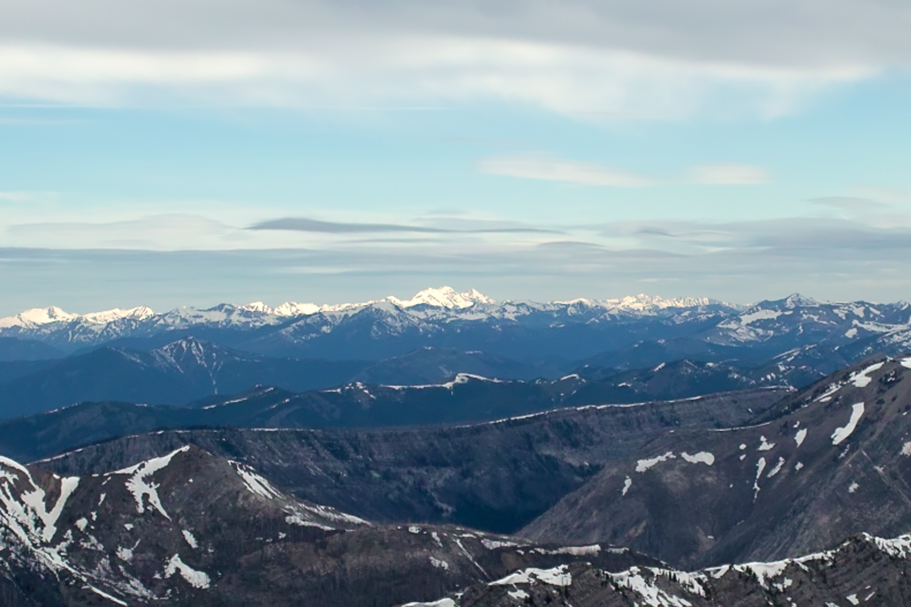
View to North from Mt Wright
SDIM7784 Mount Grant viewed from Mt Wright
Topographic Map of Bennie Hill, Montana, USA
Find elevation by address:

Places near Bennie Hill, Montana, USA:
Bum Shot Mountain
Walling Reef
Hurricane Mountain
Old Man Of The Hills
Mount Patrick Gass
Crooked Mountain
Corrugate Ridge
Mount Sentinel
Mount Richmond
Bighorn Mountain
Washboard Reef
Wrong Ridge
Mount Lockhart
Major Steele Backbone
Pondera County Hp
Porphyry Reef
Choteau Mountain
Wapiti Ridge North
Teton Peak
Feather Woman Mountain
Recent Searches:
- Elevation map of Greenland, Greenland
- Elevation of Sullivan Hill, New York, New York, 10002, USA
- Elevation of Morehead Road, Withrow Downs, Charlotte, Mecklenburg County, North Carolina, 28262, USA
- Elevation of 2800, Morehead Road, Withrow Downs, Charlotte, Mecklenburg County, North Carolina, 28262, USA
- Elevation of Yangbi Yi Autonomous County, Yunnan, China
- Elevation of Pingpo, Yangbi Yi Autonomous County, Yunnan, China
- Elevation of Mount Malong, Pingpo, Yangbi Yi Autonomous County, Yunnan, China
- Elevation map of Yongping County, Yunnan, China
- Elevation of North 8th Street, Palatka, Putnam County, Florida, 32177, USA
- Elevation of 107, Big Apple Road, East Palatka, Putnam County, Florida, 32131, USA
- Elevation of Jiezi, Chongzhou City, Sichuan, China
- Elevation of Chongzhou City, Sichuan, China
- Elevation of Huaiyuan, Chongzhou City, Sichuan, China
- Elevation of Qingxia, Chengdu, Sichuan, China
- Elevation of Corso Fratelli Cairoli, 35, Macerata MC, Italy
- Elevation of Tallevast Rd, Sarasota, FL, USA
- Elevation of 4th St E, Sonoma, CA, USA
- Elevation of Black Hollow Rd, Pennsdale, PA, USA
- Elevation of Oakland Ave, Williamsport, PA, USA
- Elevation of Pedrógão Grande, Portugal