Elevation of Benloch VIC, Australia
Location: Australia > Victoria > Macedon Ranges Shire >
Longitude: 144.686299
Latitude: -37.202941
Elevation: 621m / 2037feet
Barometric Pressure: 94KPa
Elevation Map:
Satellite Map:
Related Photos:
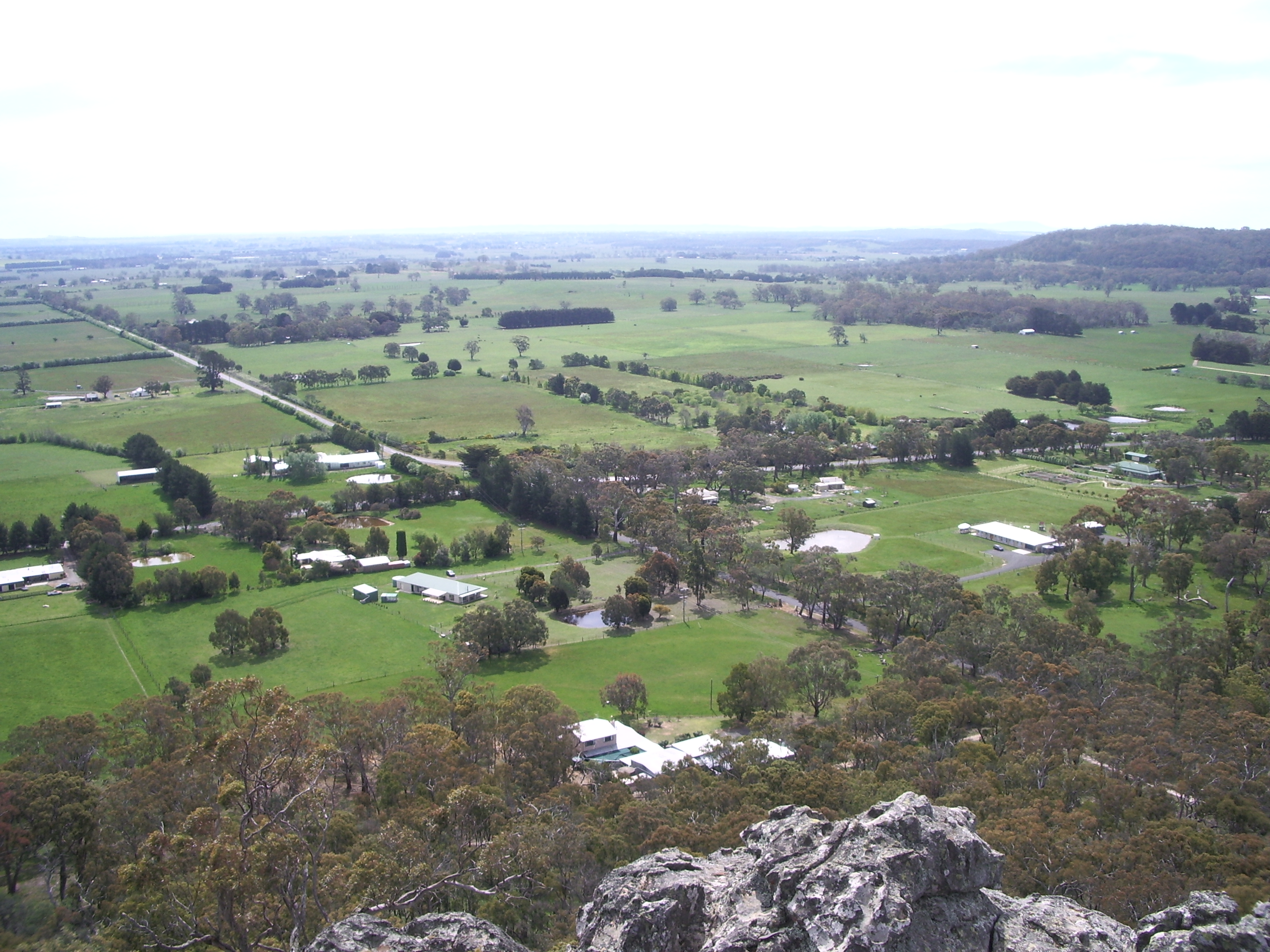
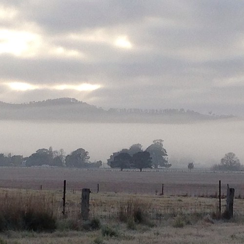
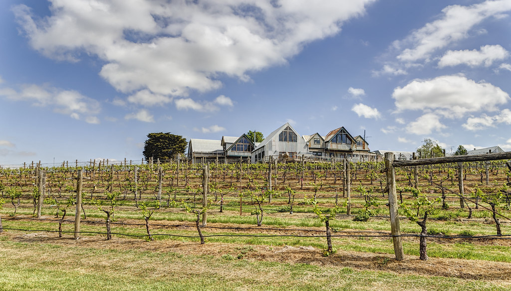
Green fields
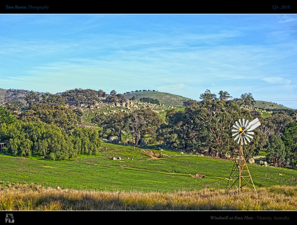
Windmill at Emu Flats
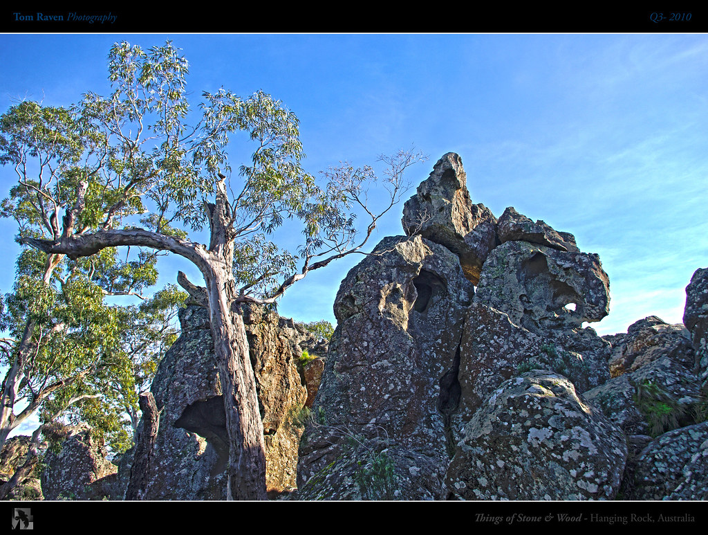
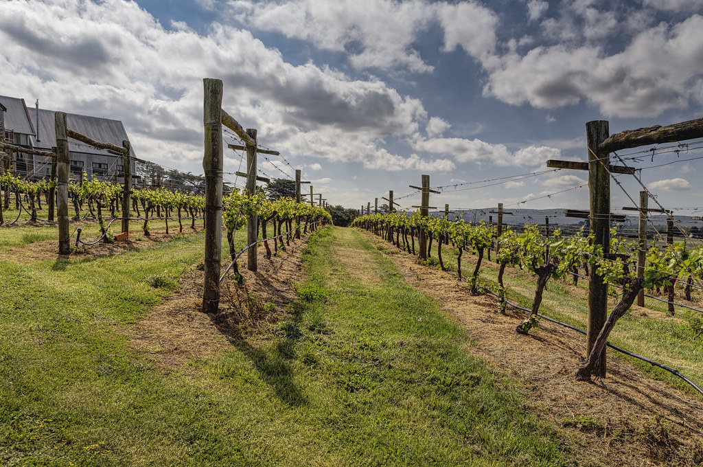
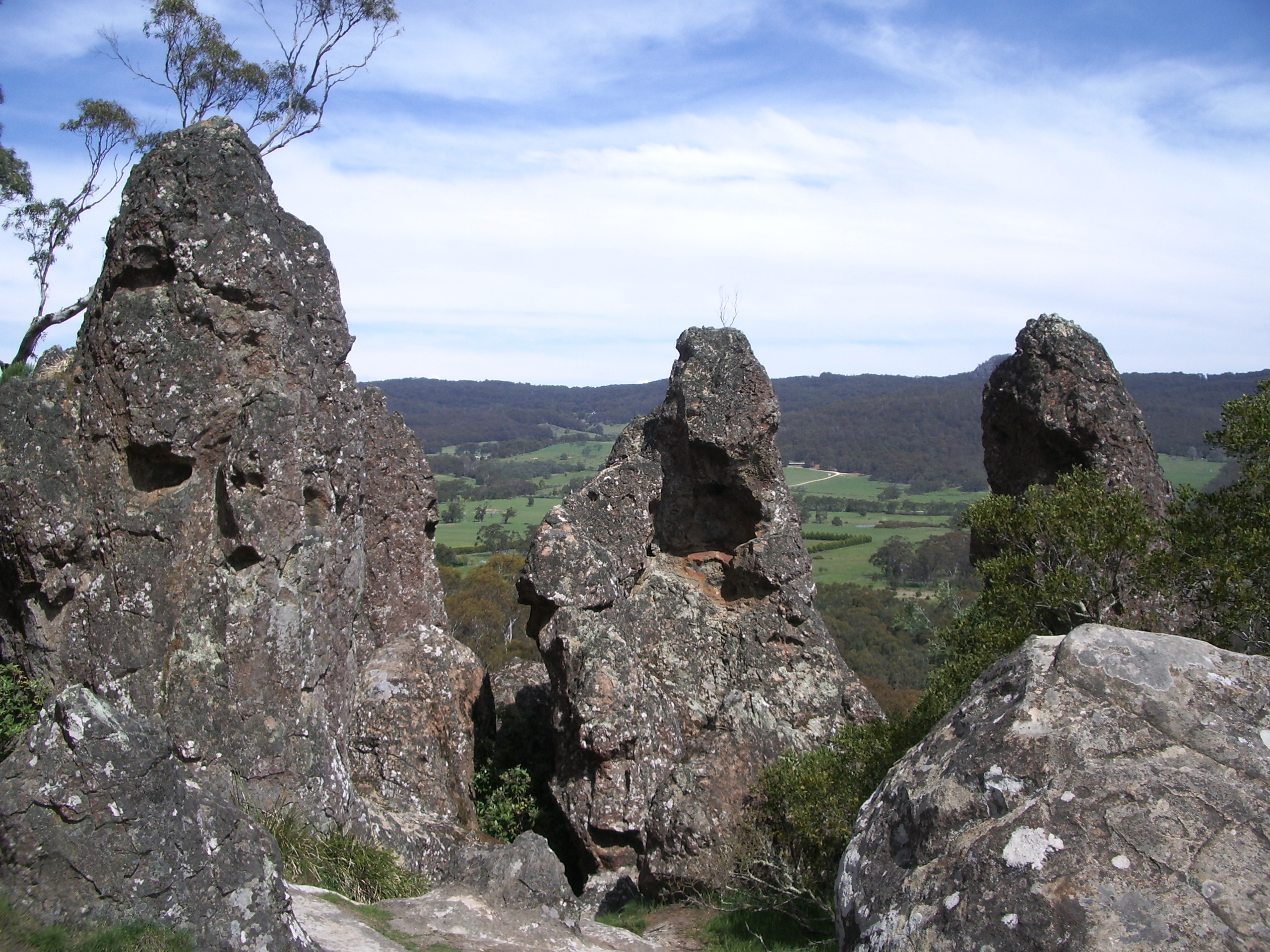
Things of Stone and Wood
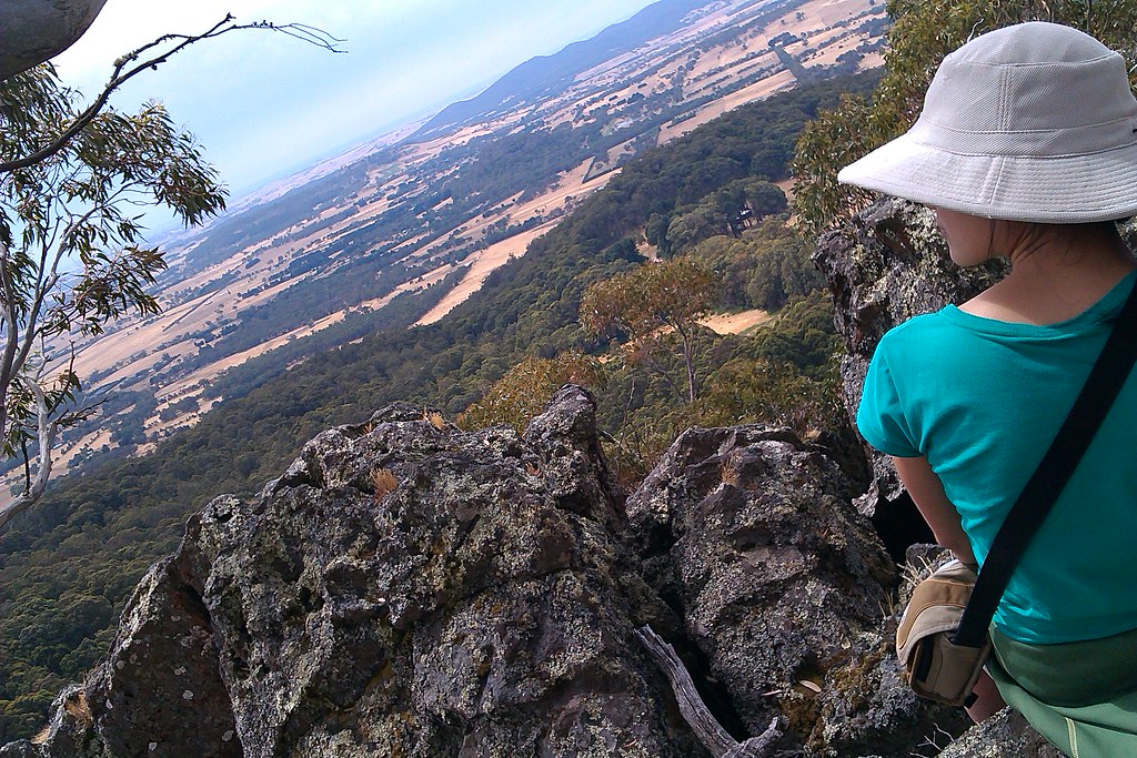
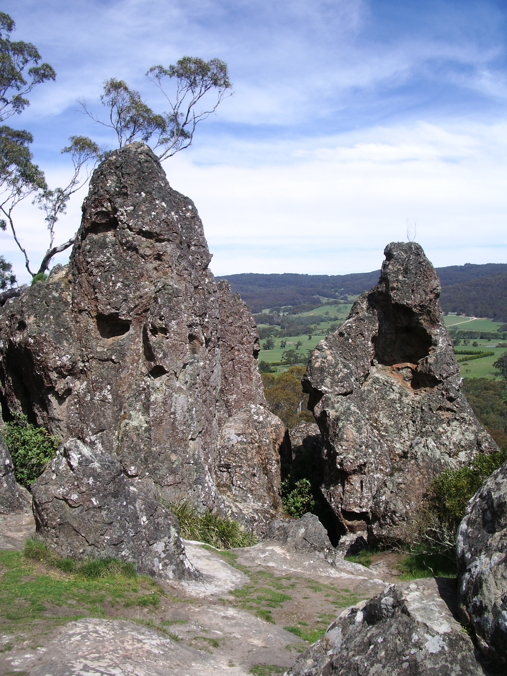
IMAG0014 - Picnic Overlooking Hanging Rock

The Little Chapel.
Central Highlands of Victoria
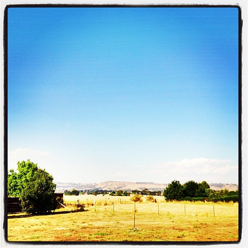
Dry country
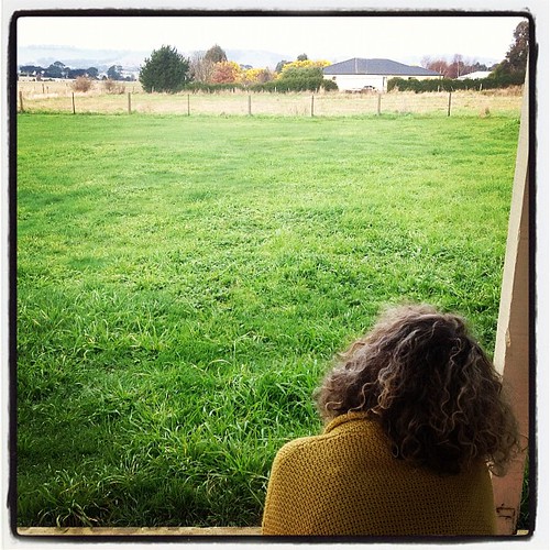
@MissLisaPee Calling home...
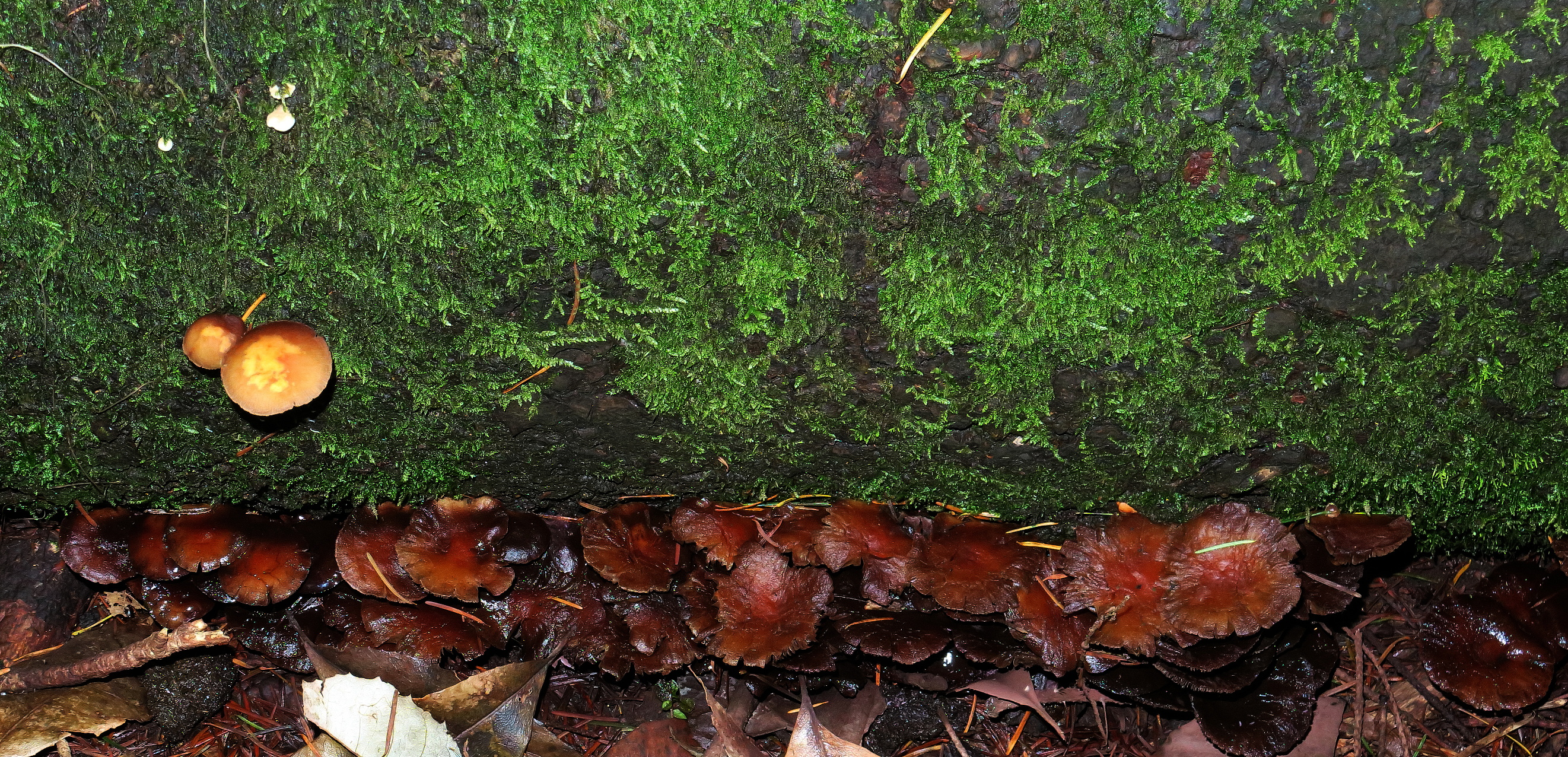
Mount Macedon fungi etc 2017 125
Highcamp, Victoria
Greenfleet Planting Day, Vic ~ Aug 2018
Lone Tree
Site assessment, pre planting, The New Forest, 2017
Morning #nofilter
Grange Cleveland 2015-10-25 (_MG_3199-201)
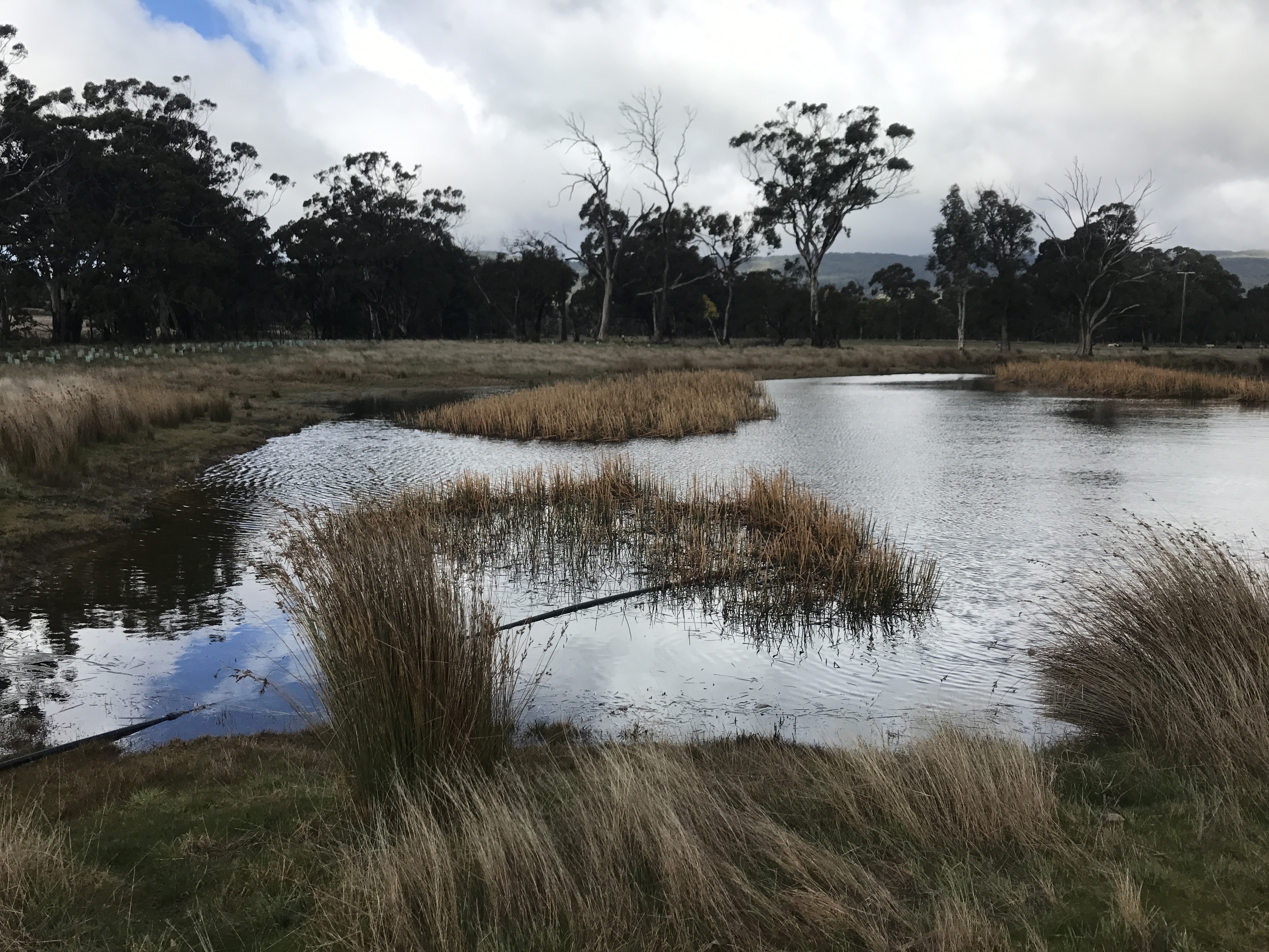
Site assessment, pre planting, The New Forest, 2017

Grange Cleveland Lancefield 2015-10-24 (_MG_3253-66)
Volcanic rocks
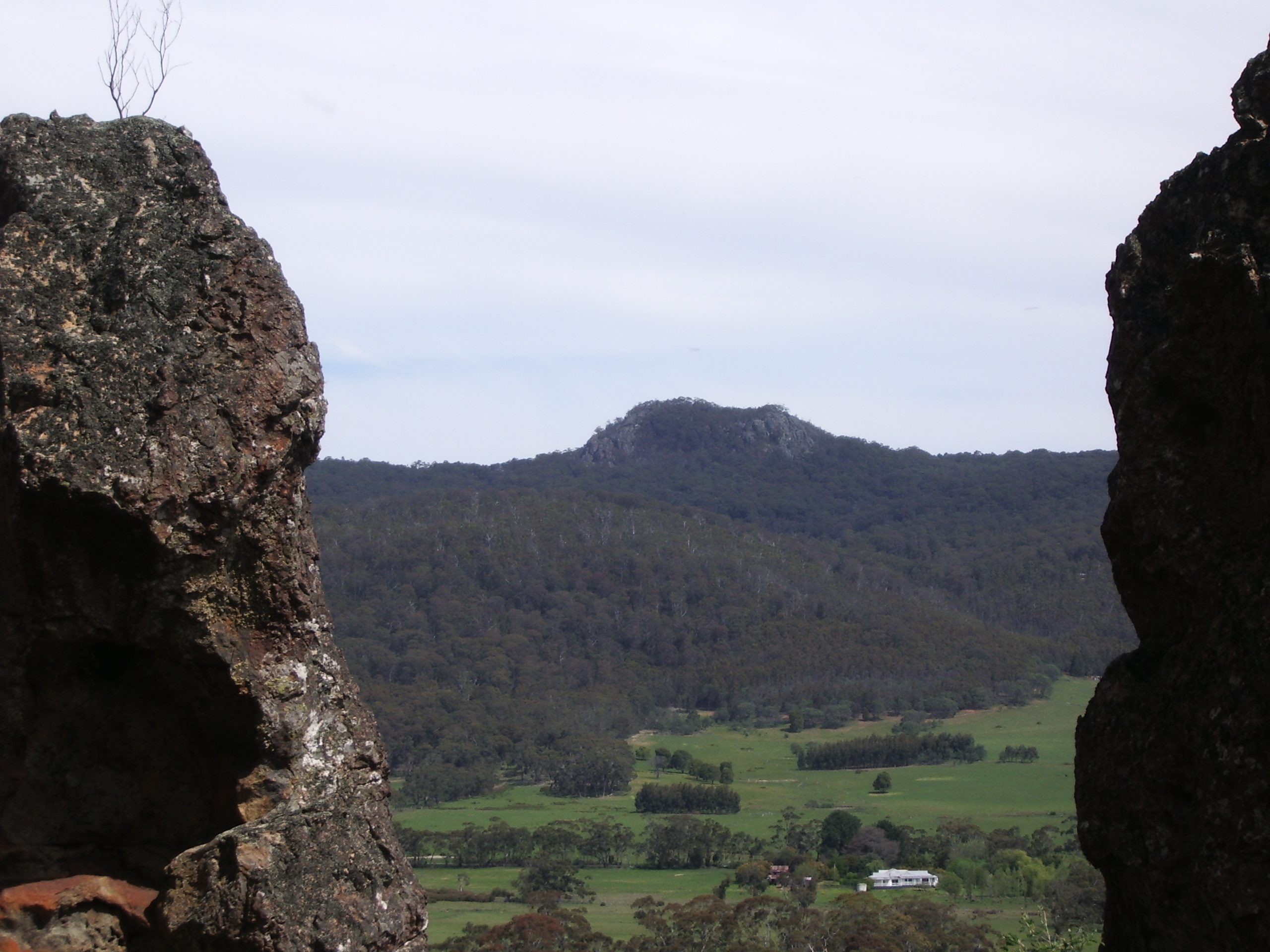
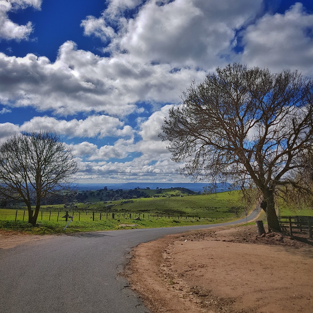
Mt Macedon
Toward Mt Macedon
Progressive rock
Grange Cleveland Lancefield 2015-10-24 (_MG_3217)
Grange Cleveland 2015-10-25 (_MG_3156-8)
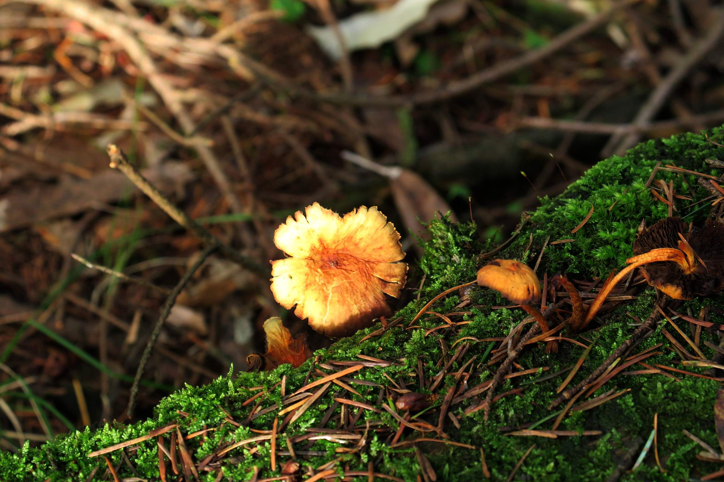
Mount Macedon fungi etc 2017 1148
Topographic Map of Benloch VIC, Australia
Find elevation by address:

Places in Benloch VIC, Australia:
Places near Benloch VIC, Australia:
Baynton Springs
888 Burke And Wills Track
930 Burke And Wills Track
930 Burke And Wills Track
930 Burke And Wills Track
1130 Burke And Wills Track
1130 Burke And Wills Track
60 High St
Macedon Ranges Shire
Langley
Cadello
45 Rutters Ln
81 Carlsruhe Cemetery Rd
Braemar College Mt Macedon Campus
Carlsruhe
8 Ebden St
51 Andrew Ave
101 Verekers Ln
49 Lowry Dr
149 Alton Rd
Recent Searches:
- Elevation of Corso Fratelli Cairoli, 35, Macerata MC, Italy
- Elevation of Tallevast Rd, Sarasota, FL, USA
- Elevation of 4th St E, Sonoma, CA, USA
- Elevation of Black Hollow Rd, Pennsdale, PA, USA
- Elevation of Oakland Ave, Williamsport, PA, USA
- Elevation of Pedrógão Grande, Portugal
- Elevation of Klee Dr, Martinsburg, WV, USA
- Elevation of Via Roma, Pieranica CR, Italy
- Elevation of Tavkvetili Mountain, Georgia
- Elevation of Hartfords Bluff Cir, Mt Pleasant, SC, USA