Elevation of Beneva Rd, Milton, FL, USA
Location: United States > Florida > Santa Rosa County > Milton >
Longitude: -86.990423
Latitude: 30.617479
Elevation: 21m / 69feet
Barometric Pressure: 101KPa
Elevation Map:
Satellite Map:
Related Photos:

Epic view (edit 2)

Santa Rosa County, FL Courthouse - Milton, FL

The Web of Dreams

3-Milton-2006-20
10-Milton-2006-12

the cure for boredom

Museum of Local History - Closed

IMG_2338 (2)
Colour Of Life Water Reflections River View Park Vacation Hello World Check This Out Hanging Out That's Me Enjoying Life Sun Beauty In Nature

#finallyblueskies
Blackwater River State Park, Florida

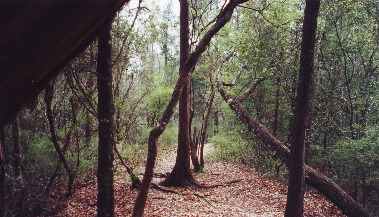
Hiking...

I'm Sittin' on the Dock of the Bay

Blackwater River State Park, Florida

Green leaves with dew

Blackwater Bay, Milton, Florida
Blackwater River State Park, Florida
Arcadia Mill Site

Blackwater River

East Bay
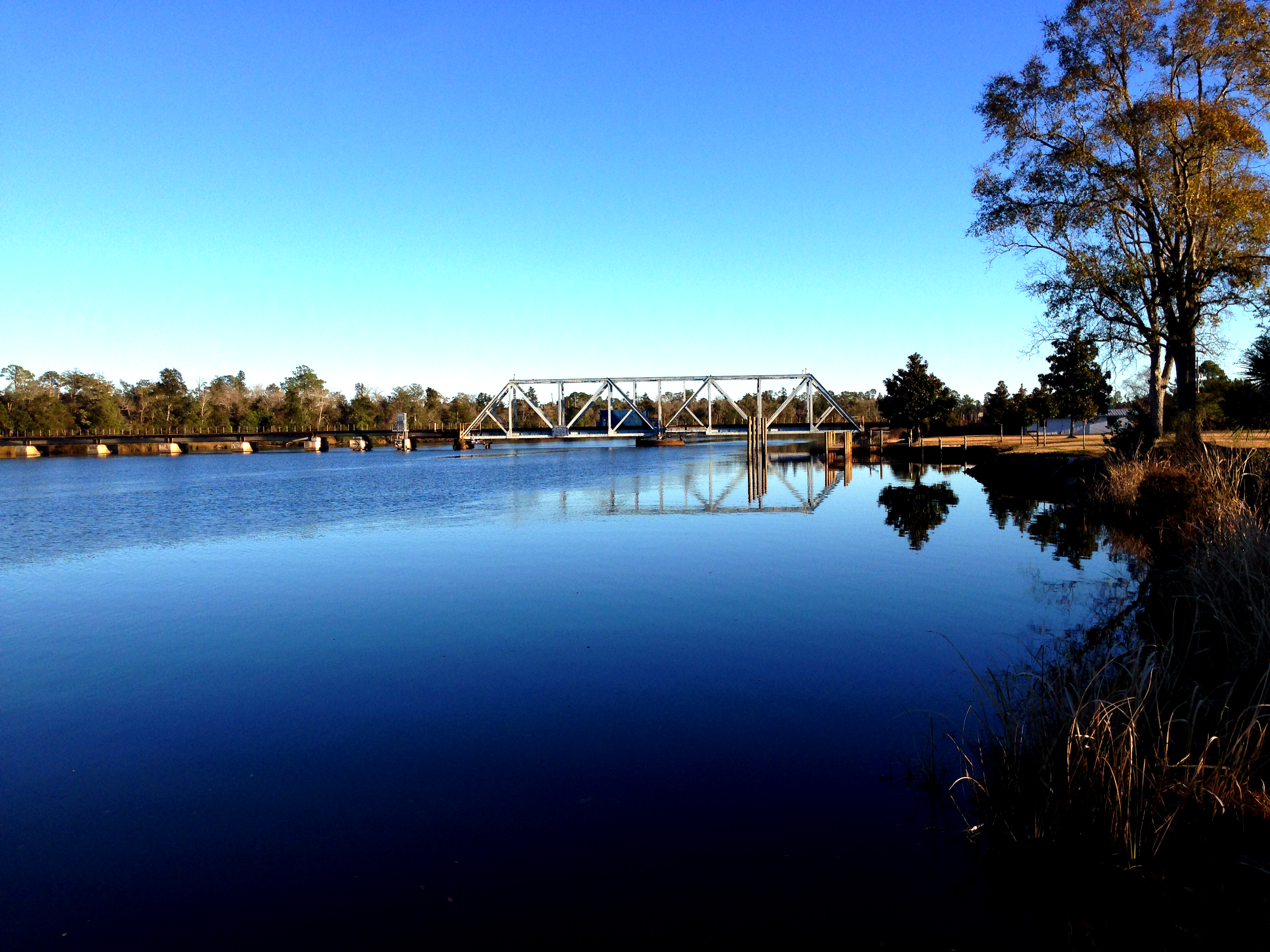
Blackwater River Rail Bridge

TH-57 Sea Ranger's
Topographic Map of Beneva Rd, Milton, FL, USA
Find elevation by address:

Places near Beneva Rd, Milton, FL, USA:
8015 Majestic Cypress Dr
Putnam Road
5023 Bent Tree Rd
4448 Skylark Rd
Old Oak Road
5554 Riviera Dr
Bent Tree Road
7872 Old Hickory Hammock Rd
7400 Reformation Rd
Geiger Road
4748 Little Pelican Rd
4877 Carl Booker Rd
Ward Basin Road
8475 Fortune Rd
4800 Ward Basin Rd
7371 San Ramon Dr
8501 La Salle Dr
7114 Oak St
John Hamm Road
Gaineswood Drive
Recent Searches:
- Elevation of Corso Fratelli Cairoli, 35, Macerata MC, Italy
- Elevation of Tallevast Rd, Sarasota, FL, USA
- Elevation of 4th St E, Sonoma, CA, USA
- Elevation of Black Hollow Rd, Pennsdale, PA, USA
- Elevation of Oakland Ave, Williamsport, PA, USA
- Elevation of Pedrógão Grande, Portugal
- Elevation of Klee Dr, Martinsburg, WV, USA
- Elevation of Via Roma, Pieranica CR, Italy
- Elevation of Tavkvetili Mountain, Georgia
- Elevation of Hartfords Bluff Cir, Mt Pleasant, SC, USA