Elevation of Benara, SA, Australia
Location: Australia > South Australia >
Longitude: 140.454481
Latitude: -37.817399
Elevation: 19m / 62feet
Barometric Pressure: 101KPa
Elevation Map:
Satellite Map:
Related Photos:
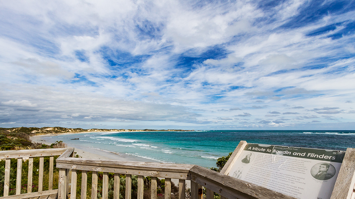
Cape Banks lookout
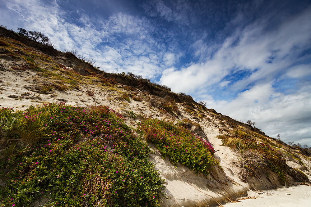
Into the dunes
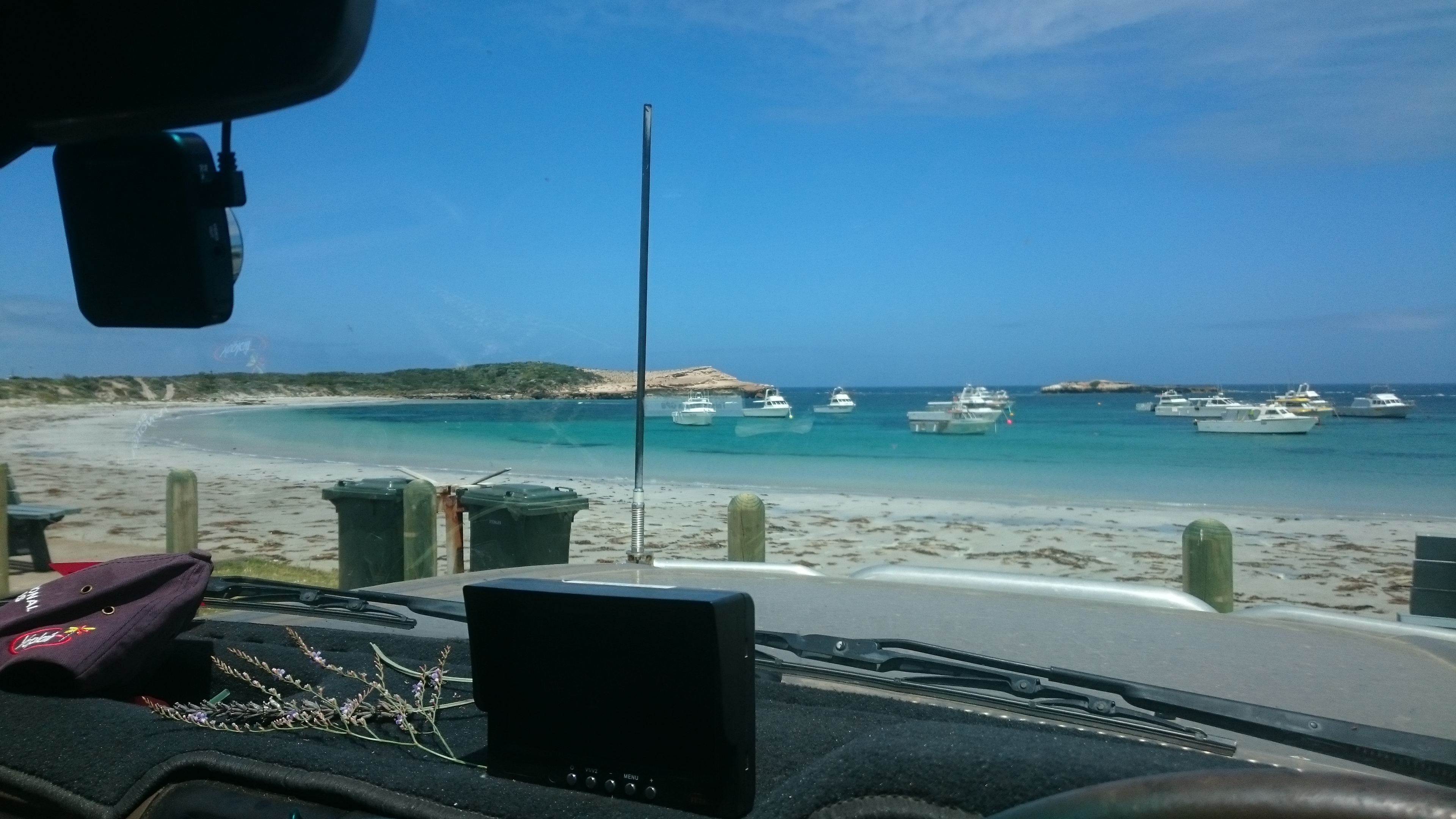
View fm our picnic table
Slick II
Canunda, SA
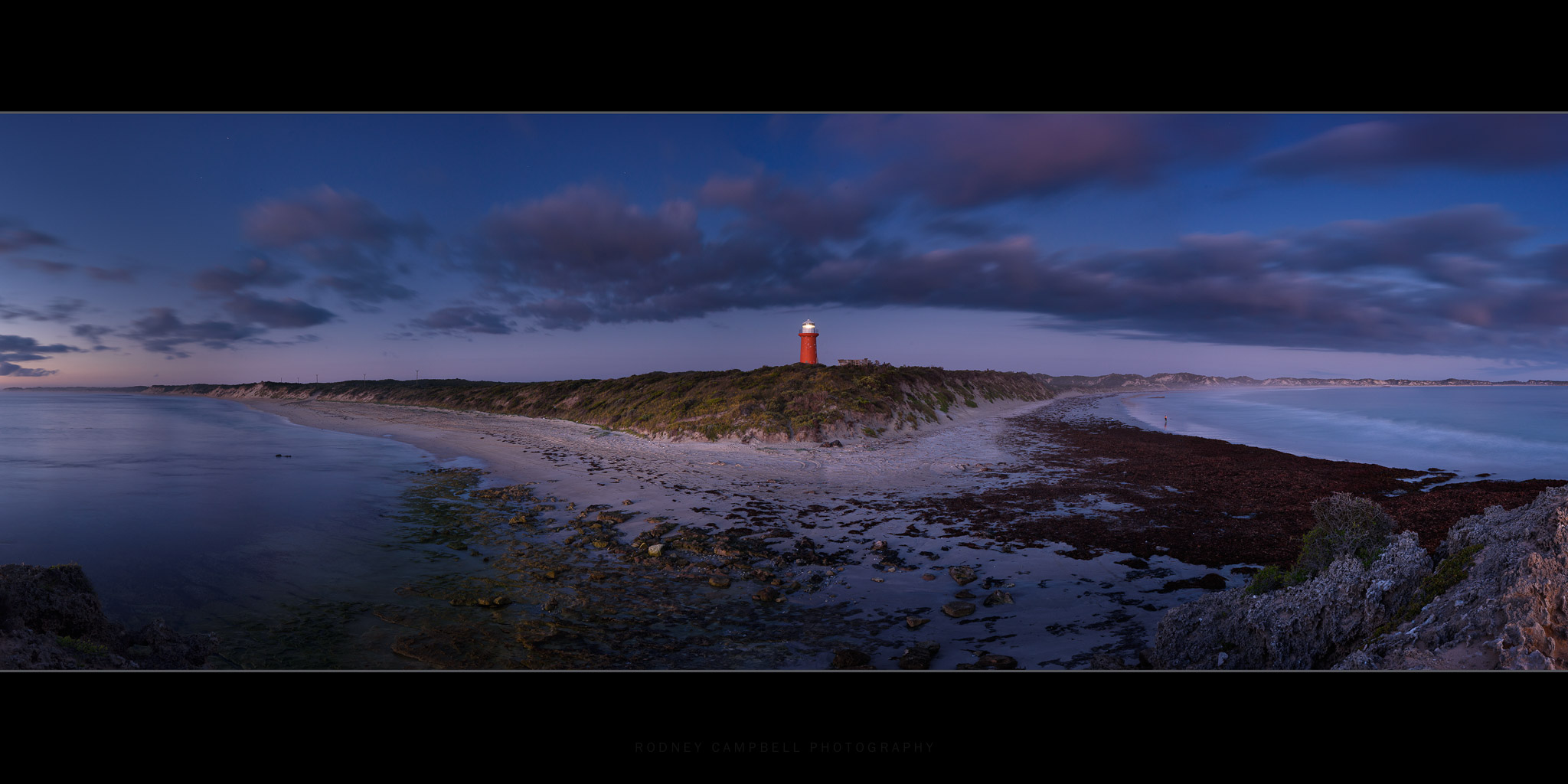
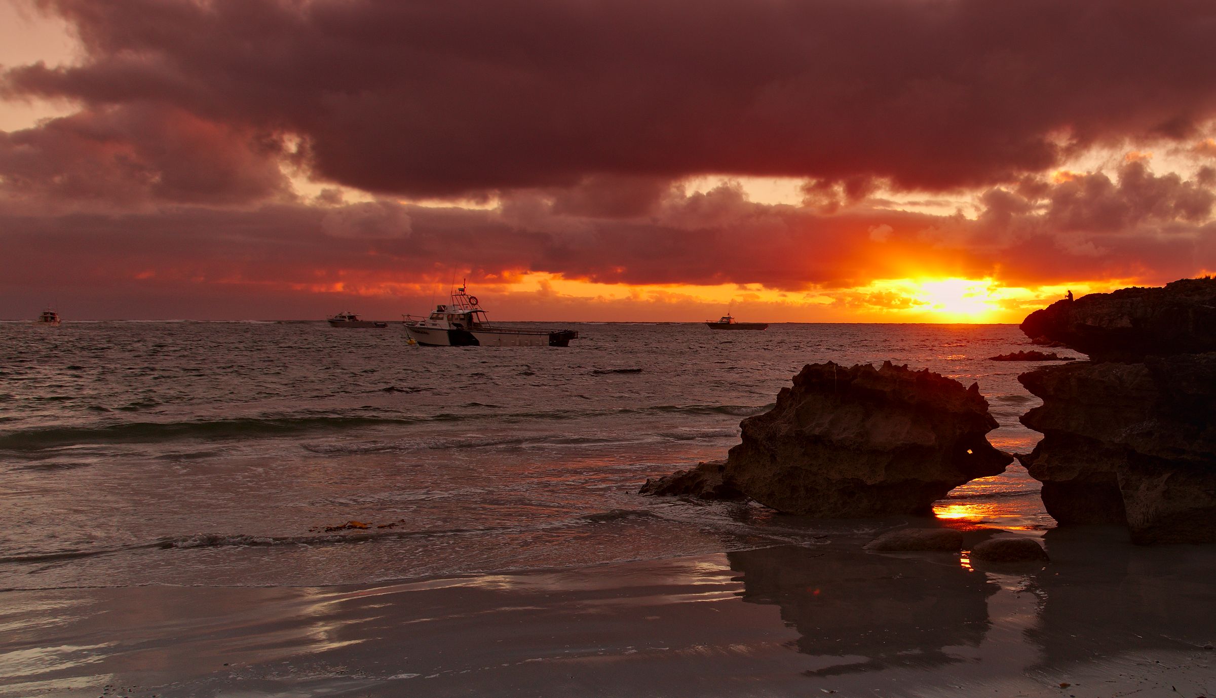
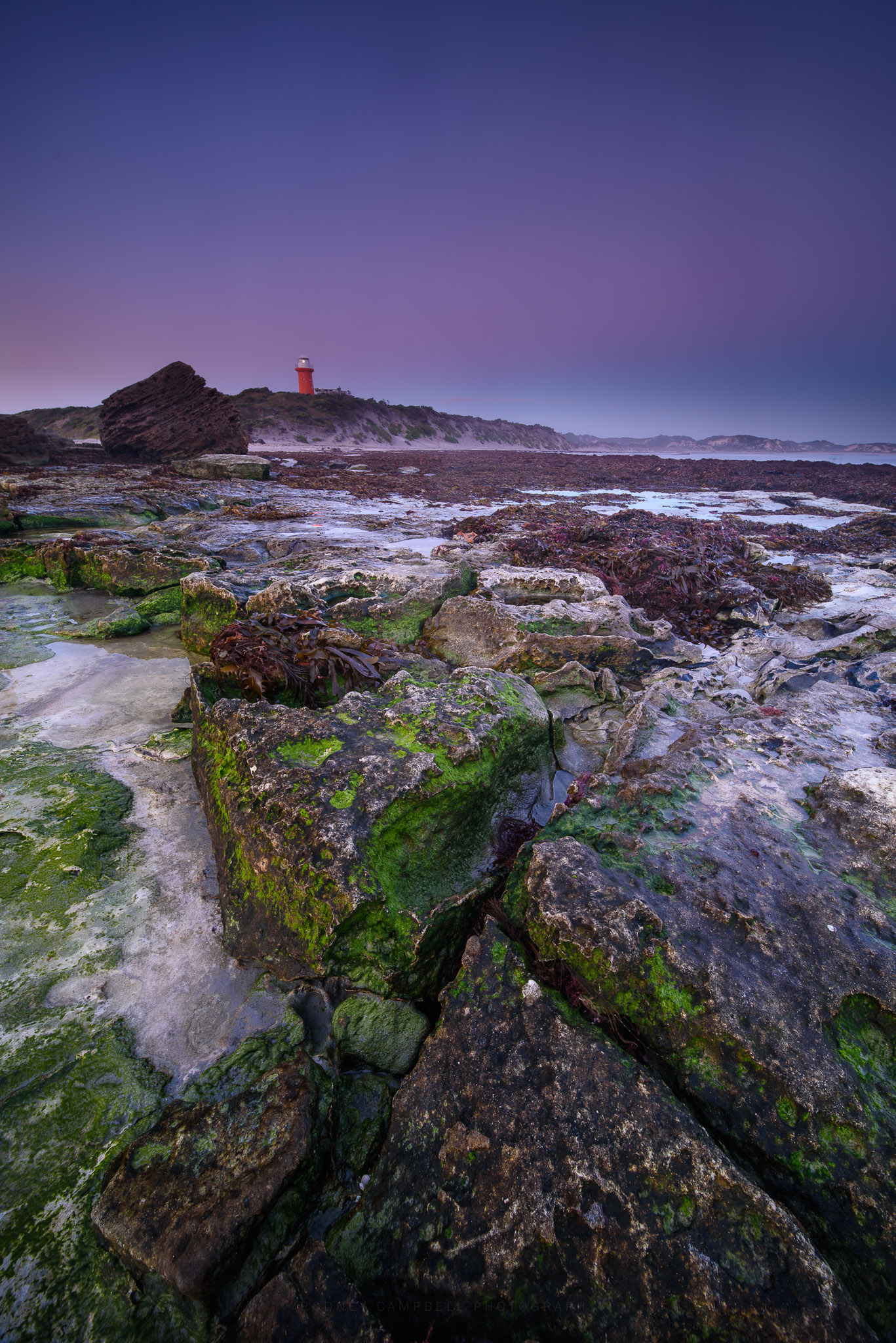
The Lighthouse
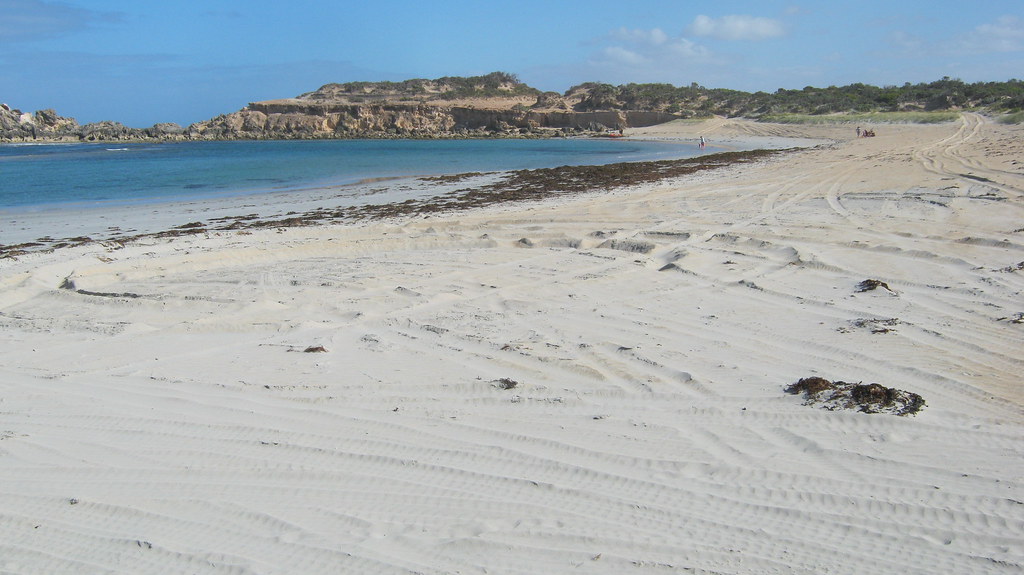
Lighthouse Bay Beach
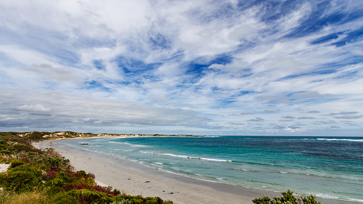
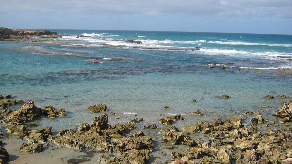
Lighthouse Bay
Softly Reprise
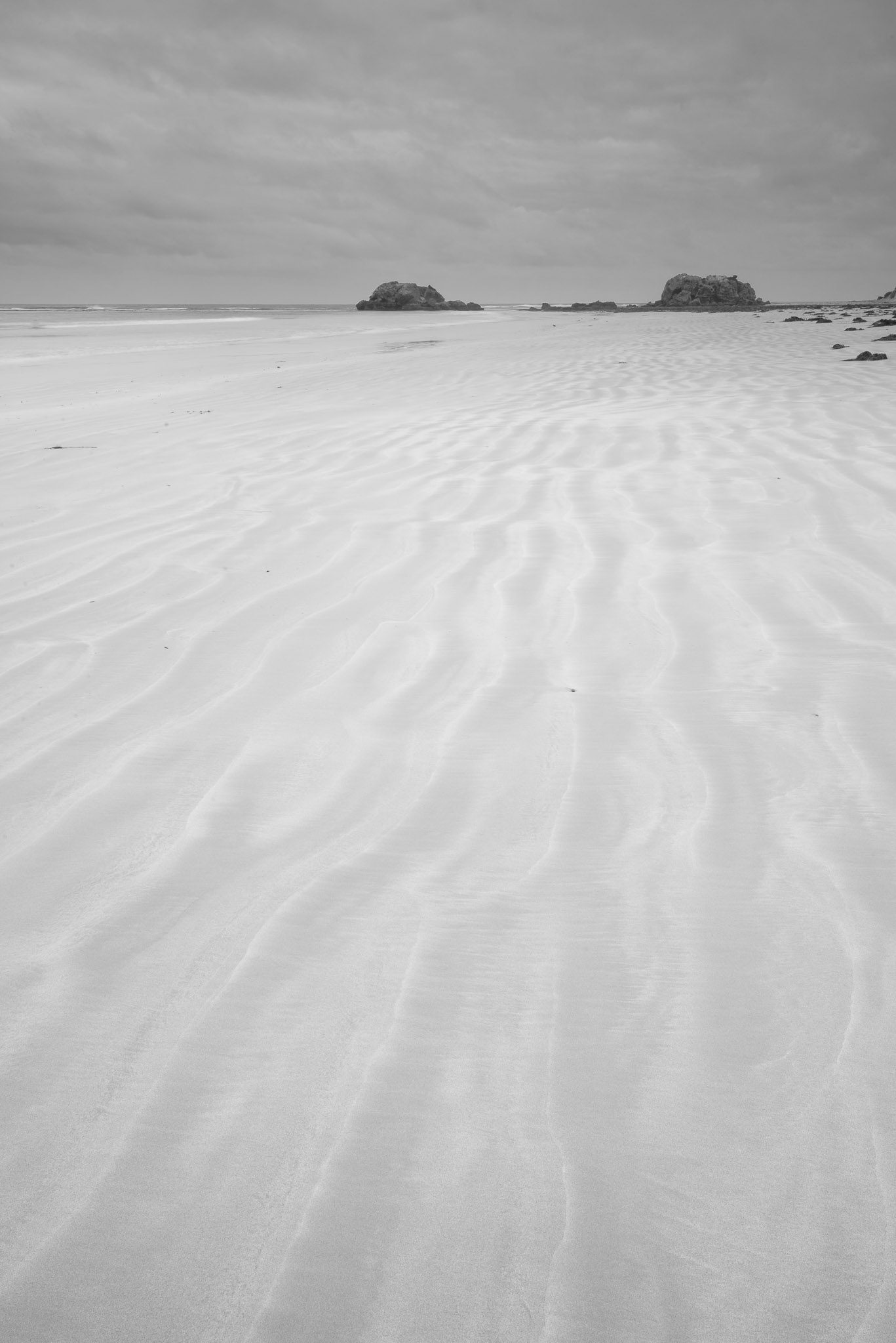
Monochromatic Wash
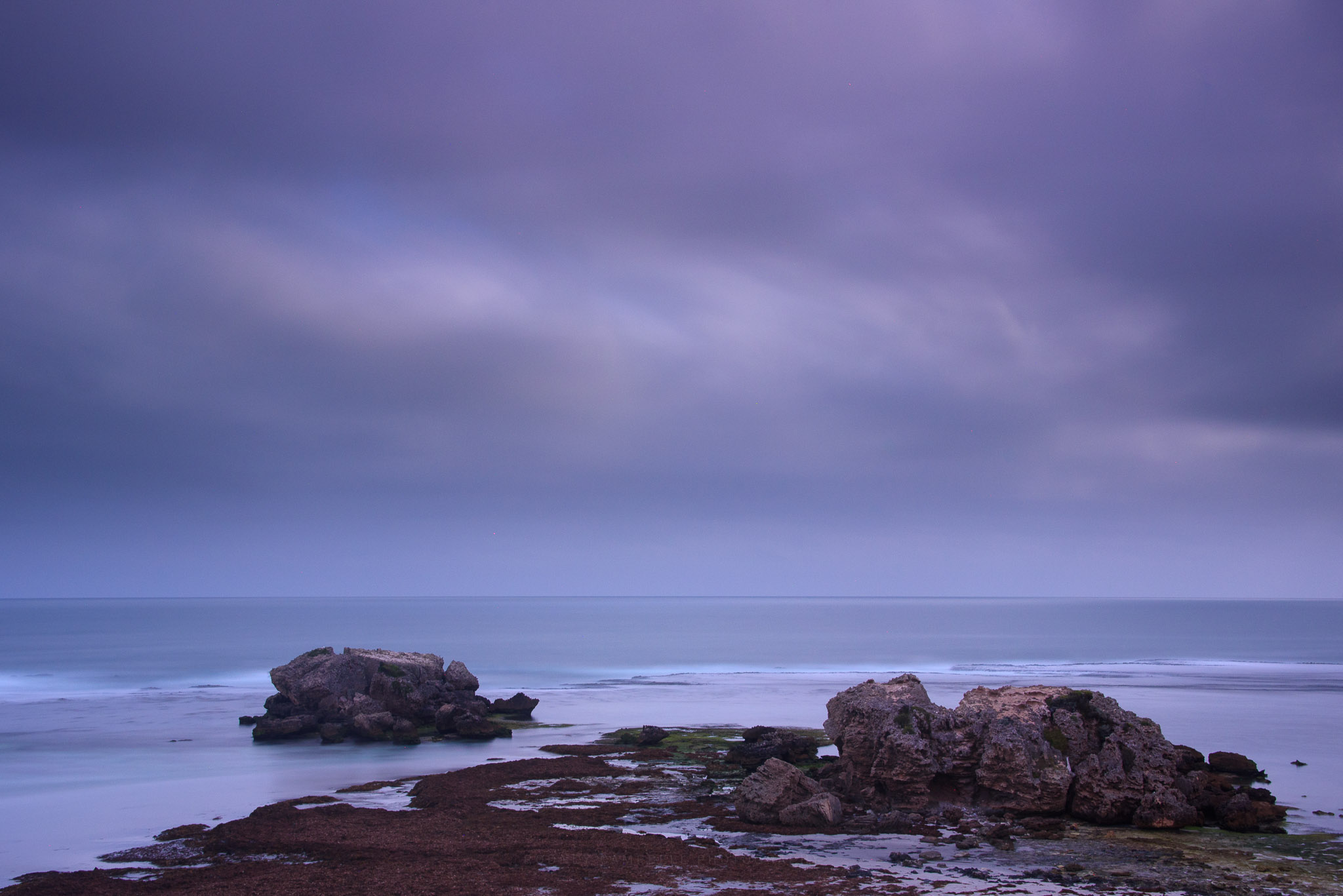
Canunda, SA
Blackfellows Caves
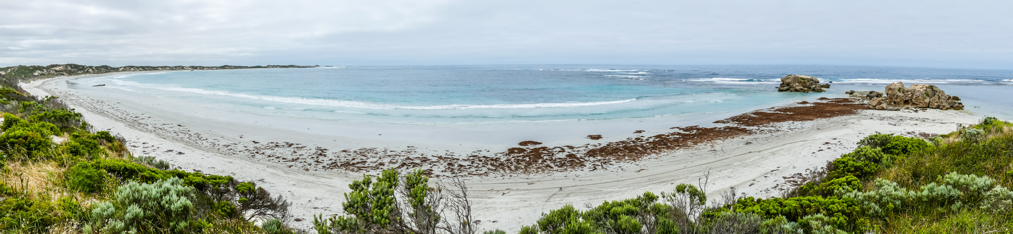
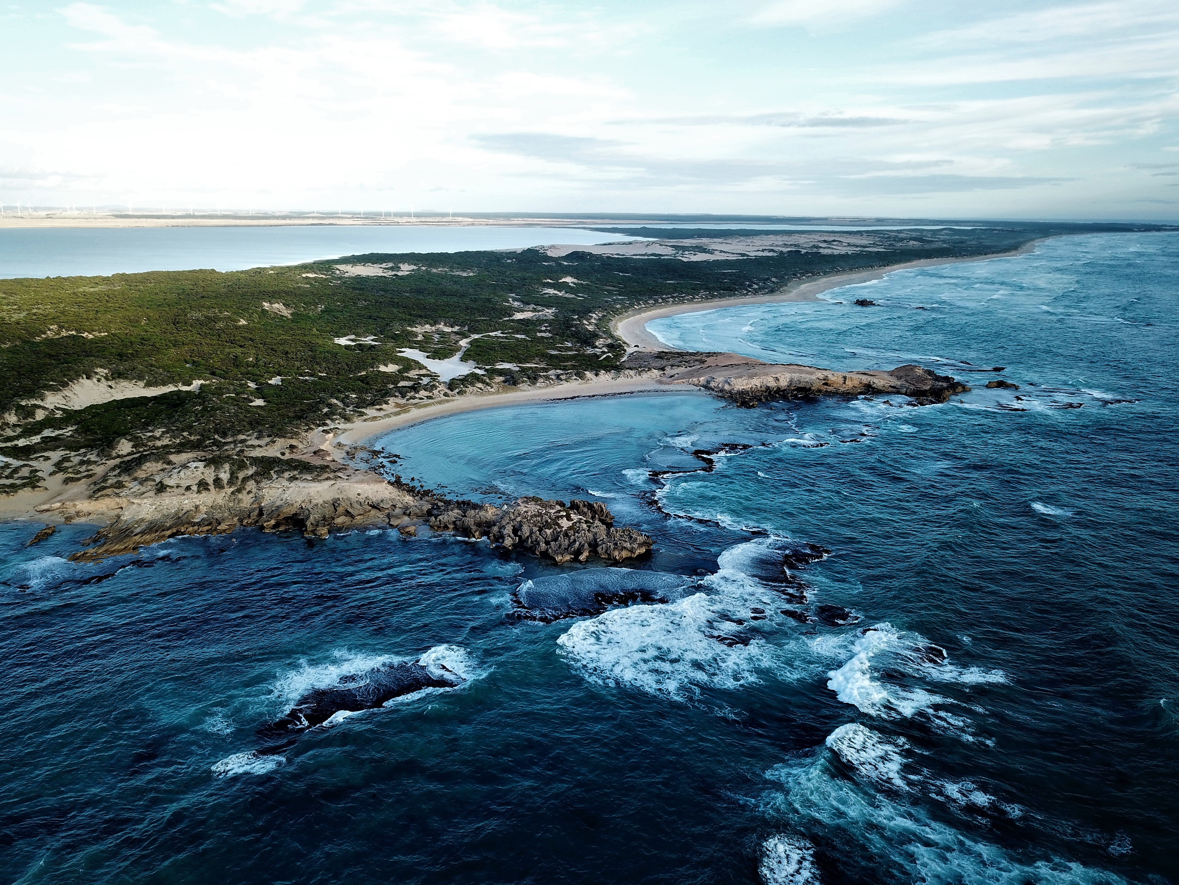
Cape Banks Panorama
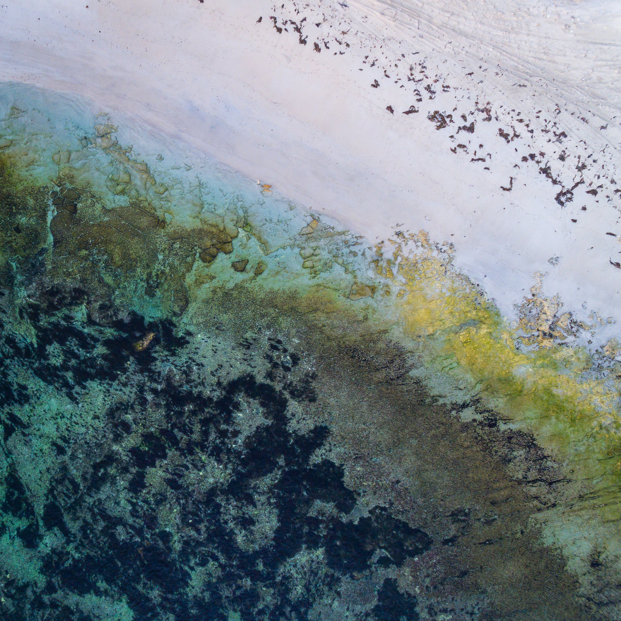
Crossing Dimension
Number Two Rocks
Number Two Rocks
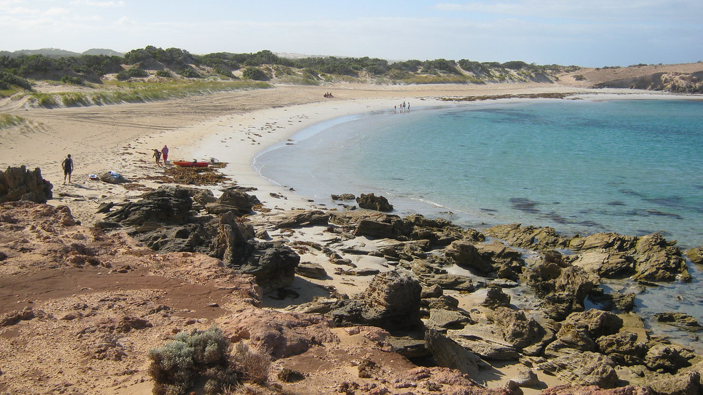
Number Two Rocks
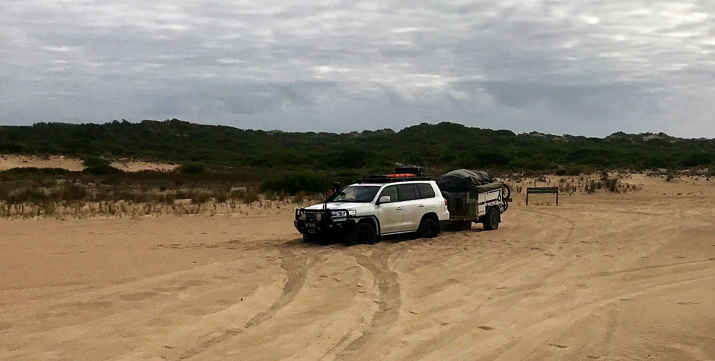
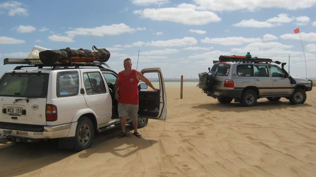
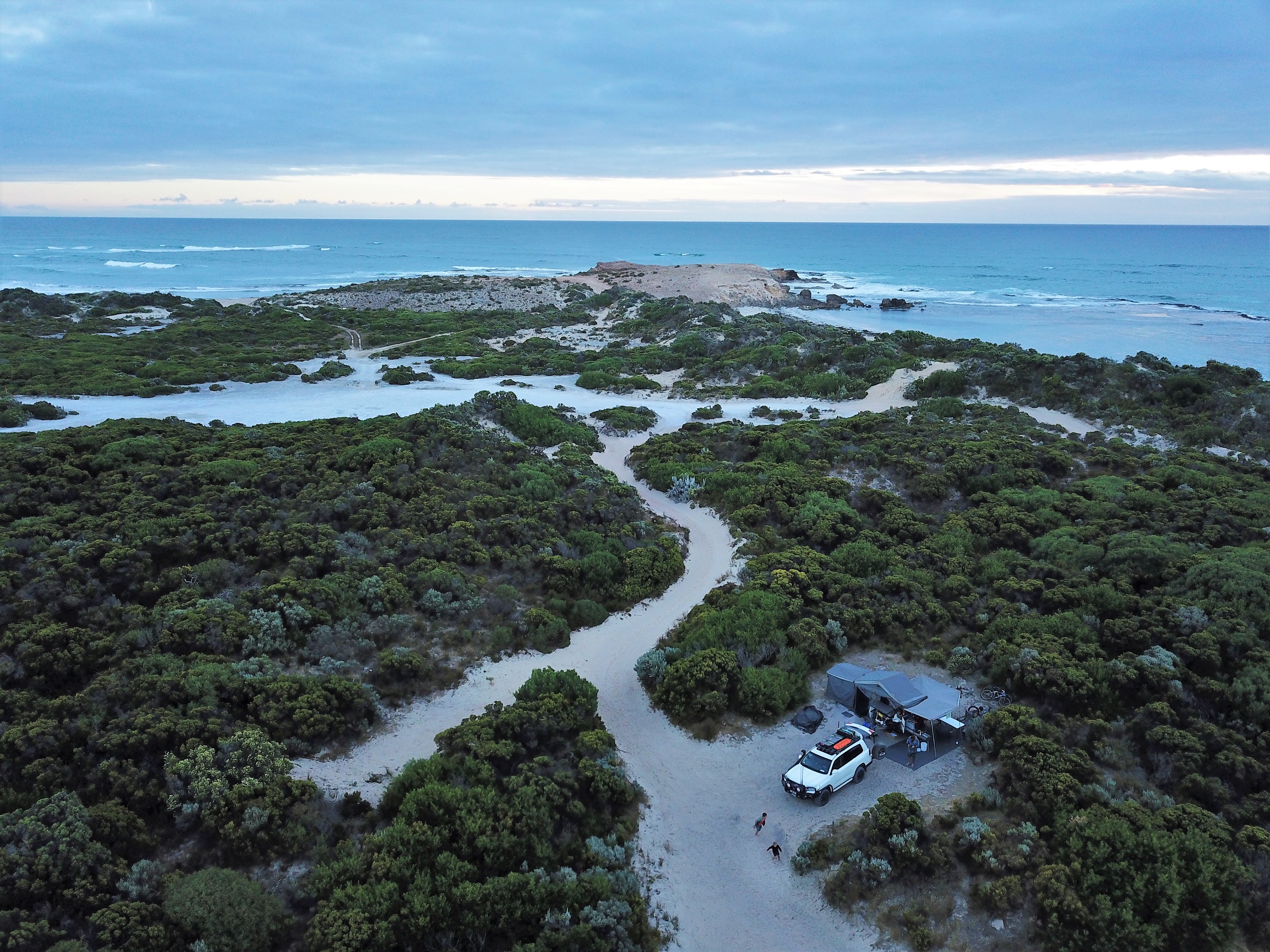
Happily bogged far from the ocean

Cape Banks
Topographic Map of Benara, SA, Australia
Find elevation by address:

Places near Benara, SA, Australia:
Recent Searches:
- Elevation of Corso Fratelli Cairoli, 35, Macerata MC, Italy
- Elevation of Tallevast Rd, Sarasota, FL, USA
- Elevation of 4th St E, Sonoma, CA, USA
- Elevation of Black Hollow Rd, Pennsdale, PA, USA
- Elevation of Oakland Ave, Williamsport, PA, USA
- Elevation of Pedrógão Grande, Portugal
- Elevation of Klee Dr, Martinsburg, WV, USA
- Elevation of Via Roma, Pieranica CR, Italy
- Elevation of Tavkvetili Mountain, Georgia
- Elevation of Hartfords Bluff Cir, Mt Pleasant, SC, USA