Elevation of Belvidere, NJ, USA
Location: United States > New Jersey > Warren County >
Longitude: -75.077674
Latitude: 40.82982
Elevation: 81m / 266feet
Barometric Pressure: 100KPa
Elevation Map:
Satellite Map:
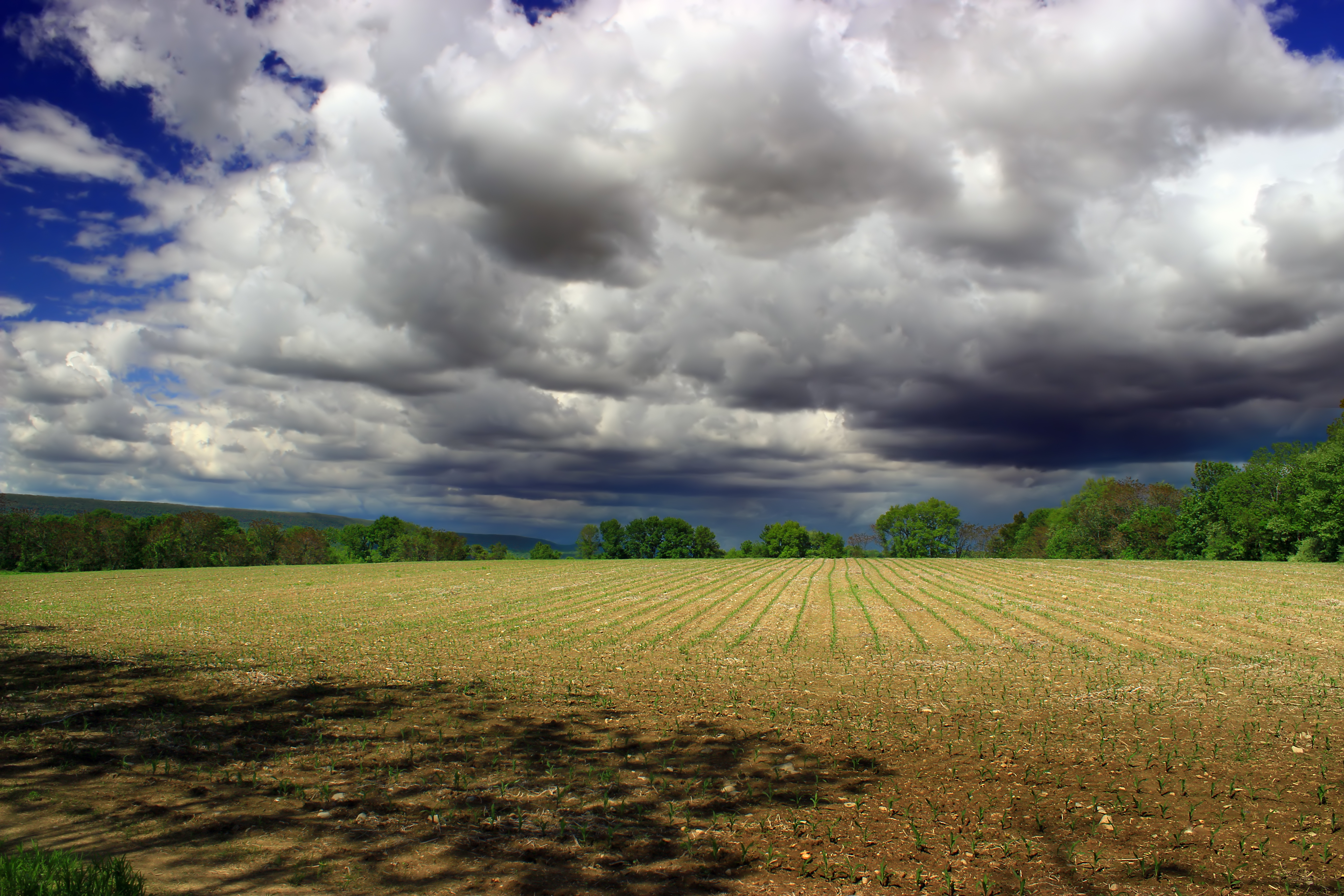
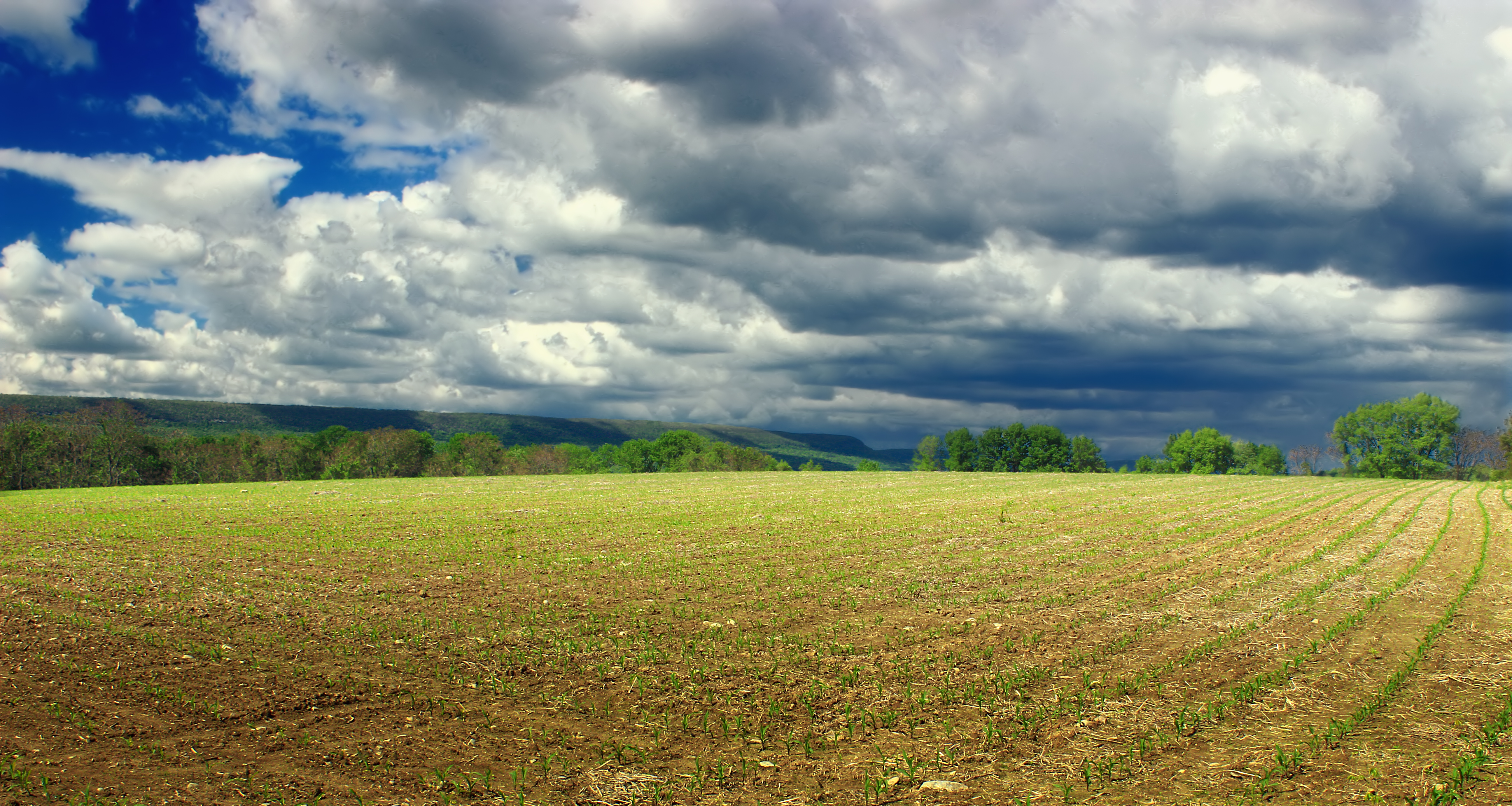
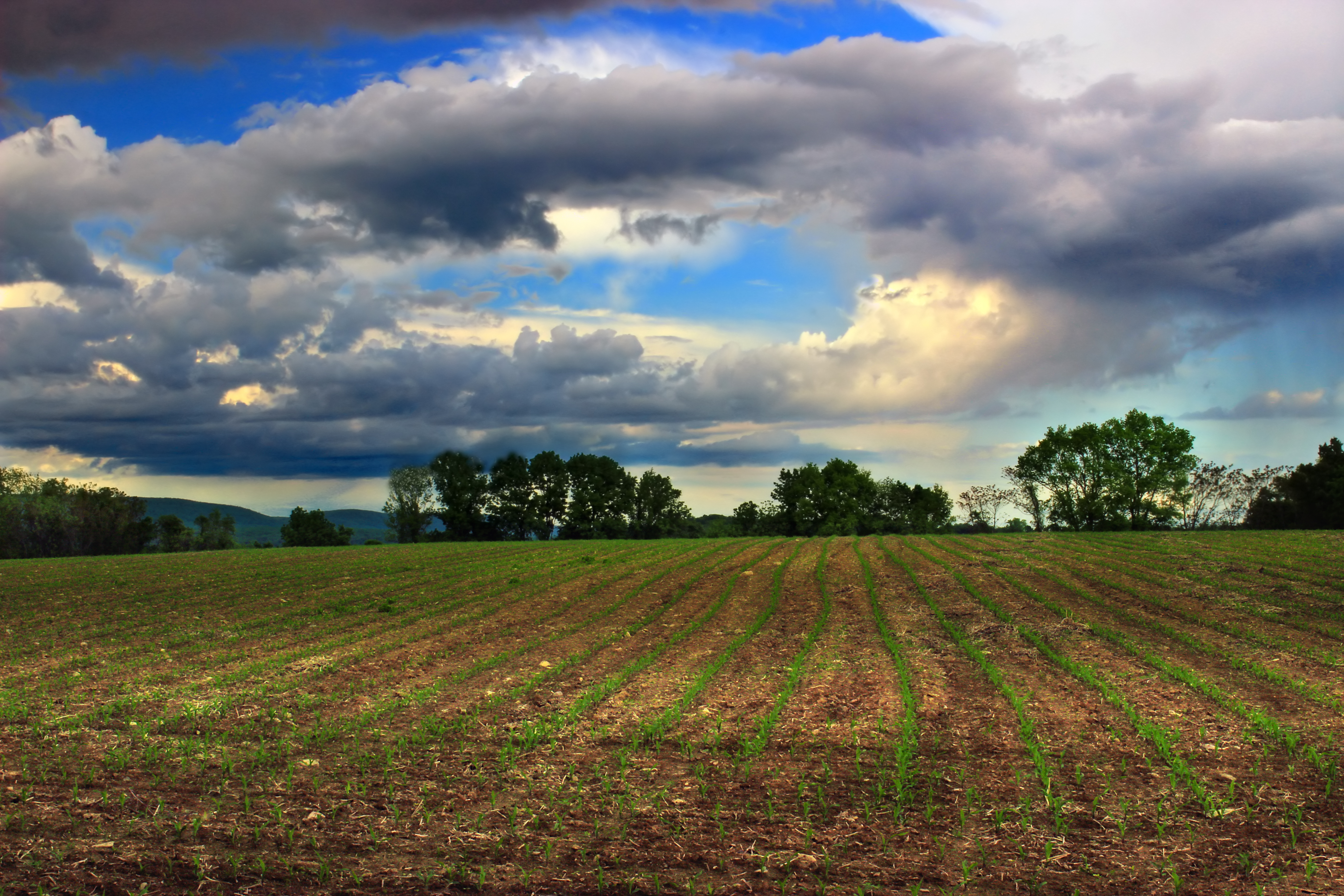
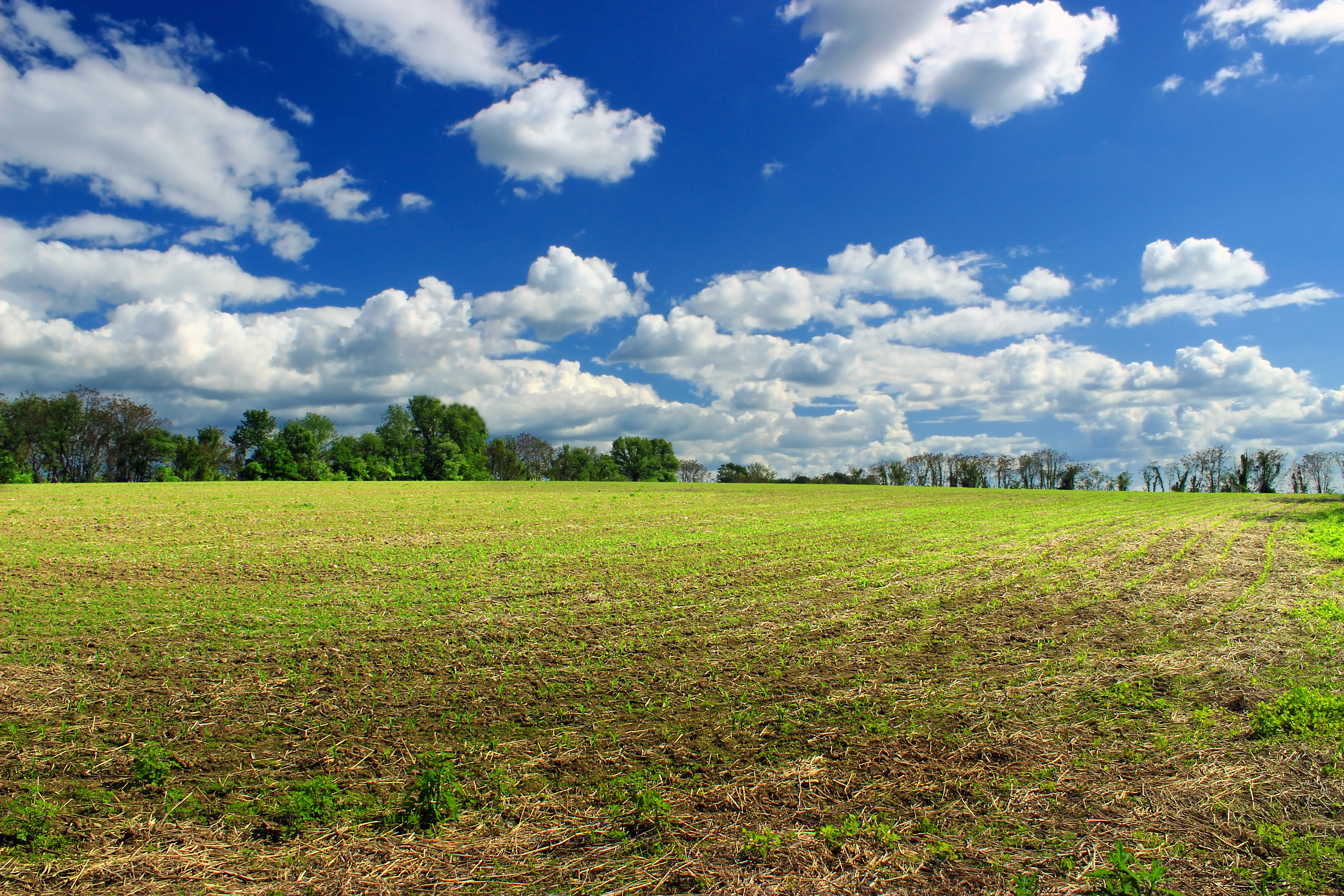
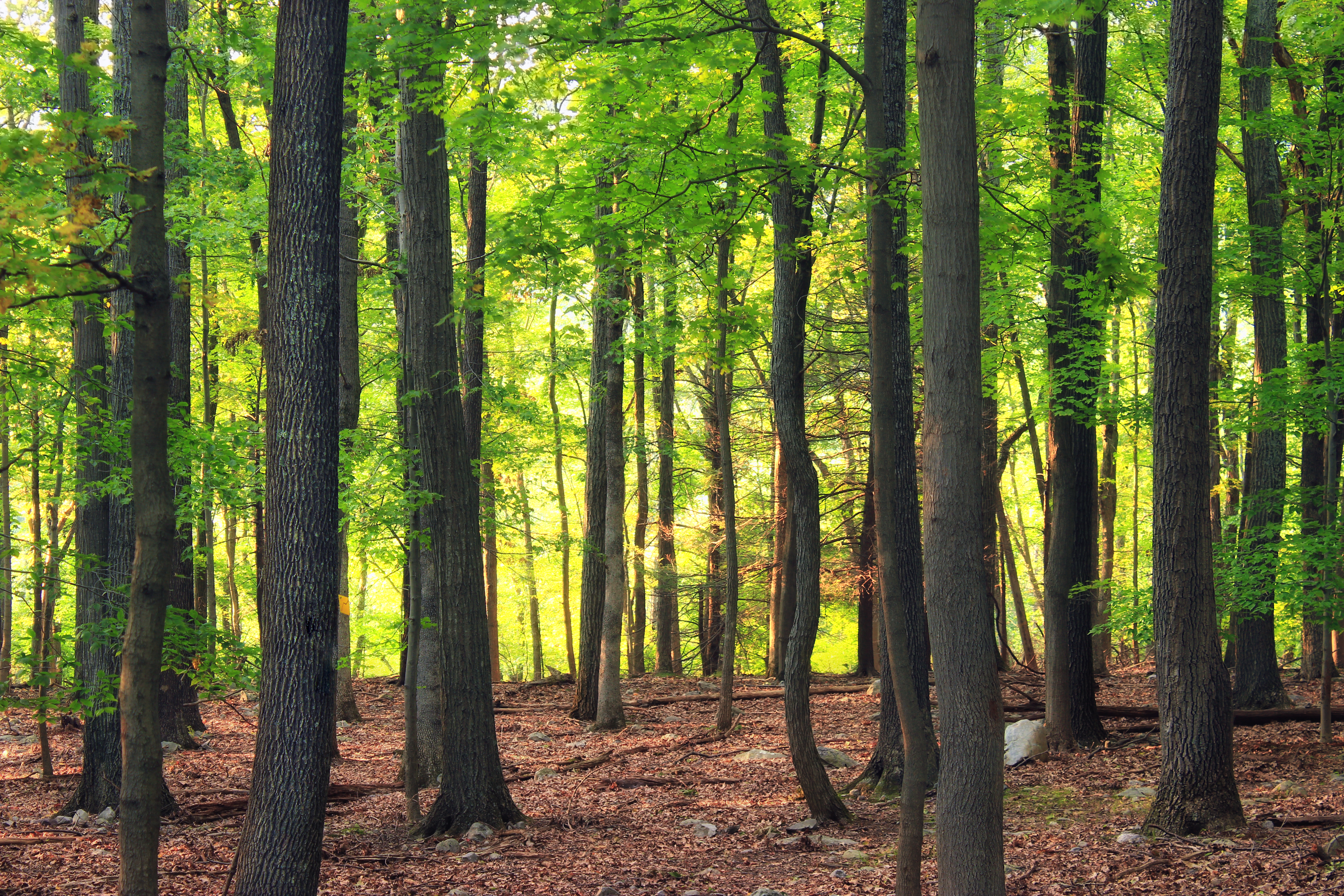
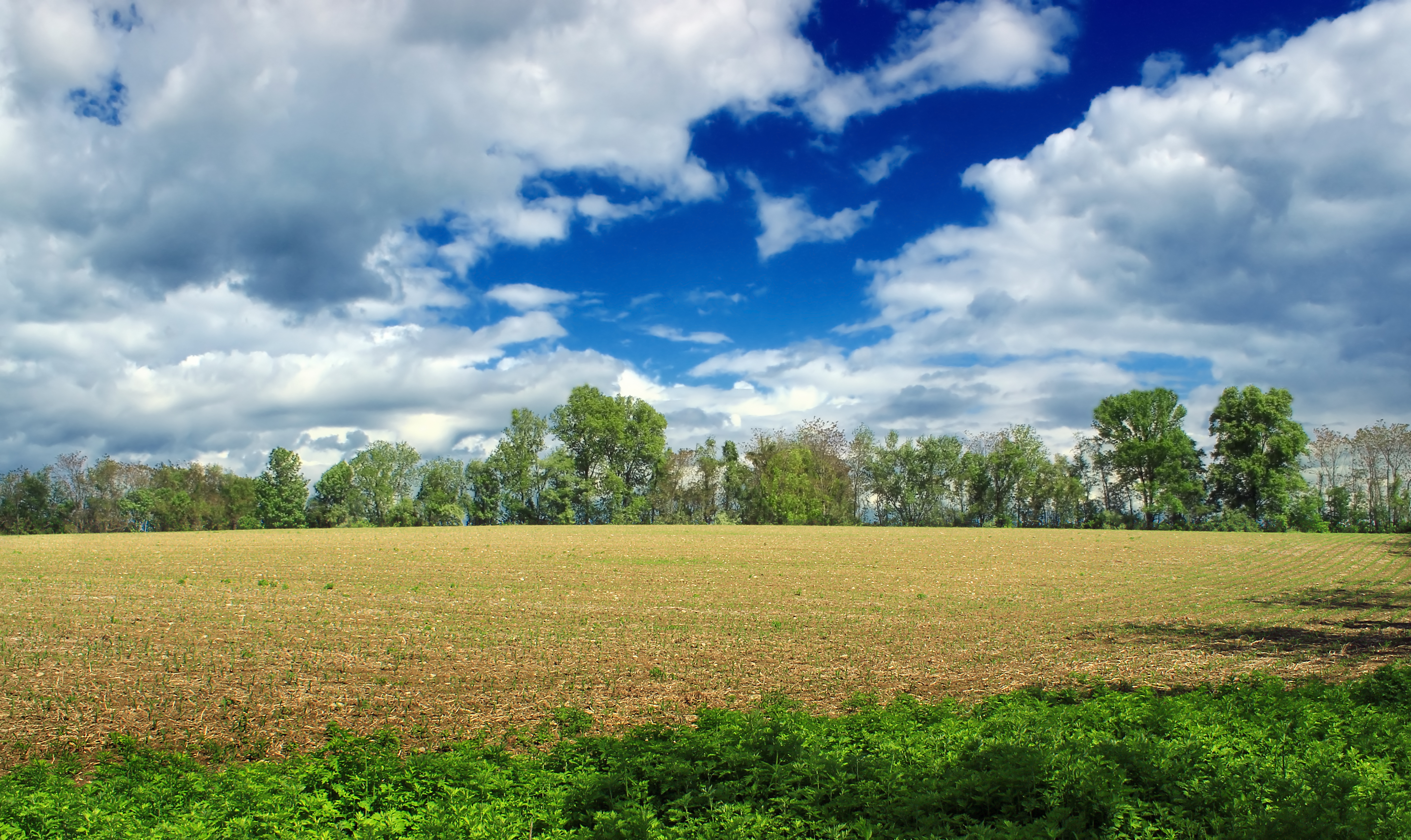
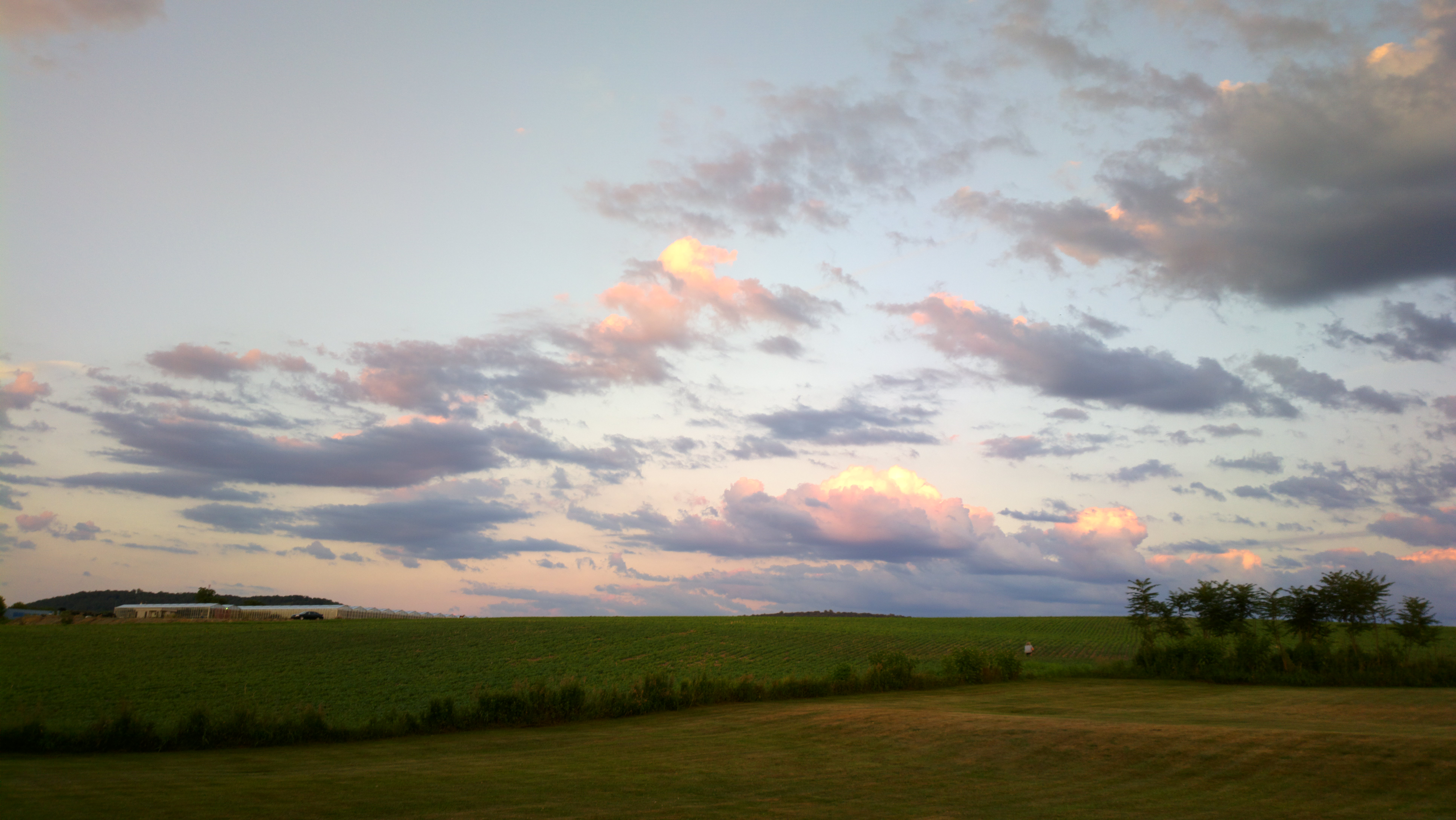
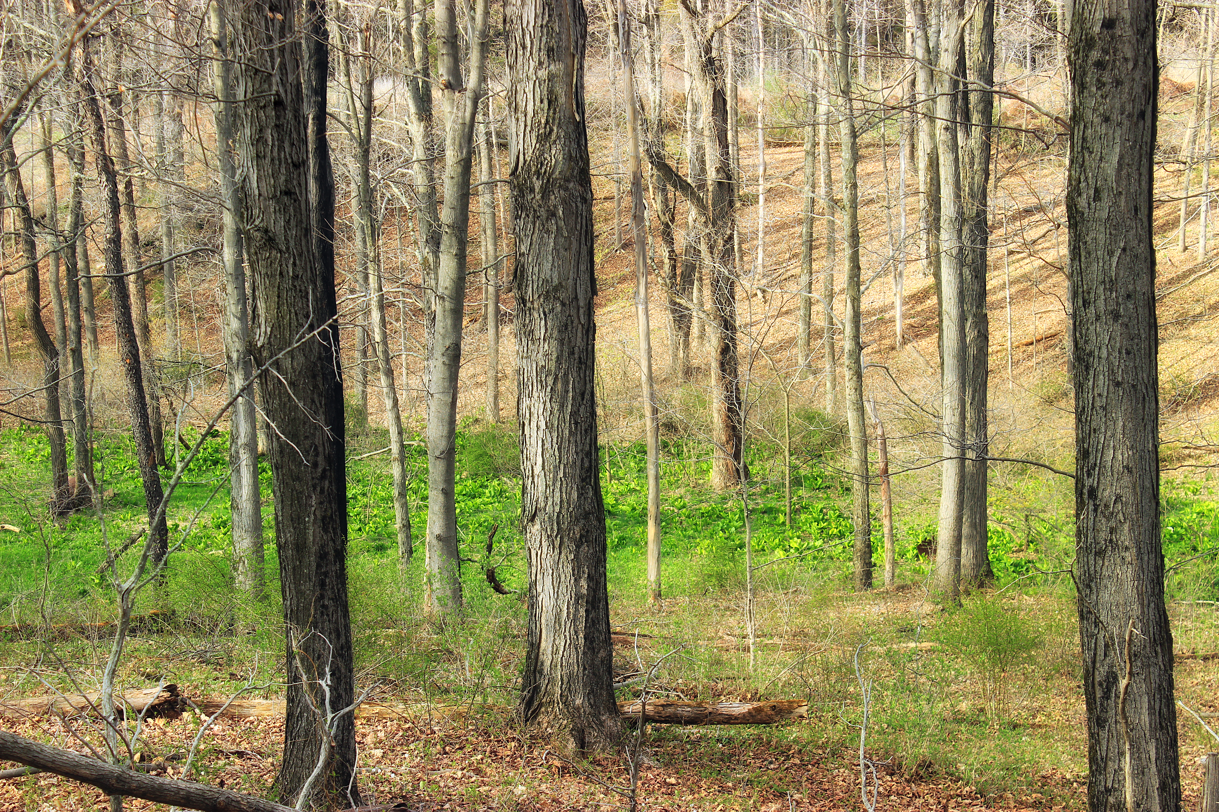
Related Photos:
In the moment
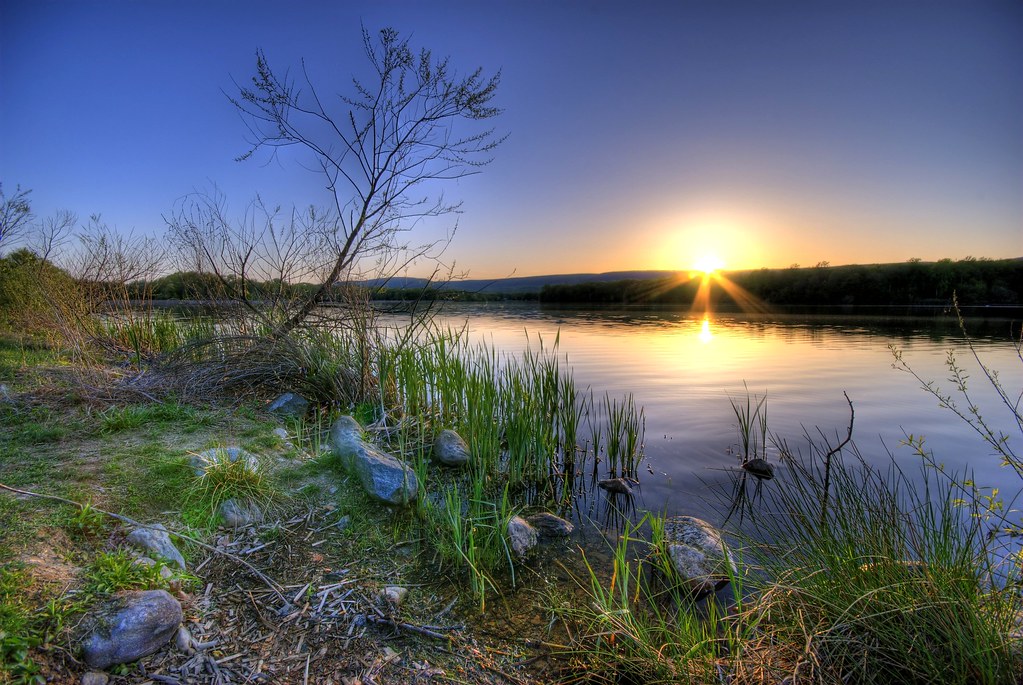
Last Rays
Time moves on

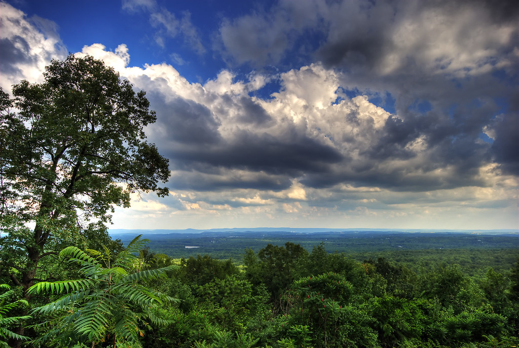
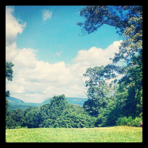
View of the nature

Poured Concrete
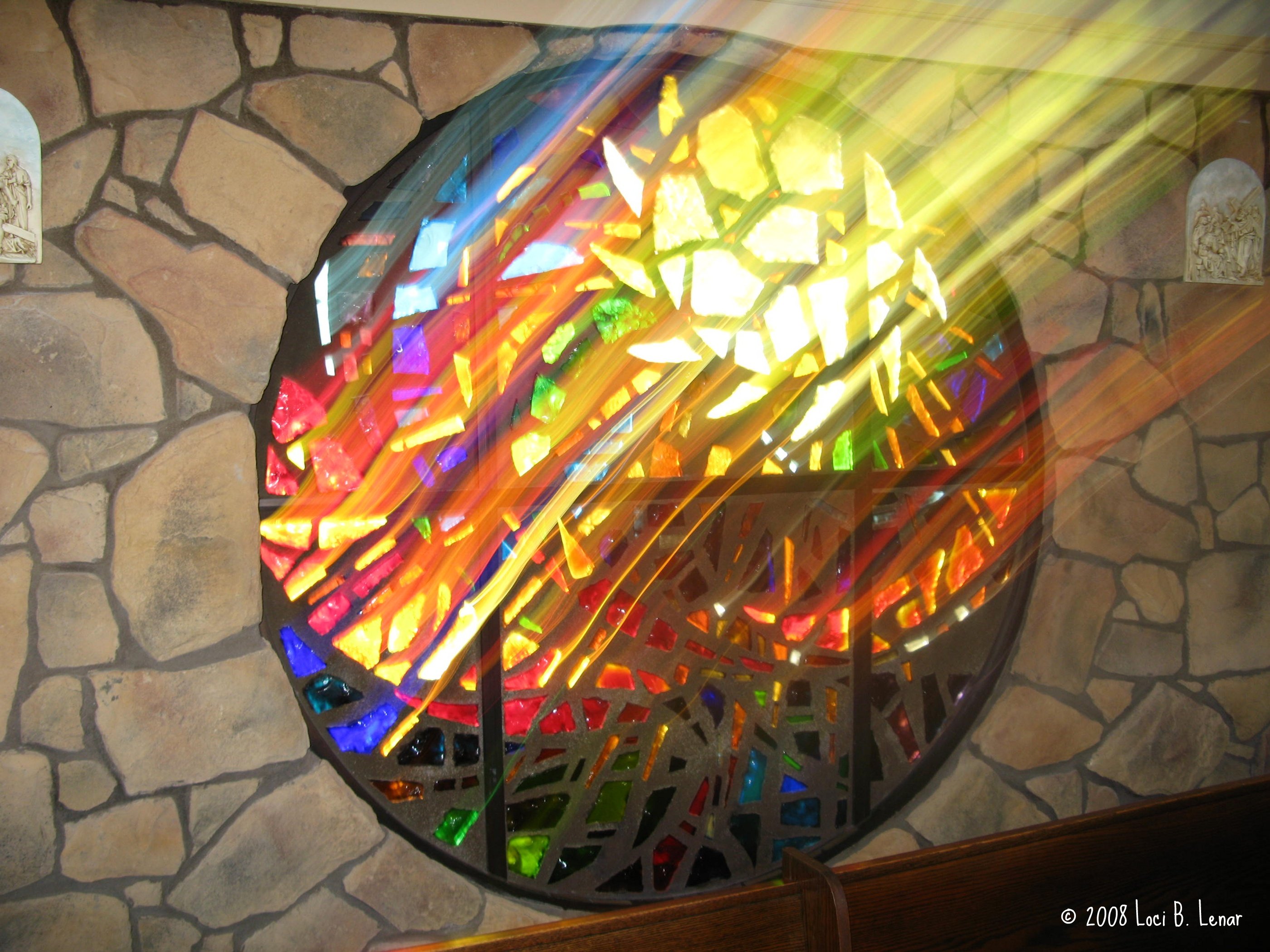
Miracle of the Sun: Rays of God's Light

Sunsetting the gap

I tell you I'm lost here, awaiting reply
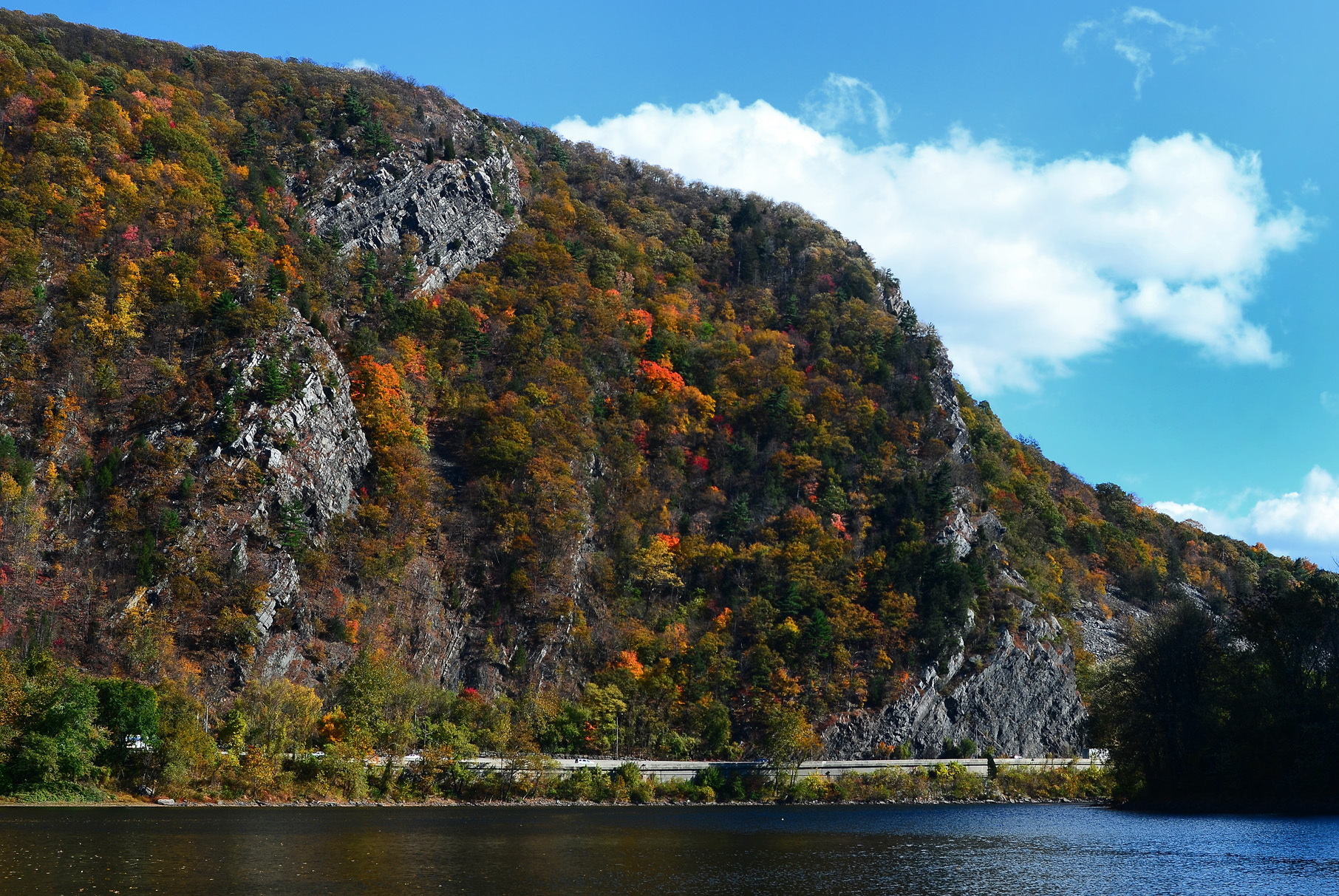
Delaware Water Gap - 6 February 2016

The Blue Army Road + Haiku
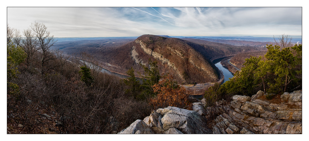
Mount Tammany
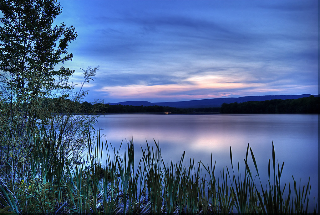
Blue Serenity

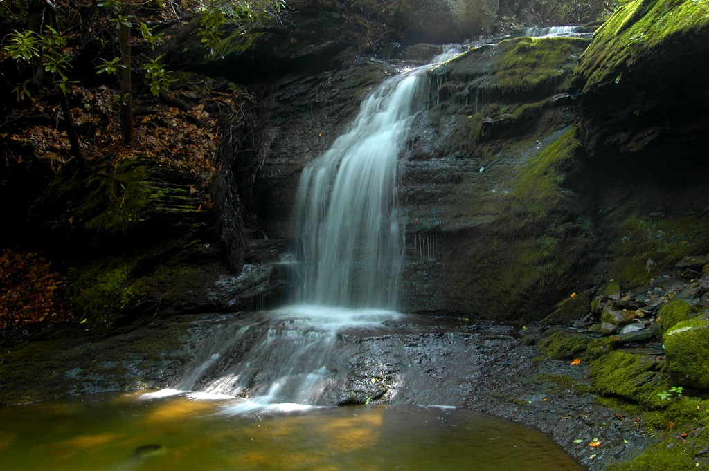
Slateford Farm Falls 3rd_angle
Mt. Tammany
Columbia Wildlife Management Area (Revisit) (4)

Snowy Owl
Columbia Wildlife Management Area (Revisit) (1)

BTS: Waiting for the family
Columbia Wildlife Management Area (Revisit) (3)
Columbia Wildlife Management Area (Revisit) (5)
I have the best brother in the whole wide world! Shot on location in northern New Jersey at a small country fair. I love photographing small country fairs.just slow down to a shuffle Pace and wait for those little gems to come into view like the Image ab
All A Glow
Slateford Creek (Revisited) (5)
Delaware River Farm
Hemlock Ridge Preserve (Revisited) (2)
Columbia Wildlife Management Area (Revisit) (6)

Delaware Water Gap National Recreation Area - Arrow Island Overlook

East Fork Martins Creek (2)
Clouds 8
Honey Run Wildlife Management Area (Revisited) (8)
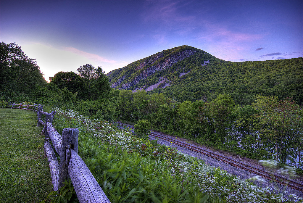
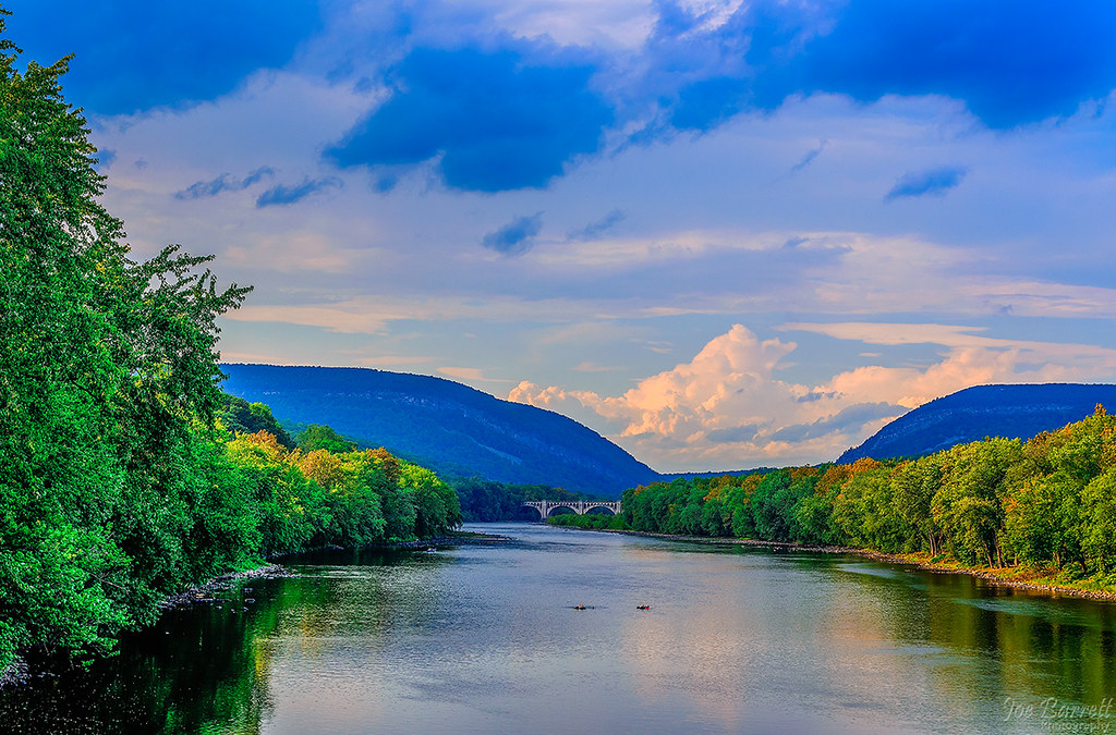
Delaware Water Gap
Slateford Farm Falls ~ Explored ~
Topographic Map of Belvidere, NJ, USA
Find elevation by address:

Places in Belvidere, NJ, USA:
Places near Belvidere, NJ, USA:
235 Water St
84 Front St
308 Market St
347 Delaware Ave
347 Delaware Ave
Depue Street
7 Afton Way
313 Frutchey Ct
159 Frutchey Ct
140 Windtryst Way
9502 Gravel Hill Rd
White
10 Gaston Pl, Belvidere, NJ, USA
2250 River Rd
83 Lommason Glen Rd
US-46, Columbia, NJ, USA
Sarepta Rd, Belvidere, NJ, USA
Buckhorn Dr, Belvidere, NJ, USA
607 County Rd 623
607 County Rd 623
Recent Searches:
- Elevation of Corso Fratelli Cairoli, 35, Macerata MC, Italy
- Elevation of Tallevast Rd, Sarasota, FL, USA
- Elevation of 4th St E, Sonoma, CA, USA
- Elevation of Black Hollow Rd, Pennsdale, PA, USA
- Elevation of Oakland Ave, Williamsport, PA, USA
- Elevation of Pedrógão Grande, Portugal
- Elevation of Klee Dr, Martinsburg, WV, USA
- Elevation of Via Roma, Pieranica CR, Italy
- Elevation of Tavkvetili Mountain, Georgia
- Elevation of Hartfords Bluff Cir, Mt Pleasant, SC, USA