Elevation of Belmont Drive, Belmont Dr, Fountain Inn, SC, USA
Location: United States > South Carolina > Greenville County > Fountain Inn >
Longitude: -82.203584
Latitude: 34.7070846
Elevation: 245m / 804feet
Barometric Pressure: 98KPa
Elevation Map:
Satellite Map:
Related Photos:

The end of the path...

Carolina Fashions, Inc
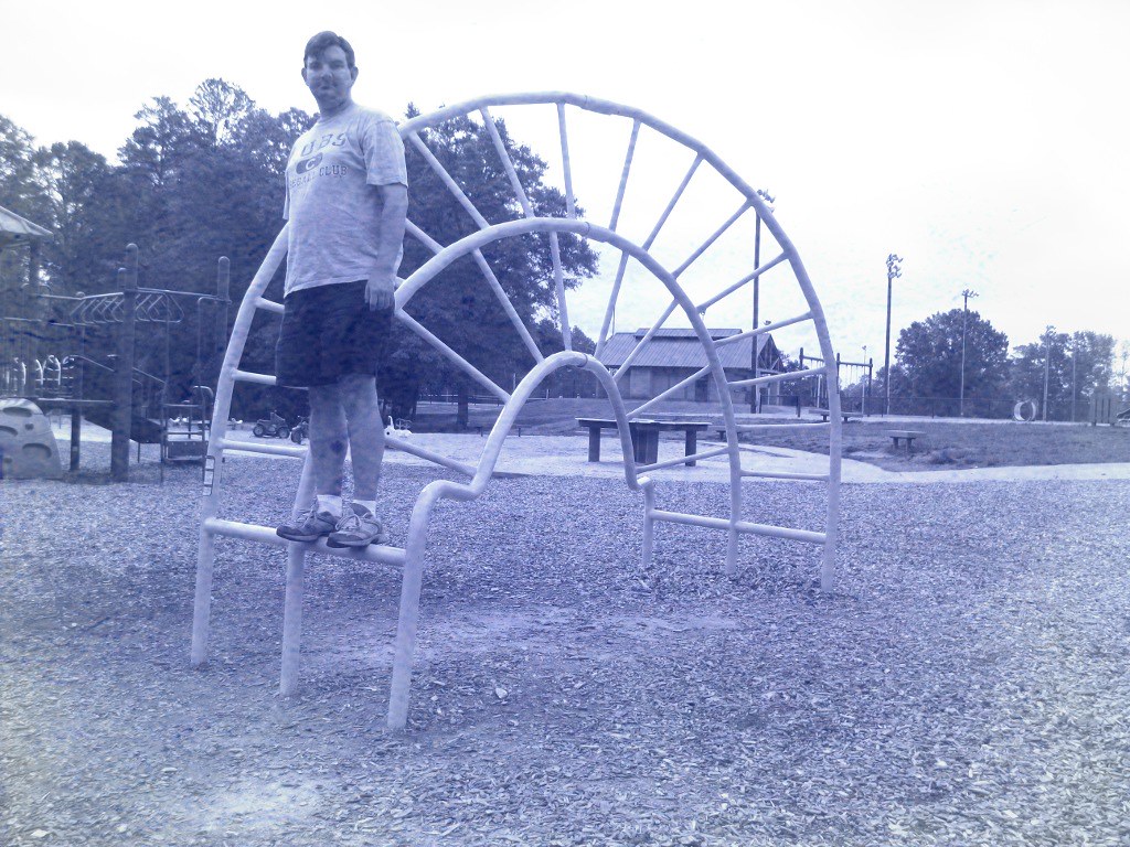
Bench Monday: Hemisphere Jungle Gym Edition

Peace Car

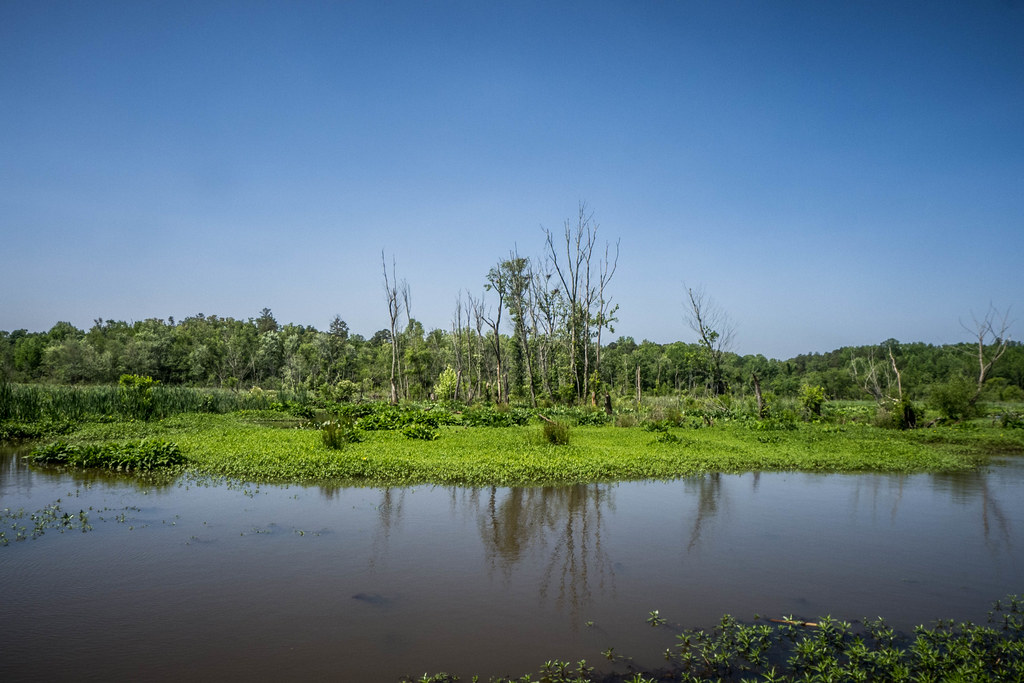
A Country View

Backyard Visitor

Gel Grips 2

Summer is on its way

View from shoulders

79/100 Songs of Summer ♫ Rainy days and Mondays always get me down

Owings Depot Door

Owings Depot in Blue

Owings Depot Window

View below shoals at Cedar Falls Park

Signs of Spring

Memories of The Strip

Jane Magnolia Blossom

Whole Foods
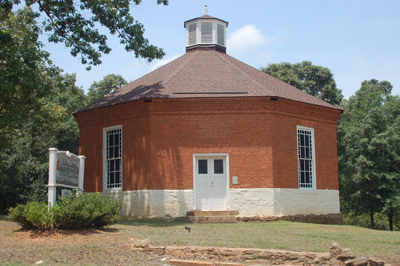
mcbee chapel 4

mcbee chapel 3

Owings Community Club

Christmas Suburbs Sunset

Bar Harbor, watercolor

Pierre Lapin
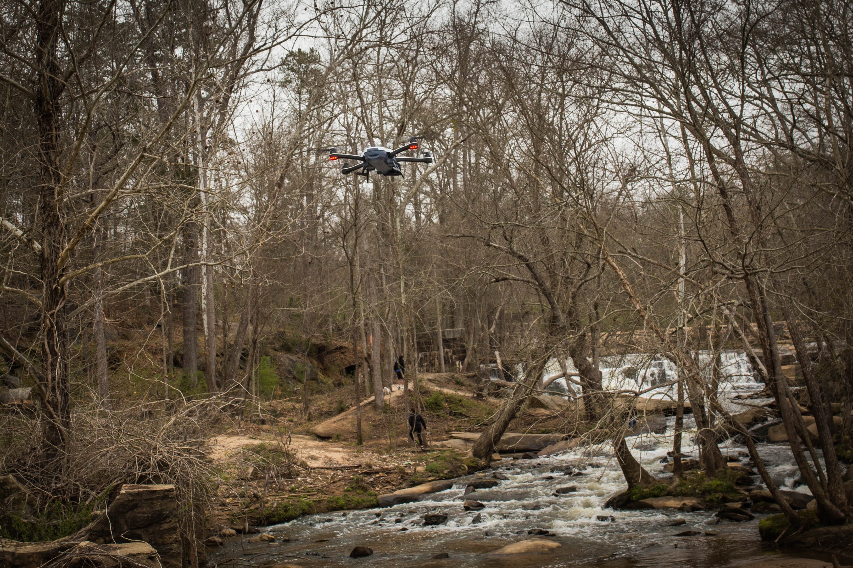
Drone - Cedar Falls Park - Greenville S.C.

Cedar Falls Pool

somewhere out there...

Ah . . . You Go First

Lake Connestee paved trail

Monarch on Butterfly Bush

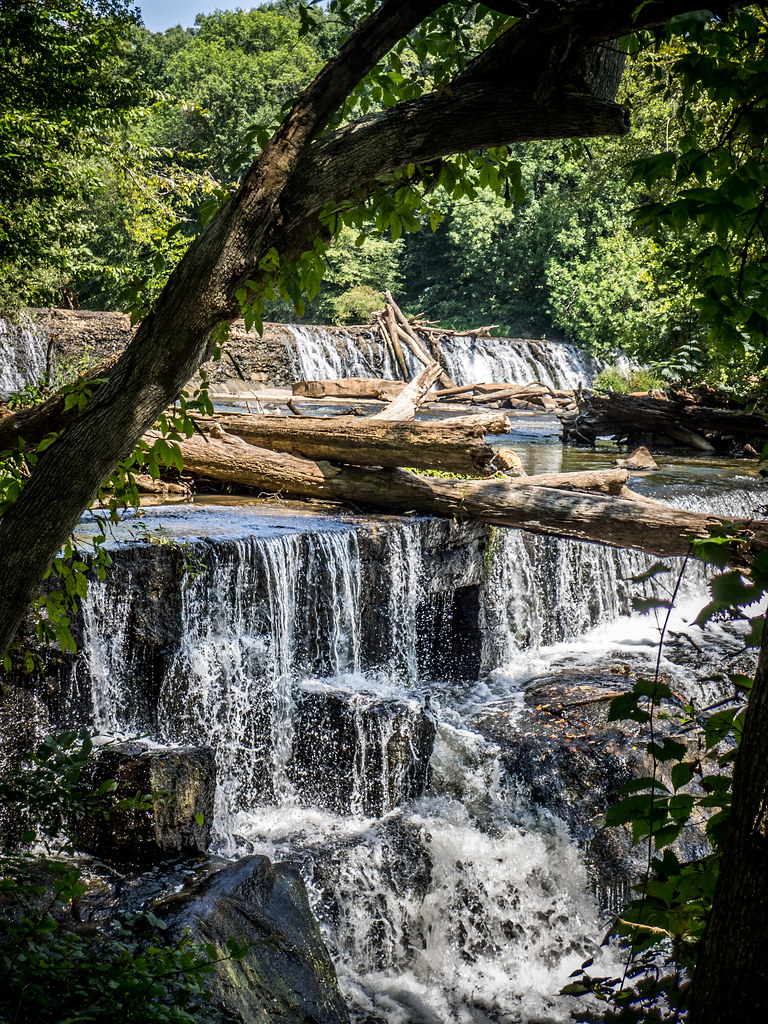
Cedar Falls, SC

Cedar Falls

Lake Connestee Nature Park-040

Cedar Falls Dam 1
Cedar Falls Park-004
Lake Connestee Herons Rookery

Cedar Falls, SC

Upcoming storm dwarfs cellular tower. #cellular #tower #dramatic #dramaticsky #sky #clouds #dramaticclouds #bluesky #storm #afterthestorm #beforethestorm

Lake Conestee Nature Park
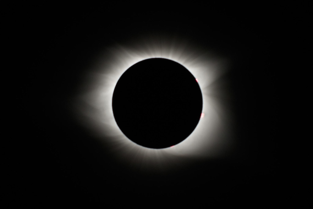
Eclipse 2017
Topographic Map of Belmont Drive, Belmont Dr, Fountain Inn, SC, USA
Find elevation by address:

Places near Belmont Drive, Belmont Dr, Fountain Inn, SC, USA:
100 N Main St
105 Georgia St
169 Trade St
Fountain Inn
22 Eventide Dr, Simpsonville, SC, USA
324 Hunter Rd
341 County Rd 349
145 Carolina Way
Carolina Springs Golf Club
112 Quail Hollow Dr
Scuffletown Rd, Fountain Inn, SC, USA
3714 Grandview Dr
Simpsonville
118 Griffith Ct
15 Chapel Hill Ln
150 New Harrison Bridge Rd
242 Chapel Hill Ln
232 Chapel Hill Ln
232 Chapel Hill Ln
242 Chapel Hill Ln
Recent Searches:
- Elevation of Corso Fratelli Cairoli, 35, Macerata MC, Italy
- Elevation of Tallevast Rd, Sarasota, FL, USA
- Elevation of 4th St E, Sonoma, CA, USA
- Elevation of Black Hollow Rd, Pennsdale, PA, USA
- Elevation of Oakland Ave, Williamsport, PA, USA
- Elevation of Pedrógão Grande, Portugal
- Elevation of Klee Dr, Martinsburg, WV, USA
- Elevation of Via Roma, Pieranica CR, Italy
- Elevation of Tavkvetili Mountain, Georgia
- Elevation of Hartfords Bluff Cir, Mt Pleasant, SC, USA