Elevation of Belle Plaine, MN, USA
Location: United States > Minnesota > Scott County >
Longitude: -93.768404
Latitude: 44.6230409
Elevation: 261m / 856feet
Barometric Pressure: 98KPa
Elevation Map:
Satellite Map:
Related Photos:
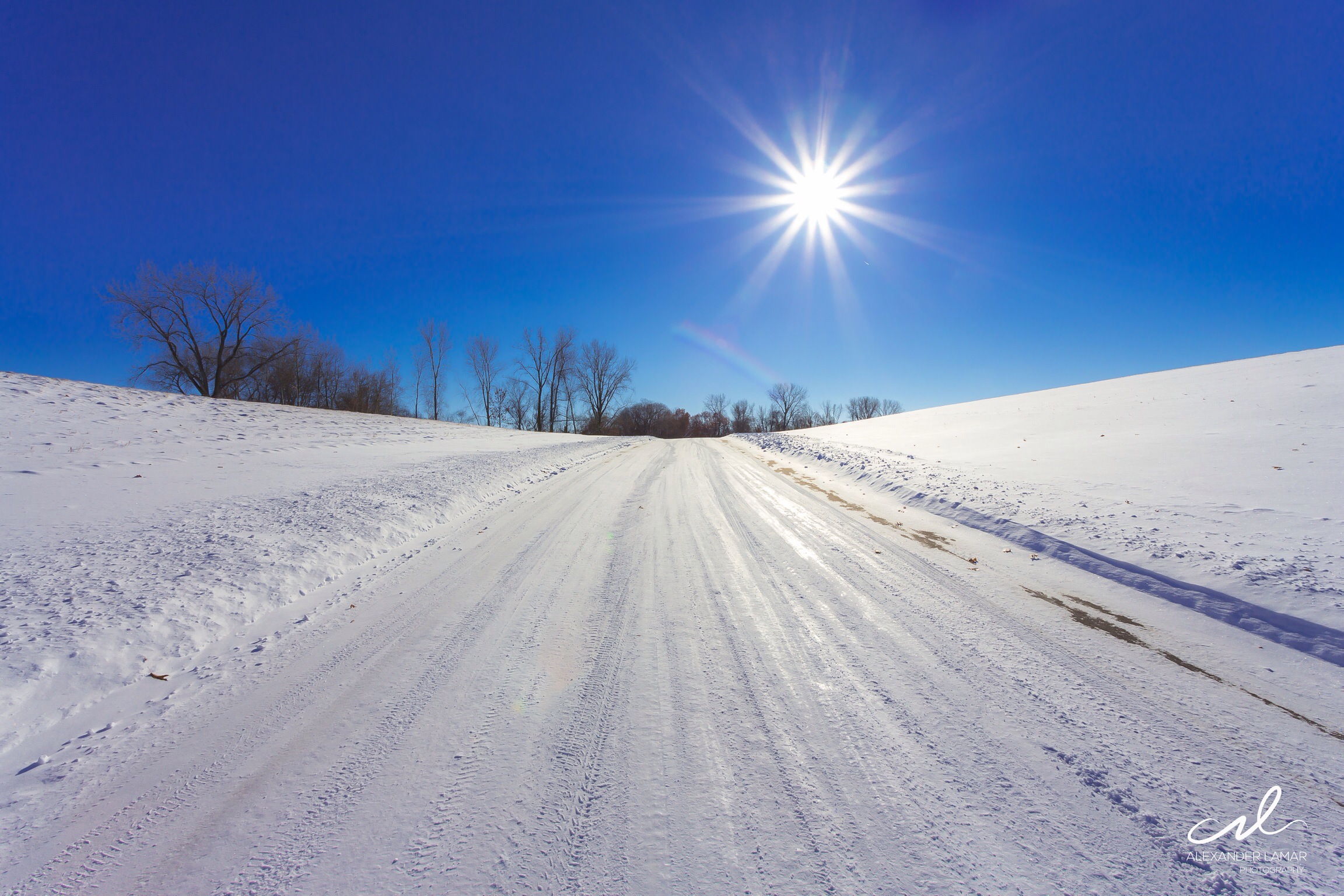
Clear blue sky on a cold wintery day in Minnesota.

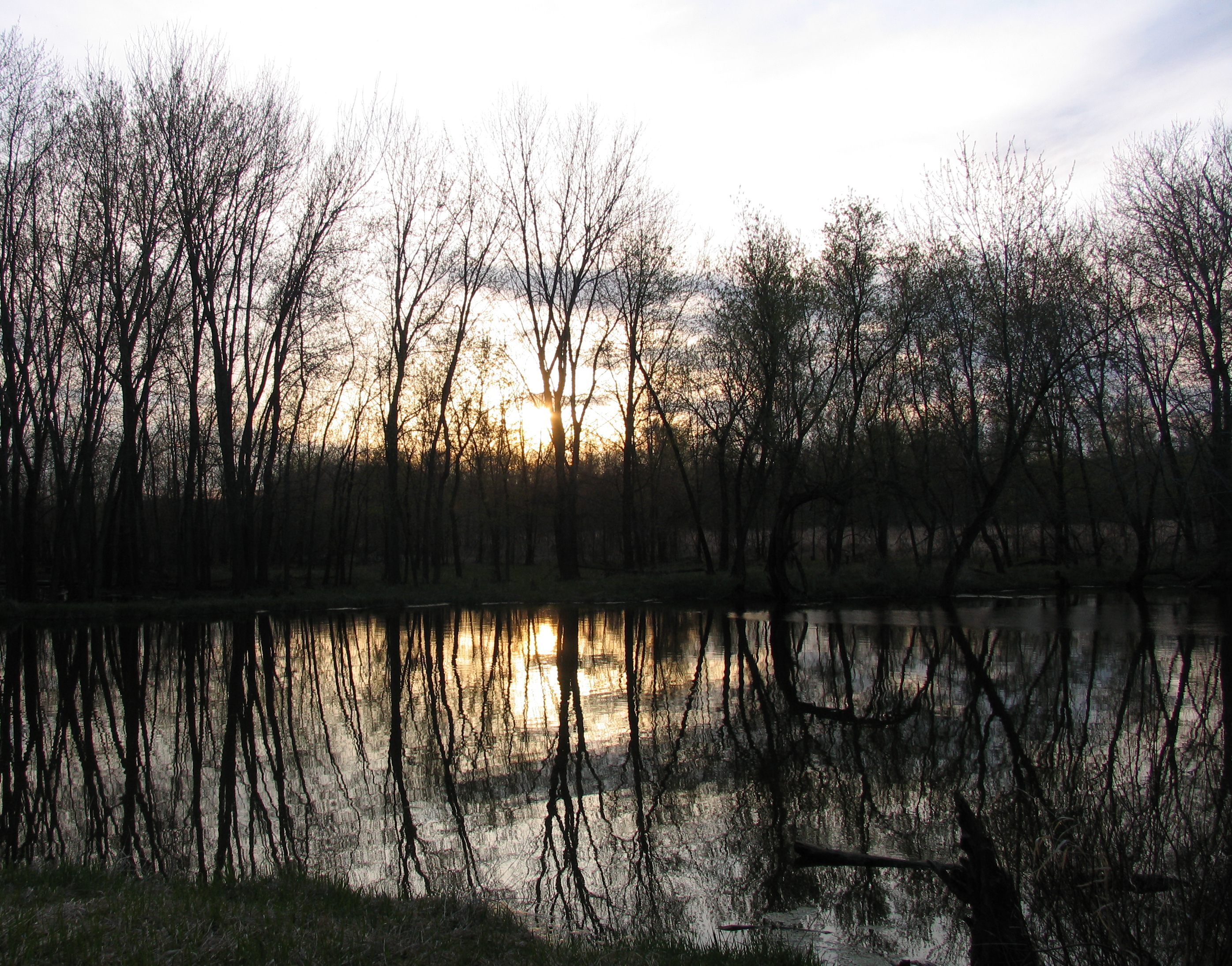
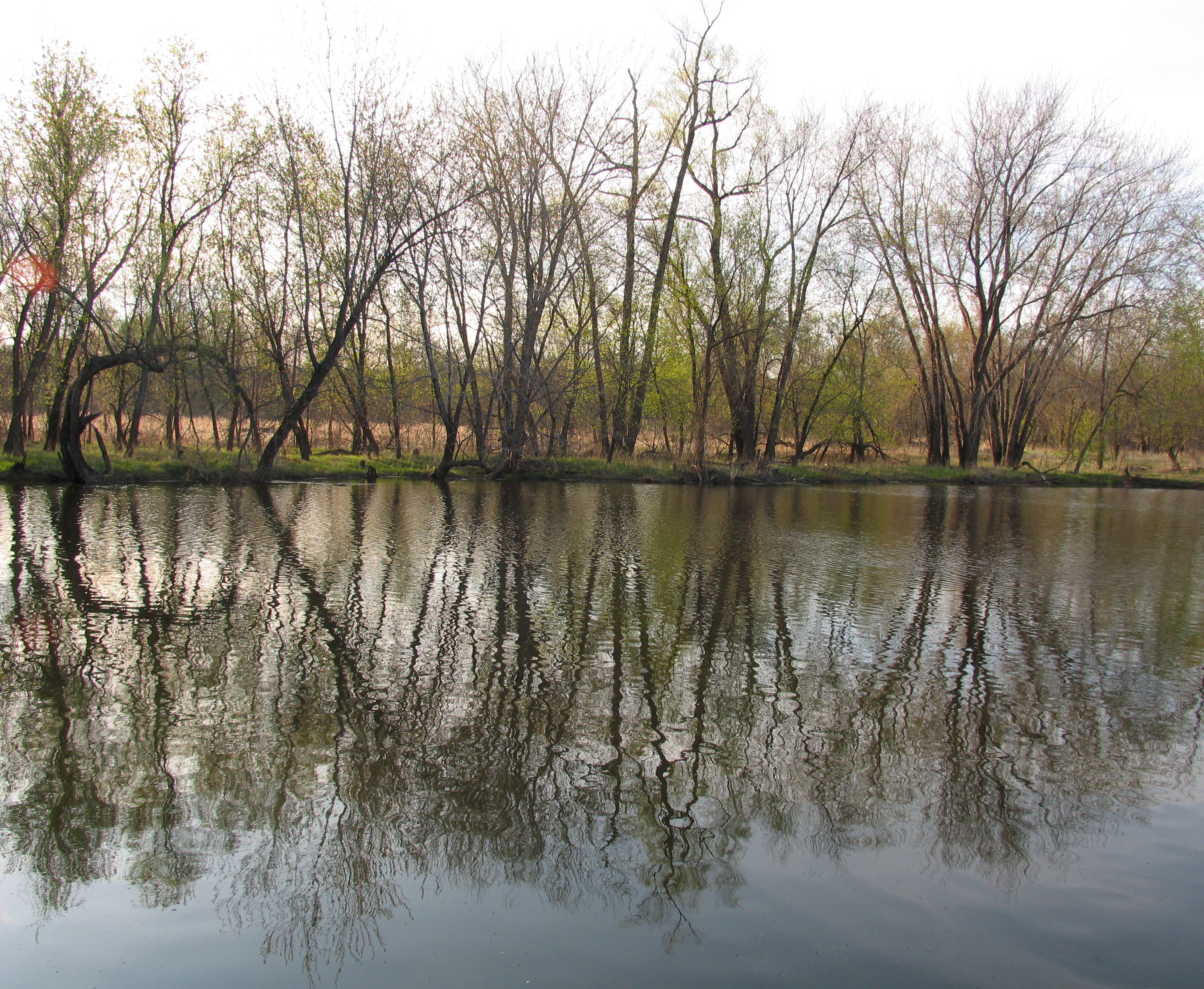
Reflections and Refractions
View from Site 12

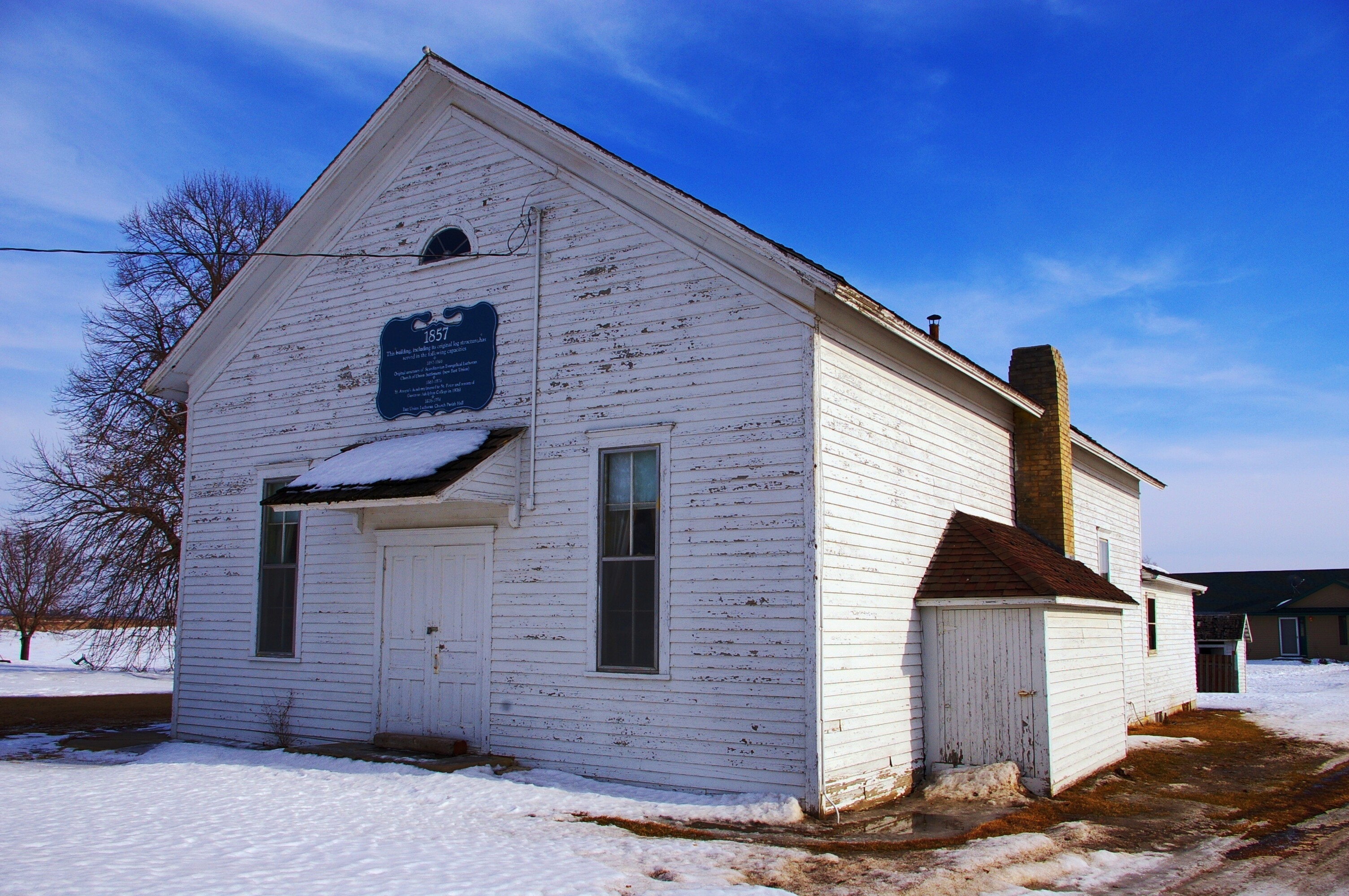
East Union Lutheran Church
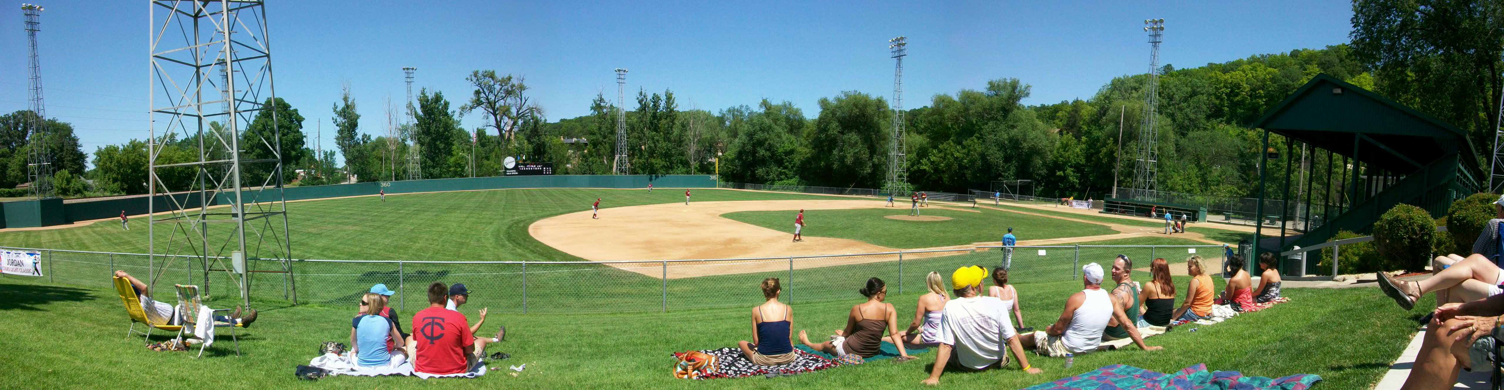
Panoramic View of Jordan's Mini-Met Field
Original East Union Lutheran Church

West Union Church

East Union Church
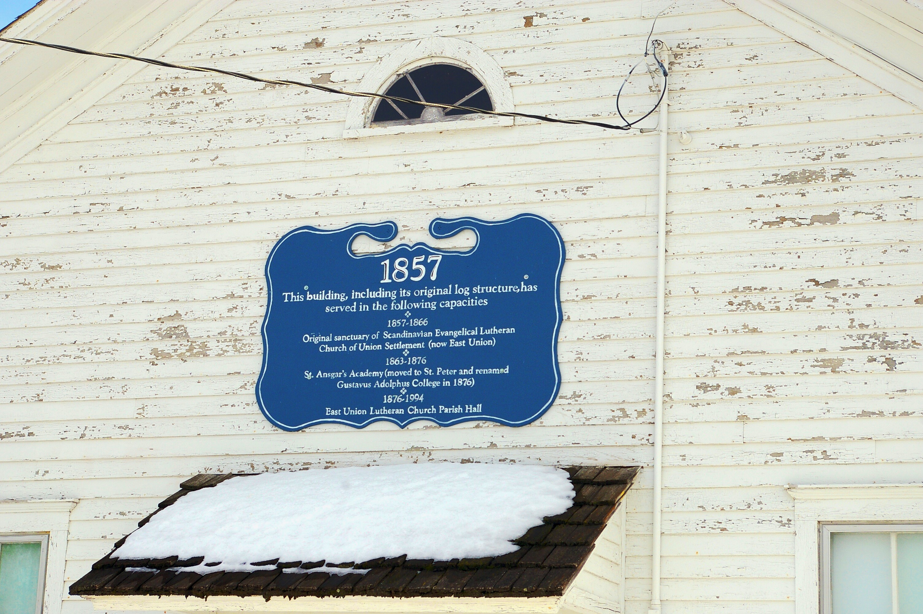
Original East Union Lutheran Church
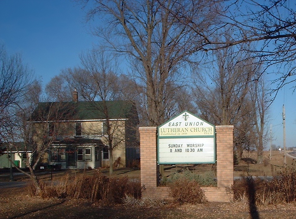
East Union Lutheran Church

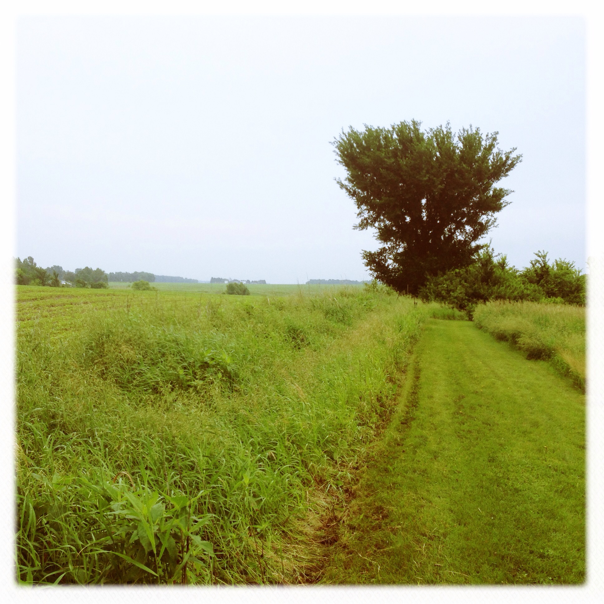
Minnesota Valley State Trail

Minnesota Valley State Trail

Old Rusty

East Union Sunset

Oratory of St. Thomas the Apostle
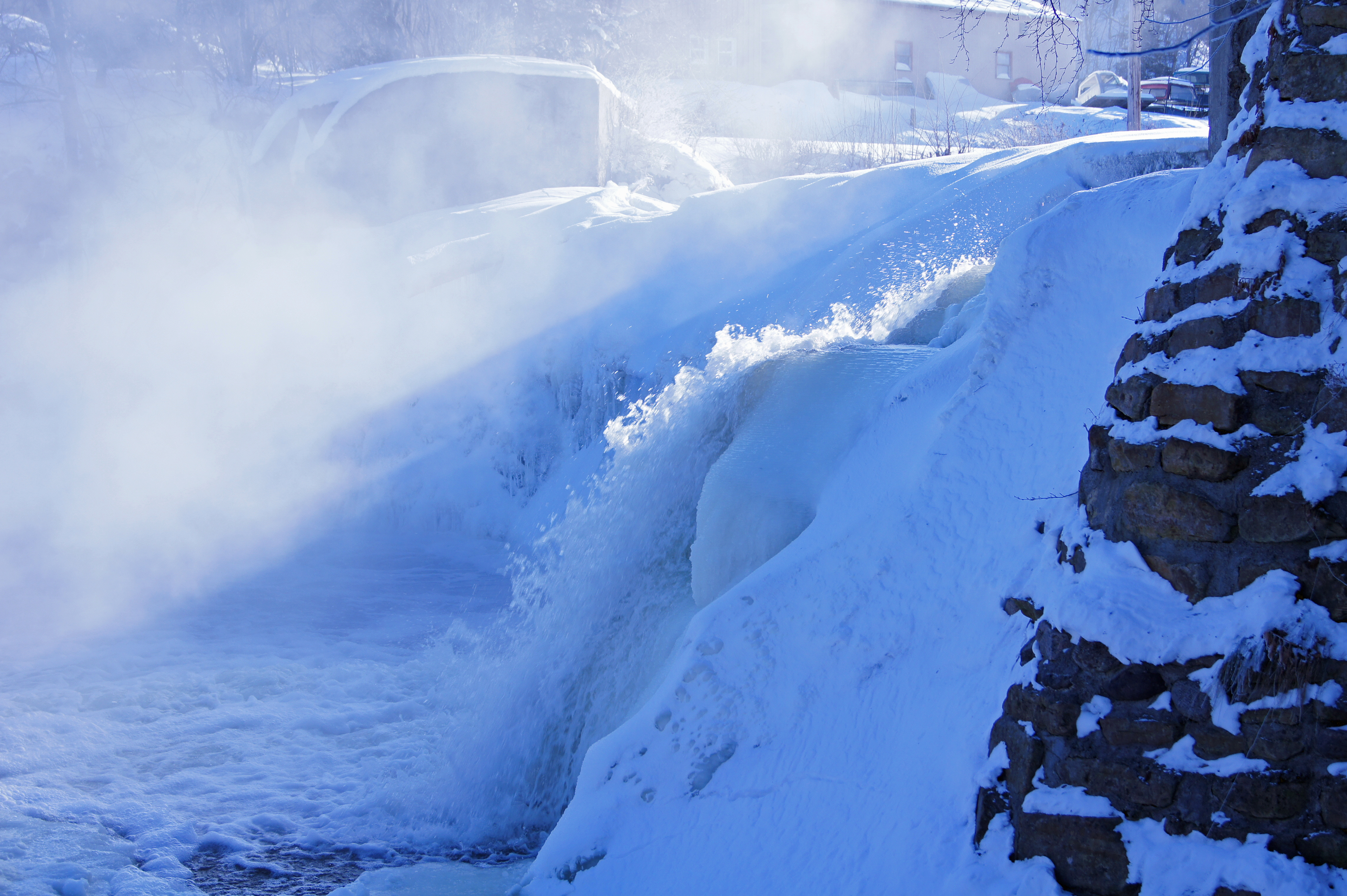
wf splash
Sun Setting 118/365/2009
Our Spot

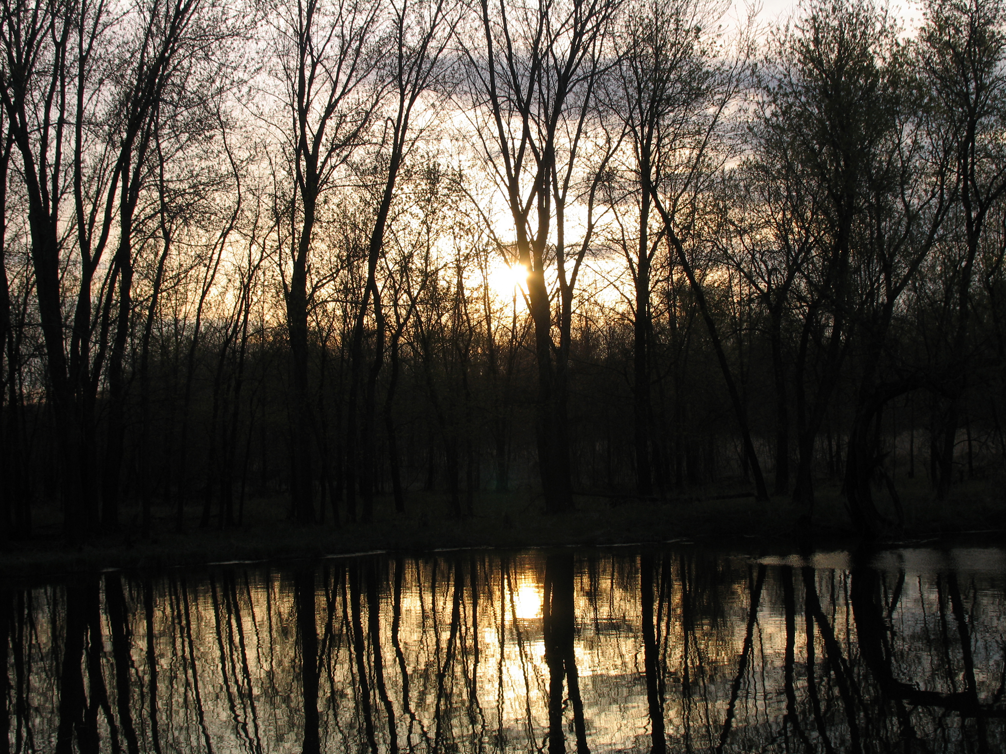
Sunrise on the River
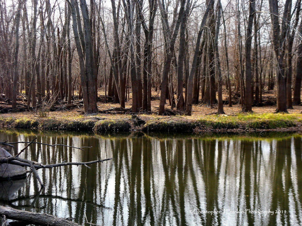
Minnesota Valley SRA, Lawrence Unit

Ney Nature Center
Ney Nature Center
Ney Nature Center
Ney Nature Center
Ney Nature Center
Fall in Henderson

Ney Nature Center

fall colors in HDR

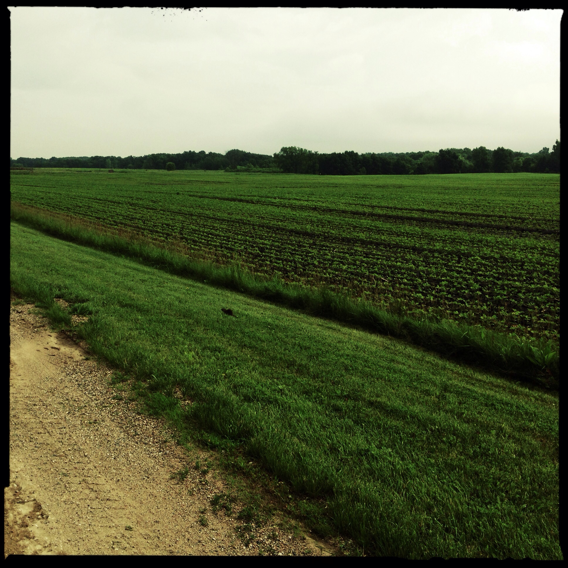
Minnesota Valley State Recreation Area (Jordan, MN) on 18 APR 2012

birds on the cattails

Ney Nature Center

Gimme some of that crisp golden light--one of my favorite parts of fall // #whpsignsoftheseason #chasinglight #exploremn #vscocam #vsco
20140113-Rapid Lake Unit- 17887- Edit.jpg
Topographic Map of Belle Plaine, MN, USA
Find elevation by address:

Places in Belle Plaine, MN, USA:
Places near Belle Plaine, MN, USA:
S Meridian St, Belle Plaine, MN, USA
120 S Willow St
215 W Beaver St
215 W Beaver St
215 W Beaver St
St. Lawrence Township
Elm Way, Belle Plaine, MN, USA
Blakeley Township
US-, Jordan, MN, USA
Belle Plaine Township
Scott County Fair Grounds, Minnesota
Tyrone Township
510 Lodge Dr
6376 W 270th St
26881 320th St
15224 County Rd 40
Cologne
Jordan
15130 County Rd 40
15000 County Rd 40
Recent Searches:
- Elevation of Corso Fratelli Cairoli, 35, Macerata MC, Italy
- Elevation of Tallevast Rd, Sarasota, FL, USA
- Elevation of 4th St E, Sonoma, CA, USA
- Elevation of Black Hollow Rd, Pennsdale, PA, USA
- Elevation of Oakland Ave, Williamsport, PA, USA
- Elevation of Pedrógão Grande, Portugal
- Elevation of Klee Dr, Martinsburg, WV, USA
- Elevation of Via Roma, Pieranica CR, Italy
- Elevation of Tavkvetili Mountain, Georgia
- Elevation of Hartfords Bluff Cir, Mt Pleasant, SC, USA