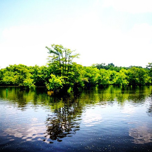
Elevation of Belaire Cove Rd, Ville Platte, LA, USA
Location: United States > Louisiana > Evangeline Parish > >
Longitude: -92.243998
Latitude: 30.6665832
Elevation: 23m / 75feet
Barometric Pressure: 101KPa
Related Photos:
Topographic Map of Belaire Cove Rd, Ville Platte, LA, USA
Find elevation by address:

Places near Belaire Cove Rd, Ville Platte, LA, USA:
8, LA, USA
1919 E Main St
Belaire Cove Rd, Ville Platte, LA, USA
E Washington St, Ville Platte, LA, USA
Ville Platte
2471 Belaire Cove Rd
618 Calcasieu St
618 Calcasieu St
620 Calcasieu St
11, LA, USA
13, LA, USA
Big Joe Rd, Opelousas, LA, USA
1, LA, USA
10, LA, USA
667 L'anse Aux Pailles Rd
2349 Faubourg Rd
LA-, Washington, LA, USA
7, LA, USA
4, LA, USA
2639 Pine Point Rd
Recent Searches:
- Elevation of Corso Fratelli Cairoli, 35, Macerata MC, Italy
- Elevation of Tallevast Rd, Sarasota, FL, USA
- Elevation of 4th St E, Sonoma, CA, USA
- Elevation of Black Hollow Rd, Pennsdale, PA, USA
- Elevation of Oakland Ave, Williamsport, PA, USA
- Elevation of Pedrógão Grande, Portugal
- Elevation of Klee Dr, Martinsburg, WV, USA
- Elevation of Via Roma, Pieranica CR, Italy
- Elevation of Tavkvetili Mountain, Georgia
- Elevation of Hartfords Bluff Cir, Mt Pleasant, SC, USA

