Elevation of Beechnut Ln, Mt Airy, NC, USA
Location: United States > North Carolina > Surry County > Mount Airy > Mount Airy >
Longitude: -80.686066
Latitude: 36.475656
Elevation: 373m / 1224feet
Barometric Pressure: 97KPa
Elevation Map:
Satellite Map:
Related Photos:

North Carolina | Mount Airy
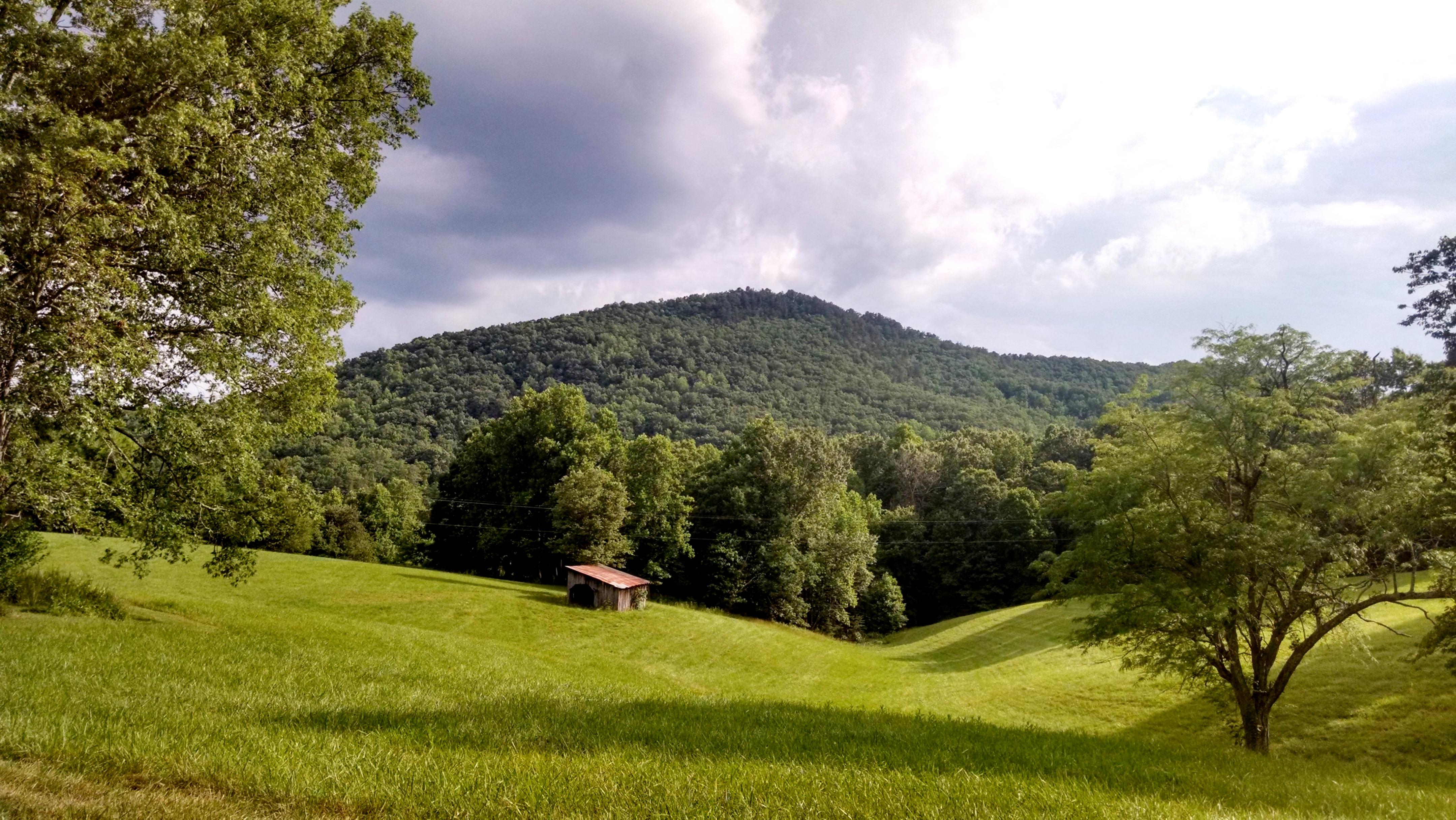
A view of the Knob from Honey Locust Lane.
Rest Area with a view
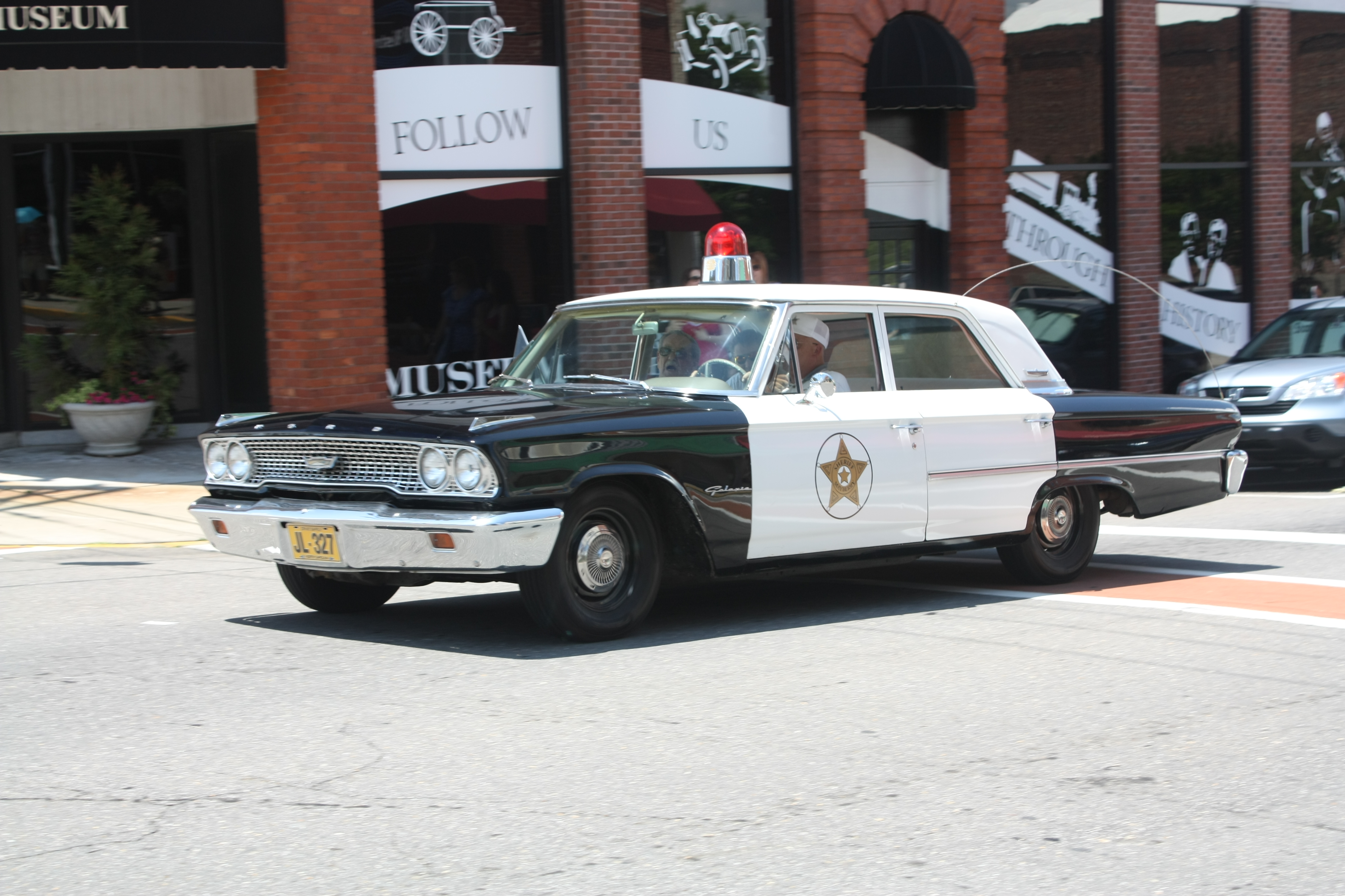
Mayberry Police Car
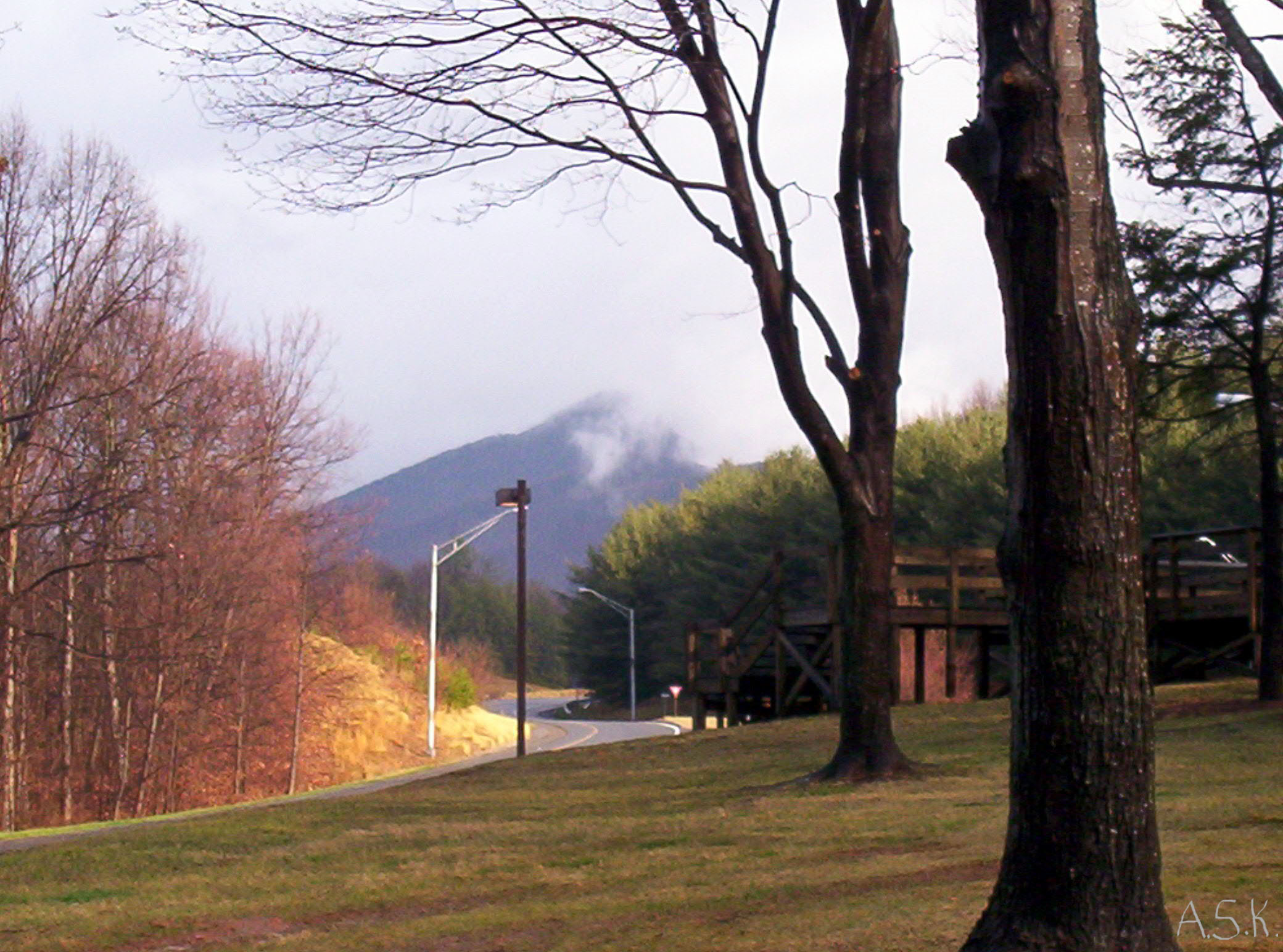
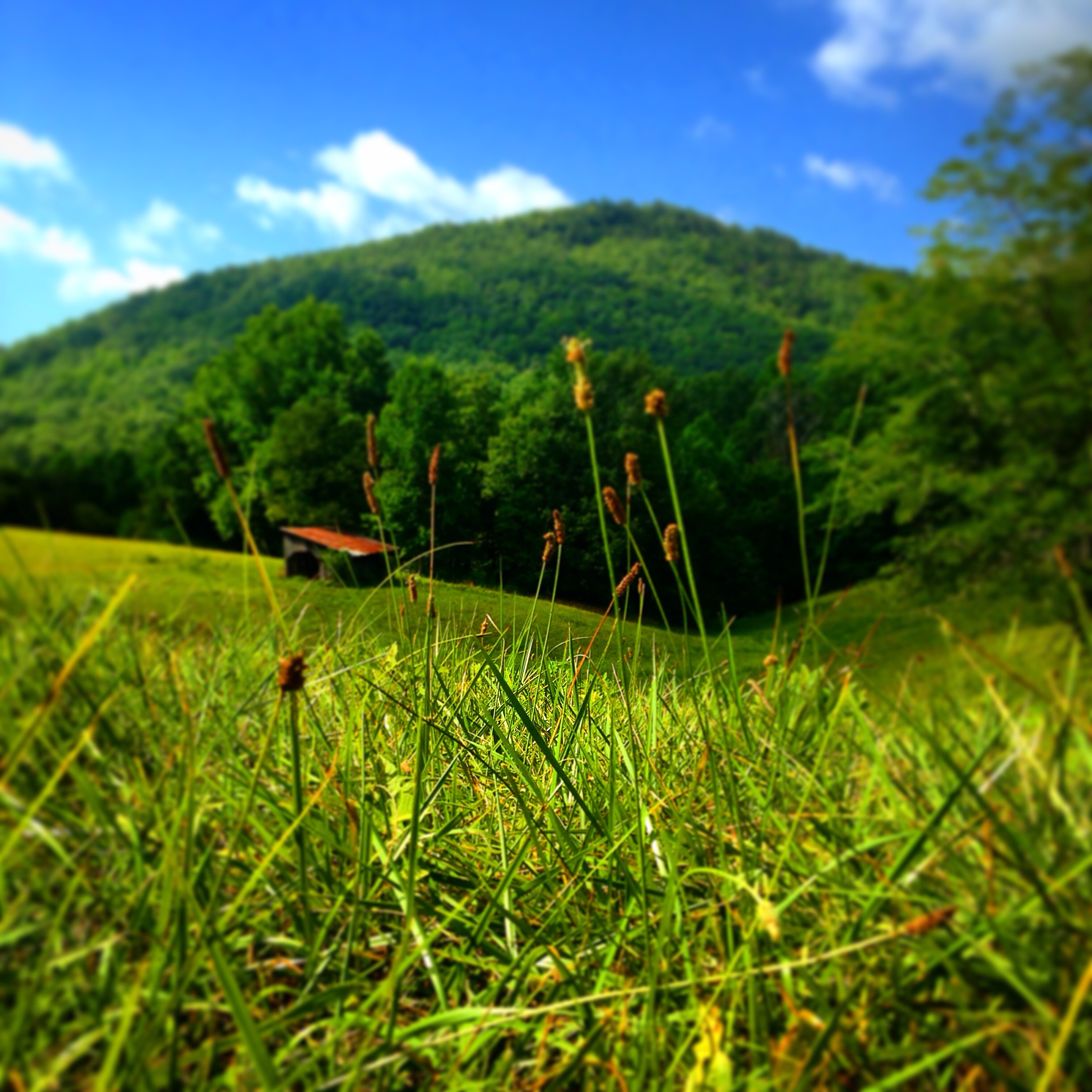
Nice view

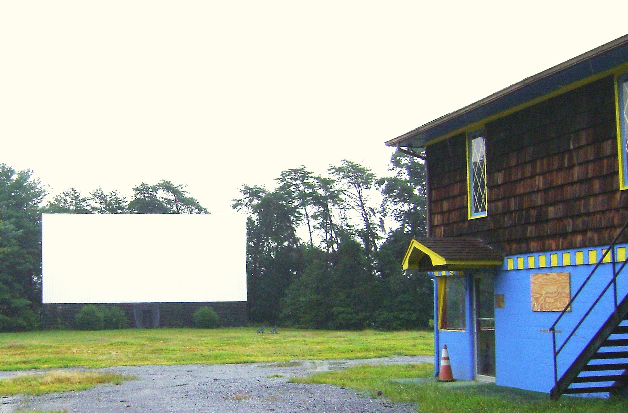
Bright Leaf Drive-In, Mt. Airy, NC, 2000

Bank of Mount Airy
A new view of the Knob

Raven Knob Panorama
From Above

Bright Leaf Drive In, Mt Airy NC, Surry County, Closed
Bright Leaf Drive In, Mt Airy NC, Surry County, Closed

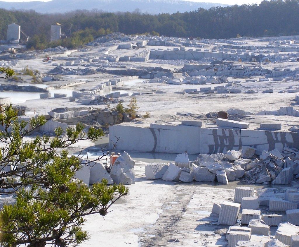
Granite Headquarters
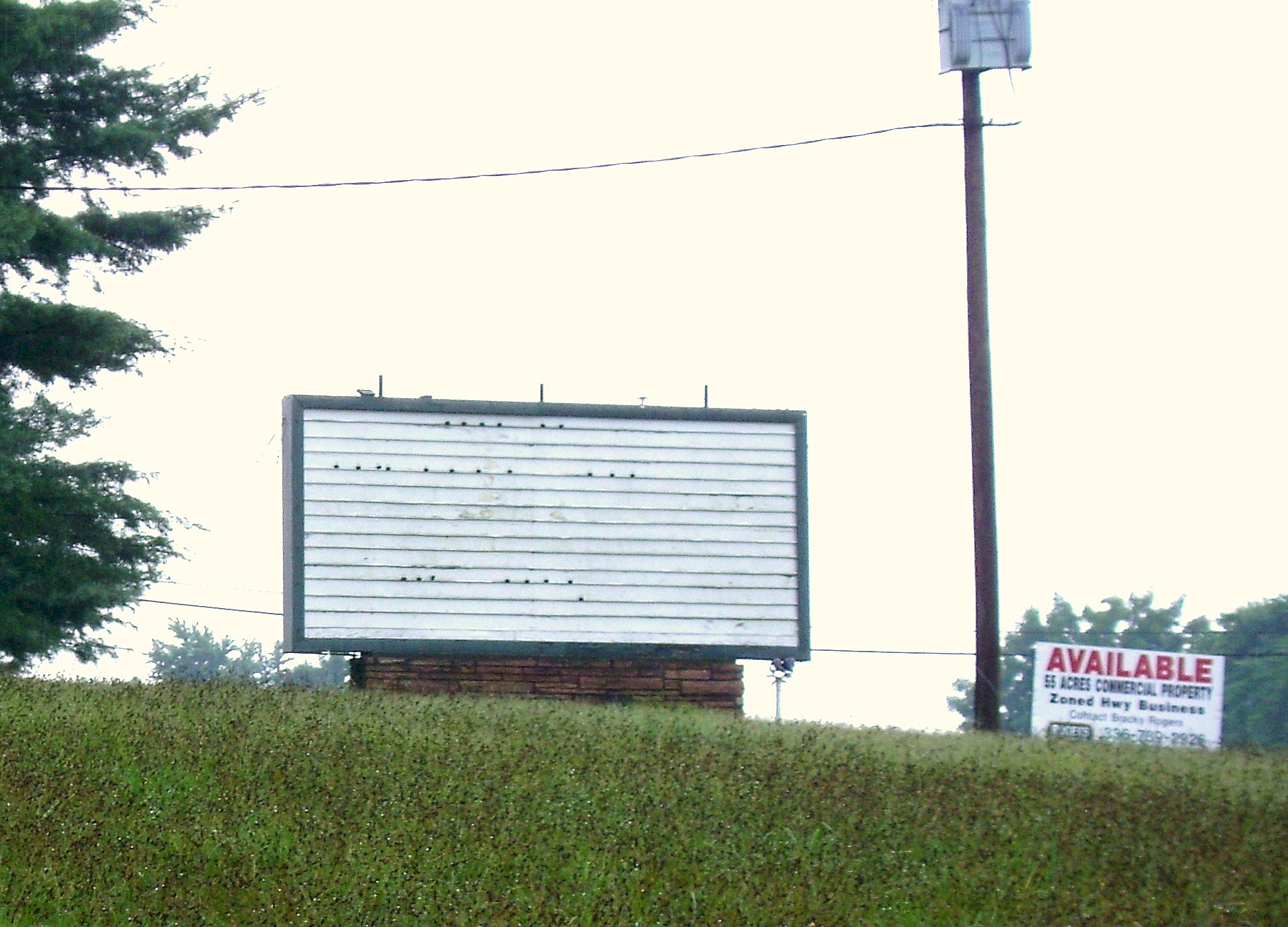
Bright Leaf Drive In, Mt Airy NC, Surry County, Closed
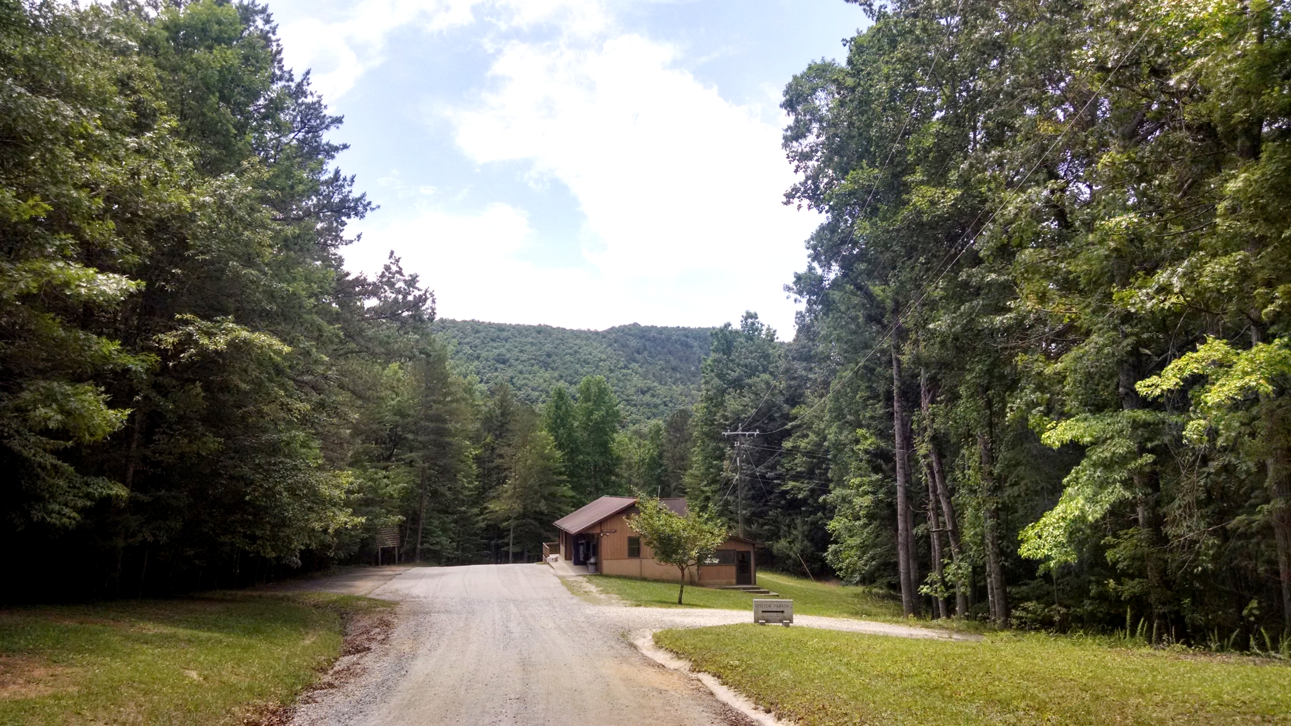
A beautiful view down Raven Knob road into camp. 6/11/14
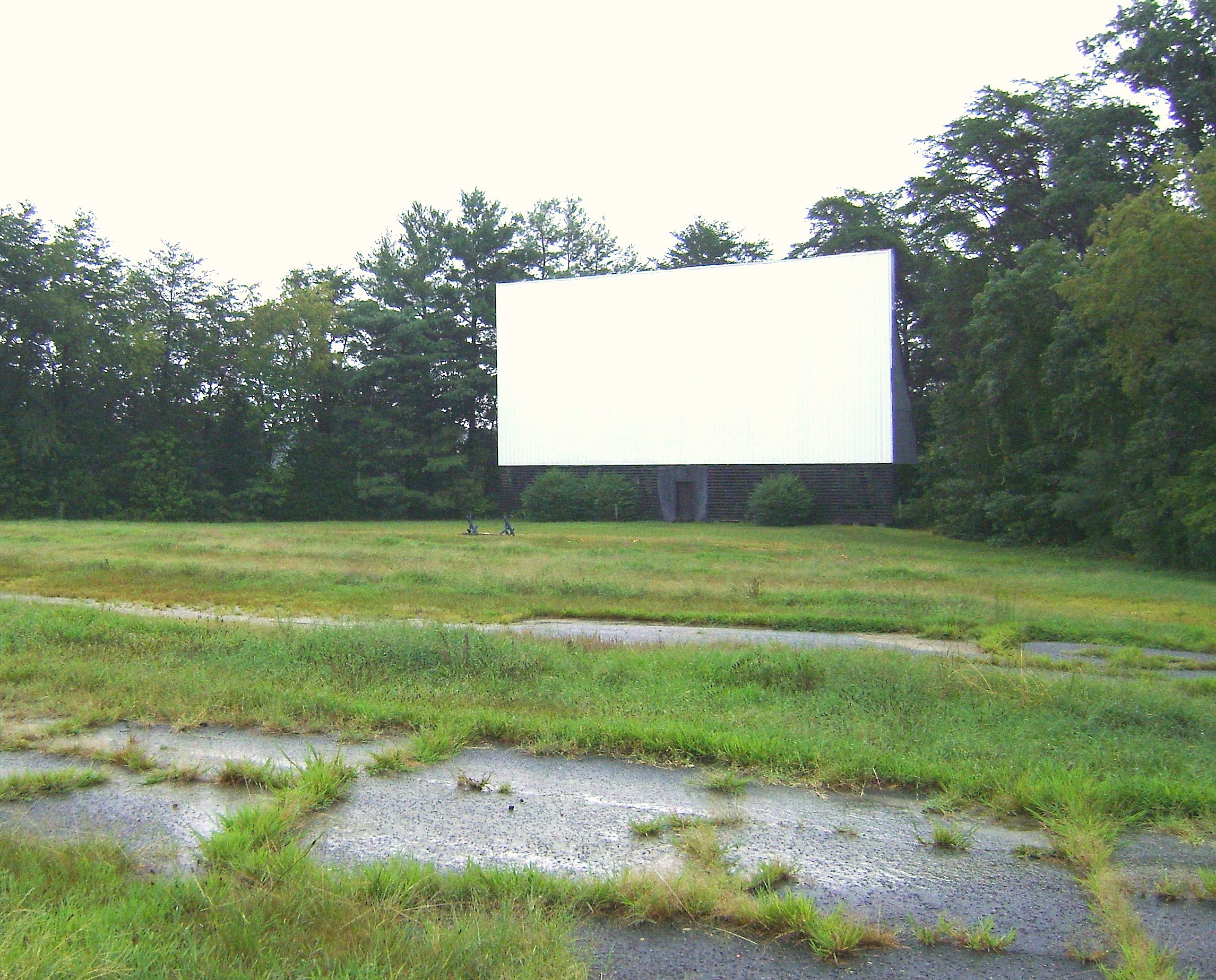
Bright Leaf Drive In, Mt Airy NC, Surry County, Closed

angel porch 2
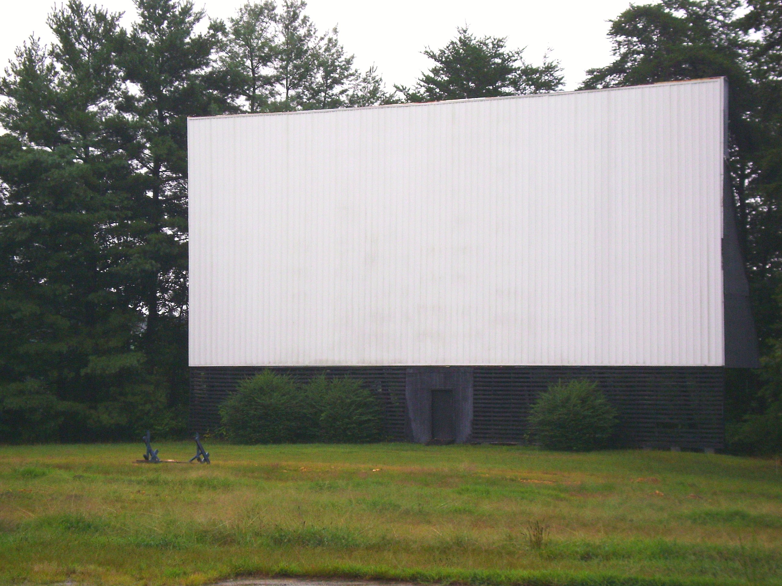
Bright Leaf Drive In, Mt Airy NC, Surry County, Closed

Bright Leaf Drive In, Mt Airy NC, Surry County, Closed
When birds attack....
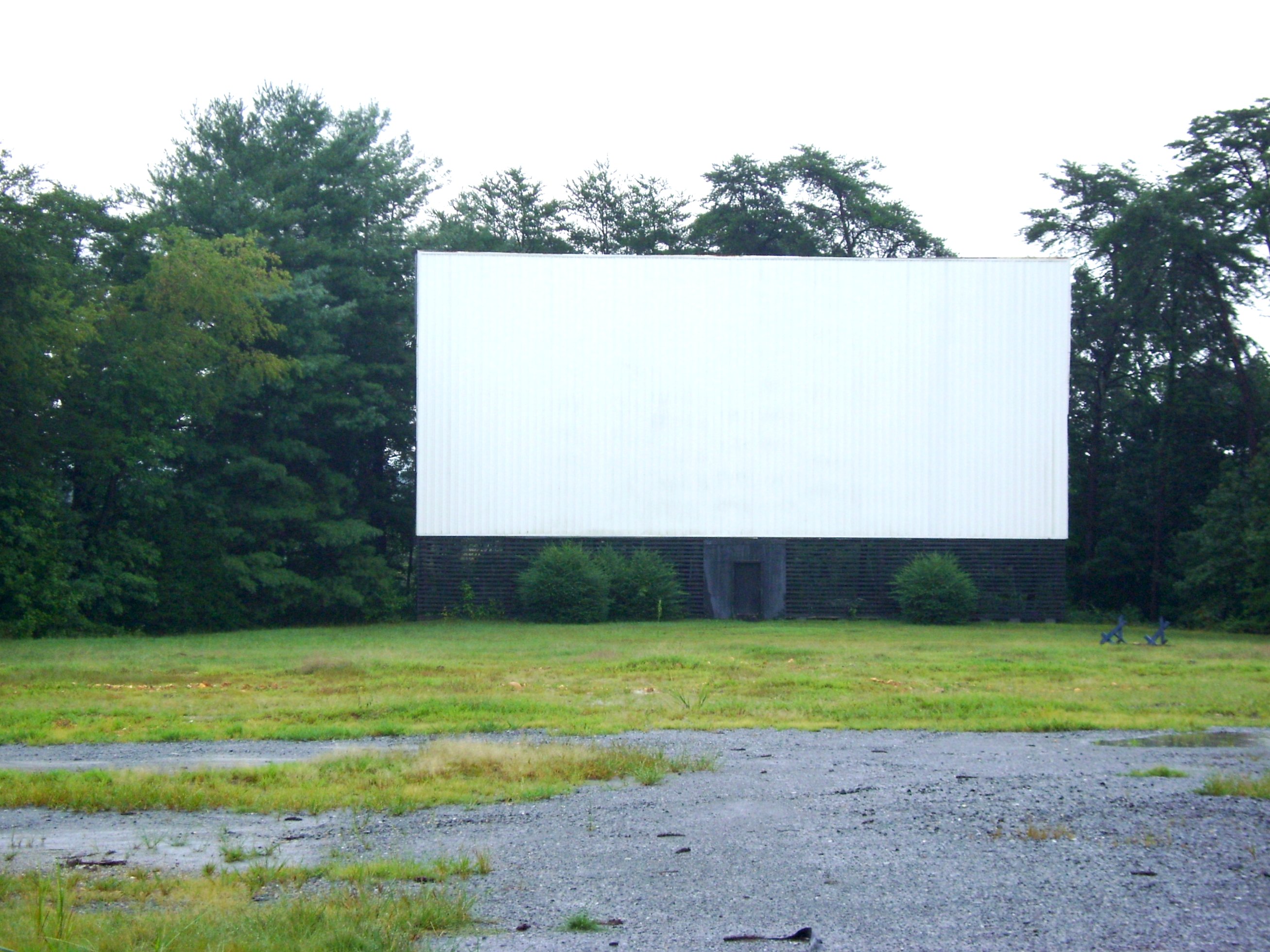
Bright Leaf Drive In, Mt Airy NC, Surry County, Closed
DSC_0139, DSC_0140, DSC_0141 (1).jpg
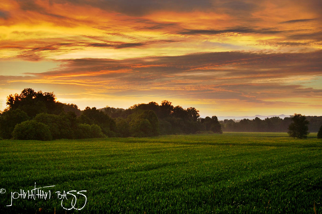
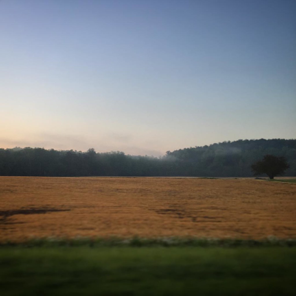
Chestnut Ridge Sunrise
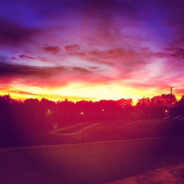
Because there aren't enough pretty #sunset pictures on Instagram...
Good morning!
img000925.png
Beautiful Sunlight
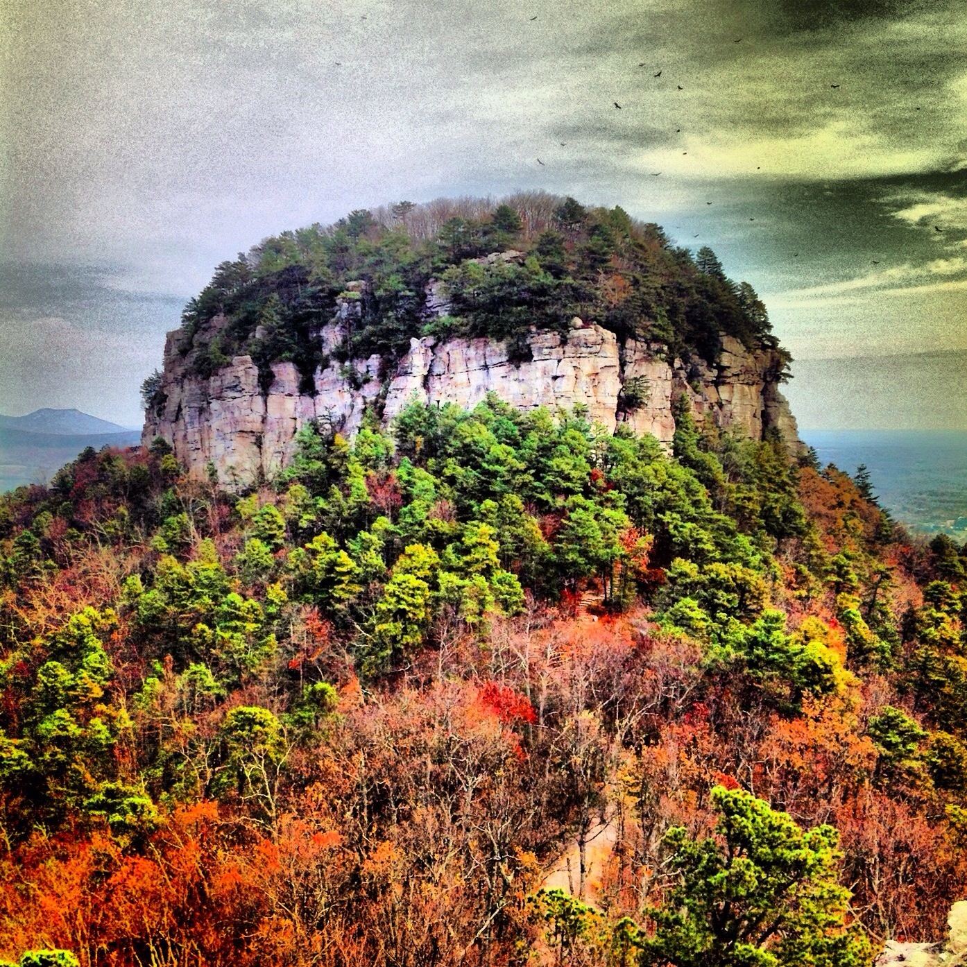
Mount Pilot

Walk Into The Sun

Sunrise 1/26/13

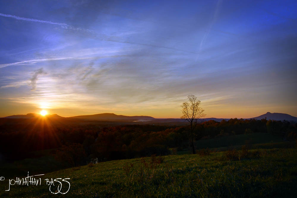
State Line Sunset

Bright Leaf Drive-In, Mt. Airy, NC, 2000
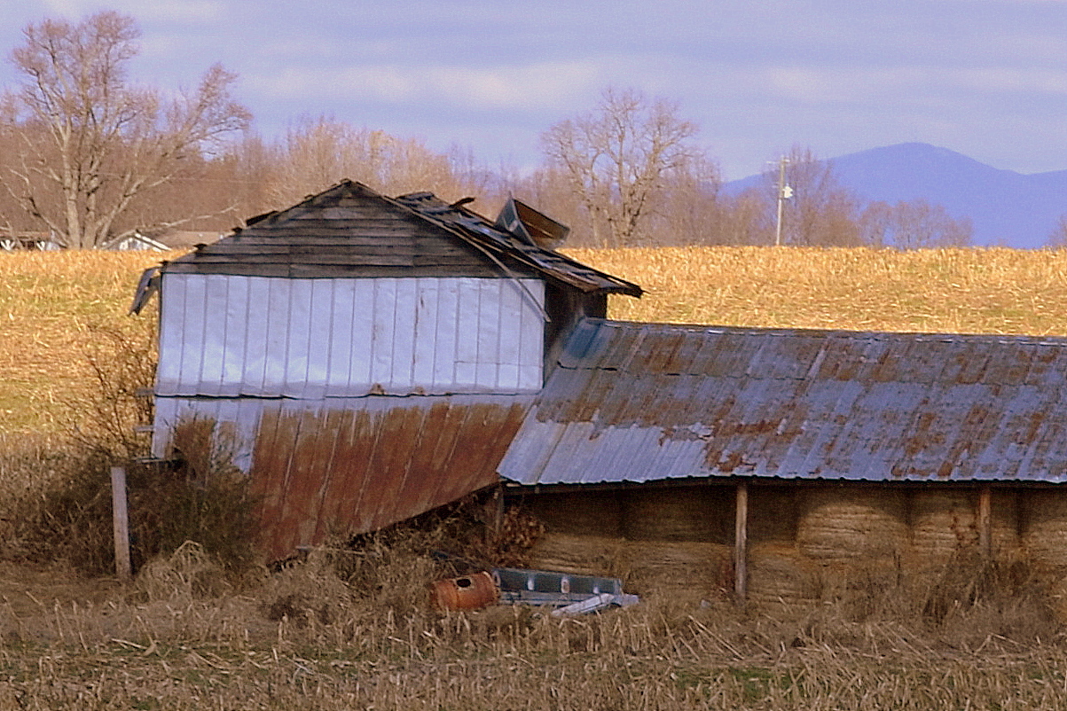
Old Tobacco Barns, Surry County

img000916.png
Photos from throughout the week.

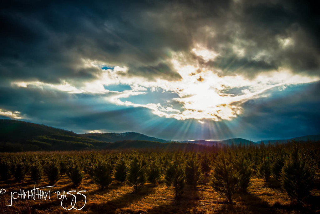
Snow Topped Blue Ridge
Photos from throughout the week.
Photos from throughout the week.

img000904.png
Photos from throughout the week.

Week 5 Campfire
Topographic Map of Beechnut Ln, Mt Airy, NC, USA
Find elevation by address:

Places near Beechnut Ln, Mt Airy, NC, USA:
609 White Buffalo Rd
Freetown Lane
114 Bunker Rd
Mayberry Campground
261 Noonkester Dr
155 Wagoner Dr
County Home Rd, Dobson, NC, USA
Philip Branch Rd, Mt Airy, NC, USA
W Pine St, Mt Airy, NC, USA
Tanglewood Drive
118 Lyn Ave
223 Amos Ln
204 October Ln
Mt Airy, NC, USA
Stewarts Creek
Mount Airy
100 S Main St
1867 Greenhill Rd
145 Laurel Creek Dr
Surry Drug Company
Recent Searches:
- Elevation of Corso Fratelli Cairoli, 35, Macerata MC, Italy
- Elevation of Tallevast Rd, Sarasota, FL, USA
- Elevation of 4th St E, Sonoma, CA, USA
- Elevation of Black Hollow Rd, Pennsdale, PA, USA
- Elevation of Oakland Ave, Williamsport, PA, USA
- Elevation of Pedrógão Grande, Portugal
- Elevation of Klee Dr, Martinsburg, WV, USA
- Elevation of Via Roma, Pieranica CR, Italy
- Elevation of Tavkvetili Mountain, Georgia
- Elevation of Hartfords Bluff Cir, Mt Pleasant, SC, USA