Elevation of Beechgrove, TN, USA
Location: United States > Tennessee > Coffee County > Beechgrove >
Longitude: -86.195516
Latitude: 35.6589536
Elevation: 342m / 1122feet
Barometric Pressure: 97KPa
Elevation Map:
Satellite Map:
Related Photos:
Would be a pity to miss Rock City
See Rock City atop Lookout Mt.

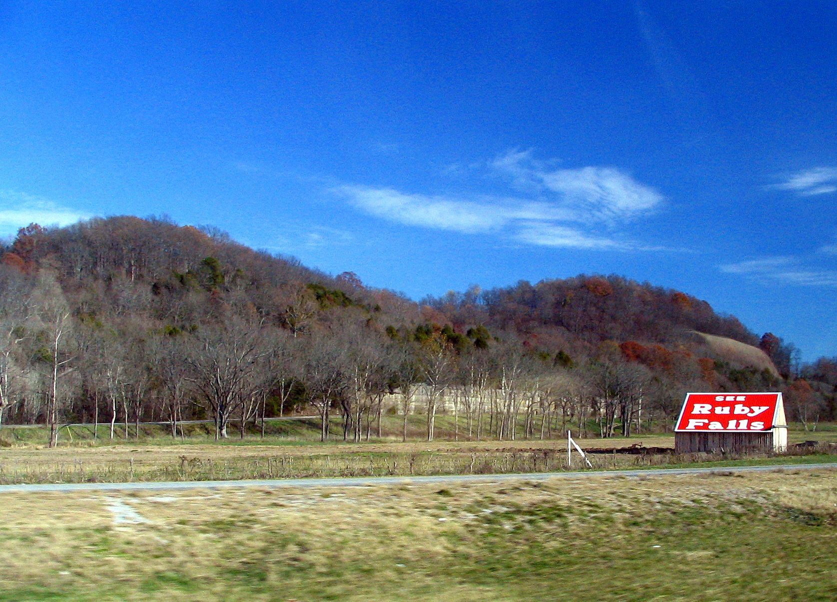
See Ruby Falls Barn

TNapr07 001

TNapr07 043
TNapr07 080

RCB 6
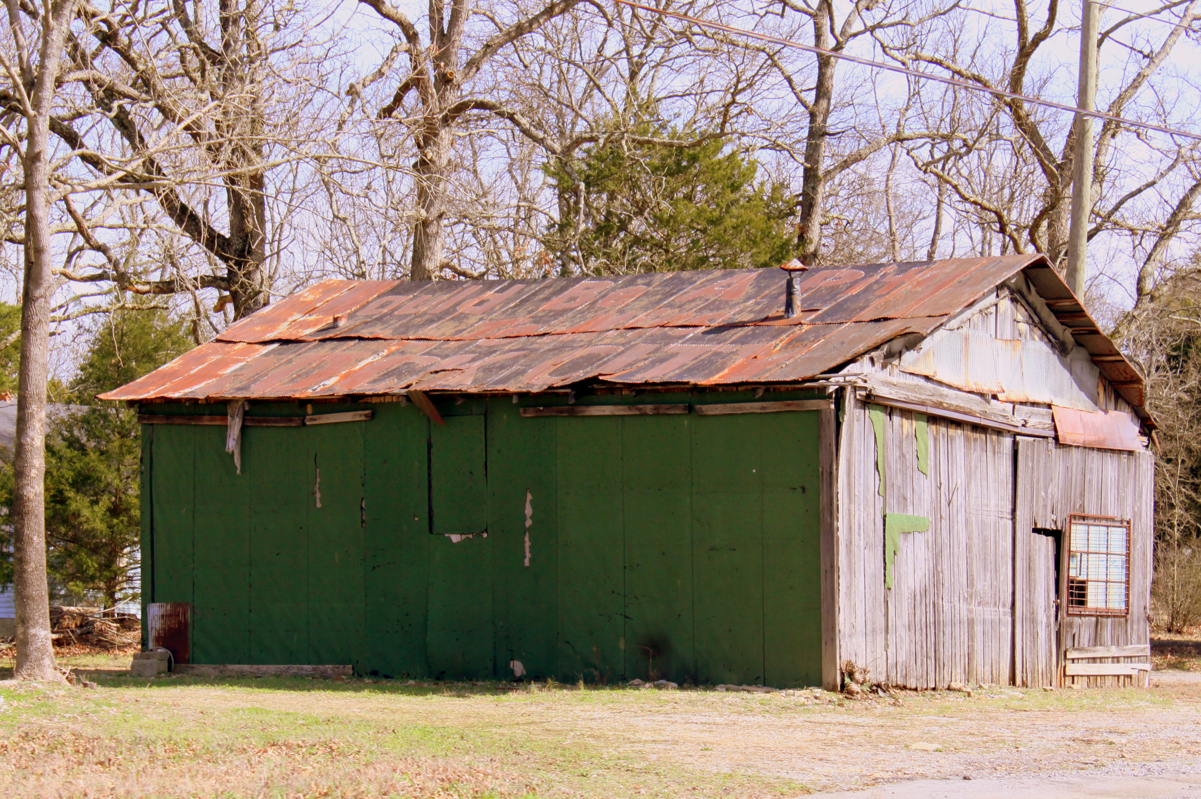
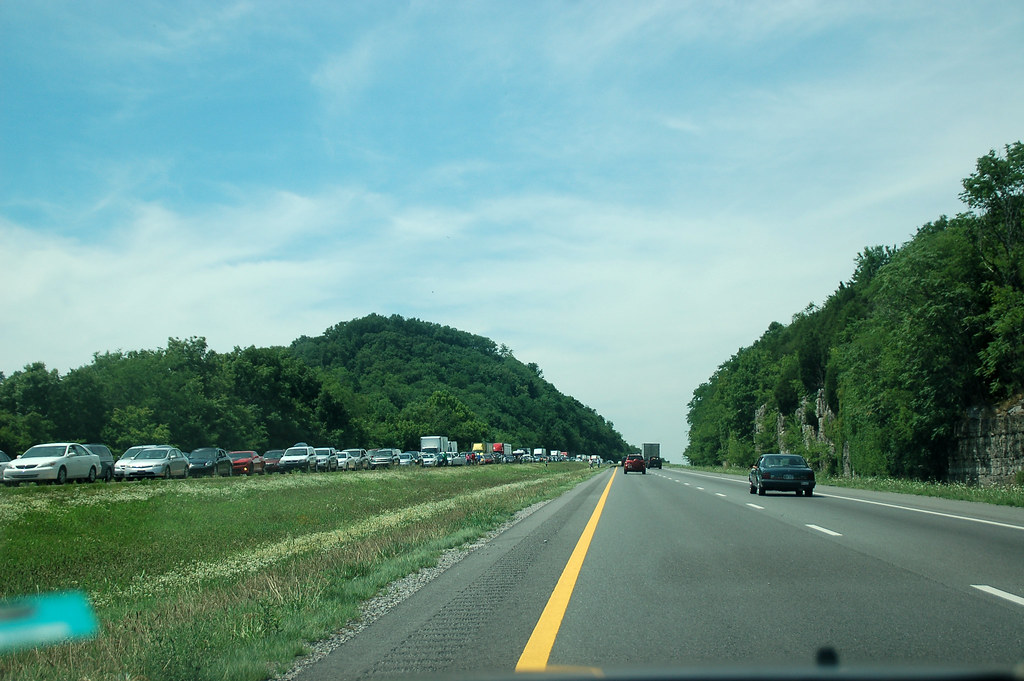
Ruby Falls barn in Coffee County #2
VIRB0260.jpg
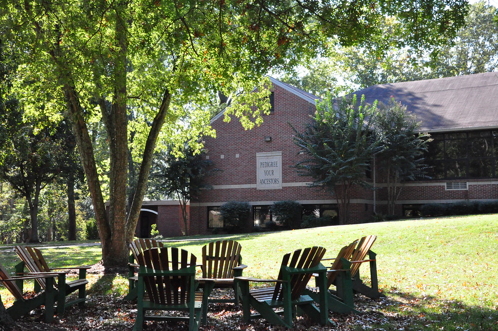
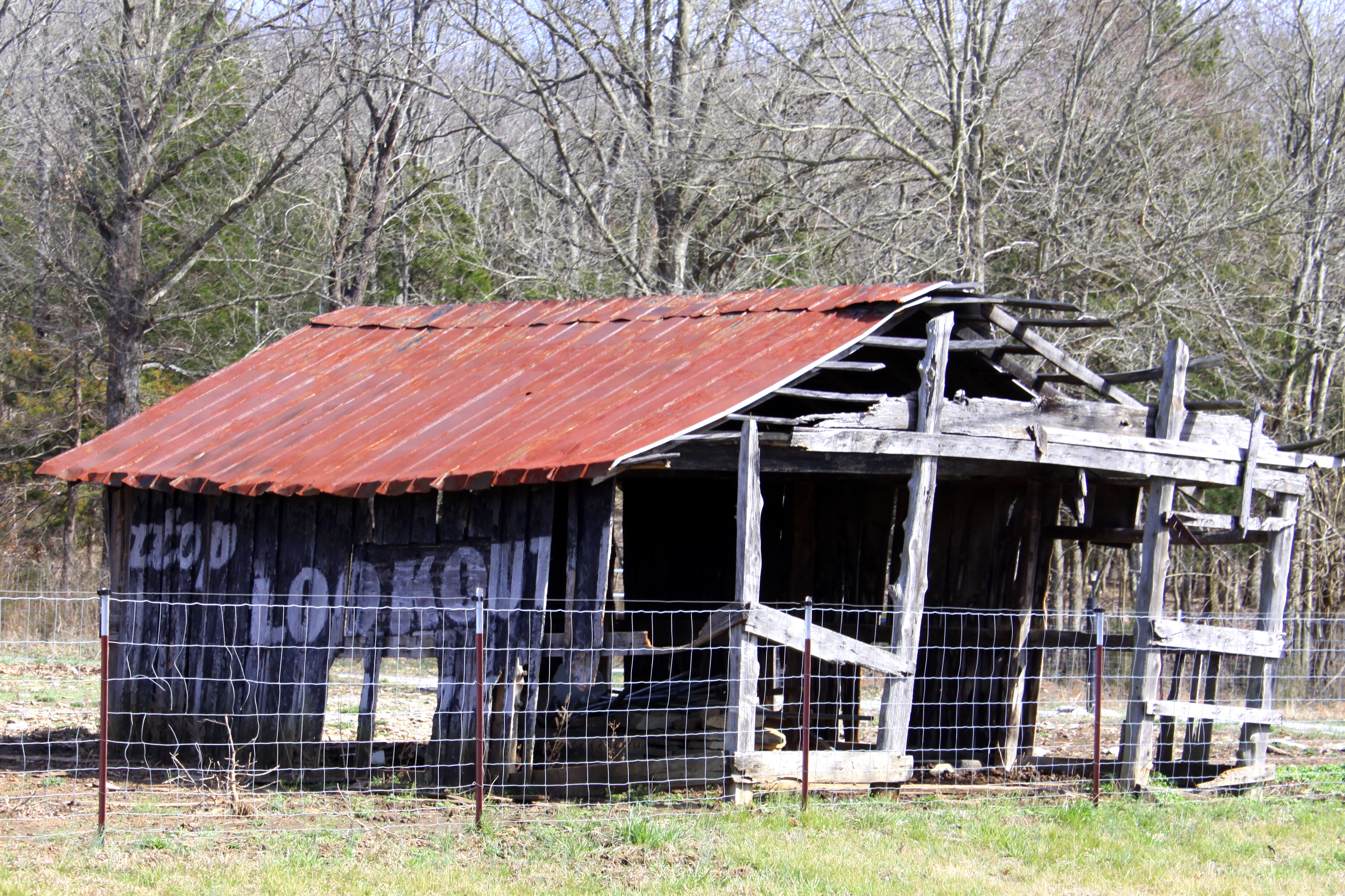
"Pedigree your ancestors." - h
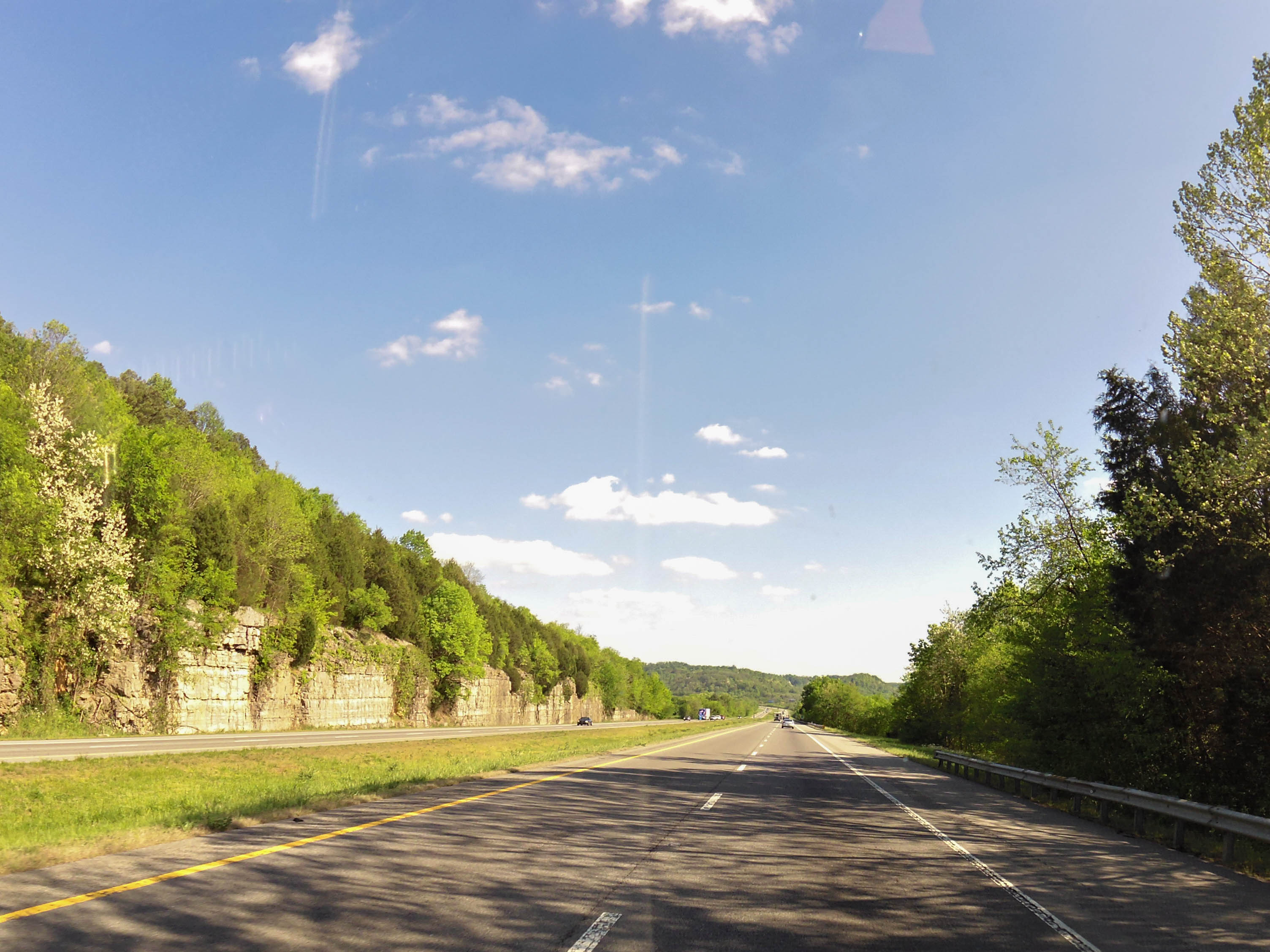
TN I-24 near MM 100
Topographic Map of Beechgrove, TN, USA
Find elevation by address:

Places near Beechgrove, TN, USA:
641 Jacobs Hollow Rd
Beechgrove
Old U.S. 41, Beechgrove, TN, USA
Gnat Hill Rd, Manchester, TN, USA
8413 Eaton Hollow Rd
1862 Sixteenth Model Rd
Murfreesboro Hwy, Manchester, TN, USA
White Rd, Wartrace, TN, USA
Beechwood Rd, Bell Buckle, TN, USA
Moreland Road
Bell Buckle, TN, USA
Bell Buckle
4590 Tn-64
Wartrace
Wartrace, TN, USA
400 Coop Rd
Jabiru Usa Sport Aircraft
2835 Us-231
Midland Rd, Bell Buckle, TN, USA
Midland Road
Recent Searches:
- Elevation of Corso Fratelli Cairoli, 35, Macerata MC, Italy
- Elevation of Tallevast Rd, Sarasota, FL, USA
- Elevation of 4th St E, Sonoma, CA, USA
- Elevation of Black Hollow Rd, Pennsdale, PA, USA
- Elevation of Oakland Ave, Williamsport, PA, USA
- Elevation of Pedrógão Grande, Portugal
- Elevation of Klee Dr, Martinsburg, WV, USA
- Elevation of Via Roma, Pieranica CR, Italy
- Elevation of Tavkvetili Mountain, Georgia
- Elevation of Hartfords Bluff Cir, Mt Pleasant, SC, USA