Elevation of Beech Fork Rd, East Lynn, WV, USA
Location: United States > West Virginia > Wayne County > Stonewall > East Lynn >
Longitude: -82.282895
Latitude: 38.175425
Elevation: 238m / 781feet
Barometric Pressure: 98KPa
Elevation Map:
Satellite Map:
Related Photos:

hangin' round
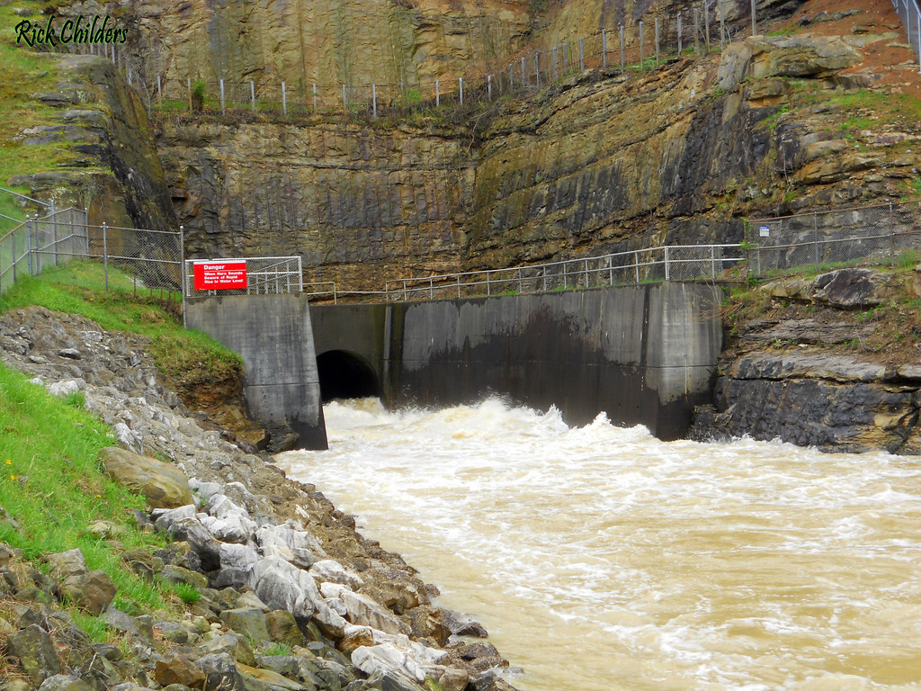
East Lynn Dam Outlet
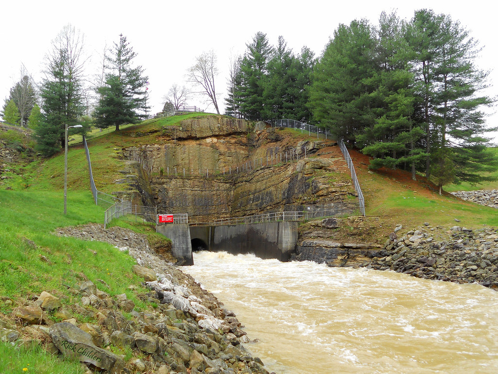
East Lynn Dam

Bridge 902-02

Bridge 903-05

Bridge 903-13

Bridge 903-12

Bridge 903-14

Bridge 901-06

Bridge 903-11

Bridge 901-07

Little rainy, but it's nice.

Hiking #trail #nature #exercise #workout #outdoors

Bridge 903-01
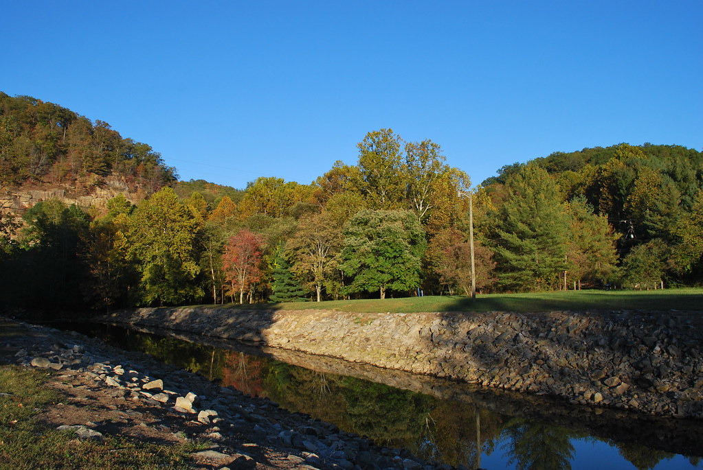
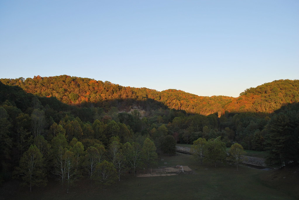
Twelvepole Creek below East Lynn Dam
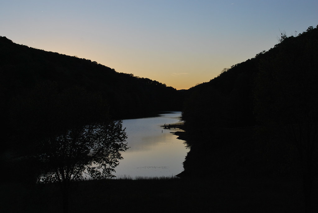
East Lynn Lake
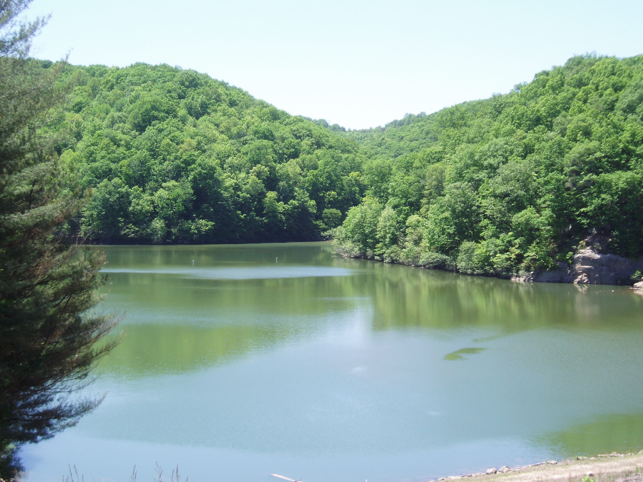
East Lynn Lake: Wayne County: West Virginia

Bridge 902-09
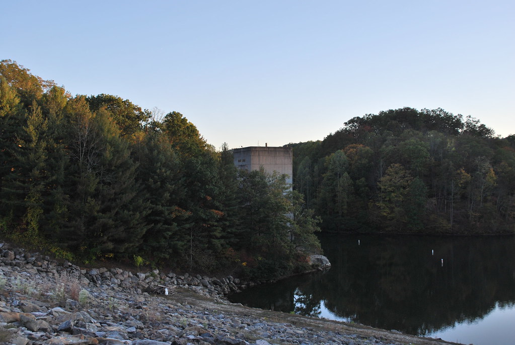
East Lynn Dam

Bridge 903-09
East Lynn Lake: Downstream of Dam

Bridge 903-06
East Lynn Lake
Topographic Map of Beech Fork Rd, East Lynn, WV, USA
Find elevation by address:

Places near Beech Fork Rd, East Lynn, WV, USA:
Campcreek Rd, East Lynn, WV, USA
Murder Hollow
Beech Fork Road
E Lynn Rd, Kiahsville, WV, USA
Cove Creek Road
Branchland
East Lynn
1664 Beech Fork Rd
Marina Rd, East Lynn, WV, USA
1139 Raccoon Creek Rd
Sheridan
1325 Big Lynn Creek Rd
Beech Fork State Park
Long Branch Rd, Barboursville, WV, USA
Union
Salt Rock
Stonewall
Wayne
101 Expo St
Genoa
Recent Searches:
- Elevation of Corso Fratelli Cairoli, 35, Macerata MC, Italy
- Elevation of Tallevast Rd, Sarasota, FL, USA
- Elevation of 4th St E, Sonoma, CA, USA
- Elevation of Black Hollow Rd, Pennsdale, PA, USA
- Elevation of Oakland Ave, Williamsport, PA, USA
- Elevation of Pedrógão Grande, Portugal
- Elevation of Klee Dr, Martinsburg, WV, USA
- Elevation of Via Roma, Pieranica CR, Italy
- Elevation of Tavkvetili Mountain, Georgia
- Elevation of Hartfords Bluff Cir, Mt Pleasant, SC, USA