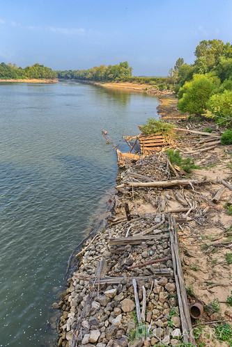
Elevation of Beech Creek, KY, USA

Location: United States > Kentucky > Muhlenberg County >

Longitude: -87.063051

Latitude: 37.1769874

Elevation: 141m / 463feet

Barometric Pressure: 100KPa

Elevation Map:

elevation map of Beech Creek, KY, USA

Satellite Map:

Satellite map of Beech Creek, KY, USA

Related Photos:

railroad train mural downtown kentucky ky small murals trains southern thesouth smalltown railroads westernkentucky centralcity muhlenburgcounty geotaggedkentucky proudofthepast
Proud of the Past... Central City, Kentucky
statepark park blue shadow macro nature leaves closeup forest insect flying leaf moss sticks woods shadows adult natural bright dragonflies dragonfly kentucky ky wildlife parks insects southern stick lichen thesouth predator lichens damselfly brilliant mossy duff animalia damselflies predators mosses wooded shadowed stateparks odonata argia westernkentucky luminescent atrest insecta zygoptera athropoda flyinginsects pseudomacro beneficial narrowwingeddamselflies argiaapicalis bluefronteddancer narrowwingeddamselfly muhlenburgcounty laureltrail lakemalonestatepark lakemalone geotaggedkentucky dragonflyrelative
Lake Malone damselfly...
winter food plants plant industry retail flying inflight mainstreet industrial realestate kentucky ky aviation assignment aerialview warehouse business collegestreet industrialpark greenville aerialphotography warehouses businesses frozenfood foodservice westernkentucky manufacturing frozenfoods bluegrassstate us62 industrialparks muhlenburgcounty baggedmeals ushighway62 gourmetexpress nearcentralcity nearpowderly greenedrive robertldraperway ky189 kyhighway189
Gourmet Express - Greenville, Kentucky (February 2013 aerial assignment)
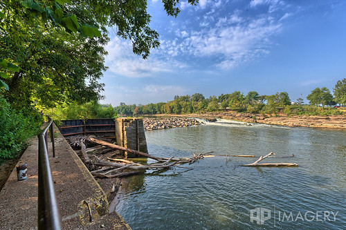
3 abandoned lock dam decay kentucky ky rochester greenriver
Green River Lock & Dam #3 - Rochester
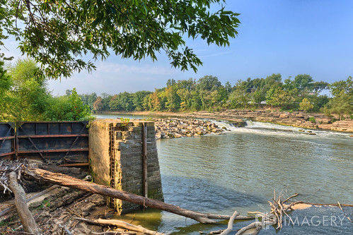
3 abandoned lock dam decay kentucky ky rochester greenriver
Green River Lock & Dam #3 - Rochester
room with no view
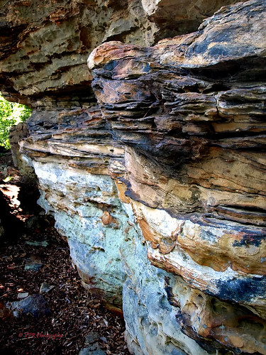
nature rock outdoors natural hiking kentucky ky trails hike rockface trail strata limestone sedimentary shaded rockoutcrop rockbluff muhlenburgcounty laureltrail lakemalonestatepark lakemalone geotaggedkentucky
Lake Malone strata...
autumn fall festival kentucky pumpkins hay greenville clichesaturday squashgobble
lil' pumpkins
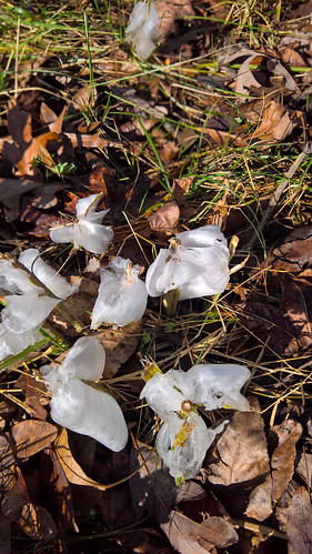
usa us unitedstates kentucky northamerica belton iceflowers iceribbons lumia950
WP_20151122_10_00_09_Rich_LI.jpg
usa us unitedstates kentucky northamerica belton iceflowers iceribbons lumia950
WP_20151122_10_00_16_Rich_LI.jpg
usa us unitedstates kentucky northamerica belton iceflowers iceribbons lumia950
WP_20151122_10_05_23_Pro_LI.jpg
blackandwhite bw clouds rural kentucky hay lakemalone sliderssunday
alone in a crowd
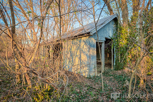
house 3 abandoned home lock dam decay kentucky ky garage historic rochester forgotten greenriver urbanexploring urbex usace lockmaster
Green River Lock & Dam #3 - Garage
blackandwhite usa 3 abandoned water monochrome waterfall lock dam decay kentucky ky rochester greenriver
Green River Lock & Dam #3 - Rochester
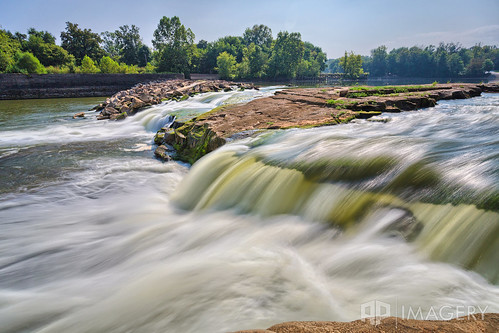
3 abandoned water waterfall lock dam decay kentucky ky rochester greenriver
Green River Lock & Dam #3 - Rochester
3 abandoned lock dam decay kentucky ky rochester greenriver
Green River Lock & Dam #3 - Rochester