Elevation of Bee Tree Rd, Henderson, MD, USA
Location: United States > Maryland > Caroline County >
Longitude: -75.788402
Latitude: 39.076586
Elevation: 20m / 66feet
Barometric Pressure: 101KPa
Elevation Map:
Satellite Map:
Related Photos:

Side view in flight...
Who will sit there?

Pennsylvania Railroad, Maryland, Goldsboro (13,541b)
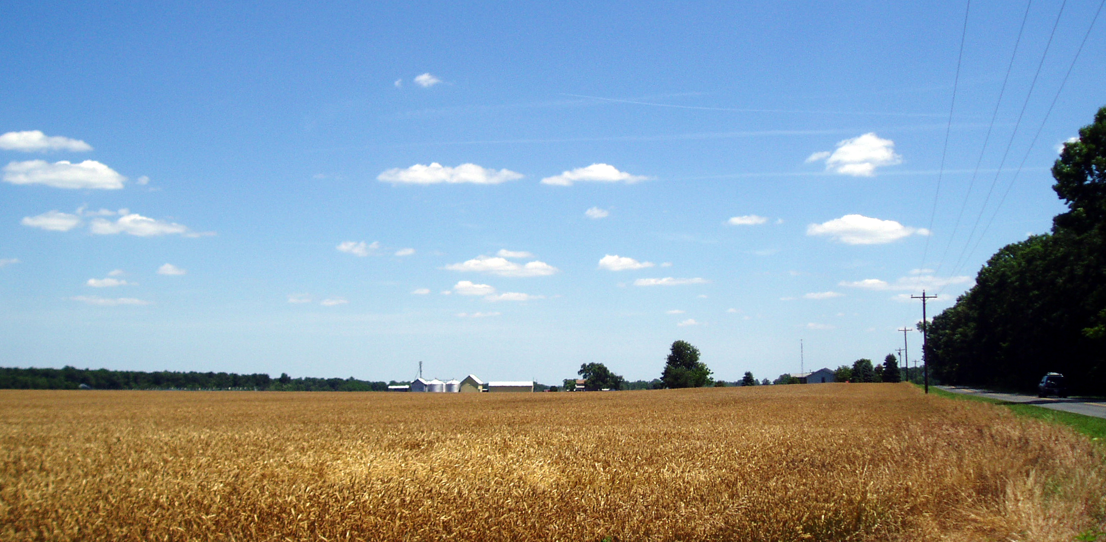
A Sea of Ripe Wheat

Baltimore Oriole back view

Upper Choptank River 2

Back view

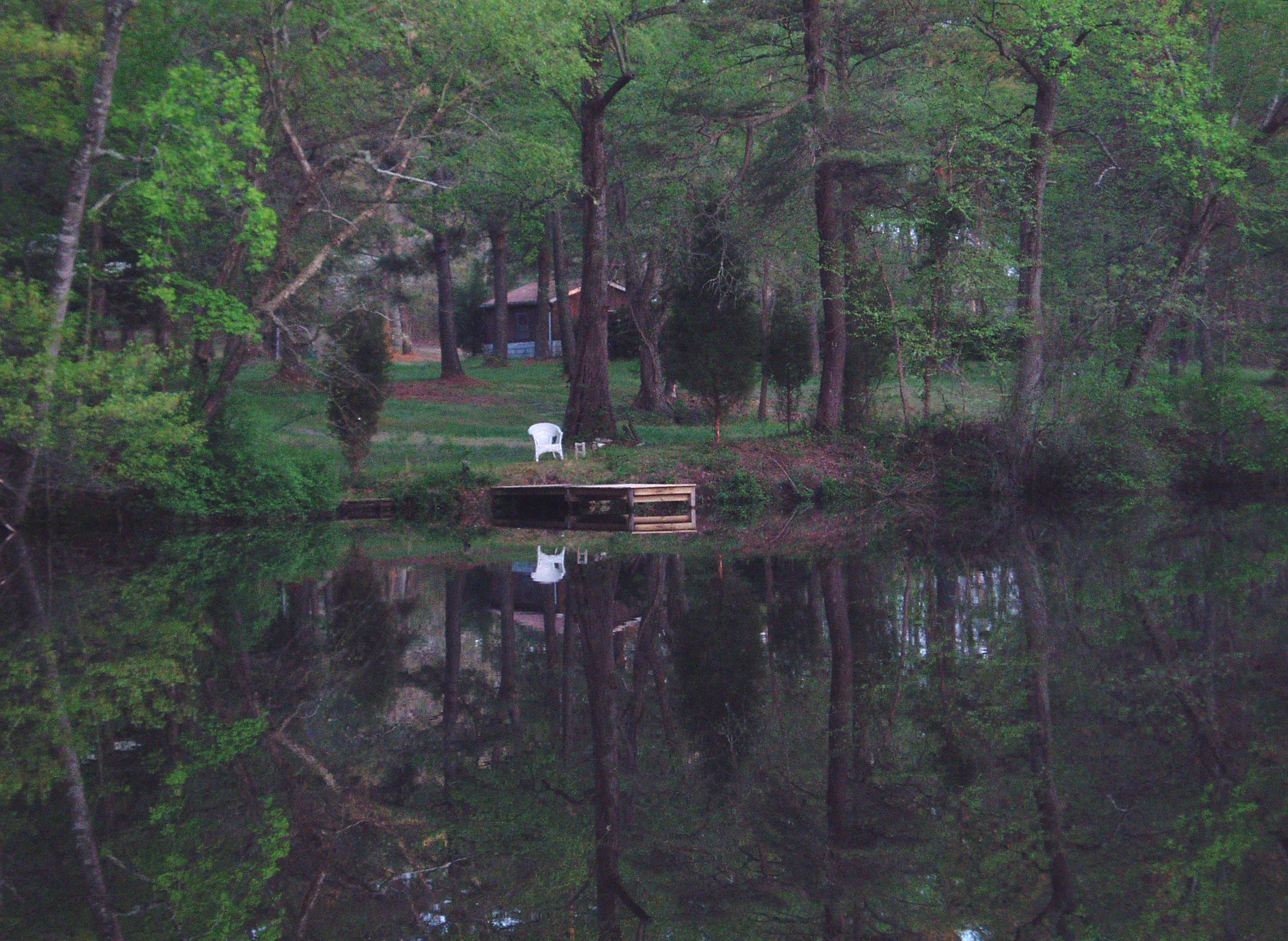
The view before dark

Back view...

Back view
Inside view...

Coopers Hawk 2 -- Explored

Similar view

Yardbirds - White-throated Sparrow front view

Back view

Thistle... back view

Side view
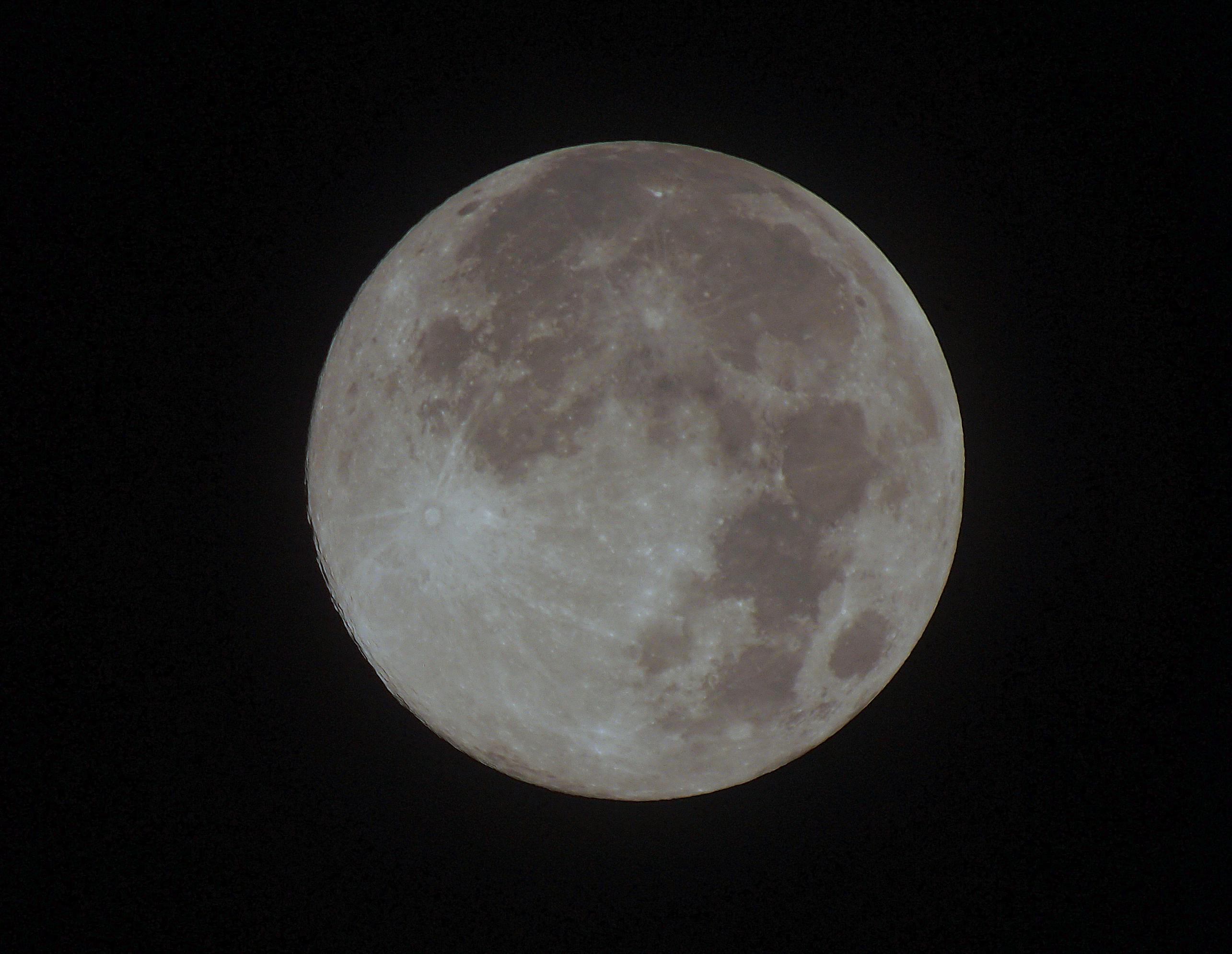
09122011 moon (cropped)

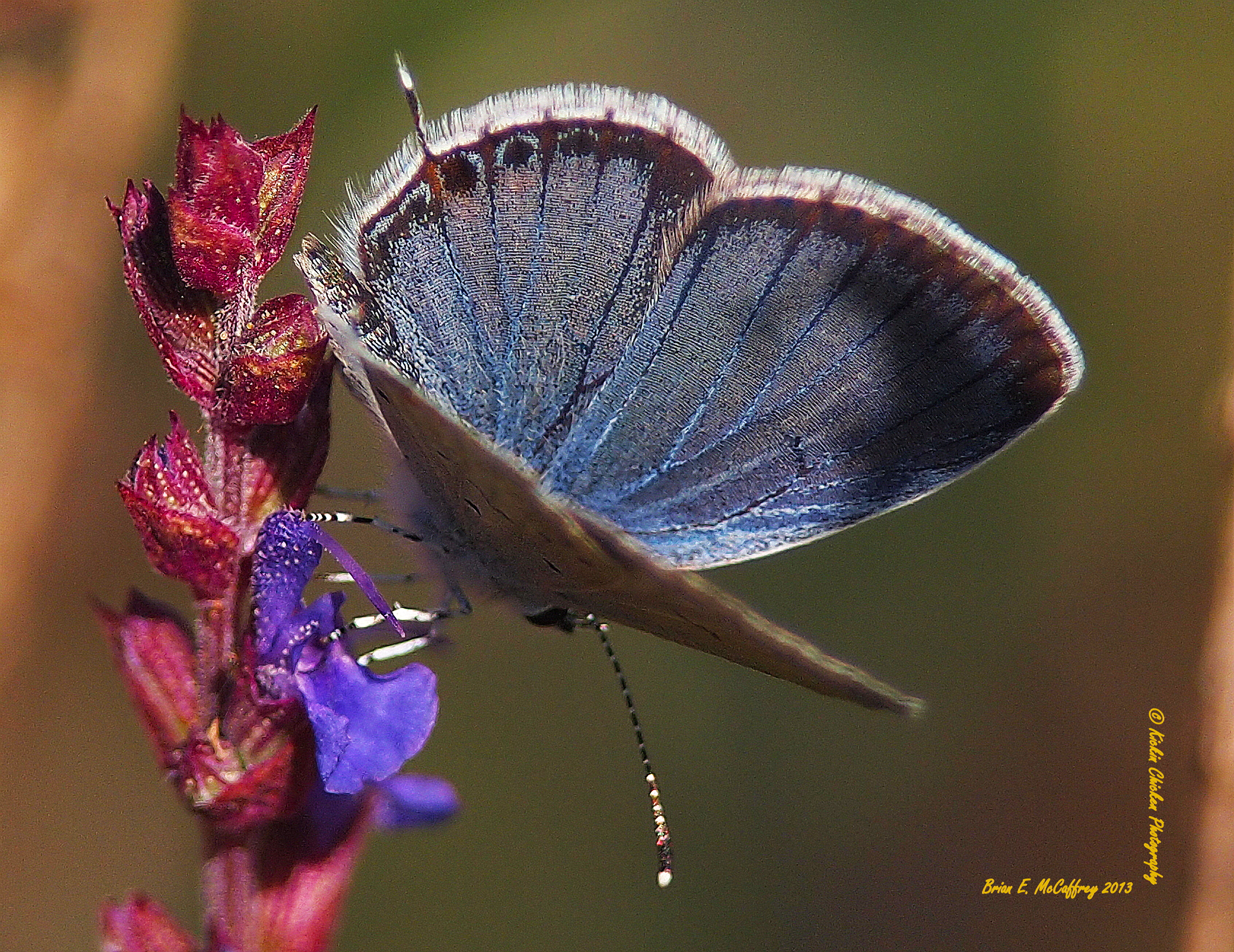
EasternTailed-Blue Butterfly

Emperor Dragonfly in flight

Emperor Dragonfly front view...

Bog on Nick Carter's property in Cariline County, Md. 01
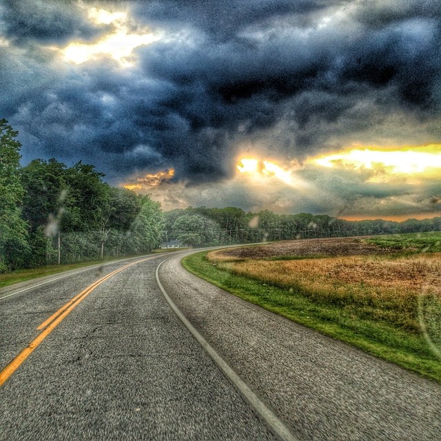
Image created with #Snapseed

Loblolly pines and forest floor looking straight ahead

Many shades of brown...

That's a mouthful... Explored

Snow falling

Butterfly Bush 2

Coming soon...
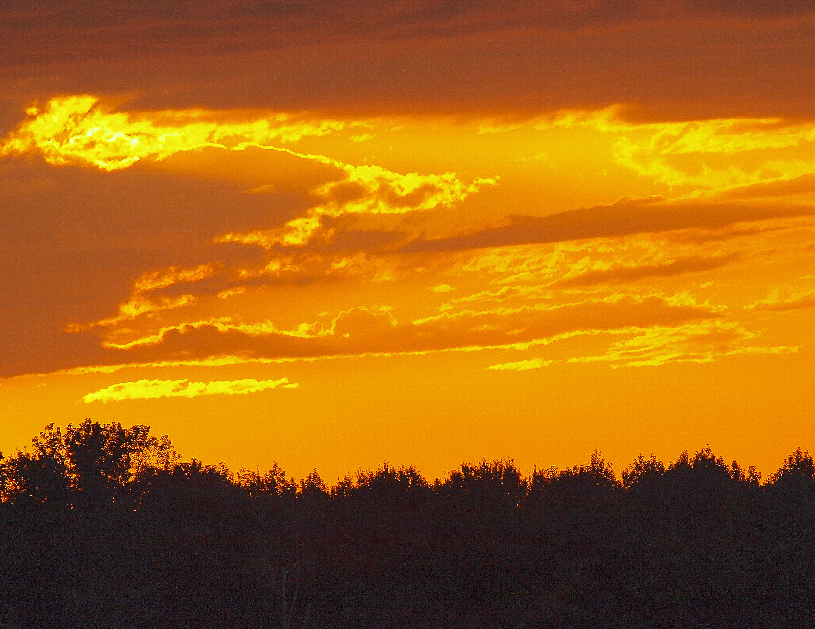
Sunset behind the house

I don't know, what do you think...

Brown Thrasher's other half...

Butterfly Bush

White-throated Sparrow

Quick scan of the area...

Painted Lady

Sparrow again

Clearwing 2

Song Sparrow on Phragmites

White-throated Sparrow

Female Goldfinch

Song Sparrow
Topographic Map of Bee Tree Rd, Henderson, MD, USA
Find elevation by address:

Places near Bee Tree Rd, Henderson, MD, USA:
1, Henderson
316 Cool Spring Rd
Zion Rd, Marydel, MD, USA
Mud Mill Rd, Marydel, DE, USA
Marydel
Marydel
Mud Mill Rd, Camden Wyoming, DE, USA
1096 Rd 224
Willow Grove Rd, Felton, DE, USA
Sandtown
58 Sanders Ln
1, Dixon
1367 Hourglass Rd
Bryants Corner Rd, Hartly, DE, USA
6611 Sudlersville Rd
6611 Sudlersville Rd
Hartly
206 Crystal Rd
Darling Farm Rd, Camden Wyoming, DE, USA
46 Greenbriar Rd, Hartly, DE, USA
Recent Searches:
- Elevation of Corso Fratelli Cairoli, 35, Macerata MC, Italy
- Elevation of Tallevast Rd, Sarasota, FL, USA
- Elevation of 4th St E, Sonoma, CA, USA
- Elevation of Black Hollow Rd, Pennsdale, PA, USA
- Elevation of Oakland Ave, Williamsport, PA, USA
- Elevation of Pedrógão Grande, Portugal
- Elevation of Klee Dr, Martinsburg, WV, USA
- Elevation of Via Roma, Pieranica CR, Italy
- Elevation of Tavkvetili Mountain, Georgia
- Elevation of Hartfords Bluff Cir, Mt Pleasant, SC, USA