Elevation of Bee Branch, 8, Spring Creek, NC, USA

Location: United States > North Carolina > Madison County > 6, Hot Springs > Hot Springs >

Longitude: -82.864029

Latitude: 35.7489915

Elevation: 758m / 2487feet

Barometric Pressure: 93KPa

Elevation Map:

elevation map of Bee Branch, 8, Spring Creek, NC, USA

Satellite Map:

Satellite map of Bee Branch, 8, Spring Creek, NC, USA

Related Photos:

rainbow northcarolina rainbows blueridge blackmountains maxpatch greatsmokies maxpatchmountain
Rainbows over Max Patch
mountain canon asheville bald northcarolina blueridge wnc maxpatch g10
View From Max Patch
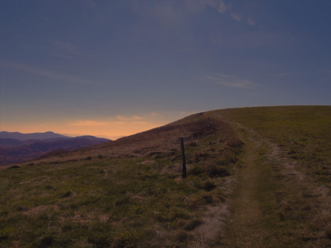
sunset sky nature water beauty museum rural nc alone quiet waterfront path wwii gray navy bald northcarolina trail battleship capefearriver smokeymountains maxpatch “isawyoufirst” spiritofphotography
MAX PATCH BALD
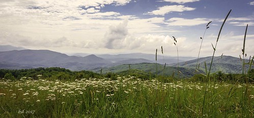
barbdpics sonydscrx100m3 northcarolina maxpatch
The Appalachian Trail
mountains blueridge appalachianmountains at
Very hazy view of Tenn from Max Patch
barbdpics sonydscrx100m3 northcarolina maxpatch ourdailychallenge odc standingout
Celebrating the 4th of July
autumn trees sky mountains color tree fall leaves forest mediumformat leaf maxpatch 100iso agfaoptima hotspringsnc kowasix madisoncountync
max patch
View of Tennessee from Max Patch Bald
barbdpics sonydscrx100m3 northcarolina maxpatch
Max Patch
county autumn trees red sky orange usa mountain storm max mountains fall nature colors weather clouds america forest landscape us nc haze outdoor tennessee united horizon hill great north foliage madison national carolina states mountainside smoky appalachian patch appalachia hdr pisgah foothill
Max Patch, Pisgah Nat'l Forest, Proverbs 10:25
barbdpics sonydscrx100m3 northcarolina maxpatch
The Smokey Mountains
blue autumn trees sky usa lake max mountains green fall clouds america forest us nc haze woods tennessee united great north hills national western carolina states smoky patch pisgah
Max Patch, Romans 1:20
barbdpics sonydscrx100m3 northcarolina maxpatch
View from Max Patch
barbdpics sonydscrx100m3 northcarolina maxpatch
View from Max Patch
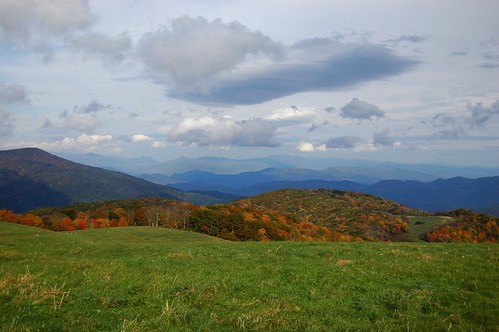
autumn mountain mountains fall outdoors nc tn hiking tennessee exploring border bald northcarolina hike 2012 maxpatch
Fall on Max Patch
mountains geotagged nc view hikes maxpatch mayapples 20050521 geolon8295590 geolat35798200 zensutherland
max patch mayapple fields
mountains outdoors day favorites northcarolina clear 2008 madisoncounty
NC 209 Scenic View
usa max mountains fall grass clouds america us nc view united great north foliage trail carolina miles states smoky appalachian patch smokies
Max Patch, Isaiah 52:10
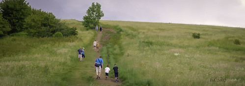
barbdpics sonydscrx100m3 northcarolina maxpatch
Hiking up Max Patch
Early Morning
max patch appalachian harmon den pisgah
Max Patch
soldier gold asheville meadow andrewwyeth maxpatch
tone gold
maxpatch fall colors sky trees mountains ncmountainman d70s phixe lowresolutionversion nikon clouds
Max Patch 03
summer green asheville maxpatch
the emerald city
maxpatch fall colors sky trees mountains ncmountainman d70s phixe lowresolutionversion nikon clouds
Max Patch 01
maxpatch fall colors sky trees mountains ncmountainman d70s phixe lowresolutionversion nikon clouds
Max Patch 02
maxpatch fall trees color field ncmountainman sky d70s phixe lowresolutionversion fallcolors mountainrange nikon clouds
Max Patch 04
county blue autumn trees red orange usa mountain max mountains fall nature colors america forest us nc haze tennessee united horizon hill great north foliage madison national carolina states smoky appalachian patch appalachia pisgah
Max Patch, Pisgah National Forest, Madison County, North Carolina
tennessee northcarolina smokymountainsstreams
Smoky Mountains Streams
camping clouds canon unitedstates outdoor tennessee northcarolina tent f11 appalachiantrail 24105 maxpatch ef24105mmf4lisusm canoneos1dx
Morning on Max Patch
wedding asheville weddingphotography peterlorenz blendphotography
Hurricane Ridge