Elevation of Bedford, VA, USA
Location: United States > Virginia > Bedford County > Center >
Longitude: -79.523087
Latitude: 37.3343079
Elevation: 310m / 1017feet
Barometric Pressure: 98KPa
Elevation Map:
Satellite Map:
Related Photos:
Friday Night Lights

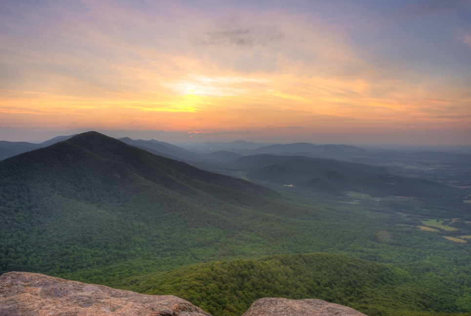
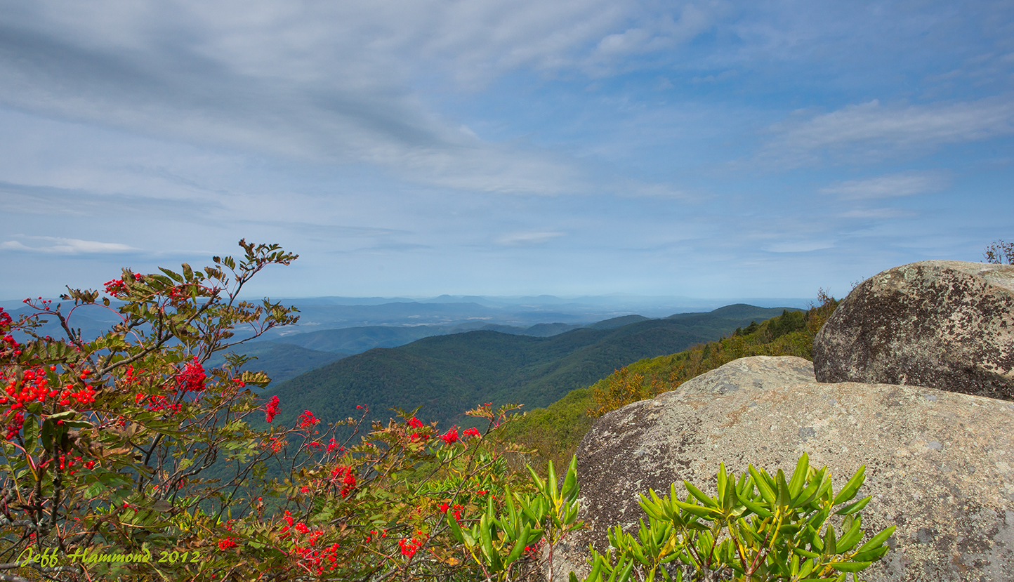
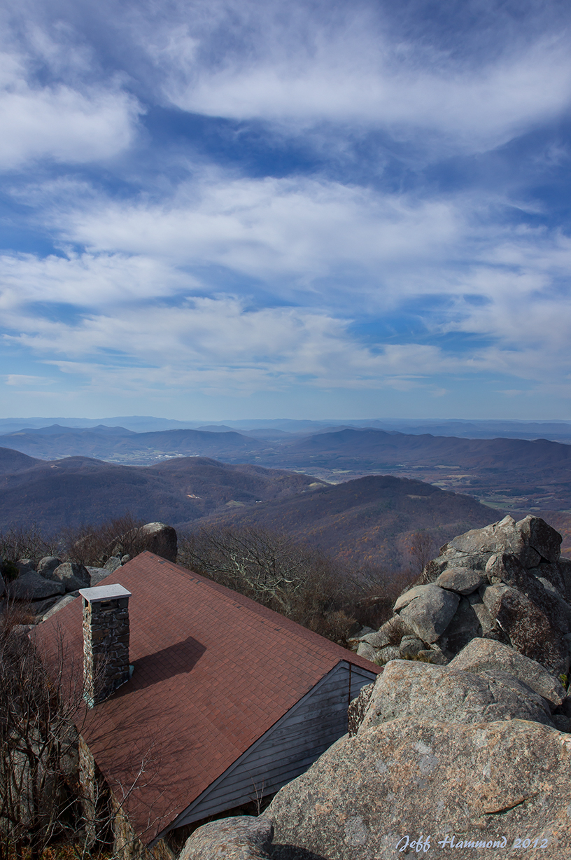
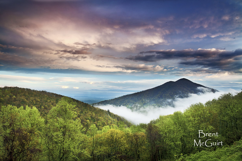
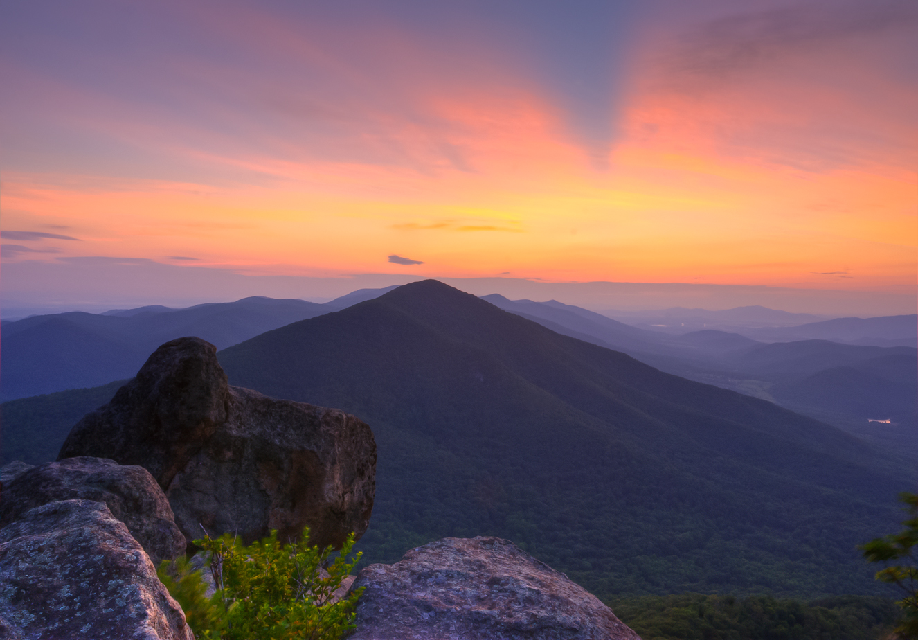
Sharp Top Mountain, Blue Ridge Parkway
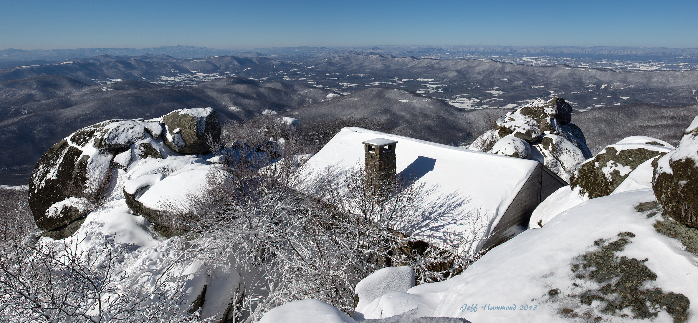
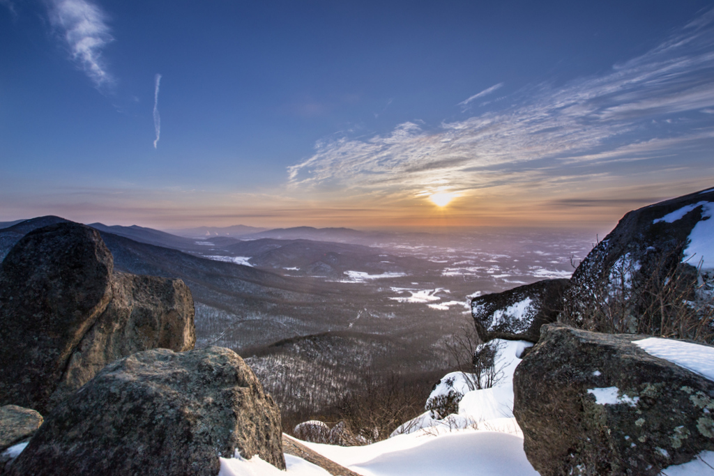
Snowy Sharp Top View
I was breathing Silence this summer - on Top of the World
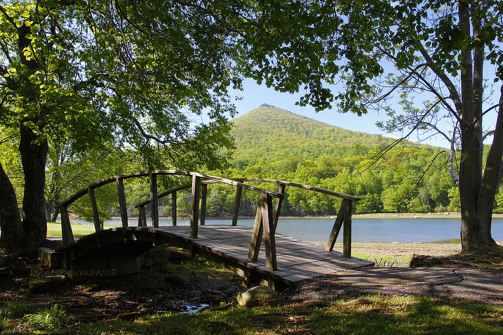
Sharp Top & Abbott Lake - Alternate View
Snowy Sunrise
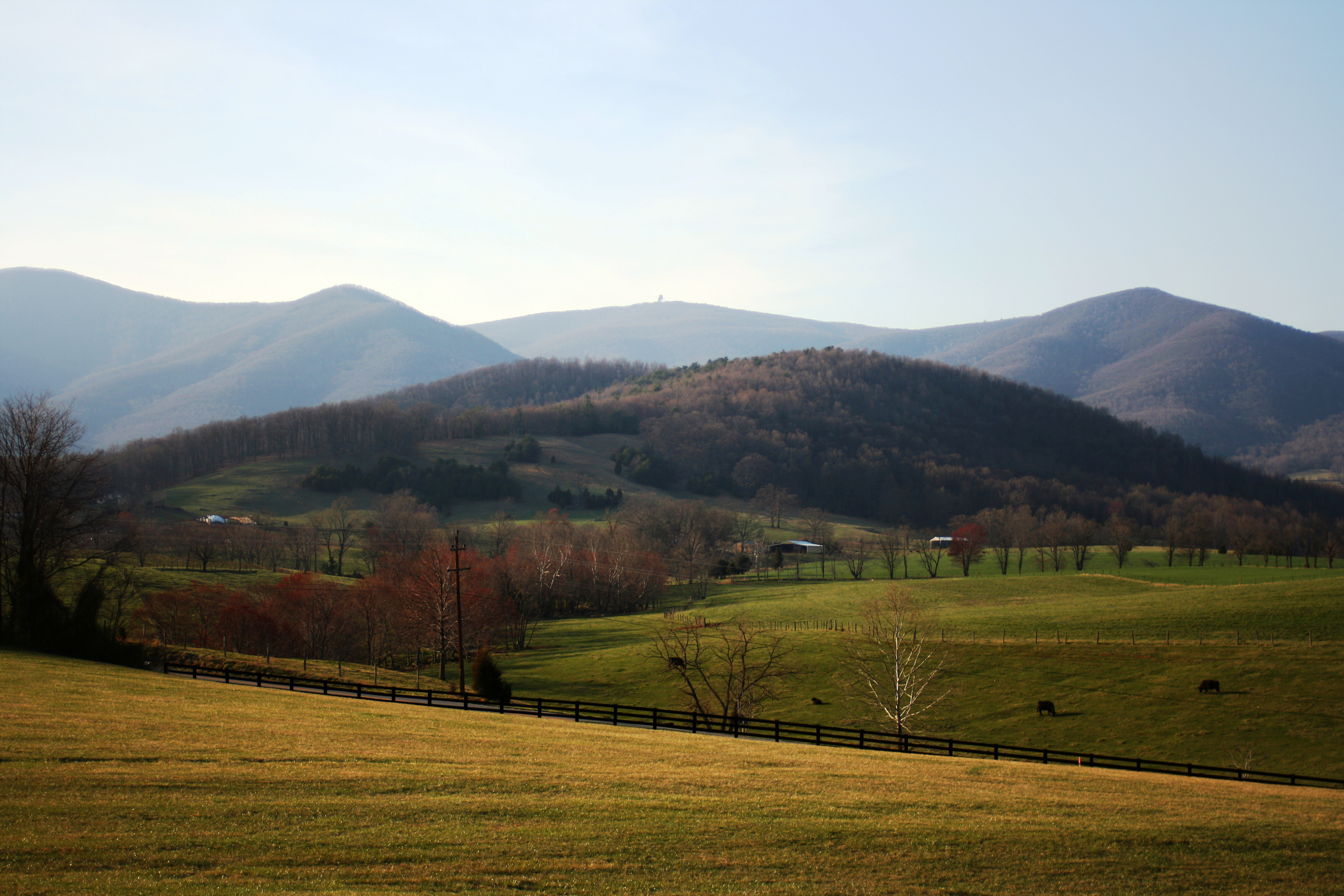
Looking at Flat Top
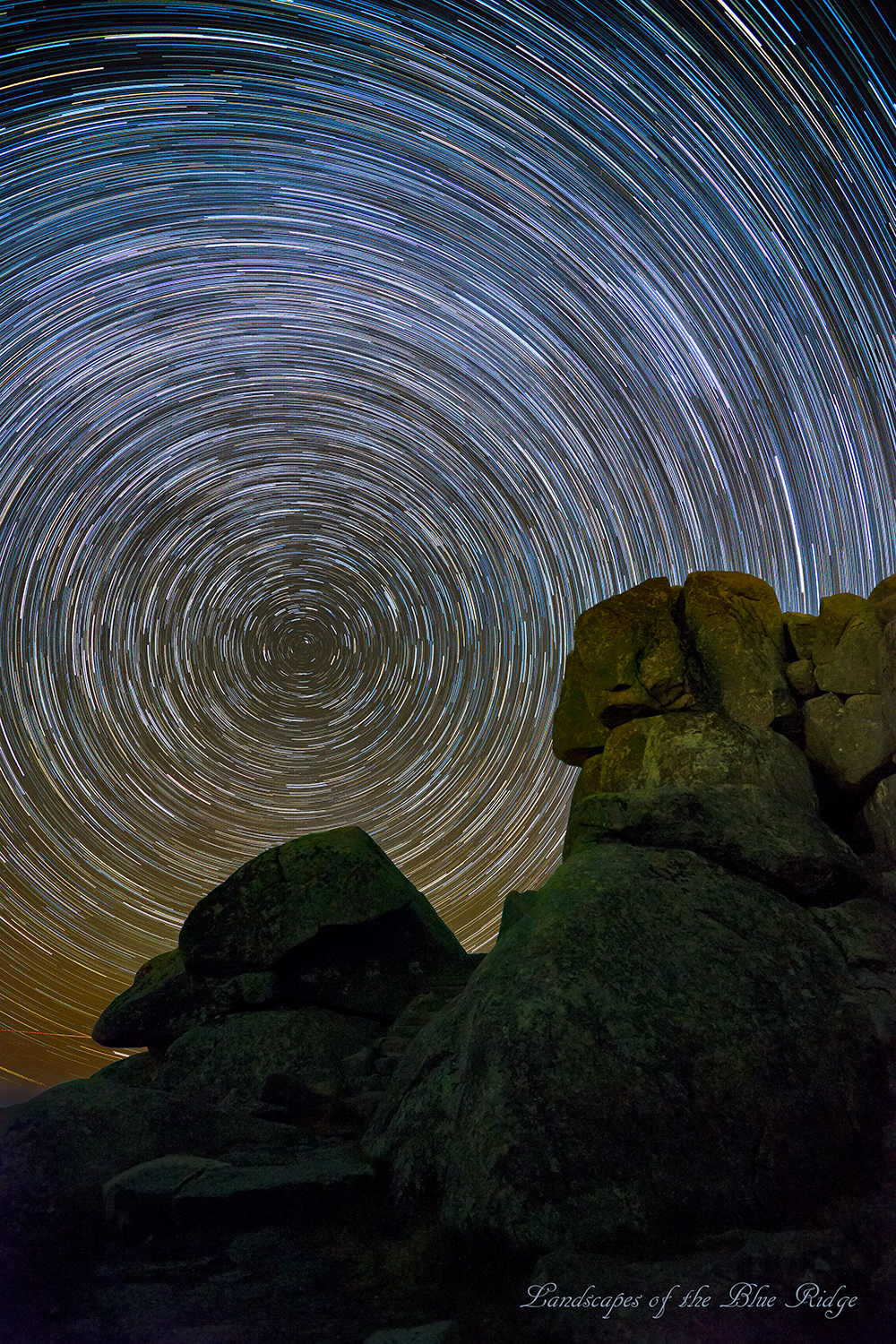
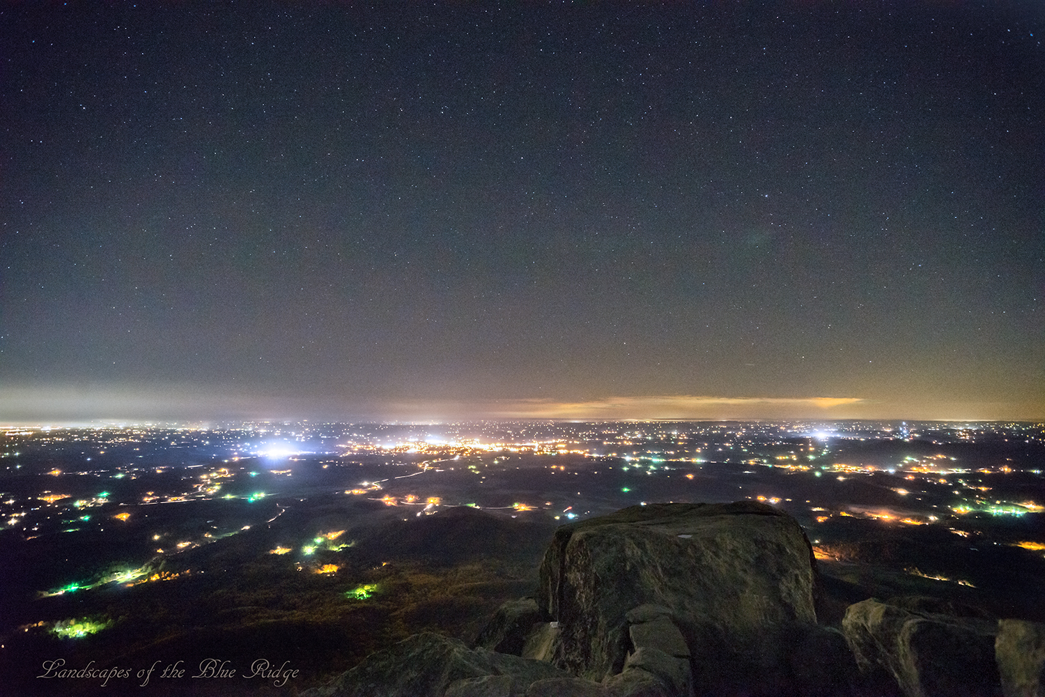
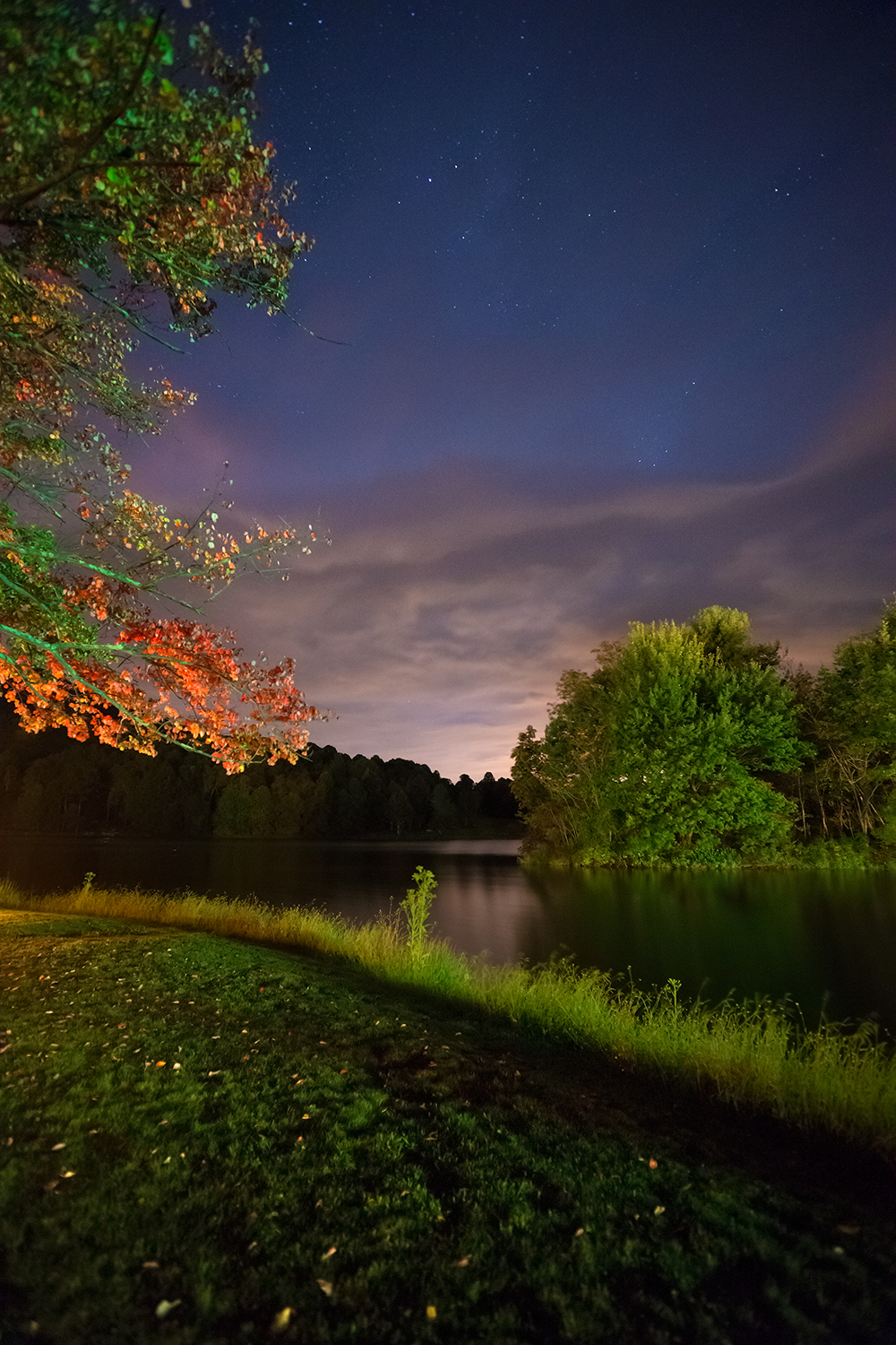
Landscapes in the Darkness
Peaks of Otter, Blue Ridge Parkway, Virginia

Ebb Tide
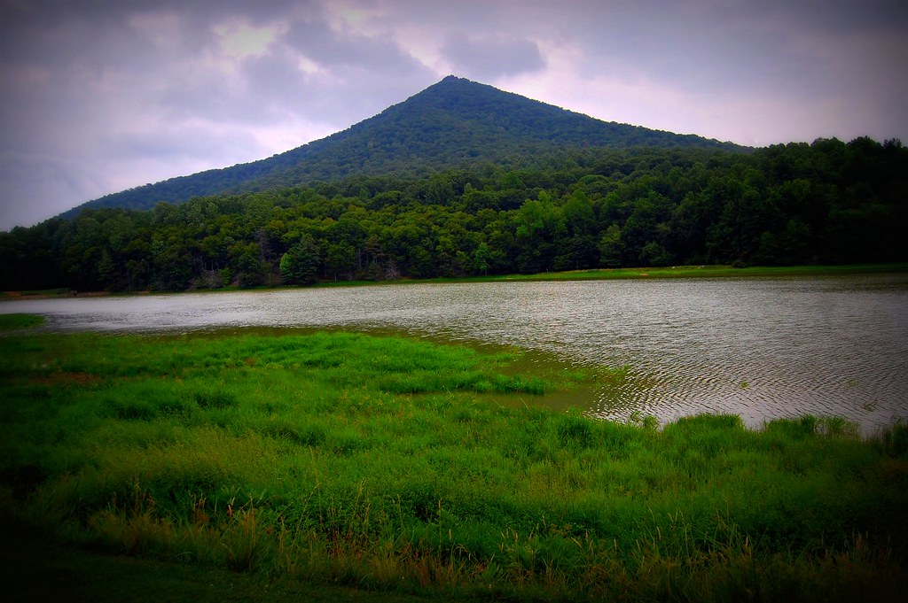
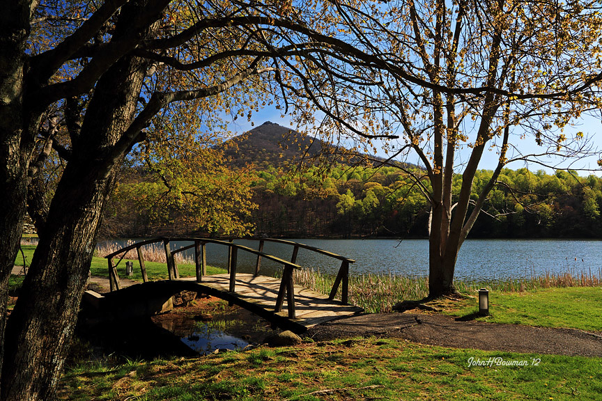
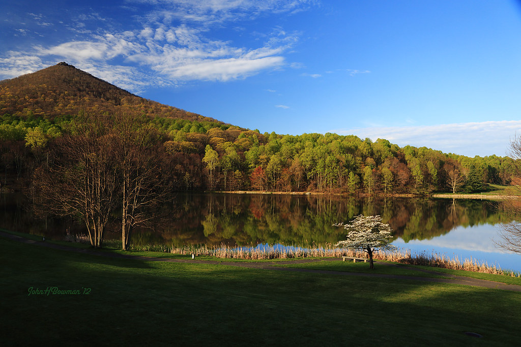
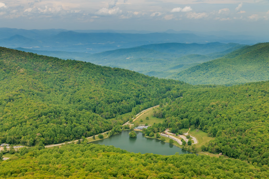
Abbott Lake & Sharp Top Mountain
View from Flat Top
Peaks of Otter Spring Afternoon
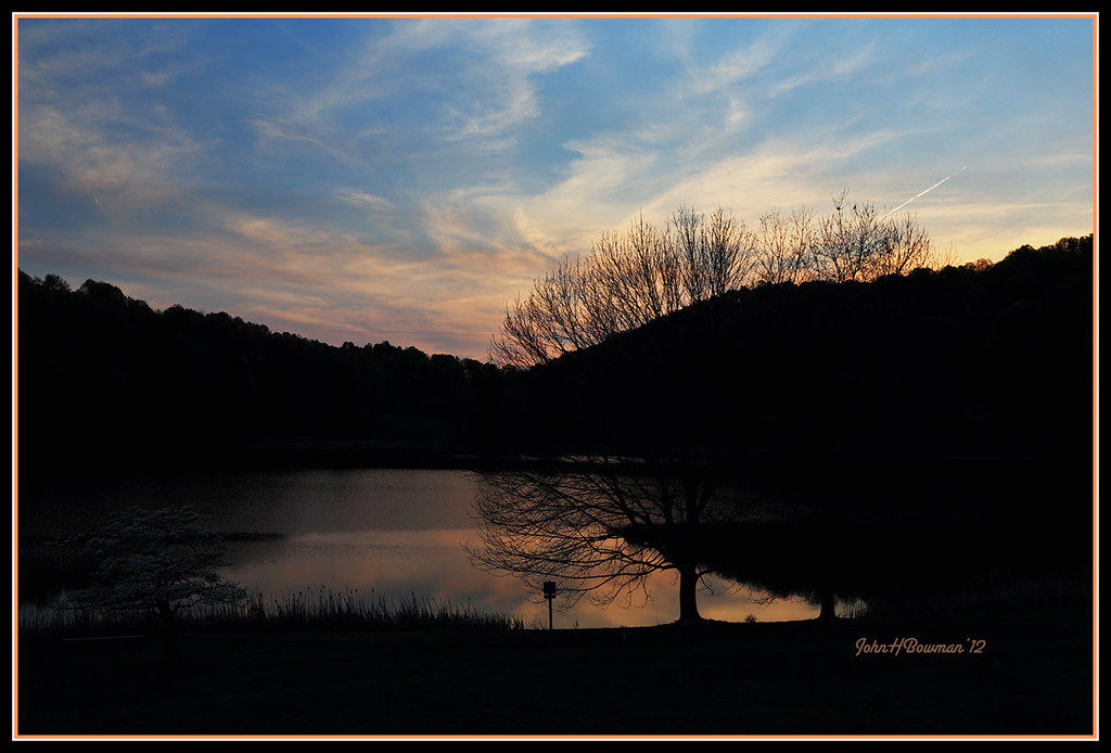
Peaks of Otter Sunset

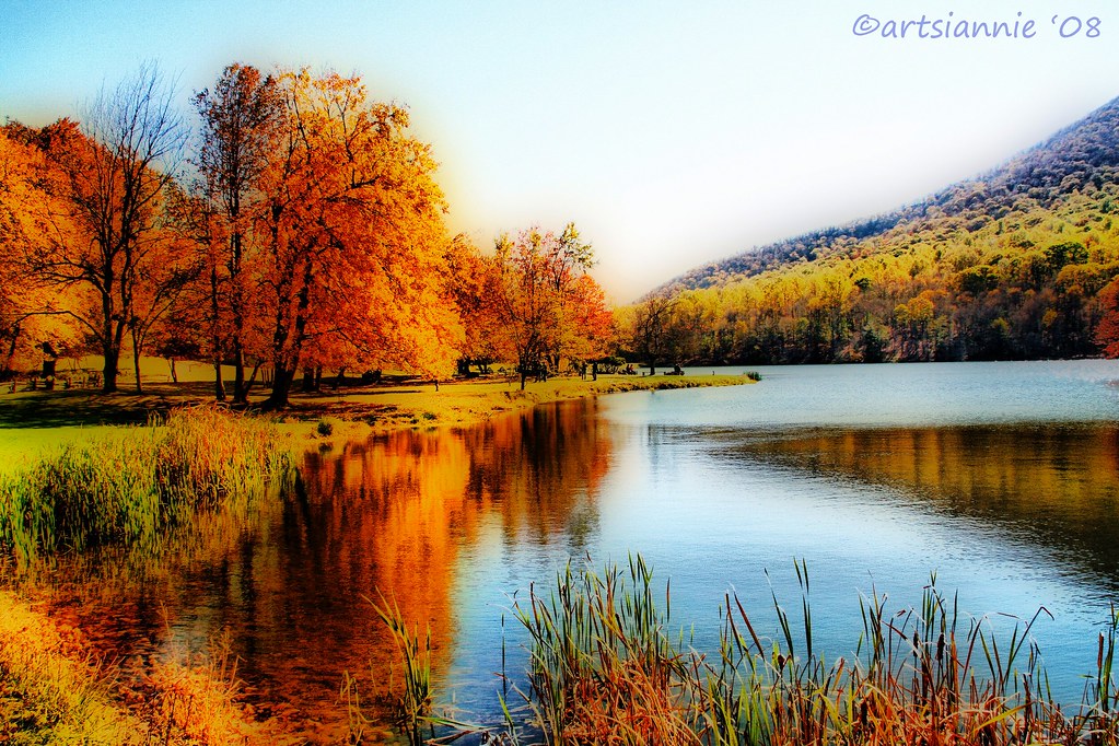
Abbott Lake Reflections
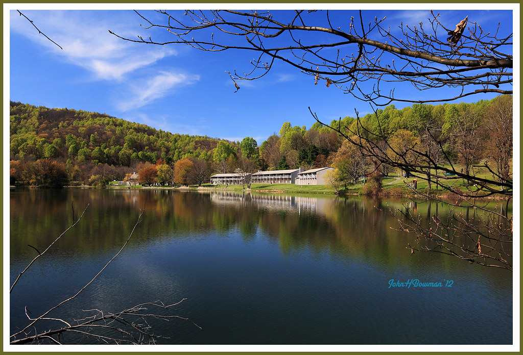
Peaks of Otter Lodge from across Abbott Lake
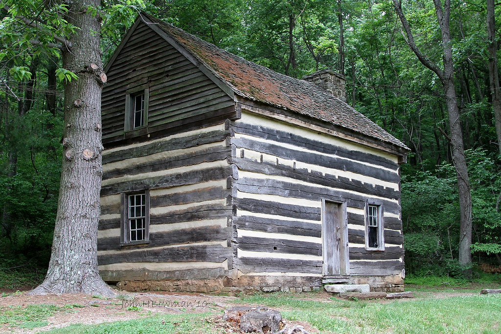
Polly Wood's Ordinary - Blue Ridge Parkway
Swansons' View
Sharp Top & Abbott Lake
Destination for the Masses
Grassy Mountain
The World of Light and Make Believe
Abbott Lake and Peaks of Otter Lodge
Days of Thunder
Abbott Lake
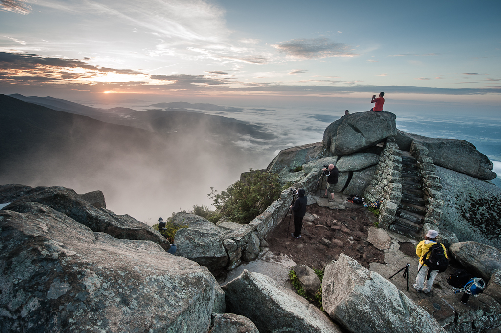
AP Shoot on Sharp Top
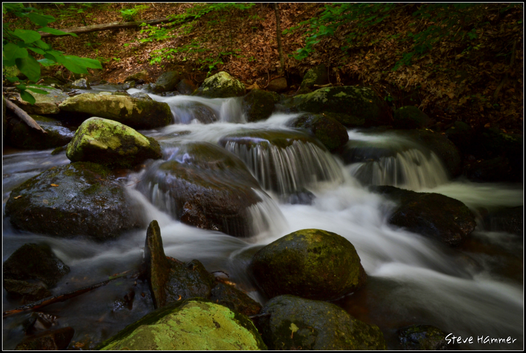
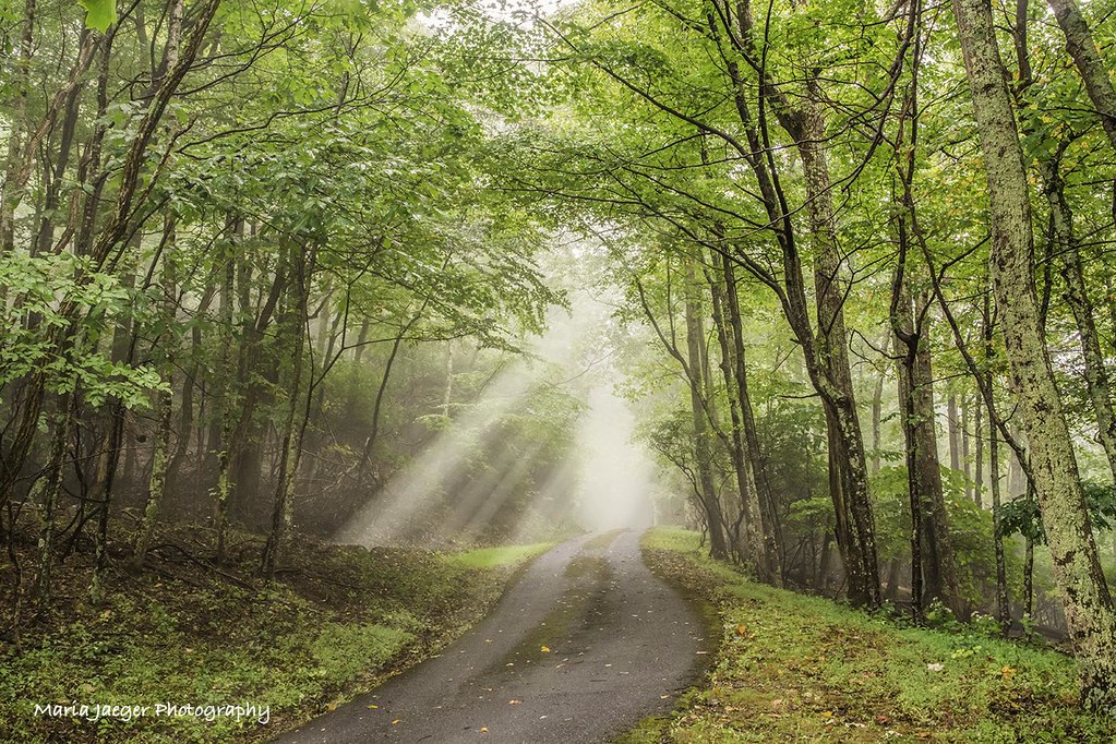
Little Stony Creek

Snowy Sharp Top
Best Sunrise of the Year
Topographic Map of Bedford, VA, USA
Find elevation by address:

Places in Bedford, VA, USA:
Places near Bedford, VA, USA:
909 Peaksview St
1556 Oakwood St
Oakwood St, Bedford, VA, USA
102 Woodcreek Rd
Big Island Hwy, Bedford, VA, USA
1801 Magnolia Dr
3402 Sharps Mountain Rd
Thaxton
2326 Robertson Rd
Big Island Hwy, Bedford, VA, USA
1117 Big Land Dr
3006 Penicks Mill Rd
Flat Top Road
4359 Thaxton Mountain Rd
Sheep Creek Road
352 Robincrest Cir
3234 Taylor Mountain Rd
Tamarack Circle
Irving Rd, Thaxton, VA, USA
Murray Hollow Road
Recent Searches:
- Elevation of Corso Fratelli Cairoli, 35, Macerata MC, Italy
- Elevation of Tallevast Rd, Sarasota, FL, USA
- Elevation of 4th St E, Sonoma, CA, USA
- Elevation of Black Hollow Rd, Pennsdale, PA, USA
- Elevation of Oakland Ave, Williamsport, PA, USA
- Elevation of Pedrógão Grande, Portugal
- Elevation of Klee Dr, Martinsburg, WV, USA
- Elevation of Via Roma, Pieranica CR, Italy
- Elevation of Tavkvetili Mountain, Georgia
- Elevation of Hartfords Bluff Cir, Mt Pleasant, SC, USA