Elevation of Beaverdale Rd NE, Dalton, GA, USA
Location: United States > Georgia > Whitfield County > Dalton >
Longitude: -84.842609
Latitude: 34.920938
Elevation: 218m / 715feet
Barometric Pressure: 99KPa
Elevation Map:
Satellite Map:
Related Photos:

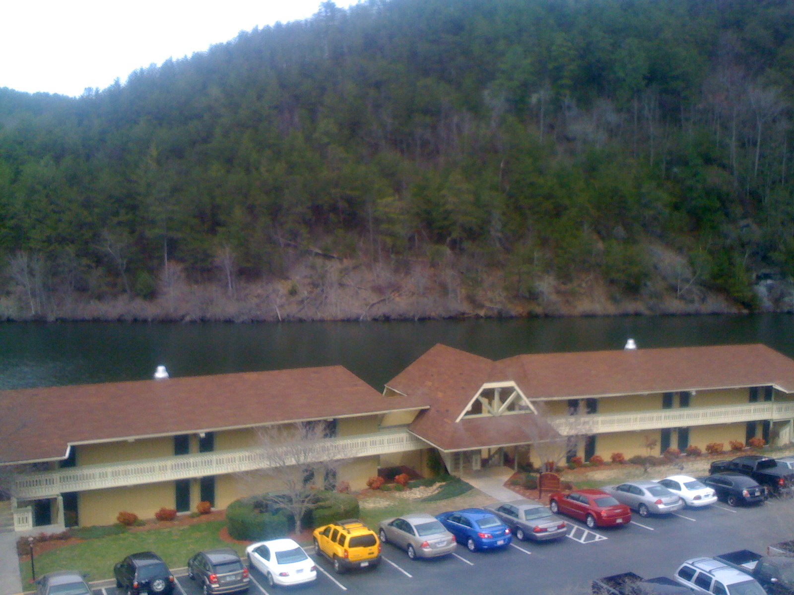
View from our conference room
Cohutta Springs rooms
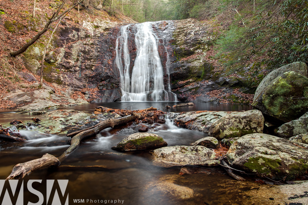
Mill Creek Falls 3

Graves at Liberty Cemetery in Tennga, Georgia

J.M. Dunn
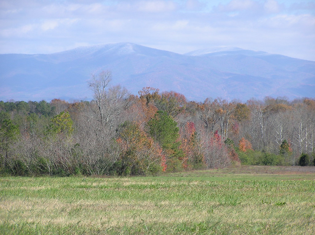
Snow on Fort Mountain, Georgia
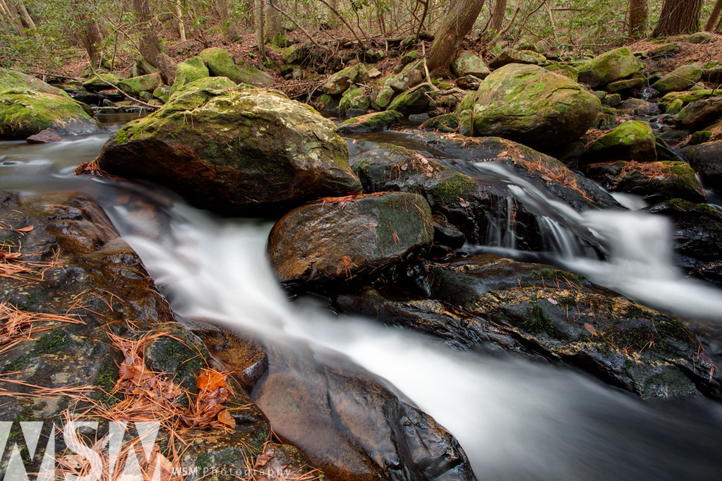
Mill Creek Cascades 2

Clouding Up

Lovely dark and deep

Camera Roll-379

Mill Creek Cascade

My Photo Stream-876

Camera Roll-380
#FortMountainStatePark #Georgia #Chatsworth #Parks

Camera Roll-192

Camera Roll-194
Cohutta Springs - Apr 17th 2008

Camera Roll-792
Camera Roll-771
Camera Roll-193

Mill Creek log
My Photo Stream-877
Walk by the river

Sumach Cumberland Presbyterian Church Cemetery

Polk County, Tennessee
Camera Roll-133
Topographic Map of Beaverdale Rd NE, Dalton, GA, USA
Find elevation by address:

Places near Beaverdale Rd NE, Dalton, GA, USA:
River Road Northeast
Riverdale Rd NE, Dalton, GA, USA
954 Prater Mill Rd Ne
659 Johnson Rd N
Boyles Mill Rd NE, Dalton, GA, USA
Coahulla Creek High School
88 Deer Park Dr
88 Deer Park Dr
GA-2, Dalton, GA, USA
94 Morrison Rd
Ellis Circle
Manis Rd NE, Dalton, GA, USA
599 Pinhook Rd
5104 Cleveland Hwy
Dawnville Rd NE, Dalton, GA, USA
4764 Crandall Ellijay Rd
Cisco
Crandall
15 Mill Creek Rd, Crandall, GA, USA
Cohutta
Recent Searches:
- Elevation of Corso Fratelli Cairoli, 35, Macerata MC, Italy
- Elevation of Tallevast Rd, Sarasota, FL, USA
- Elevation of 4th St E, Sonoma, CA, USA
- Elevation of Black Hollow Rd, Pennsdale, PA, USA
- Elevation of Oakland Ave, Williamsport, PA, USA
- Elevation of Pedrógão Grande, Portugal
- Elevation of Klee Dr, Martinsburg, WV, USA
- Elevation of Via Roma, Pieranica CR, Italy
- Elevation of Tavkvetili Mountain, Georgia
- Elevation of Hartfords Bluff Cir, Mt Pleasant, SC, USA