Elevation of Beaver Dam Rd, Harbeson, DE, USA

Location: United States > Delaware > Sussex County > Harbeson >

Longitude: -75.218796

Latitude: 38.66745

Elevation: 7m / 23feet

Barometric Pressure: 101KPa

Elevation Map:

elevation map of Beaver Dam Rd, Harbeson, DE, USA
Satellite Map:

Satellite map of Beaver Dam Rd, Harbeson, DE, USA

Related Photos:

Seagull Silhouette - Explored (9/17/12)
Doing its job...
square squareformat earlybird iphoneography instagramapp uploaded:by=instagram foursquare:venue=4ab04db1f964a520f96620e3
Enjoying the view
silhouette barn sunrise de outdoors outdoor silo silos delaware lewes lewesde
The Lewes Barn - Explored (4/19/13)
ocean winter bird birds gull raptor shore silverlake falcon prey delaware predator visualart raptors rehobothbeach peregrine birdwatcher ringbilledgull peregrinefalcon impressedbeauty
Feathers Flying
stunningskies
Sunset over the marina
loveit loveitshowoffthread
Early Morning Sun
delaware ringexcellence dblringexcellence
Cape May - Lewes Ferry Wall
ocean nature de outdoors nikon outdoor dunes dune delaware capehenlopen capehenlopenstatepark nikond7000
Early Morning Tranquility
nikon structure nikond7000
Artwork in Framing
Great Blue in Flight
fishing delaware delawarebay lewesde ringexcellence dblringexcellence
Fishing on the wall - B&W
outdoors nikon rehobothbeach nikond7000
My Son - Ghostly Portrait
riley loveit 1950riley ringexcellence dblringexcellence tplringexcellence eltringexcellence
The 1950 Riley
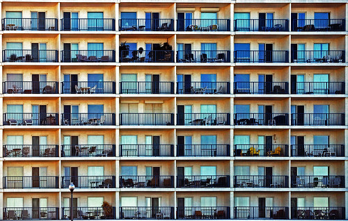
windows beach floors hotel nikon rooms perspective resort delaware rehoboth rectangles floots d5000
Rooms With A View
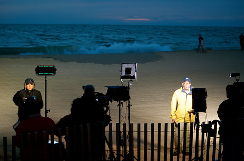
news outdoors alroker rehobothbeach nbcnews theweatherchannel stephanieabrams hurricanesandy alrokerstephanieabrams
Al, Stephanie & Crew
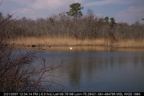
geotagged geo:lat=38793858 geo:lon=752813476666667
Swan at Tranquil Trail Cache
Bosco Relaxing (Explored 7/10/12)
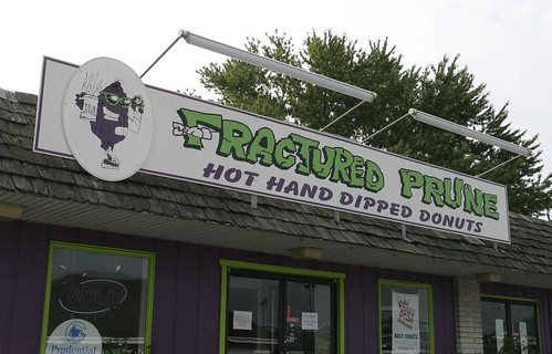
food sign donut delaware fracturedprune rehobothbeachde
Fractured Prune Sign
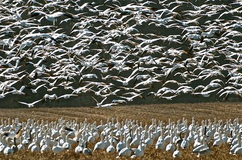
nature outdoors geese nikon delaware lewes snowgeese shorebirds lewesde nikond7000
Above & Below
ocean beach nature sunrise de outdoors nikon outdoor dunes dune delaware capehenlopenstatepark nikond7000
The Dunes of Cape Henlopen
Geese above the grasses - Explored (12/28/13)
sunset panorama tower beach grass de geotagged interestingness pano dune wwii towers panoramic rehoboth stitched rehobothbeach capehenlopen delawre lookouttowers capehenlopenstatepark justinnixonphotography
_NP_6076-Edit.jpg
All in a Row
from beach da
LEWES SUNSET : WHEN THE COWS COME HOME - 11.02.2012
Rehoboth Canal
Lewes Harobr
de nikon lewes
sparkle... (Explored Nov 18, 2011)
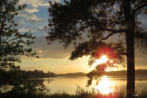
sunset sun tree water clouds sunrise river landscape outdoors delaware waterscape
095 Sunset on Indian River Dagsboro, DE USA
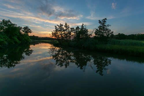
sunset home creek reflections lewes canarycreek
Sunset Reflections Canary Creek (Lewes, DE)
square lofi squareformat iphoneography instagramapp uploaded:by=instagram foursquare:venue=4ab04db1f964a520f96620e3
The Atlantic
Brilliant Colors
Night Fish
square squareformat iphoneography instagramapp uploaded:by=instagram foursquare:venue=4c22136a9390c9b680ebc9cd
Sunrise ...
kimber vansant
img211.jpg
light water fog sunrise river de landscape gold dawn cove steam shore highkey delaware curve herringcreek leadingline harbeson pinewaterfarms
Gilded Grasses.
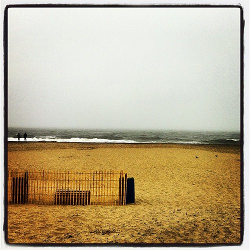
Cold Day at the Beach
camera people events places delaware rehoboth nikond80 ©lancerogers biketothebay2009
RehobothB2B_20091003_386_edited-1
camera people places delaware nikond80 rehoboth20080811001 ©lancerogers
Rehoboth_0033_edited-1
from beach da
From Da Beach : Burnin' Sky - raw (set) 2
square squareformat hudson iphoneography instagramapp uploaded:by=instagram foursquare:venue=4cd6e5affb5954813b81e650
A little overcast
Sunset Reflections