Elevation of Beartooth Highway, Beartooth Hwy, Wyoming, USA
Location: United States > Wyoming > Cody >
Longitude: -109.74005
Latitude: 44.9324169
Elevation: 2137m / 7011feet
Barometric Pressure: 78KPa
Elevation Map:
Satellite Map:
Related Photos:
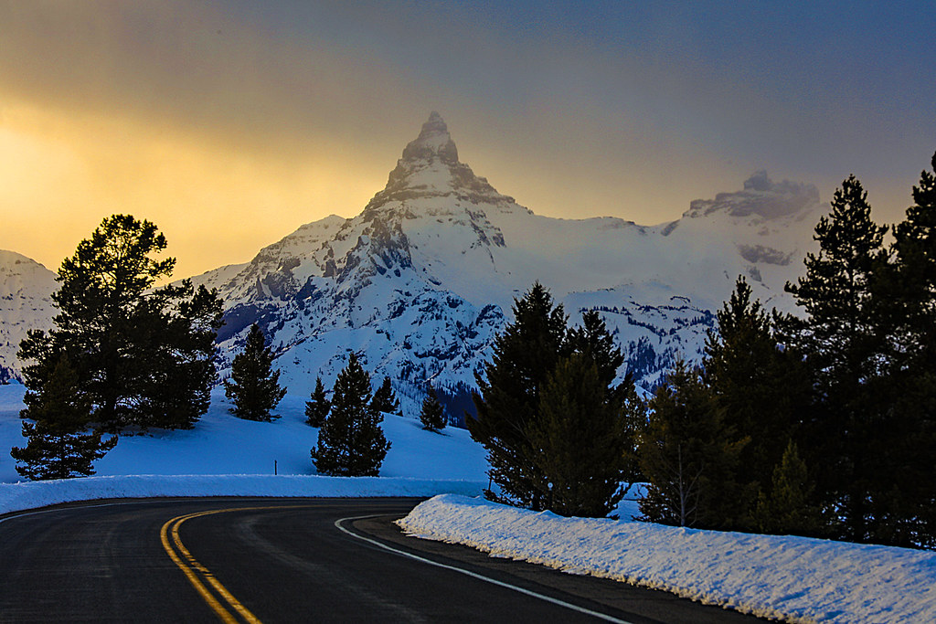
Peaks At Sunset

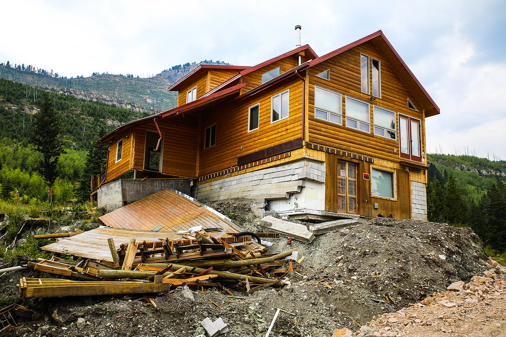
Summer Homes In Winter

Last Light On Cathedral Cliffs

Looking Down The Clarks Fork Valley in Winter

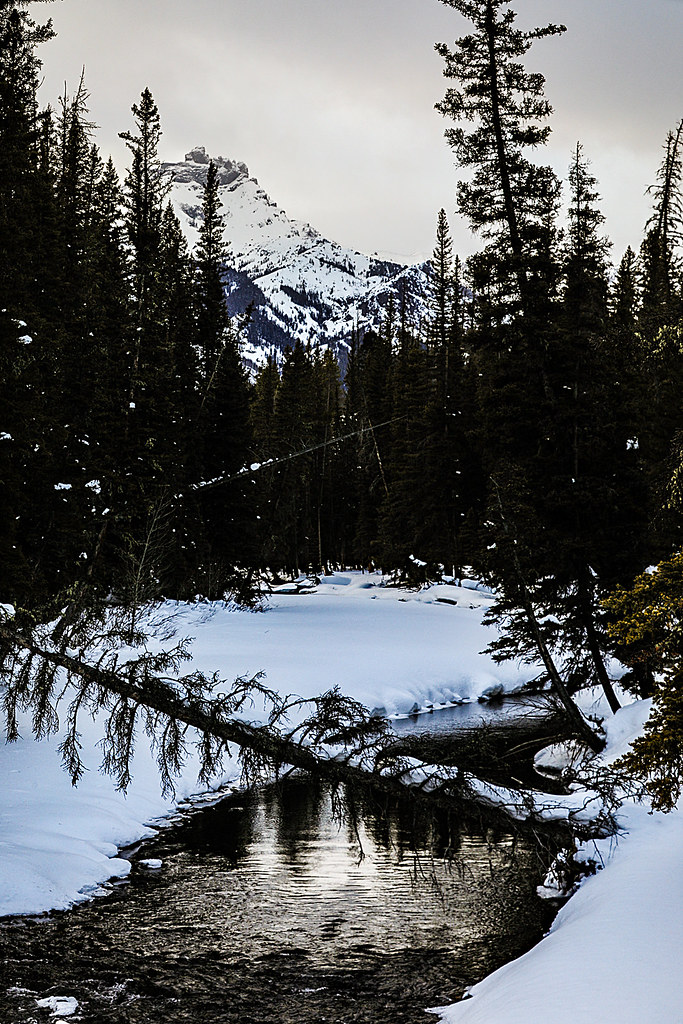
Mountain Stream

Absaroka Mountains

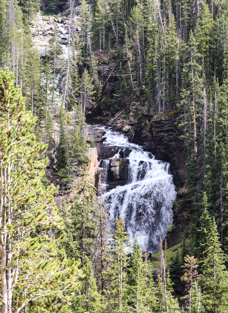
Lake Creek Falls
Damaged Cabin On Edge Of Mudslide

Caught In A Mudslide

The Hunter Peak Mud Flow

Absaroka Mountains - Wyoming

Beartooth Butte

Beartooth View 2
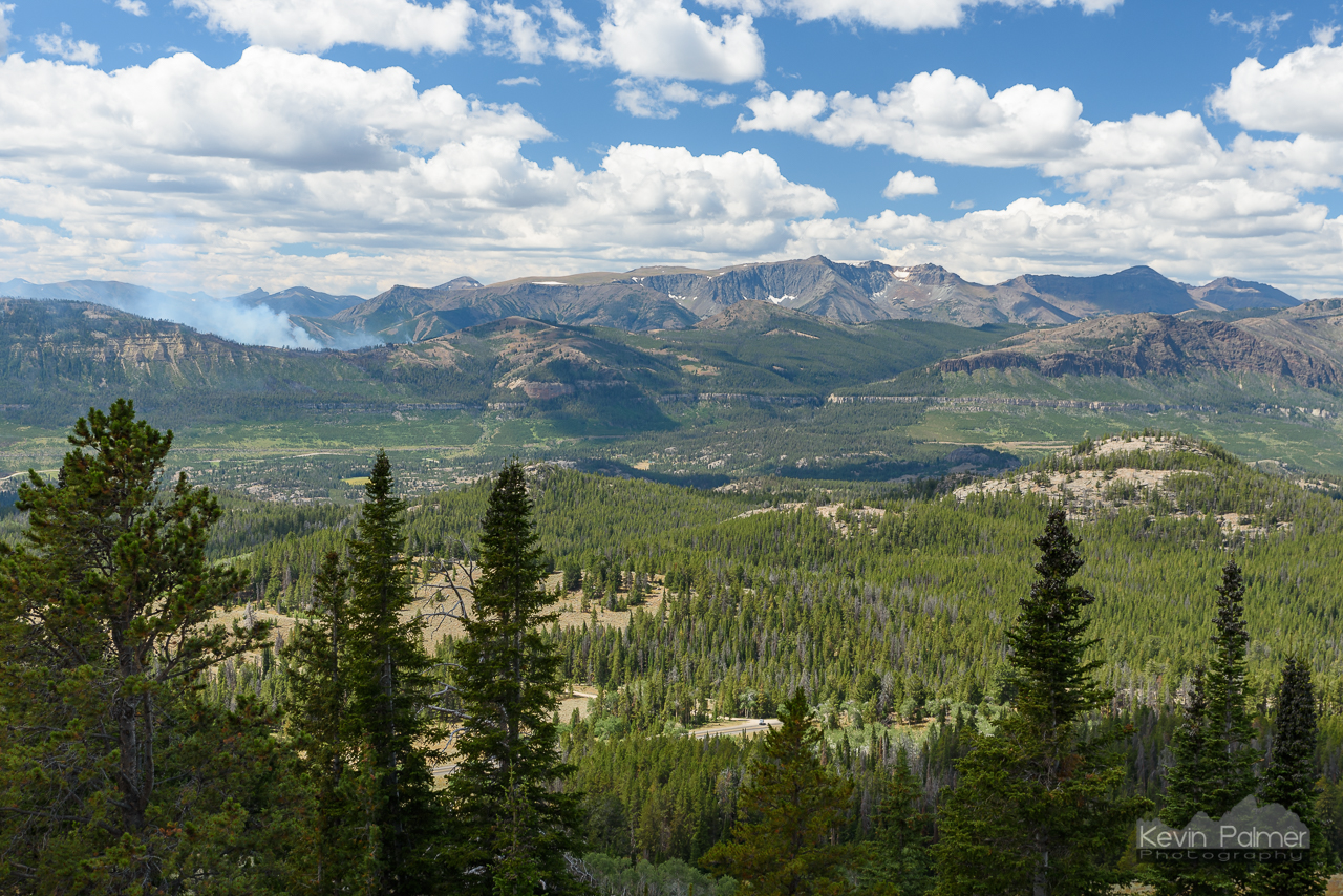
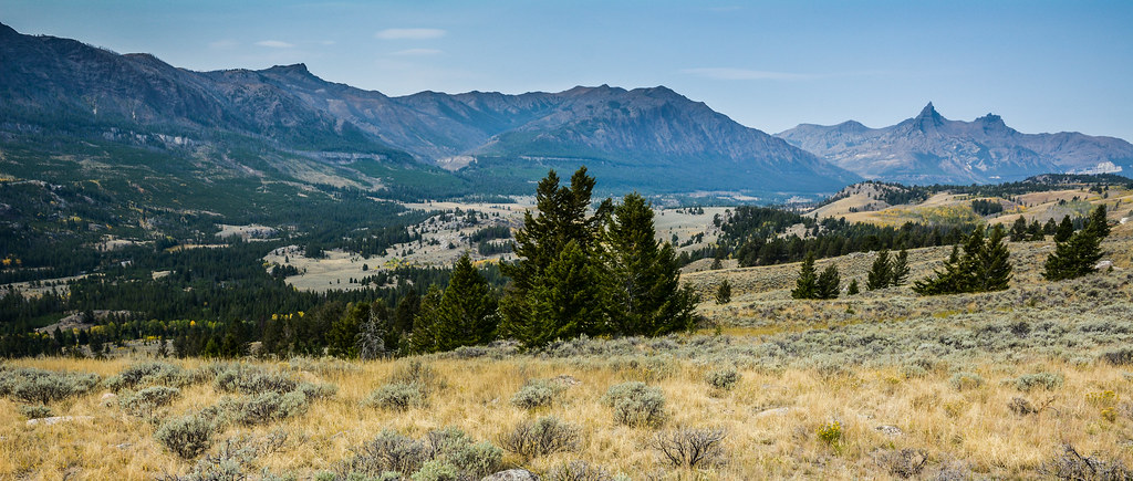
Absaroka Valley

Afternoon Near Crandall
Index Peak and River

Clarks Fork In Winter
Beartooth Falls

Lake Creek "Chute"

Lake Creek Falls

What A View This Tree Has..
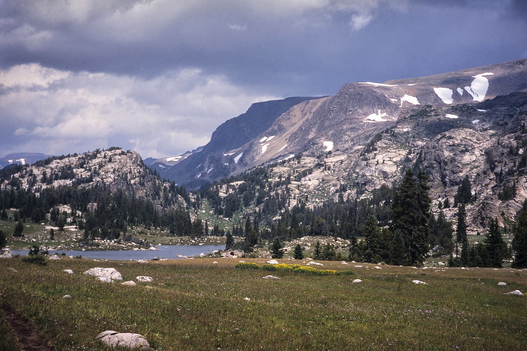
Beartooth Range

Pilot Peak Wyoming

Top of the World - Beartooth

Crazy Creek Falls Beneath Gathering Clouds
Landscape in Yellowstone National Park, Wyoming, USA

The Crack of Dawn

Beartooth Butte

Beartooth Butte

A Summer Day
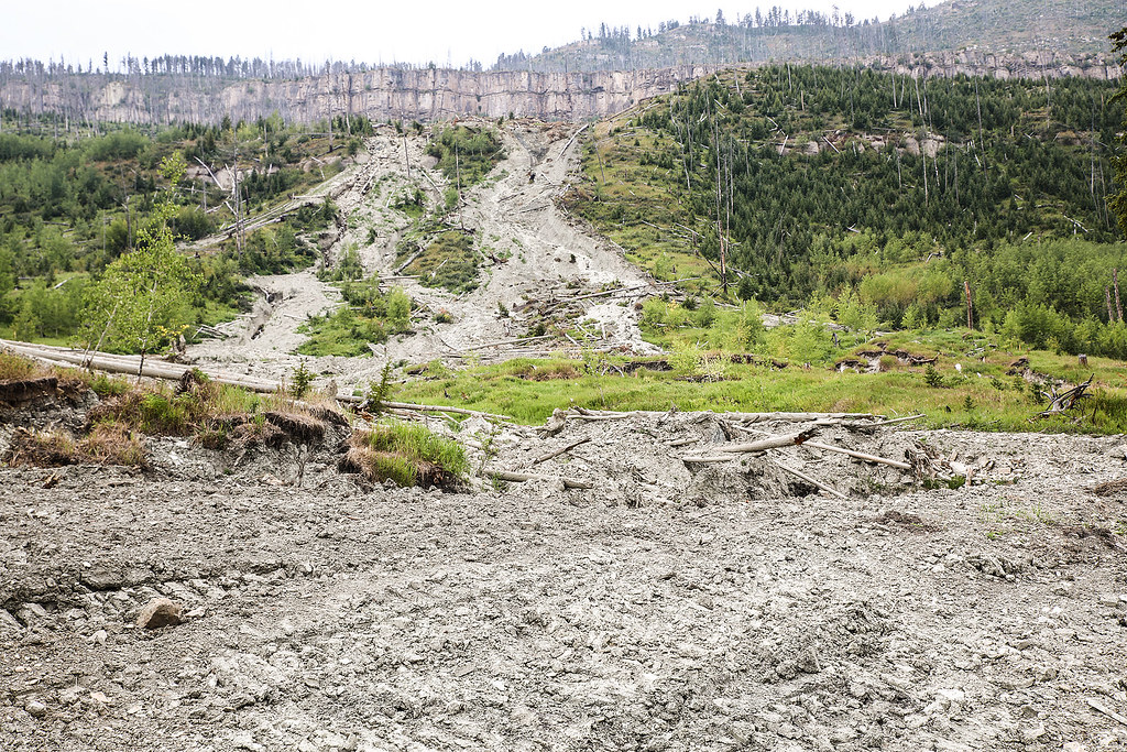
Hunter Peak Mud Flow

Pilot Peak

Cabin Split In Pieces
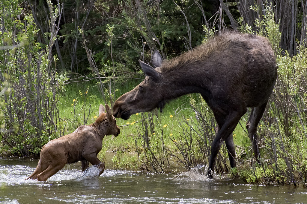
Moose and Calf Cross Clark's Fork
Topographic Map of Beartooth Highway, Beartooth Hwy, Wyoming, USA
Find elevation by address:

Places near Beartooth Highway, Beartooth Hwy, Wyoming, USA:
Lamar Valley
Pahaska Tepee Resort
Creekside Lodge At Yellowstone
Lamar Ranger Station
Northeast Entrance Road
Lamar River
Eagle Peak
Tower Junction
Roosevelt Lodge
Tower Ranger Station Rd, Yellowstone National Park, WY, USA
Lake Butte Overlook
Petrified Tree
Mount Washburn
Fishing Bridge Rv Park
Lake Lodge
1 Grand Loop Rd
1 Grand Loop Rd, Yellowstone National Park, WY, USA
Yellowstone Lake
Inspiration Point
Lake Yellowstone Hotel
Recent Searches:
- Elevation of Corso Fratelli Cairoli, 35, Macerata MC, Italy
- Elevation of Tallevast Rd, Sarasota, FL, USA
- Elevation of 4th St E, Sonoma, CA, USA
- Elevation of Black Hollow Rd, Pennsdale, PA, USA
- Elevation of Oakland Ave, Williamsport, PA, USA
- Elevation of Pedrógão Grande, Portugal
- Elevation of Klee Dr, Martinsburg, WV, USA
- Elevation of Via Roma, Pieranica CR, Italy
- Elevation of Tavkvetili Mountain, Georgia
- Elevation of Hartfords Bluff Cir, Mt Pleasant, SC, USA