Elevation of Beard St, Port Huron, MI, USA
Location: United States > Michigan > St. Clair County > Port Huron >
Longitude: -82.430901
Latitude: 42.9585013
Elevation: 183m / 600feet
Barometric Pressure: 99KPa
Elevation Map:
Satellite Map:
Related Photos:
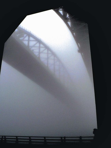
In awe of the fog
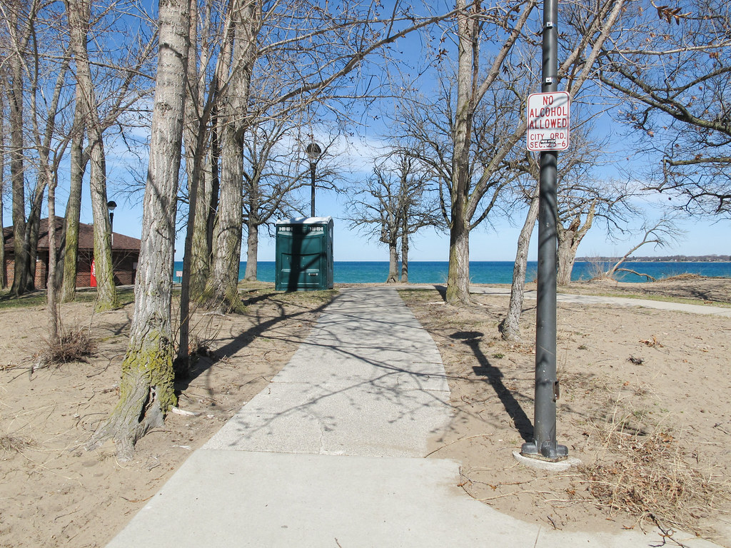
Walking to Lake Huron and stopping at the bathroom on the way, without alcohol.
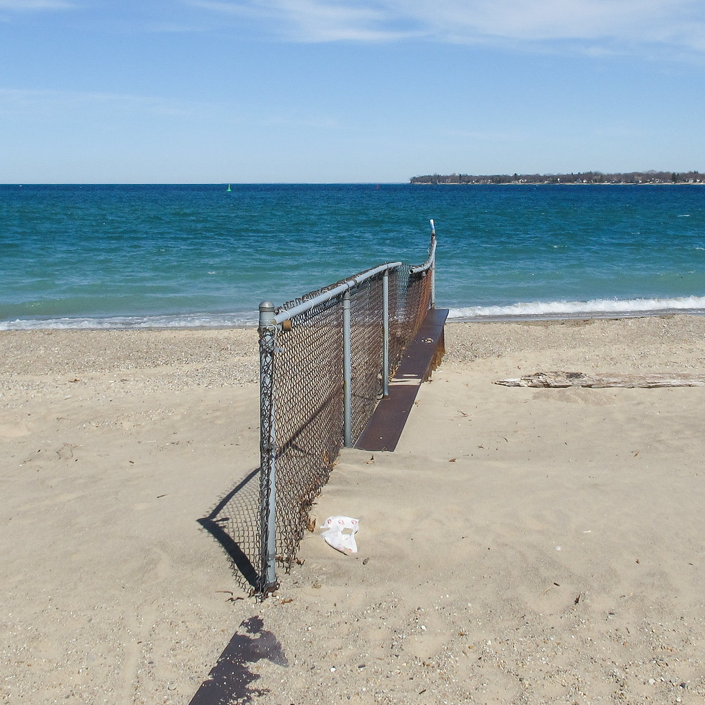
An installation of rusty chainlink at the spot where Lake Huron (left) pours into the St. Clair River (right).
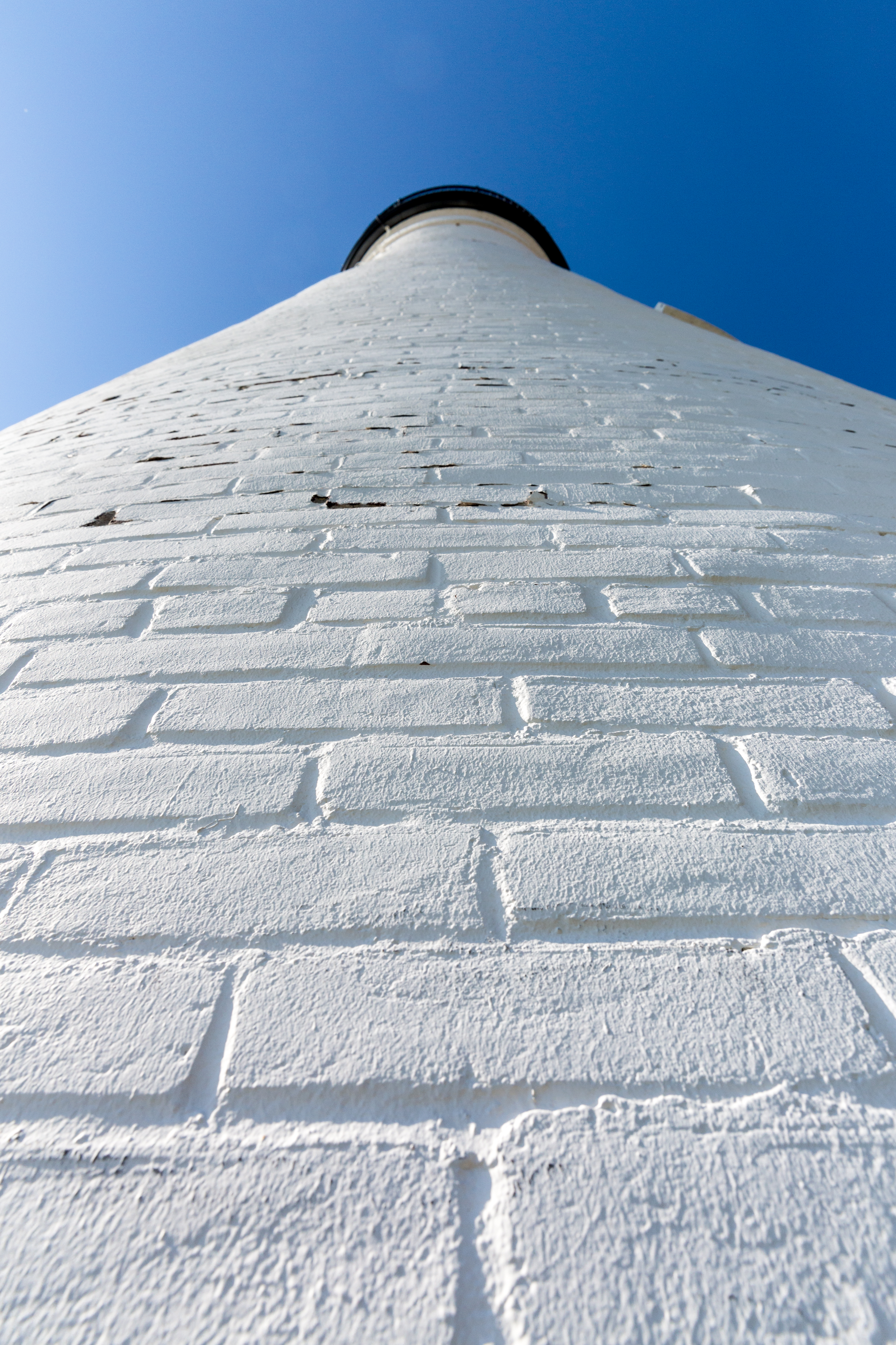
View Up Lighthouse Wall
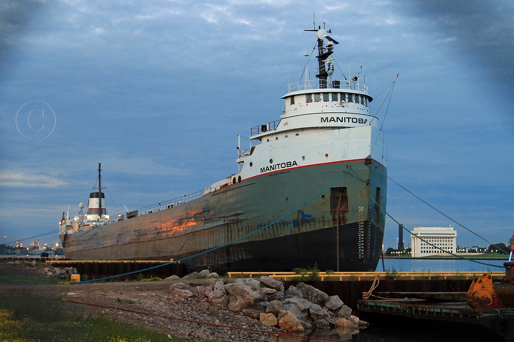
MANITOBA 063013
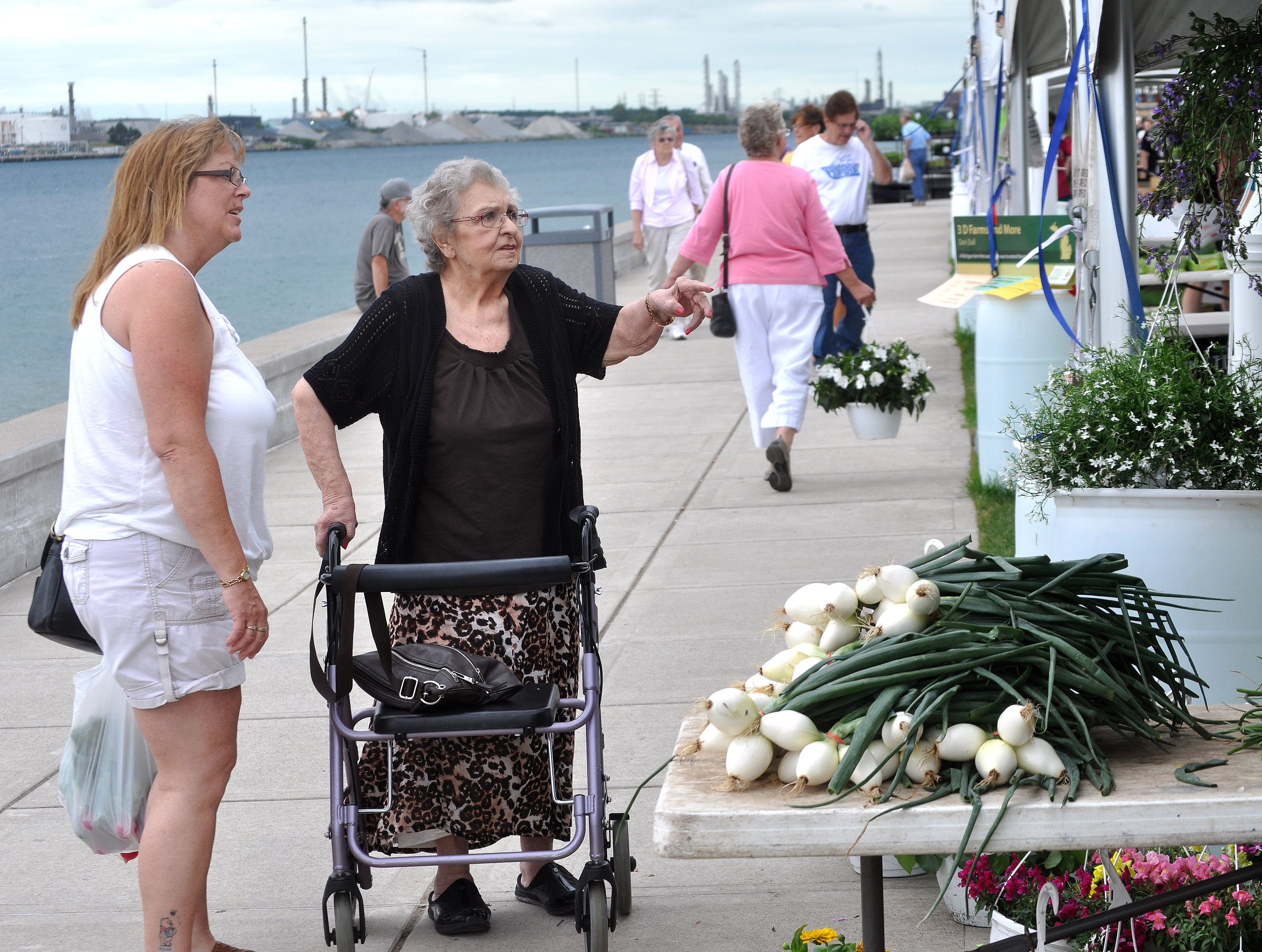
Vantage Point Farmers Market Off St. Clair River in Port Huron by Michigan Municipal League
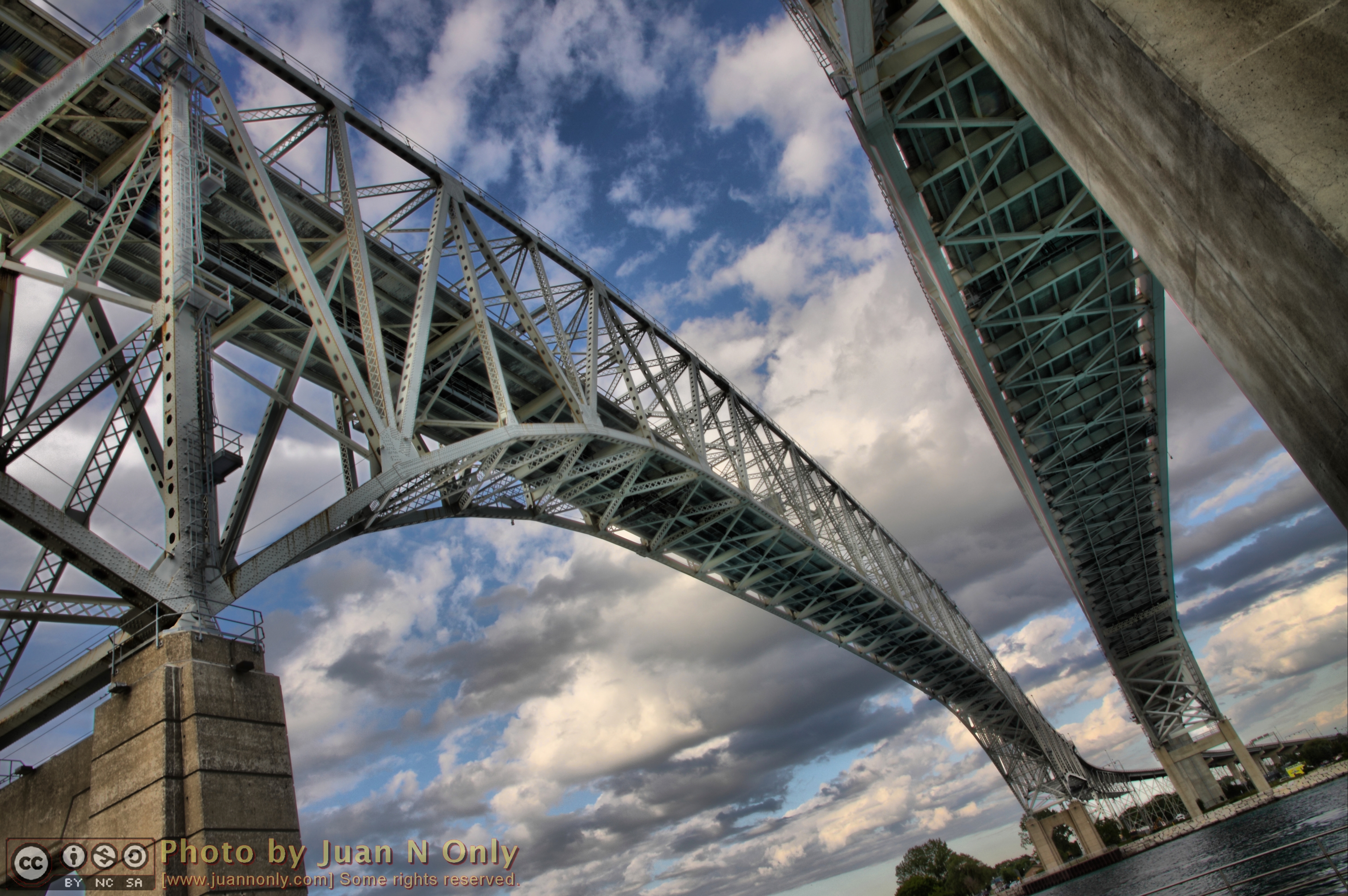
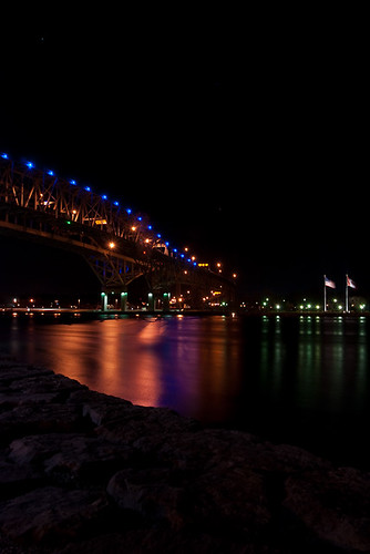
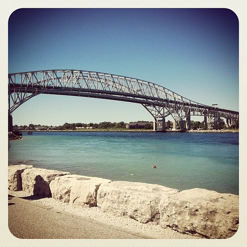
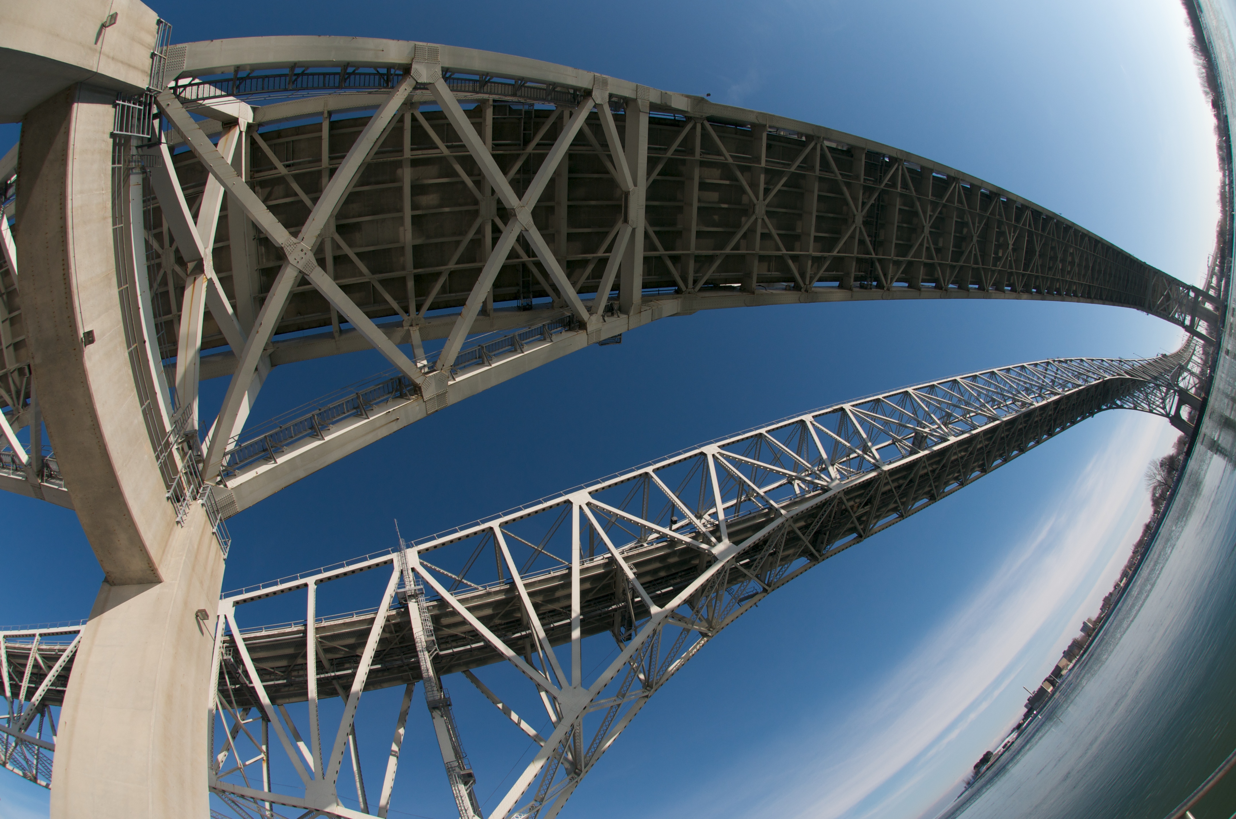
Blue Water Bridge
moore line field
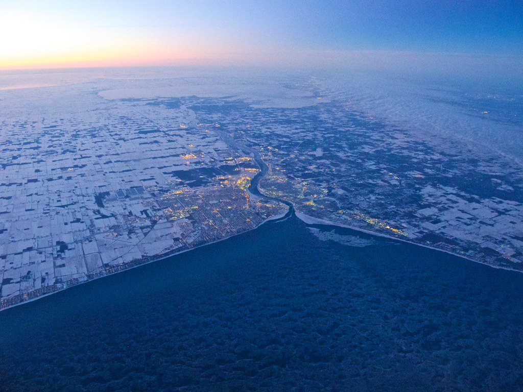
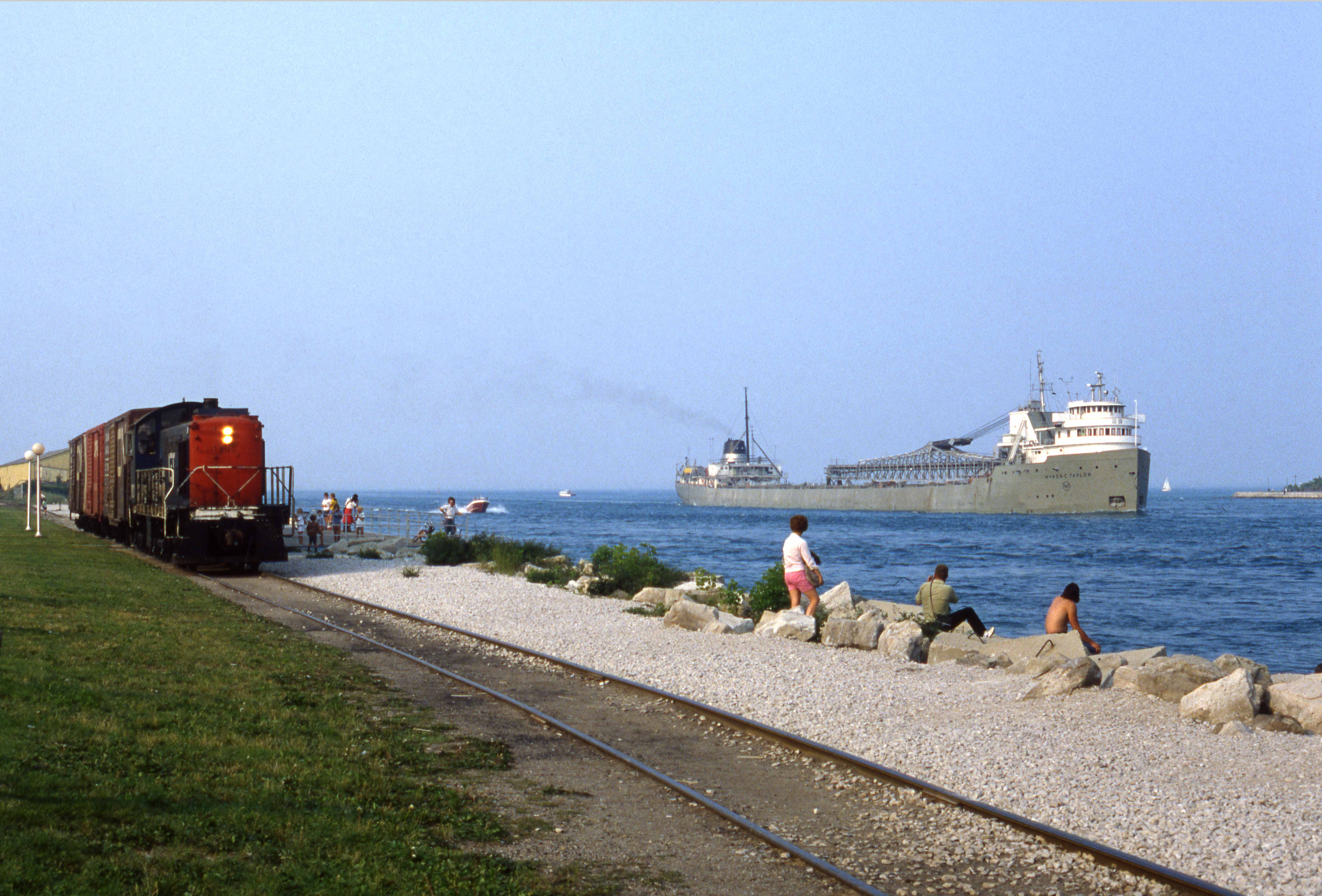
Port Huron & Sarnia
Chronicles of Sarnia (with apologies to C.S. Lewis)
Going to miss this view #StClairRiver
reflecting on the st. clair
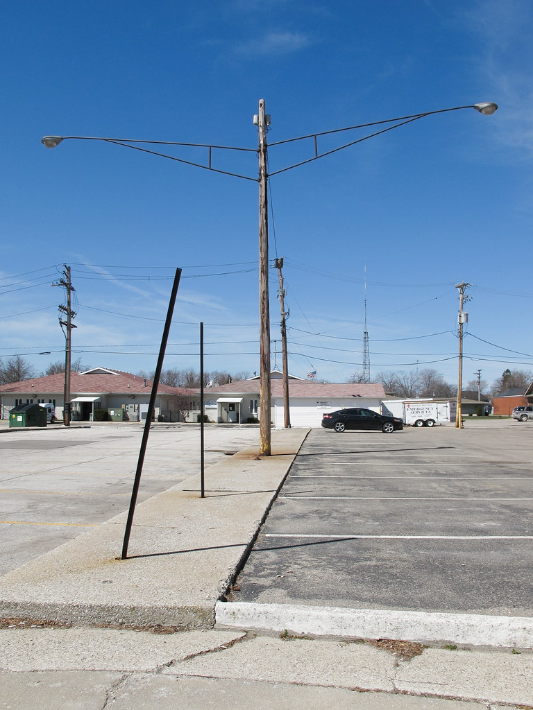
Long arms of lights.
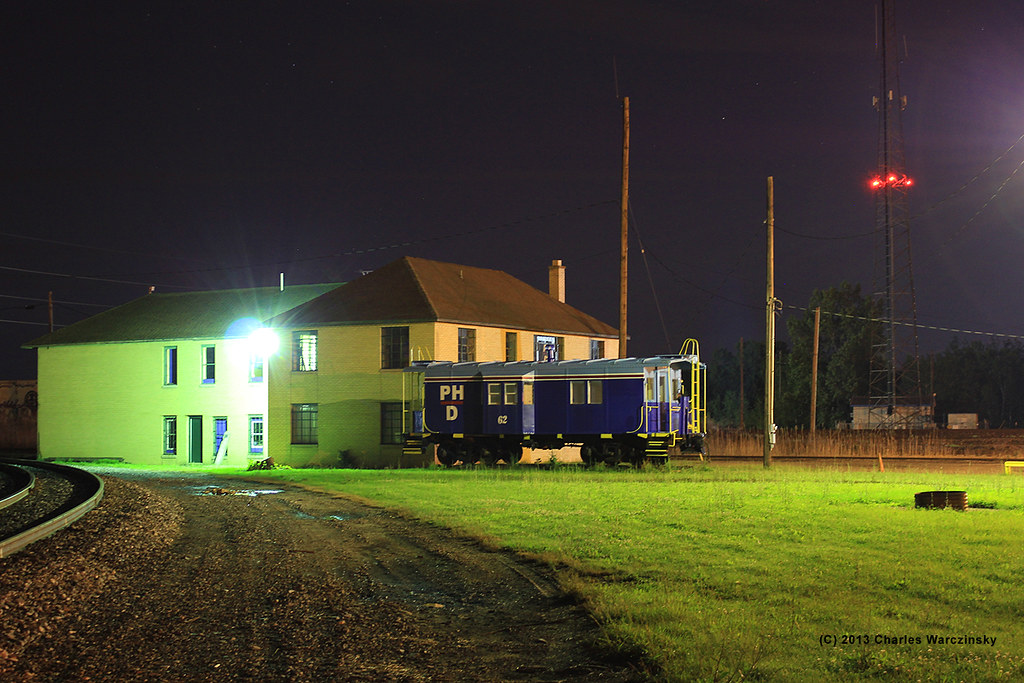
Night view
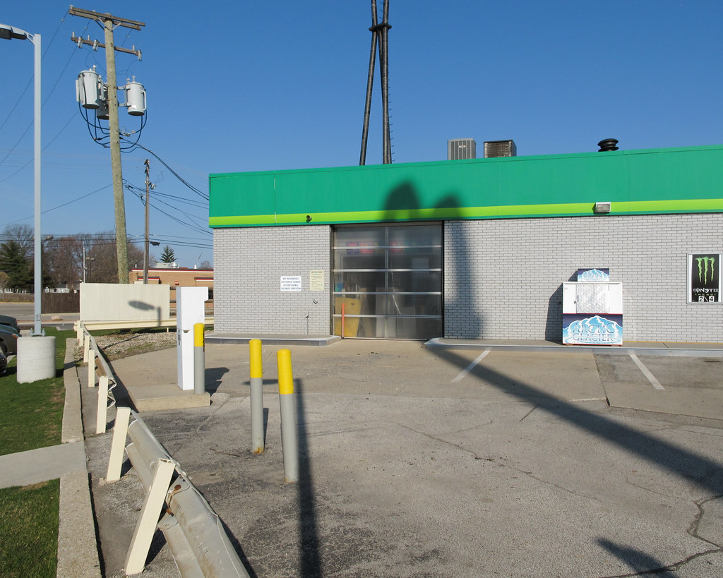
A bollards and guardrail scene of a McDonald's shadow cast upon a British Petroleum noncarwash with Monster drink and a badly leaning utility pole.
With a perfect view of the bridge
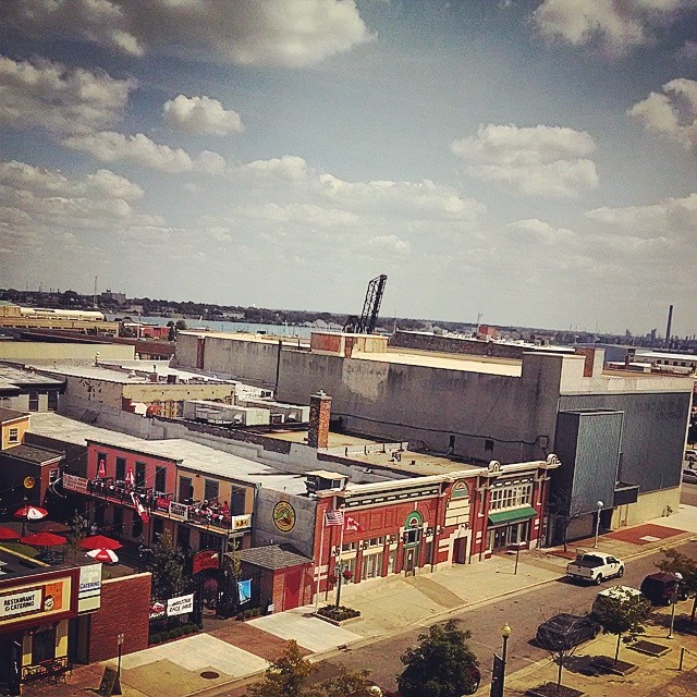
Ferris wheel view of downtown Port Huron #boatweek
Up from down
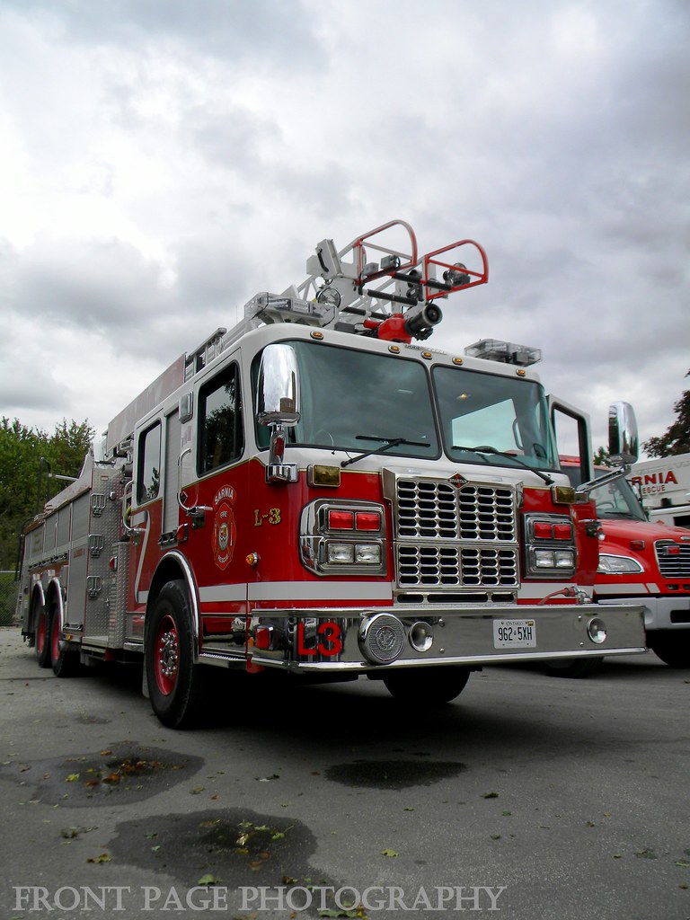
Sarnia Fire - L3
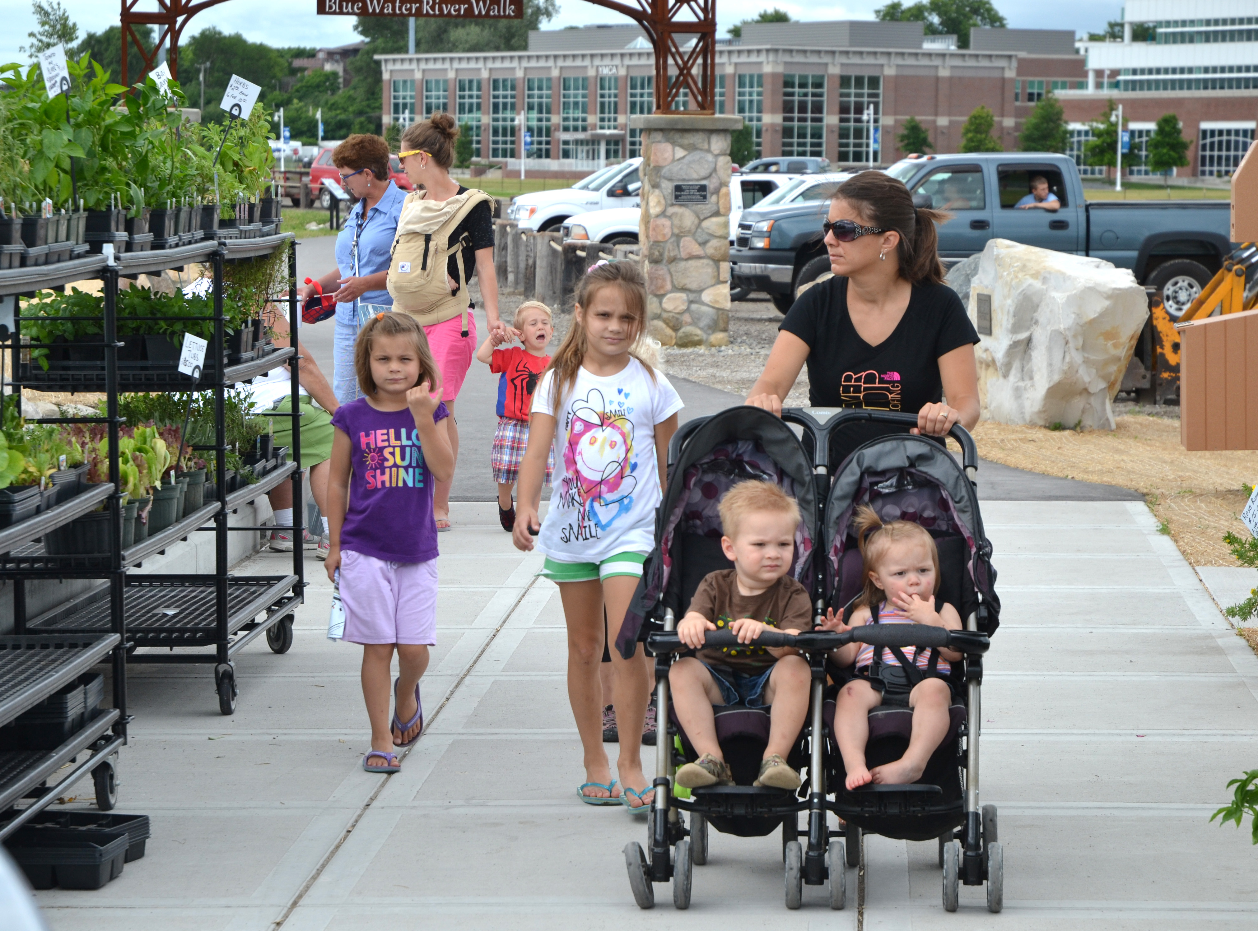
Families Enjoy Strolling Through Vantage Point Farmers Market Port Huron by Michigan Municipal League
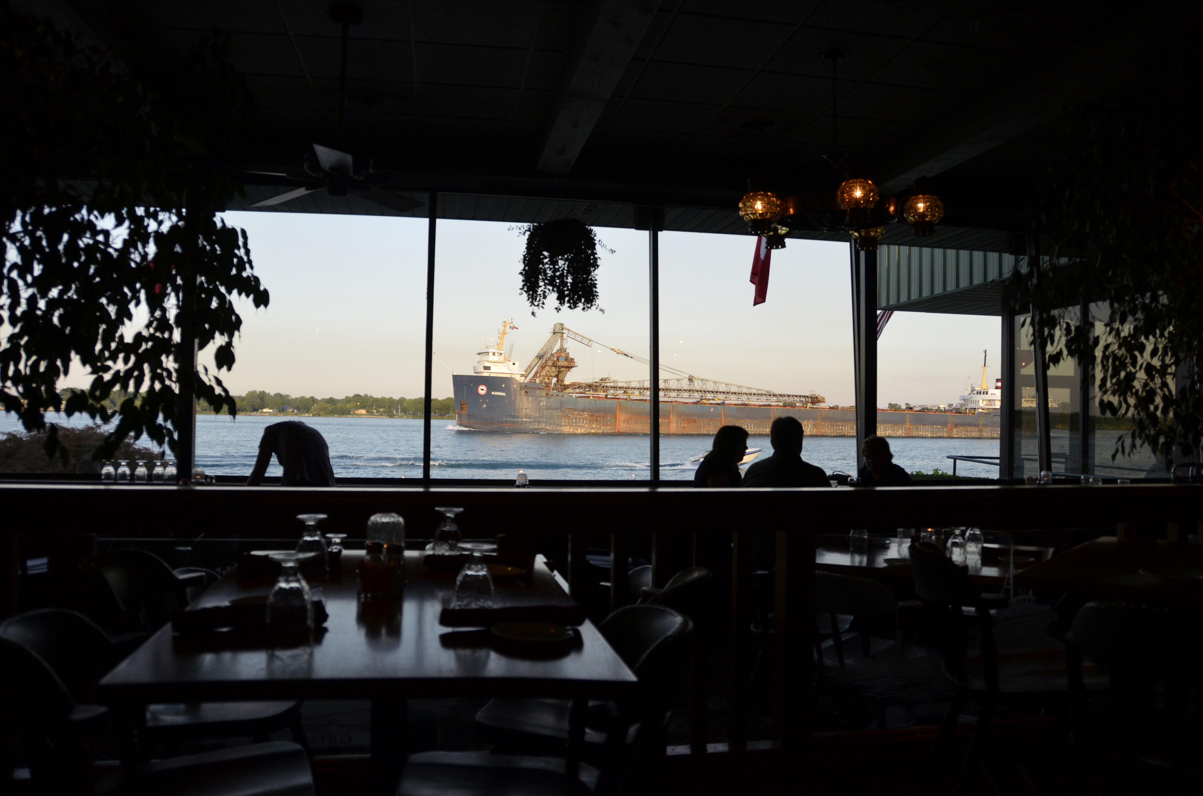
Table with a View

Fort Gratiot Light - Port Huron, MI

Port Huron 2016 03

Bluewater Bridge, Sarnia

Bluewater Bridge, Sarnia

Hello Michigan

20140626-22-00-14
Footprints With The Shimmers

Fireworks and a ship

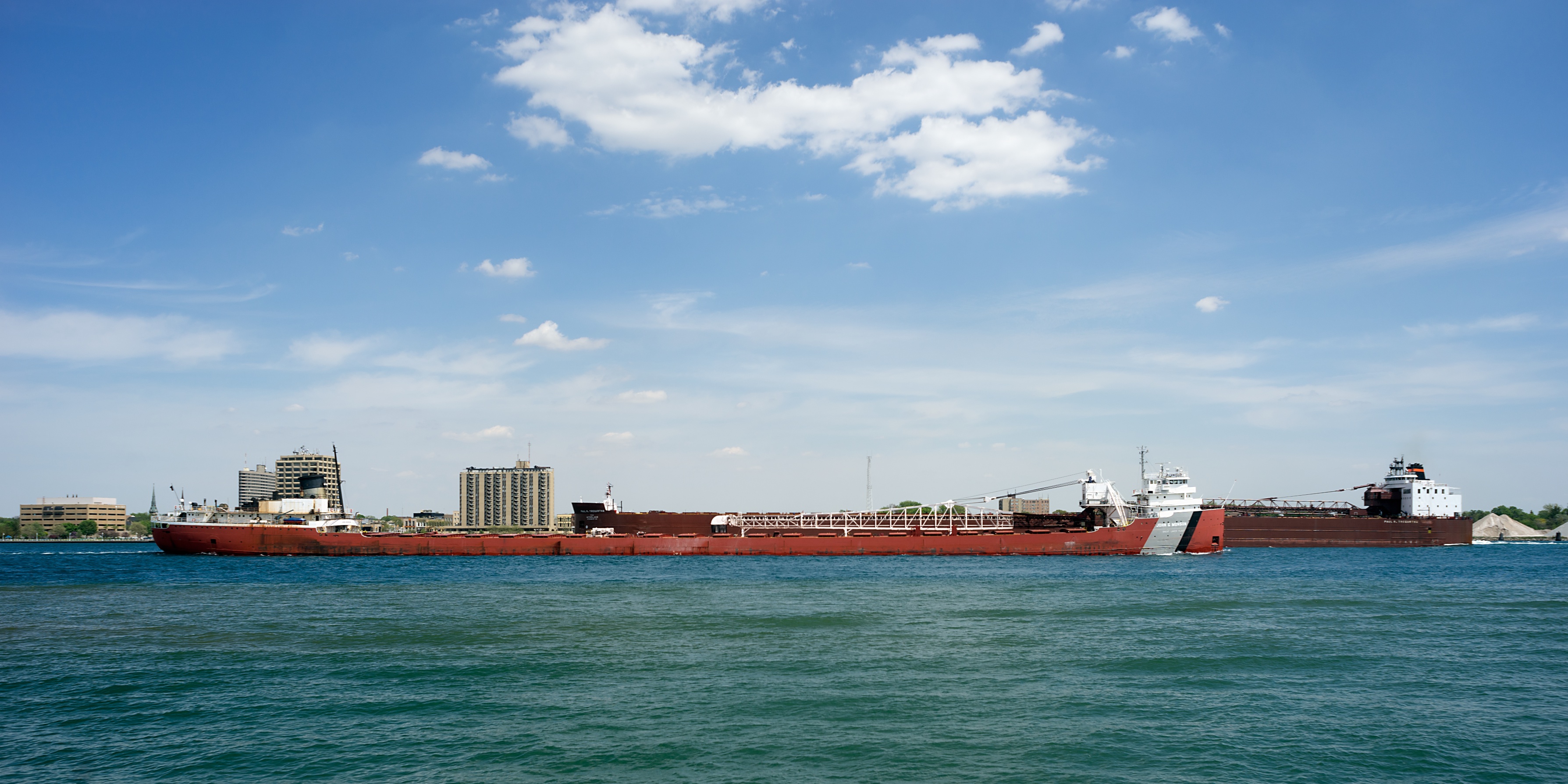
70' sailboat and the American Spirit on the St Clair River...#puremichigan #boatweek #bayviewtomackinac
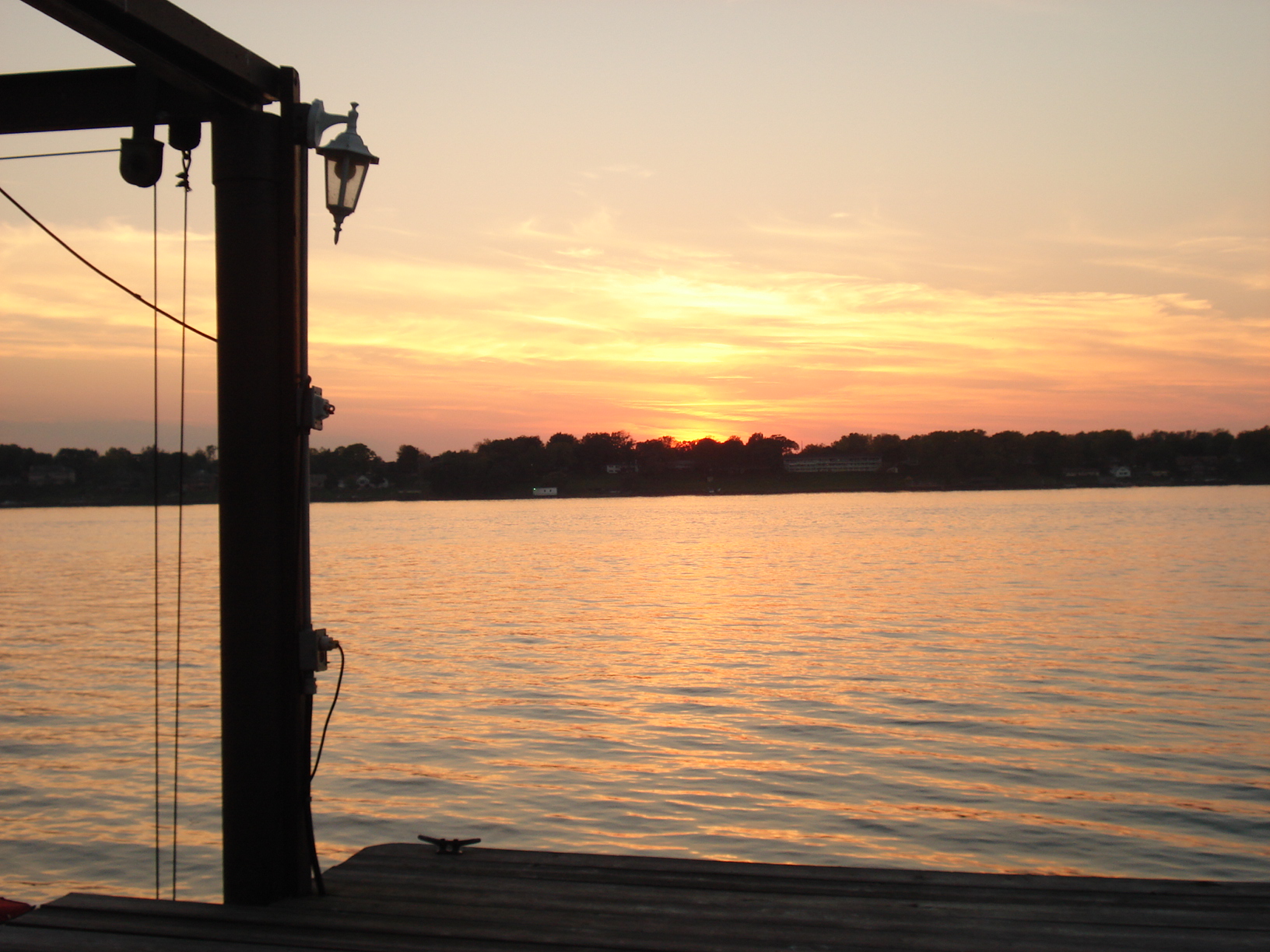
The Best of Both Worlds
St. Clair River from Mooretown, ON
Passing boats
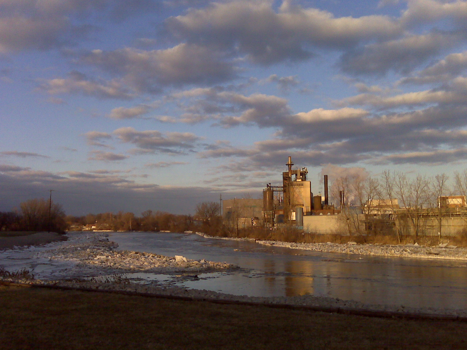
Blackriver flooding train bridge
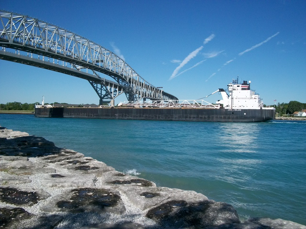
John J Boland going underneath Bluewater bridge at Sarnia, ON

Across the Pond
Port Huron Vintage Attempt 1

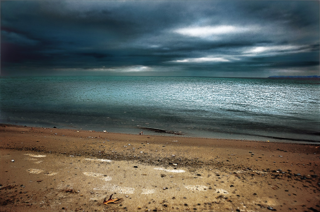
A beautiful scourge
Topographic Map of Beard St, Port Huron, MI, USA
Find elevation by address:

Places near Beard St, Port Huron, MI, USA:
Union St, Port Huron, MI, USA
Port Huron
Sarnia Harbour
Sarnia
36th Street
765 Confederation St
Sandy Lane
551 Prentice Ave
124 Joan Ct
124 Joan Ct
Port Huron Charter Township
150 St Clair Pkwy
Rosedale Ave, Sarnia, ON N7V 2A5, Canada
Egmond Dr, Sarnia, ON N7V 3H5, Canada
217 Liberty Ave
871 Lanark Crescent
1095 Highway Dr
204 Paget St
Marysville
1900 River Rd
Recent Searches:
- Elevation of Corso Fratelli Cairoli, 35, Macerata MC, Italy
- Elevation of Tallevast Rd, Sarasota, FL, USA
- Elevation of 4th St E, Sonoma, CA, USA
- Elevation of Black Hollow Rd, Pennsdale, PA, USA
- Elevation of Oakland Ave, Williamsport, PA, USA
- Elevation of Pedrógão Grande, Portugal
- Elevation of Klee Dr, Martinsburg, WV, USA
- Elevation of Via Roma, Pieranica CR, Italy
- Elevation of Tavkvetili Mountain, Georgia
- Elevation of Hartfords Bluff Cir, Mt Pleasant, SC, USA