Elevation of Bear River City, UT, USA
Location: United States > Utah > Box Elder County >
Longitude: -112.12661
Latitude: 41.6146534
Elevation: 1298m / 4259feet
Barometric Pressure: 87KPa
Elevation Map:
Satellite Map:
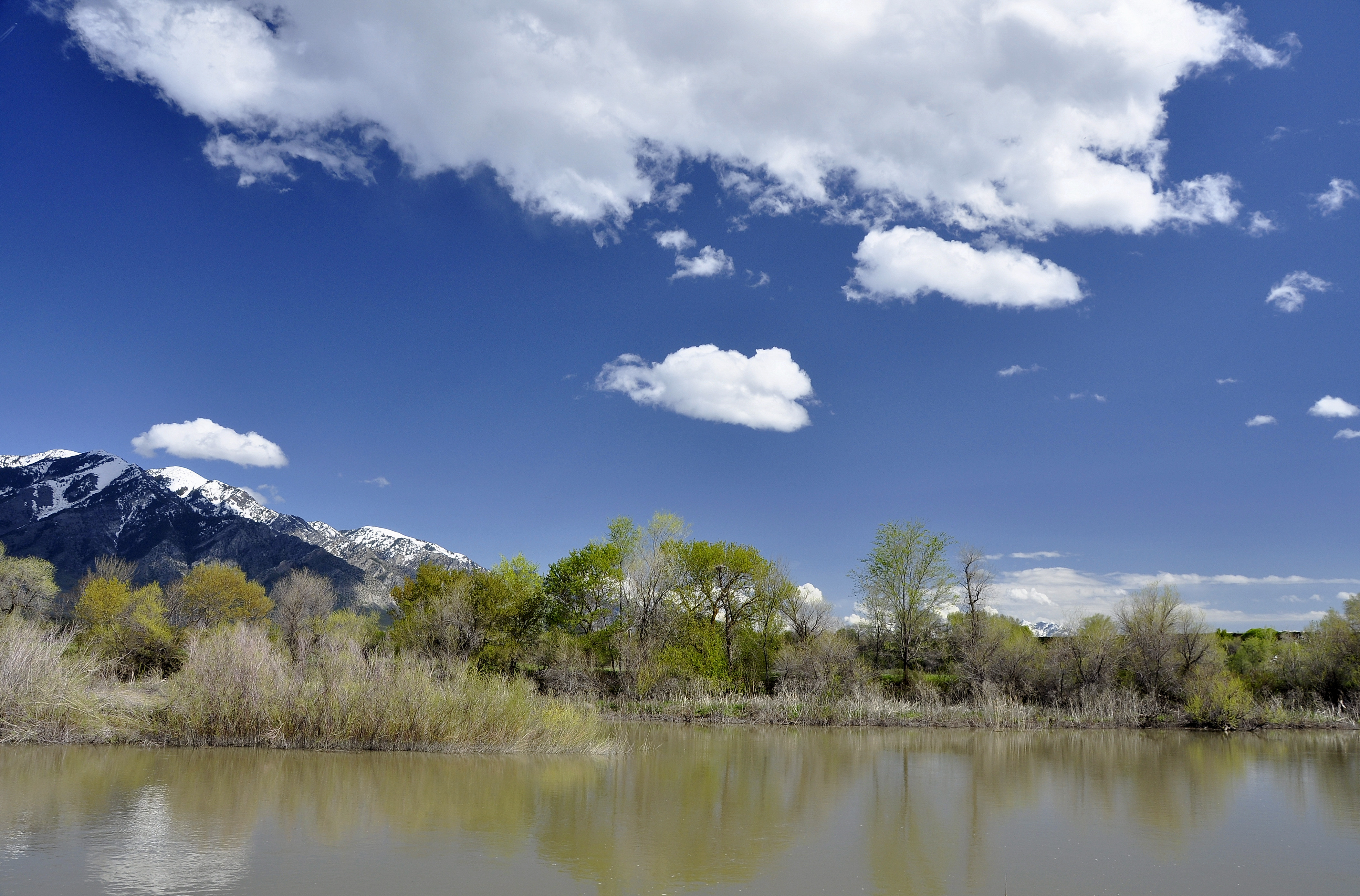
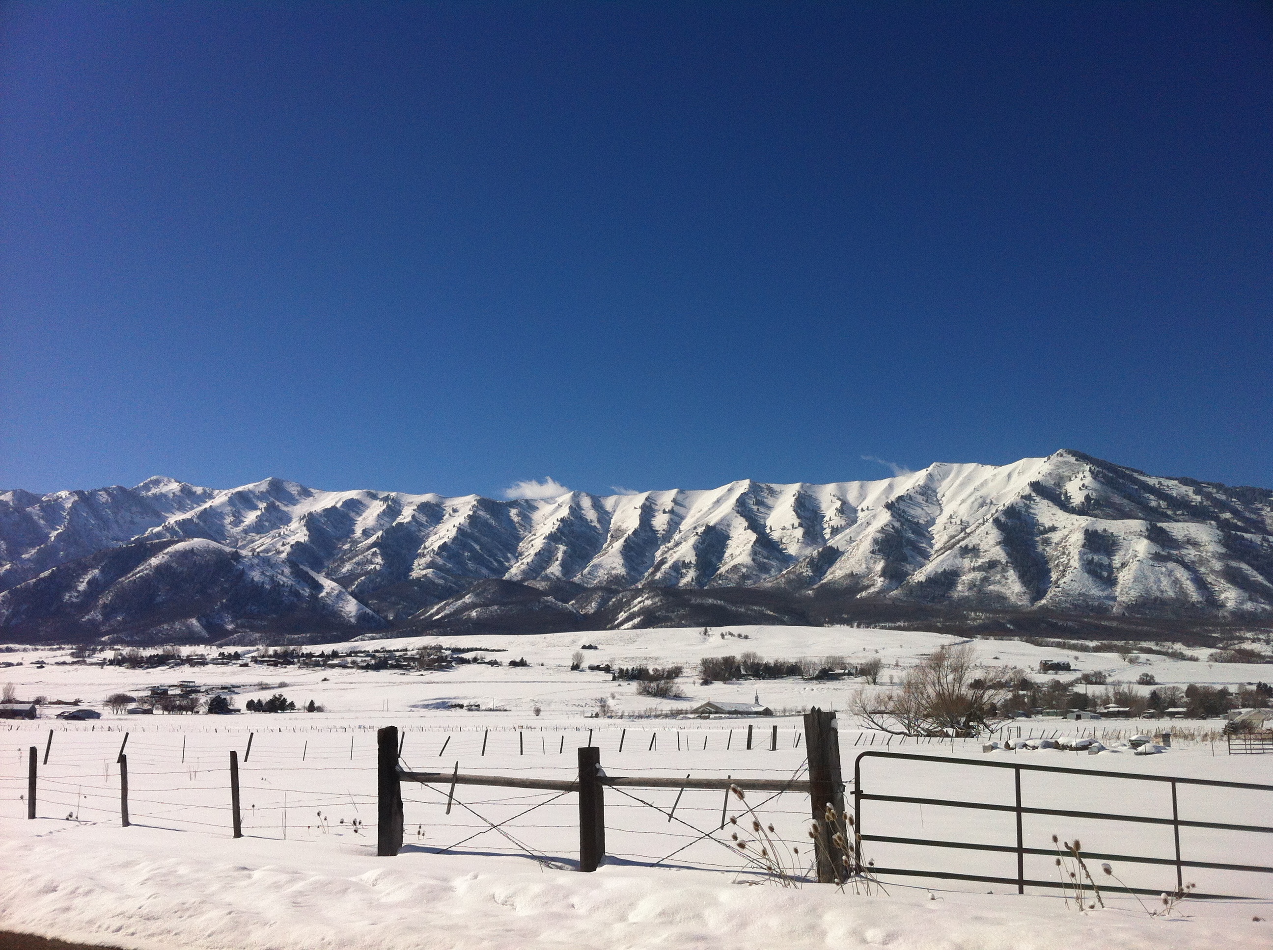
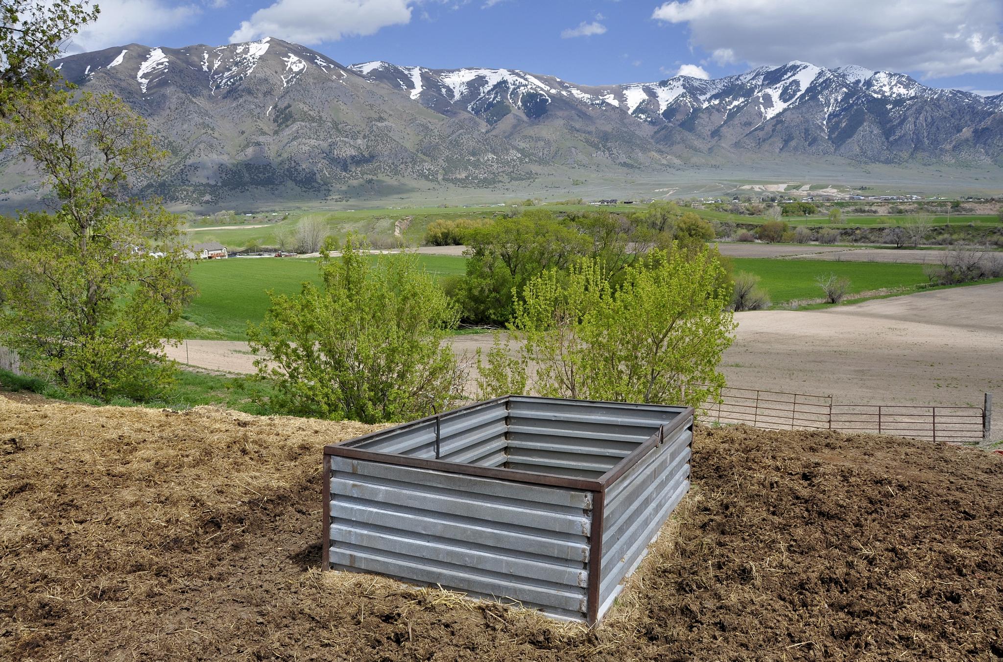
Related Photos:

looong rows
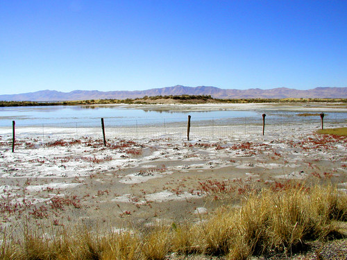
Bear River. Elwood, Utah

Bear River. Elwood, Utah

Letters BR (Bear River in Utah)
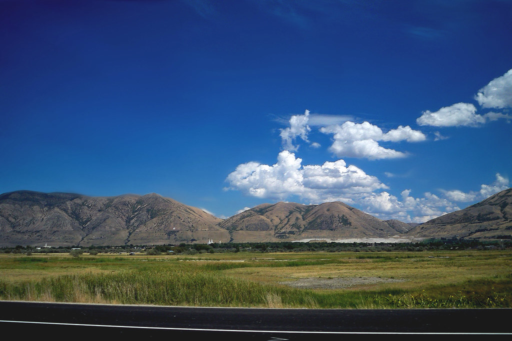
Wasatch Mountains

Tremonton, Utah

Watchful Eye Over Sleeping City
Bear River. Elwood, Utah

Lazuli Bunting_0322

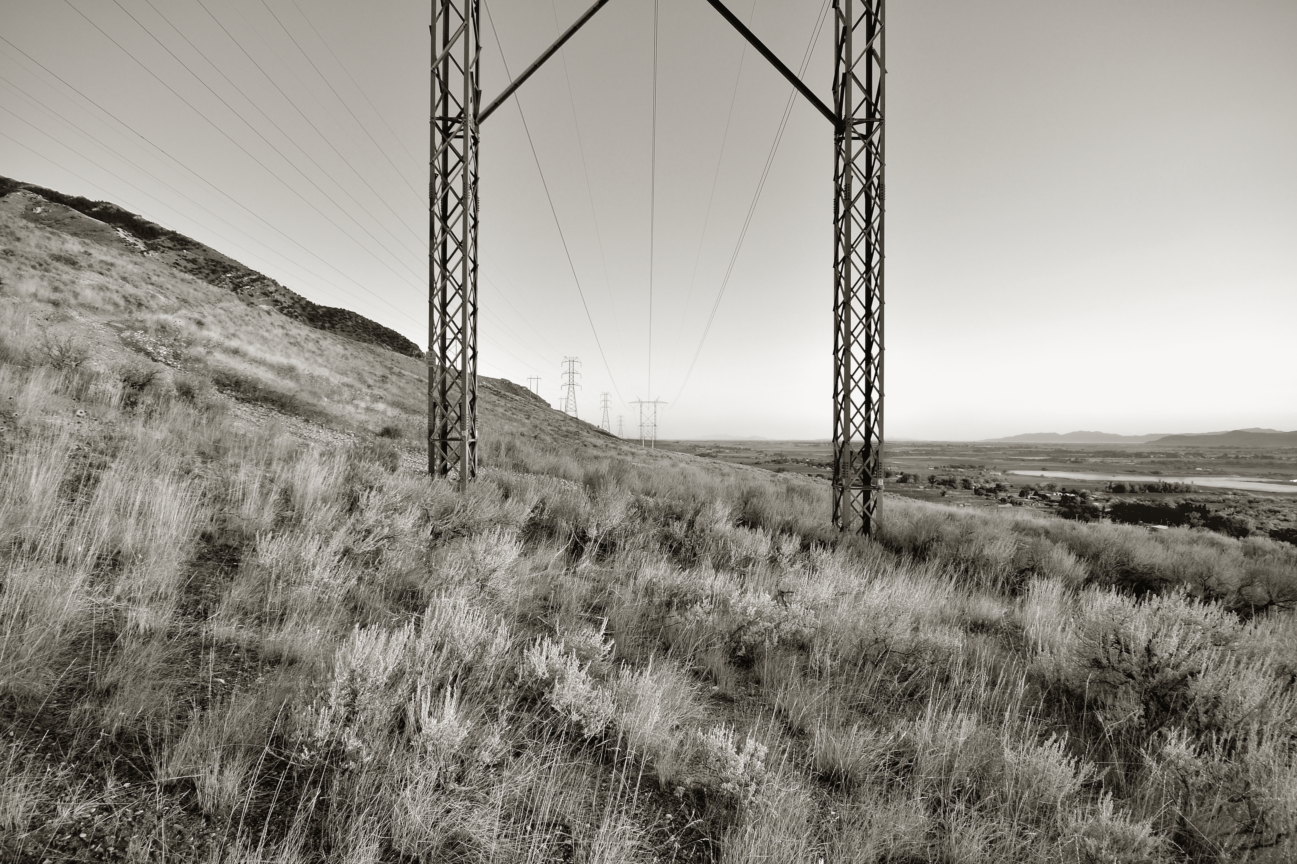
Property Line. Tremonton, Utah

Ferris Wheel NW
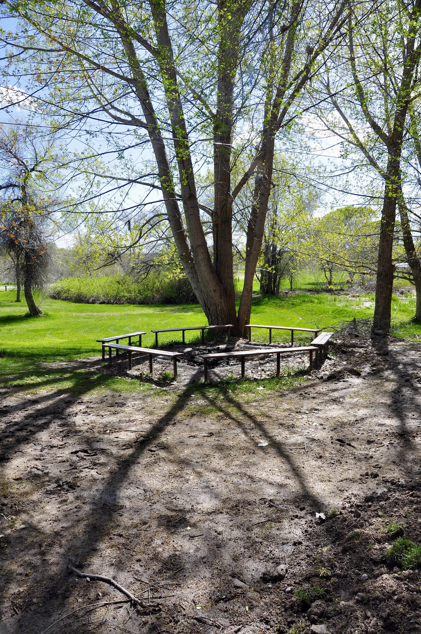
Hansen Park. Elwood, Utah
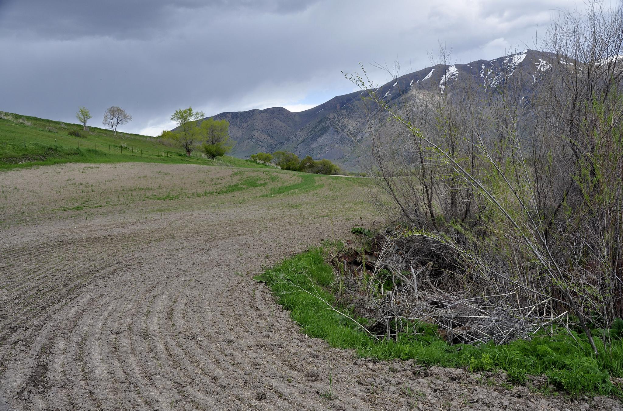
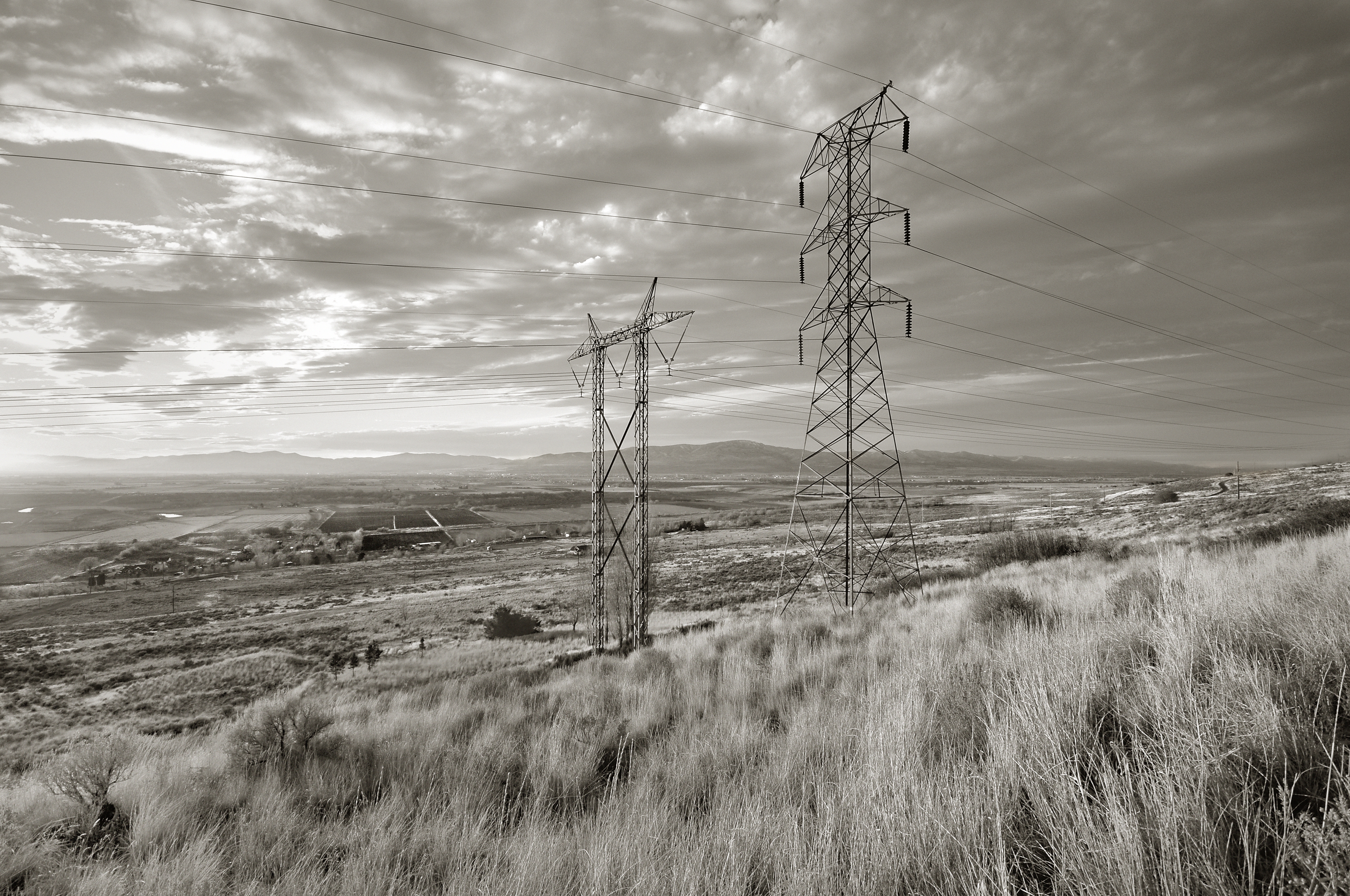
Field. Elwood, Utah

0023-11 USA Vacation, Utah, Brigham City, View Towards Temple

Hansen Park. Elwood, Utah

Creepy Wrigley's Ghost Sign

Brigham City view

Lesser Goldfinch_7874

Cat Tail Sunset (012/365)

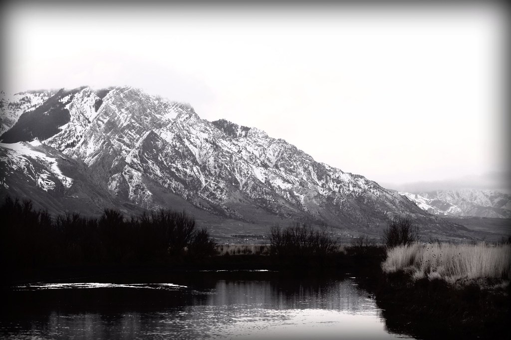
Wellsville Mountains. Tremonton, Utah

Dean checking out the view of Hyrum

Sunset12 Tremonton, UT USA

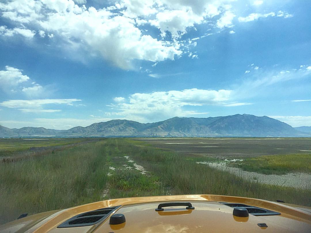
Best drive in the world
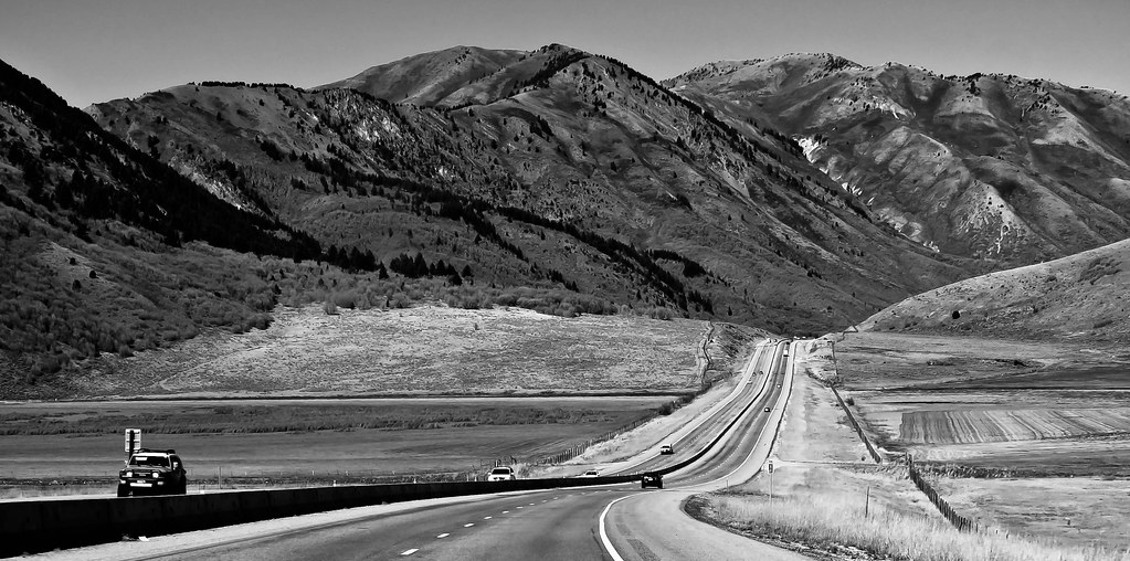
Open road

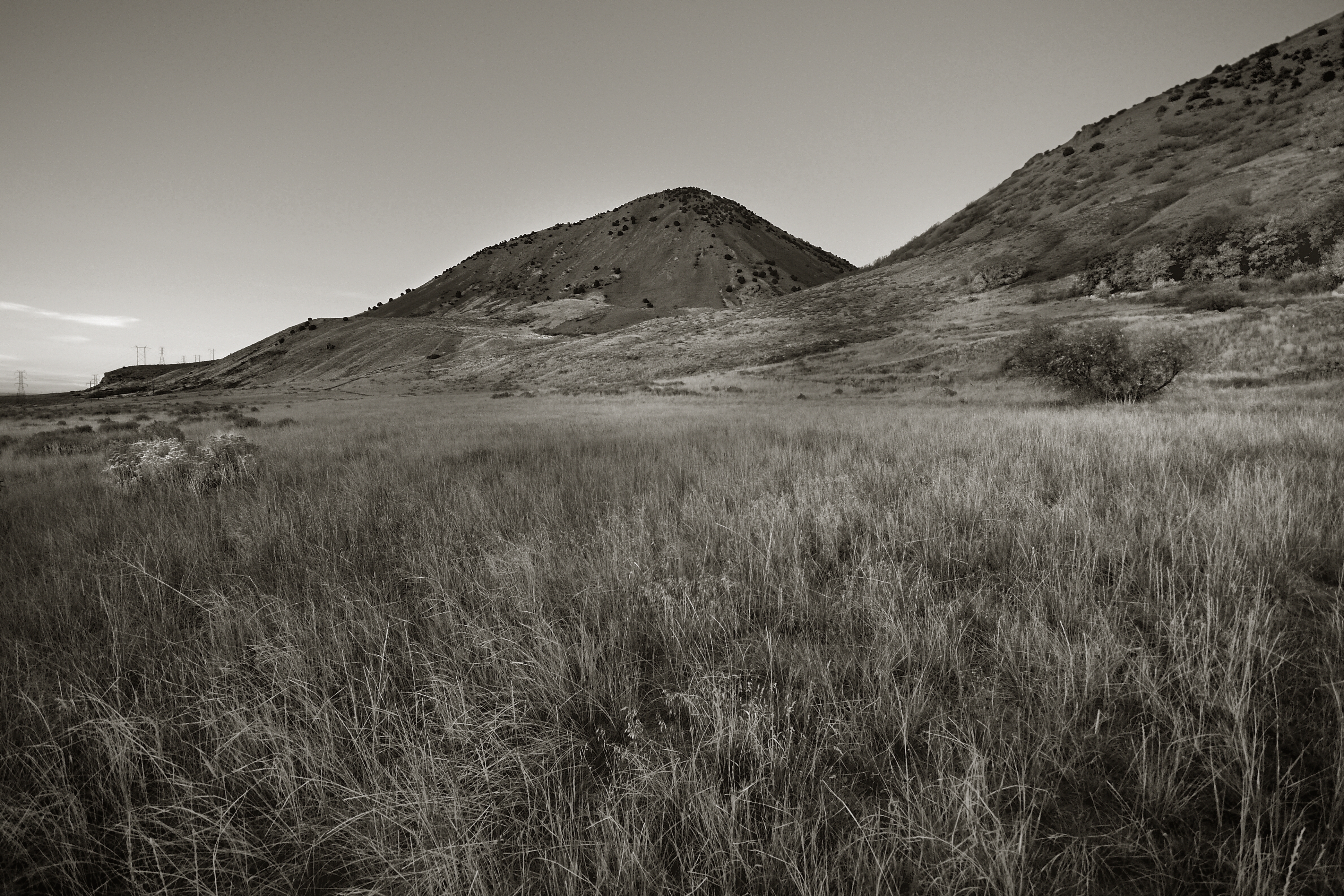
Little Mountain. Box Elder County, Utah
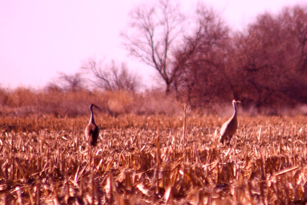
Herons in the Grass

Invasive Species #2. Tremonton, Utah
Wellsville Mountains, Utah
Hull Lake
Wellsville Mountains, Utah
"Que yo te mostraré lugares que nadie conoce y, si tú quieres, las perfectas regiones del Sueño.*I will show you places that no one knows and, if you like, the perfect dream regions."(Edward Estlin Cumming),Brigham City,Utah
Wellsville Mountains, Utah
Found an old trail... This will conclude out 12 miles.
Wellsville Mountains, Utah
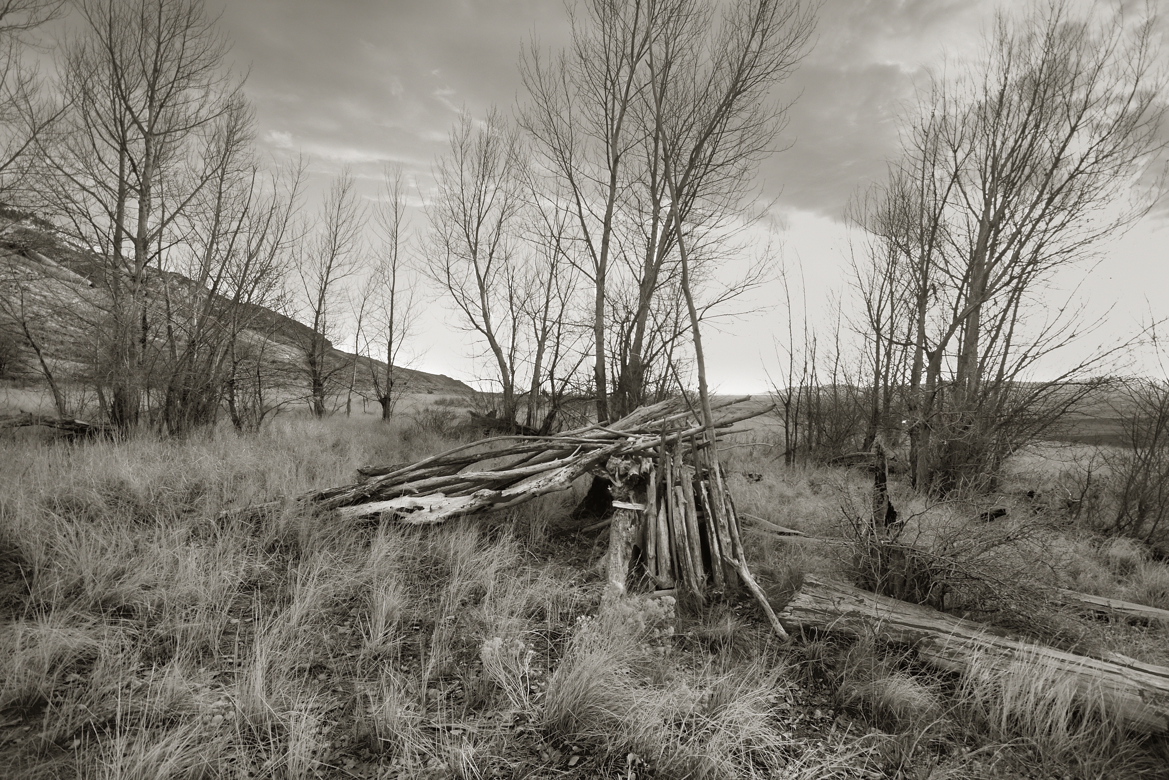
The Gray Landscape

Yellowstone National Park, such an amazing place. #yellowstone #river #nakedplanet #nature #pictureline #nikon #d7100 #nationalpark #familyvavation #summertime

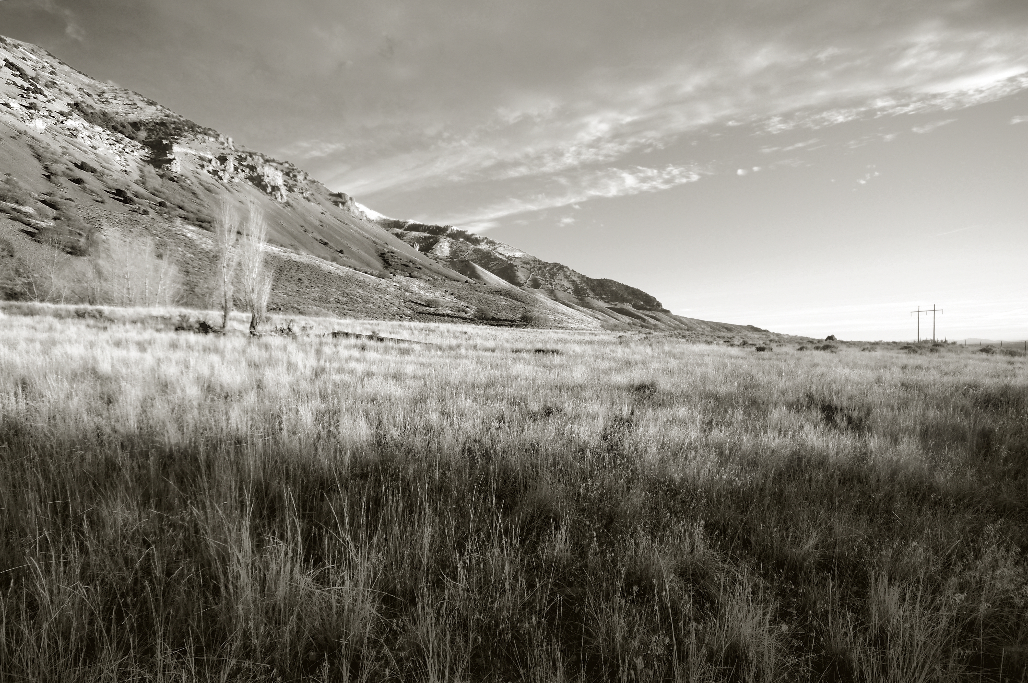
West Of Elwood. Box Elder County, Utah
Wellsville Mountains, Utah

Wasatch mountains Utah

Tremonton, Utah

West Of Elwood. Box Elder County, Utah
Topographic Map of Bear River City, UT, USA
Find elevation by address:

Places in Bear River City, UT, USA:
Places near Bear River City, UT, USA:
W N, Bear River City, UT, USA
W N, Tremonton, UT, USA
Bear River Valley Co-op
Corinne
Elwood
Tremonton
16 N Tremont St
515 N 800 W
905 N 1000 W
550 W 1000 N
Garland
320 E 300 N
Brigham City
620 W 885 S
N W, Collinston, UT, USA
Collinston
14 W 1500 S
7041 W 600 N
Perry
Freedom St, Brigham City, UT, USA
Recent Searches:
- Elevation of Corso Fratelli Cairoli, 35, Macerata MC, Italy
- Elevation of Tallevast Rd, Sarasota, FL, USA
- Elevation of 4th St E, Sonoma, CA, USA
- Elevation of Black Hollow Rd, Pennsdale, PA, USA
- Elevation of Oakland Ave, Williamsport, PA, USA
- Elevation of Pedrógão Grande, Portugal
- Elevation of Klee Dr, Martinsburg, WV, USA
- Elevation of Via Roma, Pieranica CR, Italy
- Elevation of Tavkvetili Mountain, Georgia
- Elevation of Hartfords Bluff Cir, Mt Pleasant, SC, USA