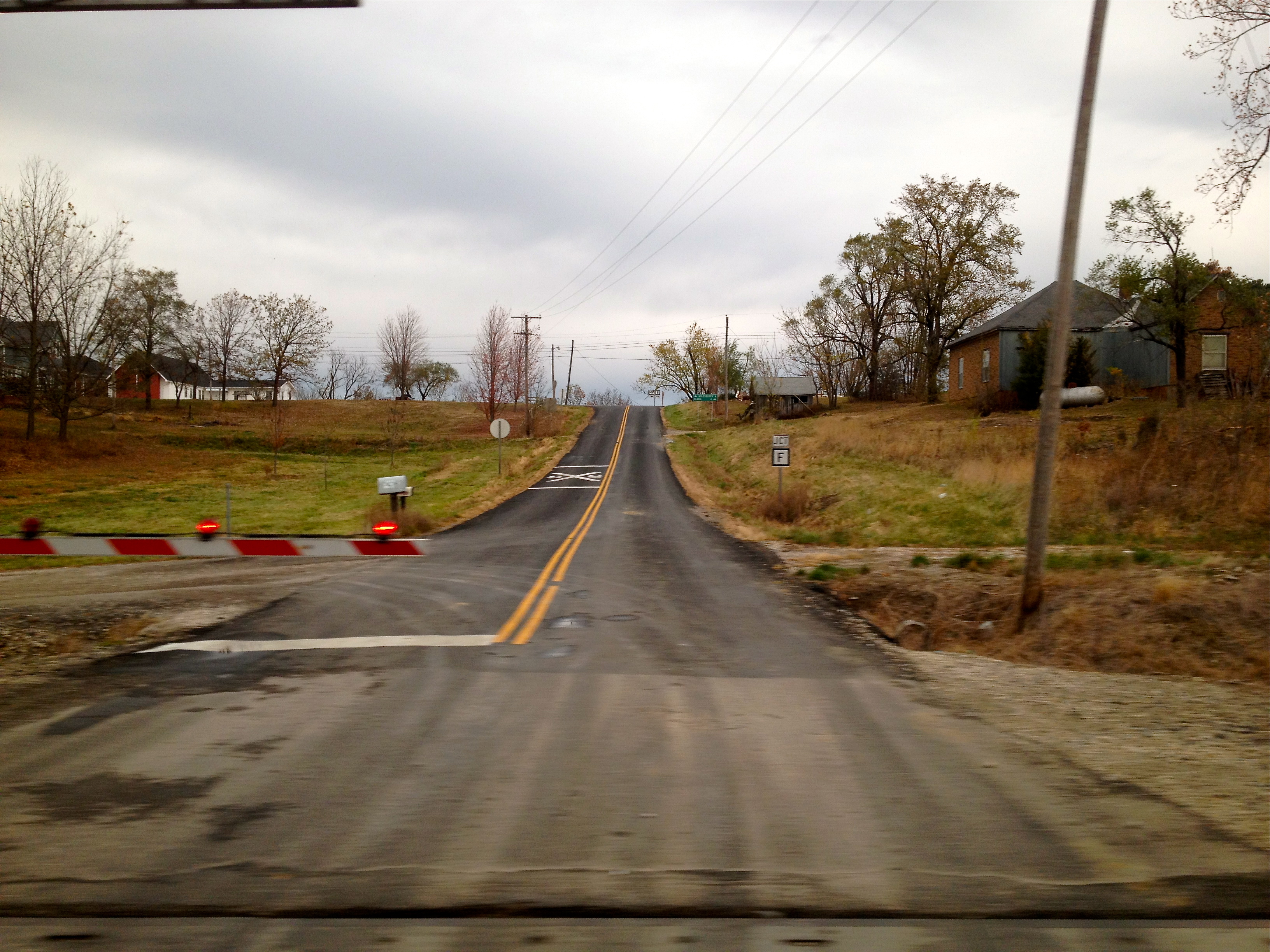
Elevation of Bayport Ave, Ethel, MO, USA
Location: United States > Missouri > Macon County > White Township > Ethel >
Longitude: -92.779633
Latitude: 39.858457
Elevation: 250m / 820feet
Barometric Pressure: 0KPa
Related Photos:

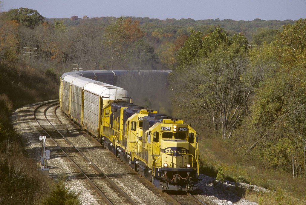
Conrail Dash 8 at Ethel

BNSF 6863 - 6/15/2014
Views From Amtrak
EB near Hart Mo
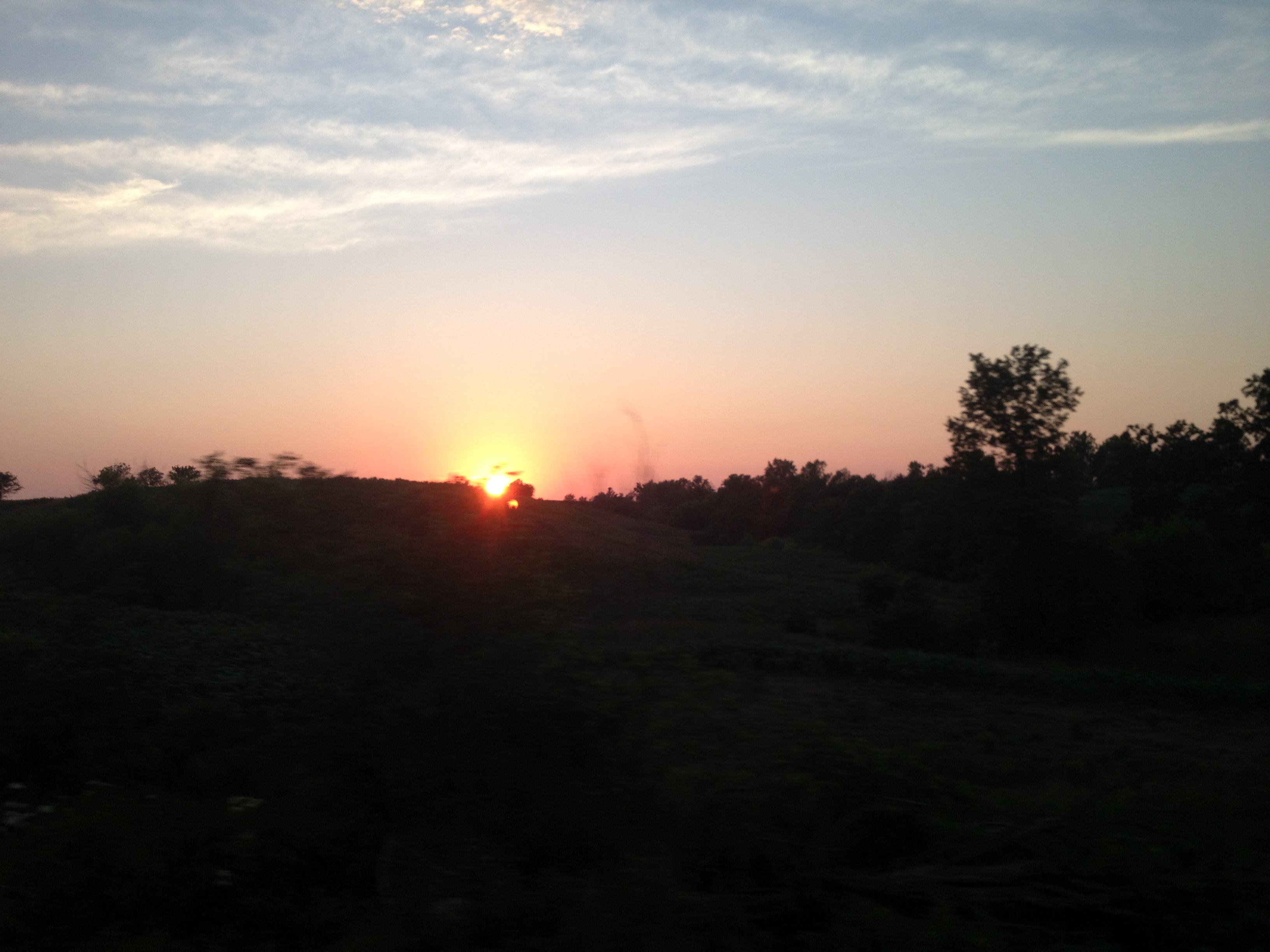
2013-07-04 20.16.46

2013-07-04 20.30.52

2013-07-04 20.29.49

2013-07-04 20.17.58

2013-07-04 20.28.58

2013-07-04 20.29.48

2013-07-04 20.29.53
Amtrak 181 W TR3 SWC Chariton River Valley MO June 10 2012
2013-07-04 20.28.35
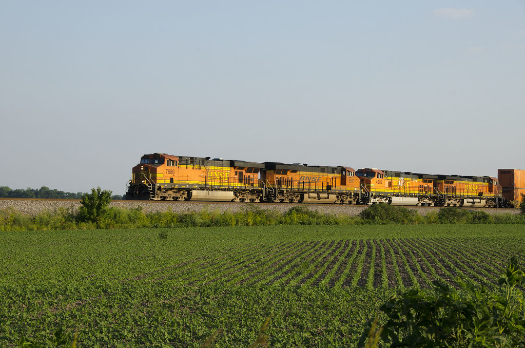
BNSF 7680 EB Chariton River Valley MO June 10 2012

2013-07-04 20.29.19
Topographic Map of Bayport Ave, Ethel, MO, USA
Find elevation by address:

Places near Bayport Ave, Ethel, MO, USA:
Russell Township
Ethel
Valley Township
Valley Township
Valley Township
Valley Township
Valley Township
Eagle Ave, New Cambria, MO, USA
State Hwy EE, Callao, MO, USA
State Hwy OO, Atlanta, MO, USA
Ivory St, Bevier, MO, USA
Macon County
Bevier
S Macon St, Bevier, MO, USA
Bevier Township
Bevier Township
Bevier Township
Bevier Township
Bevier Township
Bevier Township
Recent Searches:
- Elevation map of Greenland, Greenland
- Elevation of Sullivan Hill, New York, New York, 10002, USA
- Elevation of Morehead Road, Withrow Downs, Charlotte, Mecklenburg County, North Carolina, 28262, USA
- Elevation of 2800, Morehead Road, Withrow Downs, Charlotte, Mecklenburg County, North Carolina, 28262, USA
- Elevation of Yangbi Yi Autonomous County, Yunnan, China
- Elevation of Pingpo, Yangbi Yi Autonomous County, Yunnan, China
- Elevation of Mount Malong, Pingpo, Yangbi Yi Autonomous County, Yunnan, China
- Elevation map of Yongping County, Yunnan, China
- Elevation of North 8th Street, Palatka, Putnam County, Florida, 32177, USA
- Elevation of 107, Big Apple Road, East Palatka, Putnam County, Florida, 32131, USA
- Elevation of Jiezi, Chongzhou City, Sichuan, China
- Elevation of Chongzhou City, Sichuan, China
- Elevation of Huaiyuan, Chongzhou City, Sichuan, China
- Elevation of Qingxia, Chengdu, Sichuan, China
- Elevation of Corso Fratelli Cairoli, 35, Macerata MC, Italy
- Elevation of Tallevast Rd, Sarasota, FL, USA
- Elevation of 4th St E, Sonoma, CA, USA
- Elevation of Black Hollow Rd, Pennsdale, PA, USA
- Elevation of Oakland Ave, Williamsport, PA, USA
- Elevation of Pedrógão Grande, Portugal