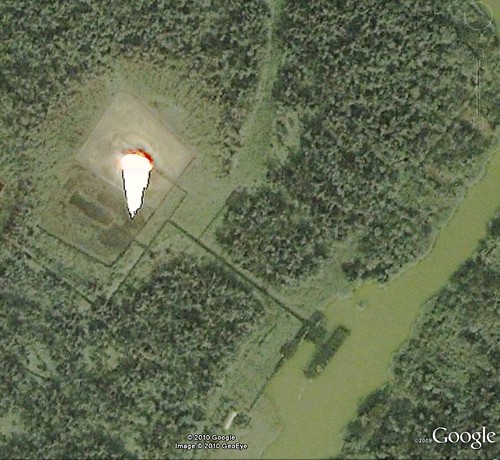
Elevation map of Bayelsa, Nigeria
Location: Nigeria >
Longitude: 6.0698526
Latitude: 4.7719071
Elevation: 3m / 10feet
Barometric Pressure: 101KPa
Related Photos:
Topographic Map of Bayelsa, Nigeria
Find elevation by address:

Places in Bayelsa, Nigeria:
Places near Bayelsa, Nigeria:
Yenagoa
Biogbolo
Lalagbene
Ogbosuware Health Centre
Yenegoa
Ahoada
Warri
Rivers
Osaks Inteq Nig Ltd
Omagwa
Ikwerre
Port Harcourt International Airport
Port Harcourt International Airport
Port Harcourt - Aba Expressway
The Nigerian Air Force Base
Ohaji/egbema
Headquarters Owerri West Local Government Area
Owerri
Recent Searches:
- Elevation of Corso Fratelli Cairoli, 35, Macerata MC, Italy
- Elevation of Tallevast Rd, Sarasota, FL, USA
- Elevation of 4th St E, Sonoma, CA, USA
- Elevation of Black Hollow Rd, Pennsdale, PA, USA
- Elevation of Oakland Ave, Williamsport, PA, USA
- Elevation of Pedrógão Grande, Portugal
- Elevation of Klee Dr, Martinsburg, WV, USA
- Elevation of Via Roma, Pieranica CR, Italy
- Elevation of Tavkvetili Mountain, Georgia
- Elevation of Hartfords Bluff Cir, Mt Pleasant, SC, USA
