Elevation of Baybay City, Leyte, Philippines
Location: Philippines > Eastern Visayas > Leyte >
Longitude: 124.852562
Latitude: 10.6521412
Elevation: 147m / 482feet
Barometric Pressure: 100KPa
Elevation Map:
Satellite Map:
Related Photos:
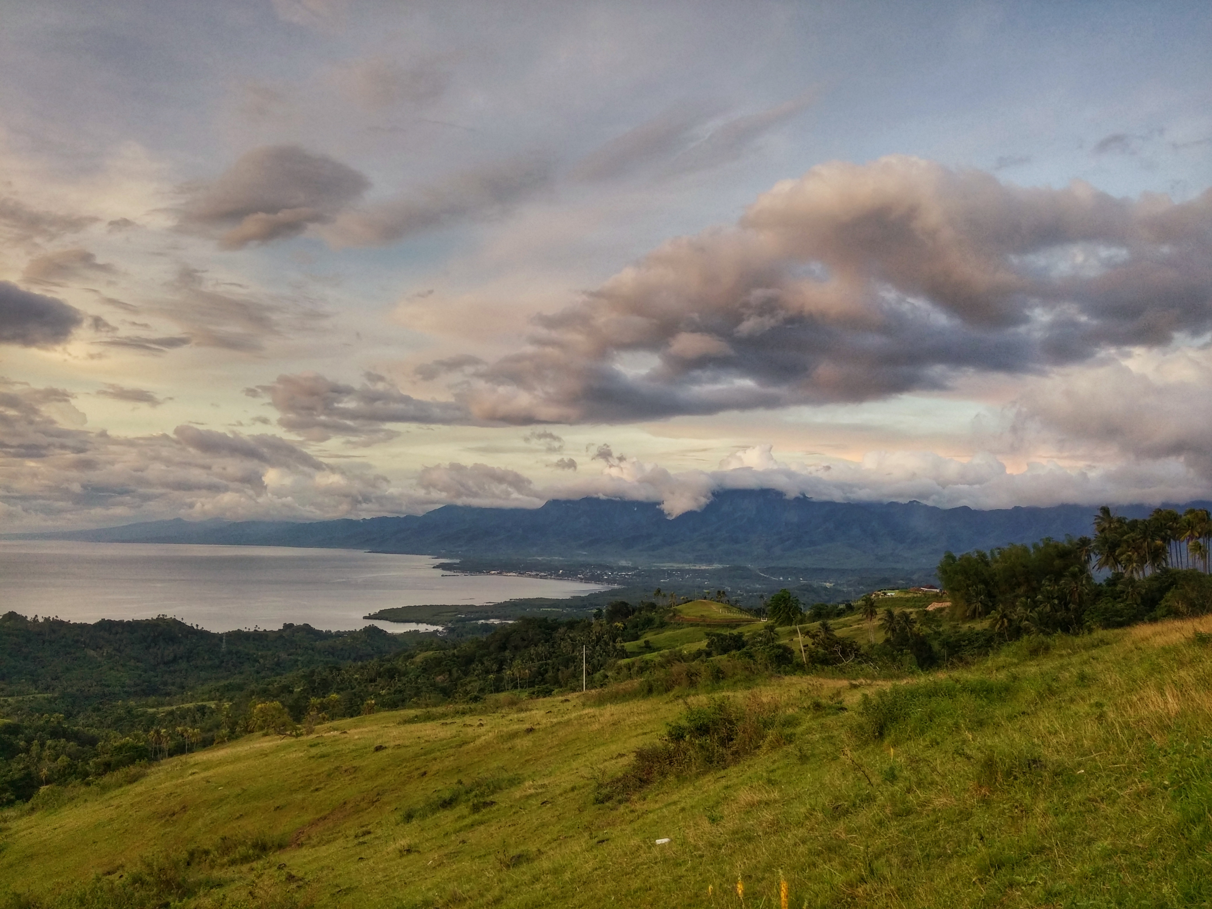
View from Lintaon Peak
Scenic view at Lintaon Peak, Baybay City.
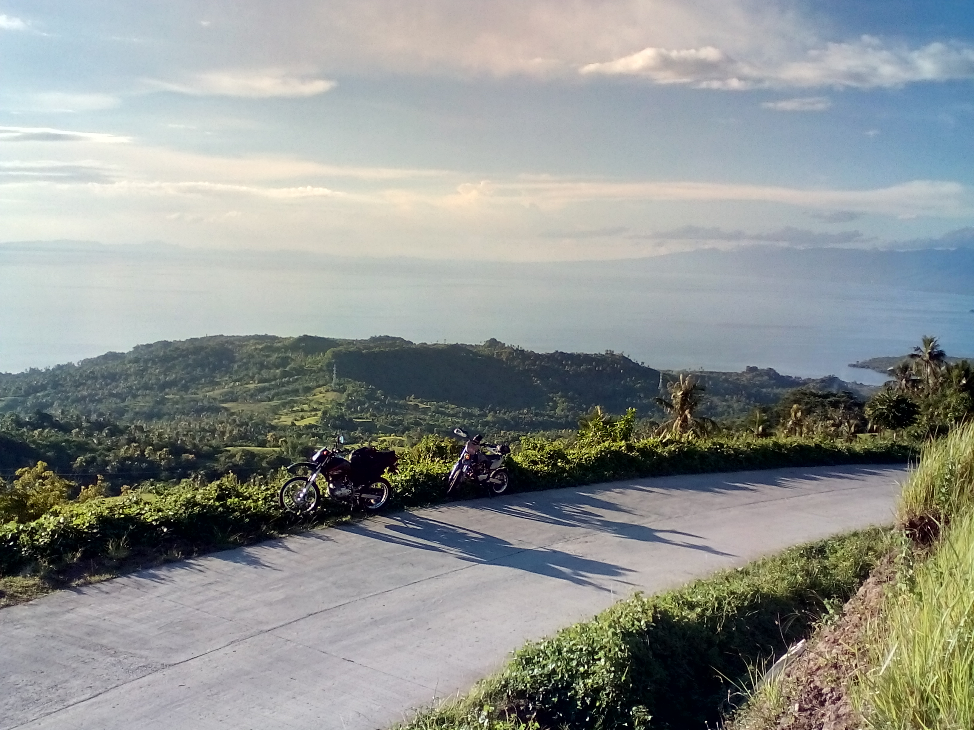
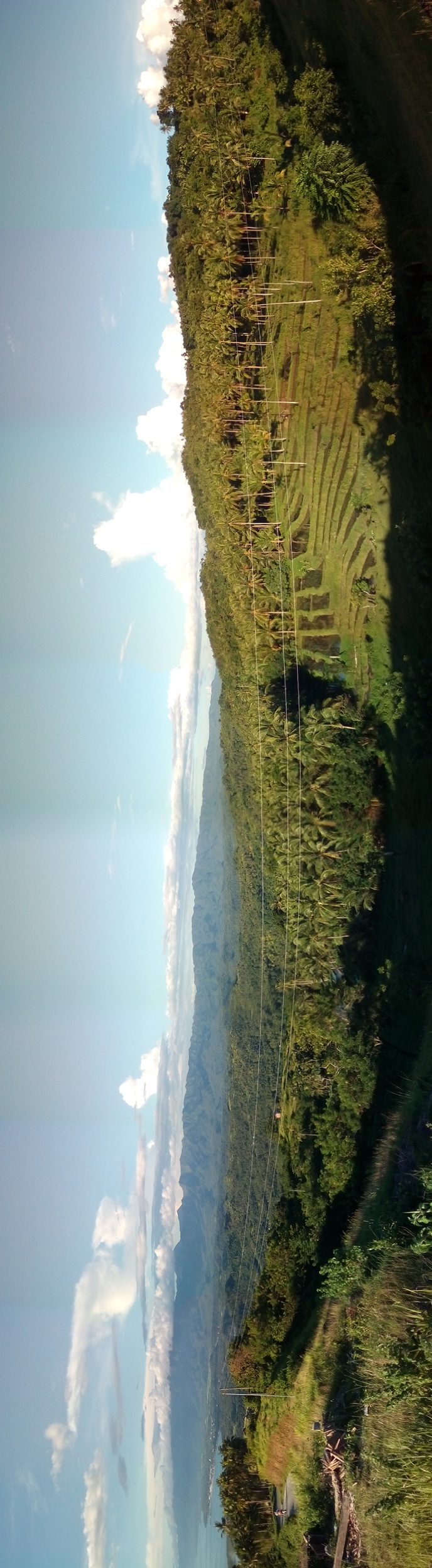
The view along the road to Lintaon Peak, Baybay City.

Sun-rice on a foggy morning in Visca, Baybay, Leyte

Group Photo @ VSU Beach

Pomponan Church

16k blossoms at Lintaon Peak, Baybay City #16kblossoms

Just out for an afternoon hike here in Visca. Mt Pangasugan, visible from any location here in the University. This mountain is still on my wishlist. Now to get some choco flavored carabao's milk. Processed of course.

Nanginhas sa honasan

Baybay Sunset
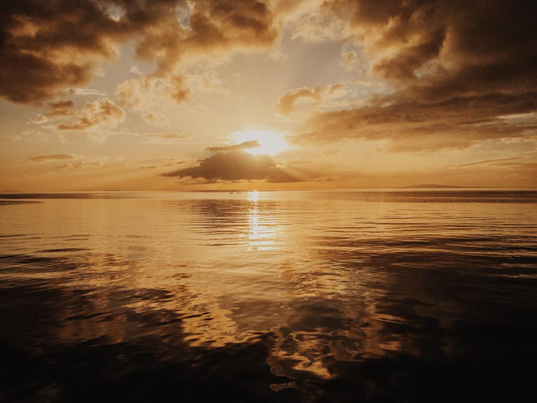
5:00PM

I've never been to a #beach this year. I had the chance last Wednesday in #Leyte, but I didn't take a dip. I did stroll though. Lol
Topographic Map of Baybay City, Leyte, Philippines
Find elevation by address:

Places in Baybay City, Leyte, Philippines:
Places near Baybay City, Leyte, Philippines:
City Of Baybay
Baybay-inopacan Road
Inopacan
Leyte
Pan-philippine Highway
Kahupian
La Paz
Poblacion 1
Sogod
Bontoc
Burauen
326 Jose P Rizal St
Lowan
Matalom North Central School (primary)
Pong-on Elementary School
Templanza
Caningag Primary School
San Salvador
Monte Alegre
Matalom
Recent Searches:
- Elevation of Corso Fratelli Cairoli, 35, Macerata MC, Italy
- Elevation of Tallevast Rd, Sarasota, FL, USA
- Elevation of 4th St E, Sonoma, CA, USA
- Elevation of Black Hollow Rd, Pennsdale, PA, USA
- Elevation of Oakland Ave, Williamsport, PA, USA
- Elevation of Pedrógão Grande, Portugal
- Elevation of Klee Dr, Martinsburg, WV, USA
- Elevation of Via Roma, Pieranica CR, Italy
- Elevation of Tavkvetili Mountain, Georgia
- Elevation of Hartfords Bluff Cir, Mt Pleasant, SC, USA