Elevation of Battle Creek Rd, Horse Shoe, NC, USA

Location: United States > North Carolina > Henderson County > Horse Shoe >

Longitude: -82.546873

Latitude: 35.3237688

Elevation: 681m / 2234feet

Barometric Pressure: 93KPa

Elevation Map:

elevation map of Battle Creek Rd, Horse Shoe, NC, USA

Satellite Map:

Satellite map of Battle Creek Rd, Horse Shoe, NC, USA

Related Photos:

forests littleriver hookerfalls ncmountains canon24704l northcarolina waterfalls ncwaterfalls stateforests transylvaniacounty april dupontstateforest 2019 riversandstreams april2019 ncforests
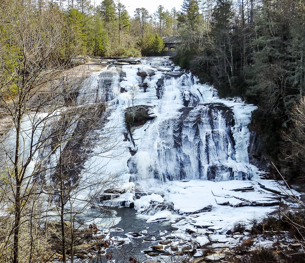
Hooker Falls, Side View
northcarolina blueridge appalachianmountains mountains westernnc nc dupontstateforest hookerfalls statepark waterfall river water outdoors nature landscape fall autumn
Hooker Falls
sunset westernnorthcarolina color blueridge appalachians canoneos6d canonef70200f28lis
sunset 3-26-20
northcarolina transylvaniacounty ncmountains forests stateforests ncforests dupontstateforest waterfalls ncwaterfalls triplefalls riversandstreams littleriver bw april2019 april 2019 canon24704l
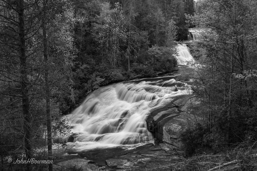
Triple Falls - Monochrome
westernnorthcarolina pisgah blueridge appalachians mountains sunset rain layers summer misty canon70200f28isl canon7dmkii
sunset 8-16-2017
northcarolina blueridge appalachianmountains mountains westernnc nc dupontstateforest hookerfalls waterfall water river autumn fall seasons outdoor nature landscape statepark
Hooker Falls
northcarolina transylvaniacounty ncmountains forests stateforests ncforests dupontstateforest waterfalls ncwaterfalls cascadesrapids riversandstreams littleriver april2019 april 2019 canon16354l
Strong Flow
bearfootin’publicartwalk bear statue sculpture
Hendersonville Bears 13 - Into The Wild
roundbale hay bale dof logs trees green baledhay lowresolutionversion ncmountainman nikon d3400 phixe
Logs and Hay
northcarolina dupontstateforest camera vintagecamera
Large Format B&W Film Camera, Dupont State Forest, North Carolina
road mist fog landscape nebel scenic northcarolina willow infrared eir irg
Jeter Mountain Fog
Hay Bale II
jet plane airport aviation flight tickets airline passenger travel visit destination firstclass luxury airplane fly asheville northcarolina ashevilleregionalairport avl runway16 landing aerialview runway pilotview aerialphotographer aerialphotography approach mountains wnc buncombecounty unitedstates
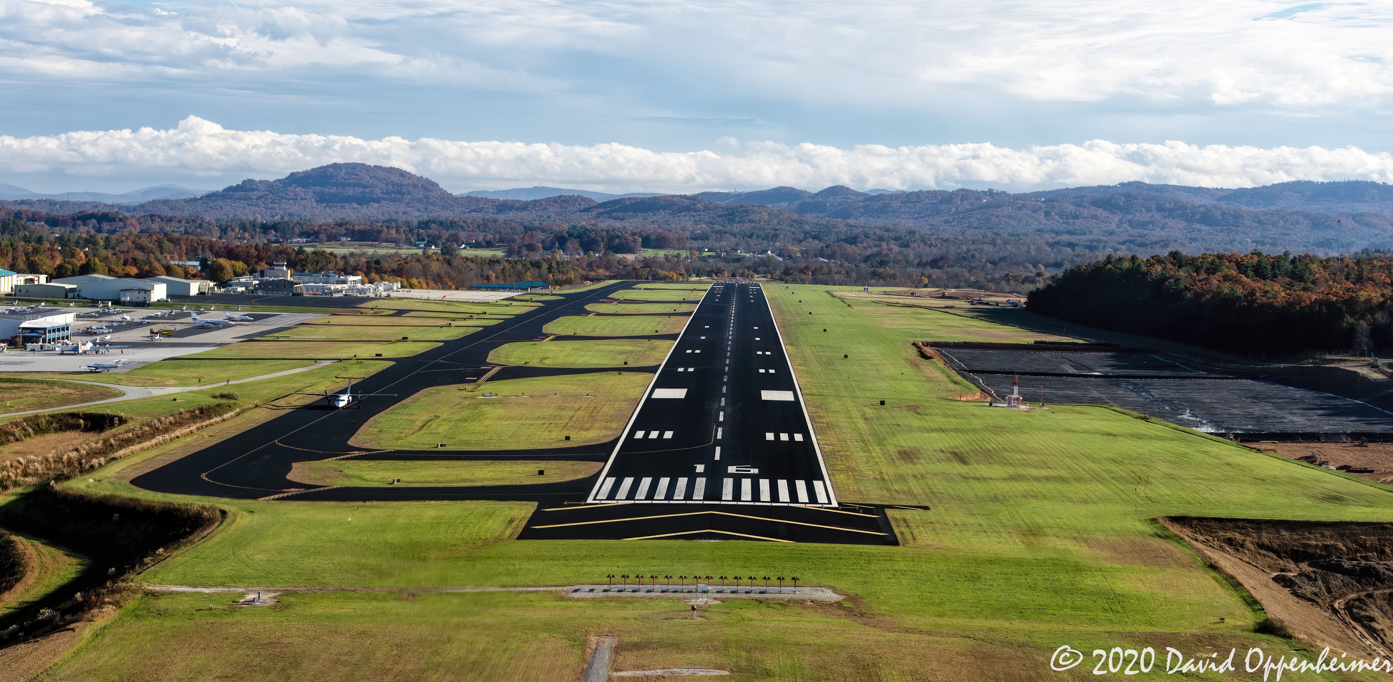
Asheville Regional Airport Runway 16 Landing Approach Aerial View
trees color fall nature water leaves forest outdoors nc woods nikon natural state vibrant northcarolina falls foliage waterfalls shutter flowing dupont appalachia silky d800 wnc dragging dupontstateforest 2470mm westernnc
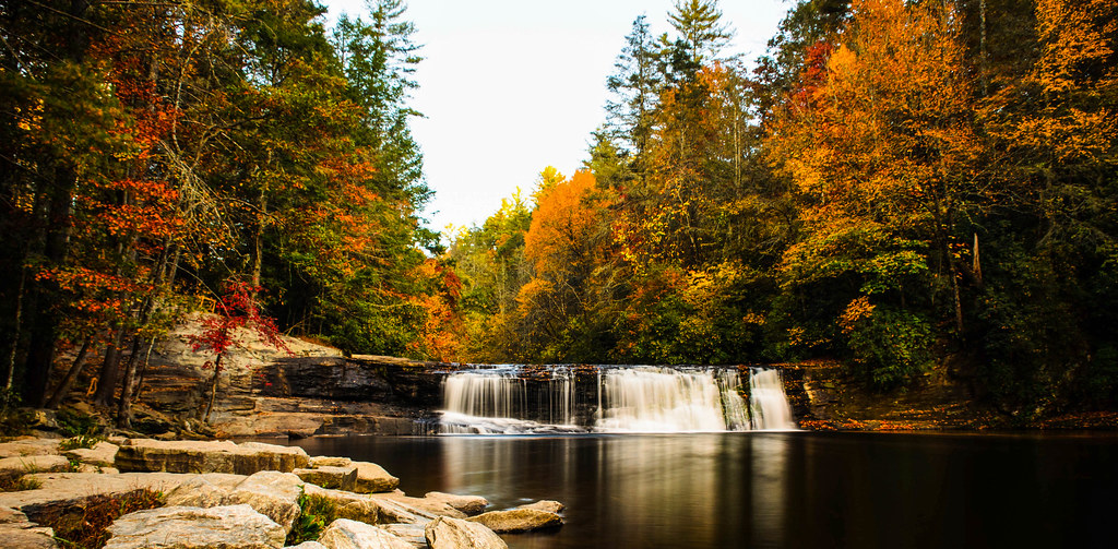
Hooker Falls in Autumn - Dupont State Forest NC
usa northcarolina waterfalls dupontstateforest
DuPont State Forest
travel blue sunset vacation mist mountains fog sunrise outdoors evening nc natural asheville north foggy northcarolina adventure ridge valley parkway carolina destination smoky peaks appalachia vapor blueridgeparkway ridges ashevegas appalachians ashevillenc ashvegas southernappalachians ashevilleairport mygearandme mygearandmepremium mygearandmebronze mygearandmesilver mygearandmegold mygearandmeplatinum mygearandmediamond
Welcome to Asheville NC - Blue Ridge Mountains Sunset
sign nc northcarolina townhall flatrock rockwork flatrocknc nikor1685vr
Flat Rock Village Hall
trafficlights trafficlight pvmccainstrafficlights pvmccainstrafficlight pvmccains pvmccain
PV McCain Traffic Lights
thedreamrocket internationalfibercollaborative saturnvrocket space nasa astronaut conservation aliens twintowers health family diversity glitter christmas newyork nova art environment clean trees water trash planting green people cancer group equality paint flag elementary school home humans agriculture mountain save leader unitedstatesofamerica facebook felt kentucky washington olympic peace presidentobama stars community global kids express explore discover war animal abuse racism religious intolerance
Sugarloaf Elementary School, Hendersonville, NC
blueridge appalachians fall autumn sunrise landscape color northcarolina westernnorthcarolina canoneos6d canonef24105mmf4lisusm
Island in the Fog
trees green nature water river outdoors unitedstates scenic northcarolina vegetation dupontstateforest augphotoimagery
River View
tree trees sun sunlight sunbeam leaf leafs fall winter autumn grass restarea interstate i26 interstatei26 apertureprioritymode wideanglelens 1018mmlens 10mm asheville ashevillenc northcarolina canont5i canon bluesky redleaves t5i 700d canon700d placescity
Asheville, North Carolina
fall leaves color beautiful road landscape rur lon pea qui alo cloudy 5div hiking northcarolina nc
One of the Best Days
longexposure green water forest waterfall nikon long exposure state north northcarolina adobe le carolina lush dupont topaz d800 lightroom dupontforest adobelightroom topazlabs nikond800 topazclarity
Lush Summer at Hooker Falls (Explored 7/2/16)
waterfall waterfallsofnorthcarolina northcarolina hookerfalls
Hooker Falls, Dupont State Forest, North Carolina
sunbeam mountains trees carolina ncmountainman d70s phixe sky therebeastormabrewin millsriver northcarolina usa storm day cloudy lowresolutionversion breathtakinglandscapes sunset nikon clouds
Sun Beam
mountains sunrise canon highway over earlymorning northcarolina explore blueridgeparkway smokymountains pisgahnationalforest canonrebeleost1i explore08072011 lyricsborrowedfromsomewhere rainbowbyeyharburg
Somewhere Over the Blue Ridge Parkway, Way Up High
snow clouds overcast landscape scenic rural northcarolina
The Guarded Way
trees mist grass fog barn rural landscape spring nebel farm northcarolina infrared
Mountain Magenta
autumn sunlight fall forest hiking path northcarolina trail hdr dupontstateforest
The Golden Path
park usa geotagged nc unitedstates map northcarolina hendersonville greenspace flatrock themeadows wnc parkmap westernnorthcarolina publicpark hendersoncounty hendersonvillenc flatrocknorthcarolina flatrocknc kingcreek conceptualmap nikonsigma hendersonvillenorthcarolina oldgolfcourse hendersoncountync hendersoncountynorthcarolina dyecreek theparkatflatrock highlandlakegolfclub preliminarymap geo:lat=3529175697 geo:lon=8243640125
The Park At Flat Rock (Flat Rock, North Carolina)
longexposure trees summer usa motion blur green nature water leaves rock creek forest river landscape geotagged outdoors photography landscapes waterfall nc nikon scenery rocks stream slow unitedstates natural outdoor scenic northcarolina falls foliage motionblur waterfalls riverbed slowshutter carolina serene flowing mountainside polarizer sevenfalls basslake silky cpl watercourse circularpolarizer frenchbroadriver d800 fstop waterflow wnc rrs etowah naturesfinest westernnorthcarolina flowingwater etowahnc gorelake nikond800 fstopbag littlewillowcreek reallyrightstufftripod smilky fstoploka etowahnorthcarolina pleasantgrovechurchroad sevenfallsetowah sevenfallsetowahnc geo:lat=3528269177 geo:lon=8259793997
Seven Falls (Etowah, North Carolina)
landscape northcarolina westernnorthcarolina sky clouds light blueridge canonefm18150 canoneosm6mkii
Happy 4th of July!
flatrock northcarolina carlsandburg nationalhistoricsite carl sandburg national historic site landscape water reflection south southern house nc flat rock north carolina
The Carl Sandburg National Historic Site
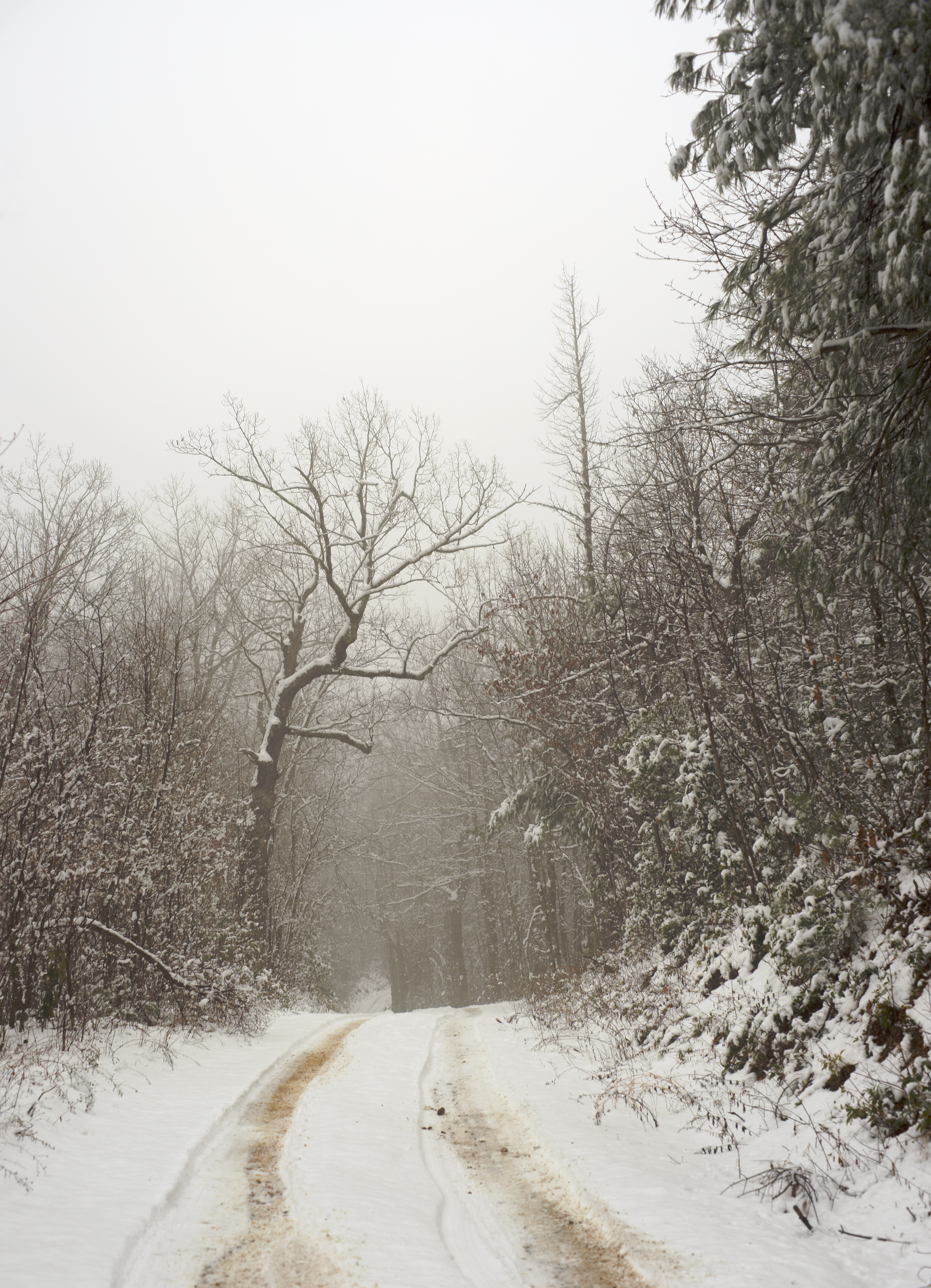
fog mist autumn northcarolina trees landscape rural
Road to Nowhere
dupontstaterecreationalforest falls forest highfalls ice icicles littleriver nationalforest nature nc northcarolina outdoor road snow trees water waterfalls westernnorthcarolina winter wnc
High Falls-1685
geo:lat=3541952815 geo:lon=8267526940 geotagged stonyfork unitedstates usa bigcreek cascade creek dam fletchercreek fletchercreekroad forest fs142 hendersoncounty hendersonvillereservoir hendersonvillereservoirdam hendersonvillereservoirdamcascade hendersonvillereservoirroad landscape log millsriver millsriverarea millsrivernorthcarolina millsriverwatershed nationalforest nc nikond7000 northcarolina northmillsriver outdoor panorama panoramicimage pisgah pisgahnationalforest pisgahrangerdistrict pnf reservoir reservoirroad river rocks runningwater spencergaptrail stitchedimage stone stream water watercourse waterfall waterscape whitewater
Hendersonville Reservoir Dam (Pisgah National Forest)
longexposure trees summer usa motion blur green nature water leaves rock creek forest river landscape geotagged outdoors photography landscapes waterfall nc nikon scenery rocks stream slow unitedstates natural outdoor scenic northcarolina falls foliage motionblur waterfalls riverbed slowshutter carolina serene flowing mountainside polarizer sevenfalls basslake silky cpl watercourse circularpolarizer frenchbroadriver d800 fstop waterflow wnc rrs etowah naturesfinest westernnorthcarolina flowingwater etowahnc gorelake nikond800 fstopbag littlewillowcreek reallyrightstufftripod smilky fstoploka geo:lat=3528280124 geo:lon=8259795338 etowahnorthcarolina pleasantgrovechurchroad sevenfallsetowah sevenfallsetowahnc
Seven Falls (Etowah, North Carolina)