Elevation of Bass Bay Rd, Big Sandy, TN, USA
Location: United States > Tennessee > Benton County > Big Sandy >
Longitude: -87.975245
Latitude: 36.282299
Elevation: 128m / 420feet
Barometric Pressure: 100KPa
Elevation Map:
Satellite Map:
Related Photos:
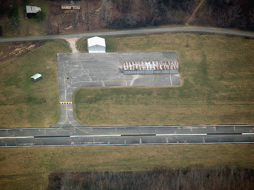
M93, Houston County-McKinnon, Tennesee airport
M93, McKinnon, Tennessee
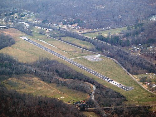
Big Sandy,TN
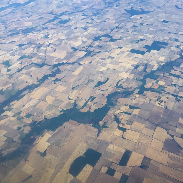
Landscape checkerboard

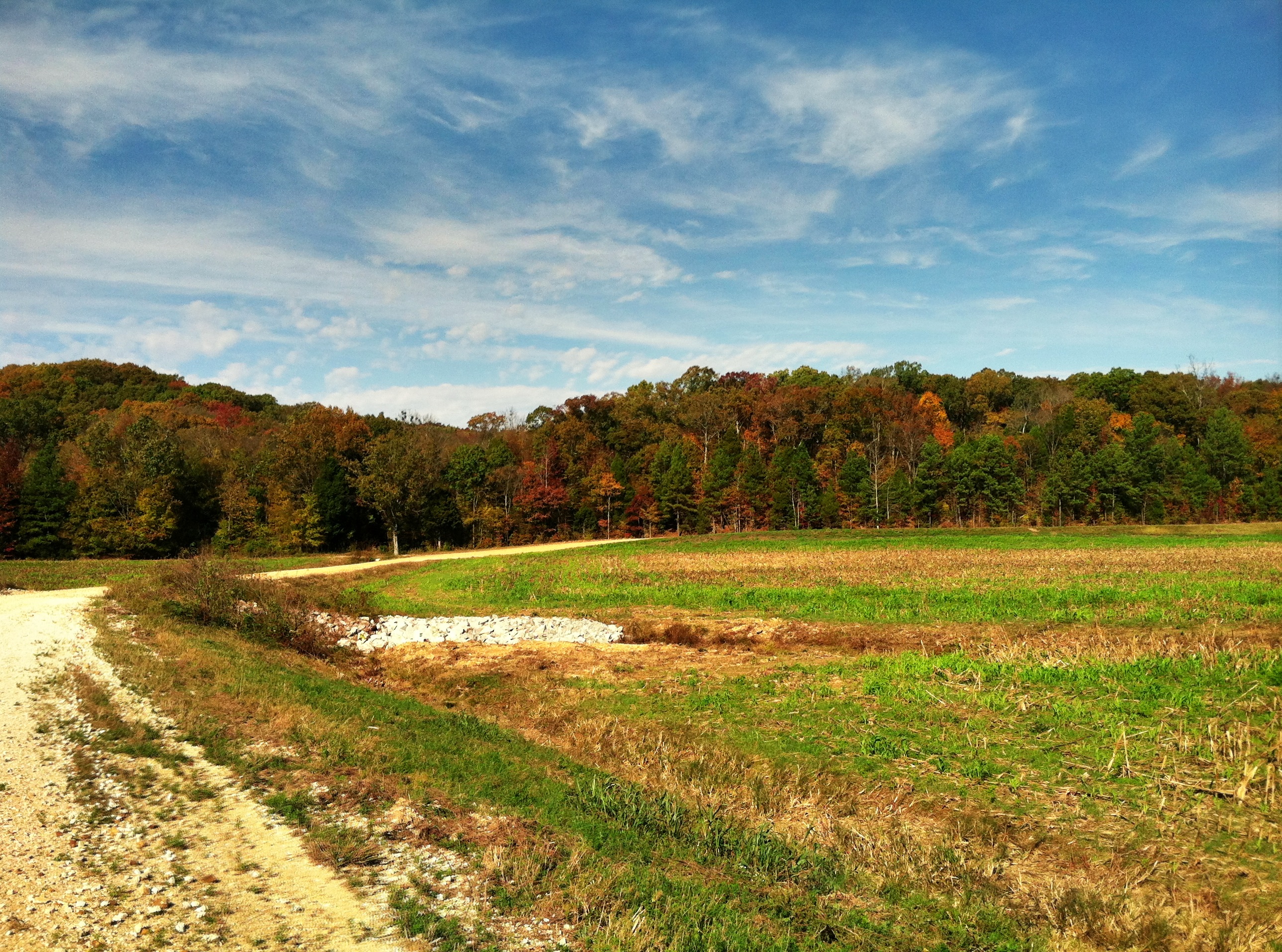
Tennessee River

Tennessee River

Tennessee River

Tennessee River

Tennessee River

Ferry Ride on TN River

Tennessee River

Tennessee River

Tennessee River at Danville (Houston County)
Topographic Map of Bass Bay Rd, Big Sandy, TN, USA
Find elevation by address:

Places near Bass Bay Rd, Big Sandy, TN, USA:
11777 Tn-147
385 Caney Branch Rd
Big Sandy
50 Tn-147
12435 Tn-69a
12435 Tn-69a
12435 Tn-69a
12435 Tn-69a
12435 Tn-69a
12435 Tn-69a
12435 Tn-69a
12595 Tn-69a
45 Holland Rd
Stewart
138 Deep Rd
834 Upper Standing Rock Rd
3122 Old Stewart Rd
Richland Harbor Road
100 Pleasant View Resort Rd
Halls Creek Rd, Waverly, TN, USA
Recent Searches:
- Elevation of Corso Fratelli Cairoli, 35, Macerata MC, Italy
- Elevation of Tallevast Rd, Sarasota, FL, USA
- Elevation of 4th St E, Sonoma, CA, USA
- Elevation of Black Hollow Rd, Pennsdale, PA, USA
- Elevation of Oakland Ave, Williamsport, PA, USA
- Elevation of Pedrógão Grande, Portugal
- Elevation of Klee Dr, Martinsburg, WV, USA
- Elevation of Via Roma, Pieranica CR, Italy
- Elevation of Tavkvetili Mountain, Georgia
- Elevation of Hartfords Bluff Cir, Mt Pleasant, SC, USA