Elevation of Base Aérienne, Avenue Colonel Chambonnet, Ambérieu-en-Bugey, France
Location: France > Ain > Château-gaillard >
Longitude: 5.3310956
Latitude: 45.9823118
Elevation: 247m / 810feet
Barometric Pressure: 98KPa
Elevation Map:
Satellite Map:
Related Photos:
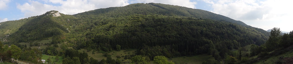
Verte campagne Française
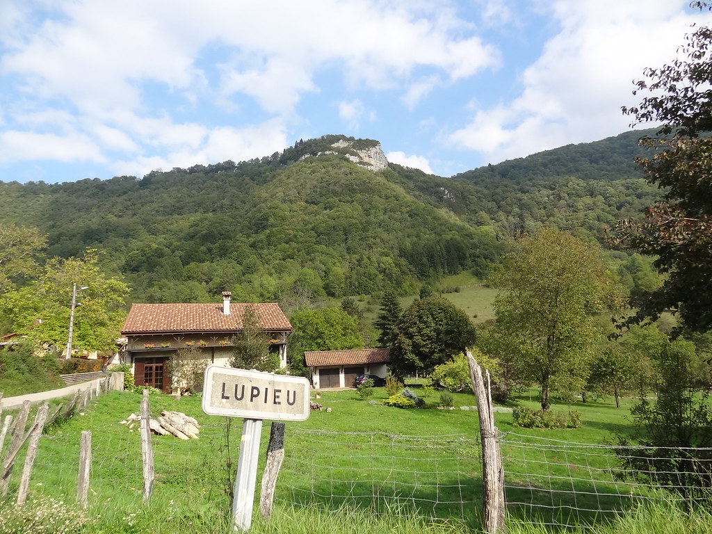
Lupieu, un village Français

View from Pérouges
Topographic Map of Base Aérienne, Avenue Colonel Chambonnet, Ambérieu-en-Bugey, France
Find elevation by address:

Places near Base Aérienne, Avenue Colonel Chambonnet, Ambérieu-en-Bugey, France:
Château-gaillard
7 Impasse Cuvier, Saint-Denis-en-Bugey, France
Saint-denis-en-bugey
Ambérieu-en-bugey
8 Rue des Iris, Ambronay, France
Ambronay
Priay
Montée de Bellegarde, Priay, France
13 Varambon, Varambon, France
Varambon
Pont-d'ain
Vertrieu
Villieu-loyes-mollon
1 Petit Buchin, Villieu-Loyes-Mollon, France
59 Donsonnas E, La Tranclière, France
La Tranclière
10 Route de Salles, Tossiat, France
Tossiat
Saint-alban
Porcieu-amblagnieu
Recent Searches:
- Elevation of Corso Fratelli Cairoli, 35, Macerata MC, Italy
- Elevation of Tallevast Rd, Sarasota, FL, USA
- Elevation of 4th St E, Sonoma, CA, USA
- Elevation of Black Hollow Rd, Pennsdale, PA, USA
- Elevation of Oakland Ave, Williamsport, PA, USA
- Elevation of Pedrógão Grande, Portugal
- Elevation of Klee Dr, Martinsburg, WV, USA
- Elevation of Via Roma, Pieranica CR, Italy
- Elevation of Tavkvetili Mountain, Georgia
- Elevation of Hartfords Bluff Cir, Mt Pleasant, SC, USA