Elevation of Basar, Telangana, India
Location: India > Telangana > Adilabad >
Longitude: 77.9538767
Latitude: 18.8801751
Elevation: 347m / 1138feet
Barometric Pressure: 97KPa
Elevation Map:
Satellite Map:
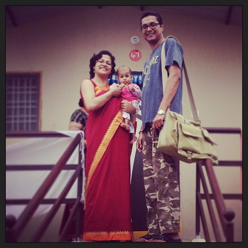
Related Photos:
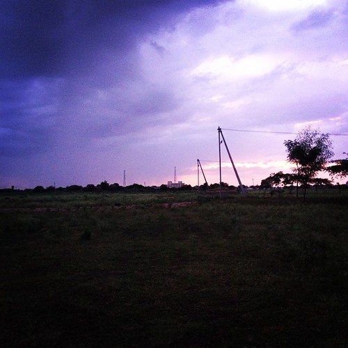
Purple Skies of Basara
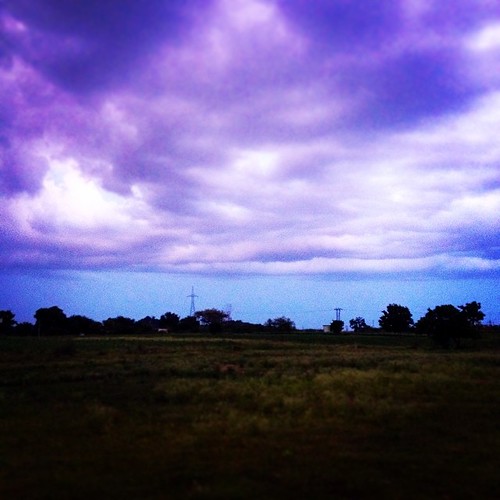
The Purple Skies of Basara
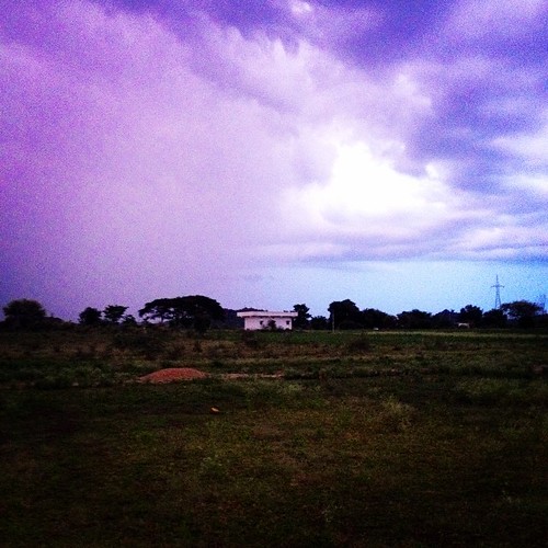
The Purple Skies of Basara
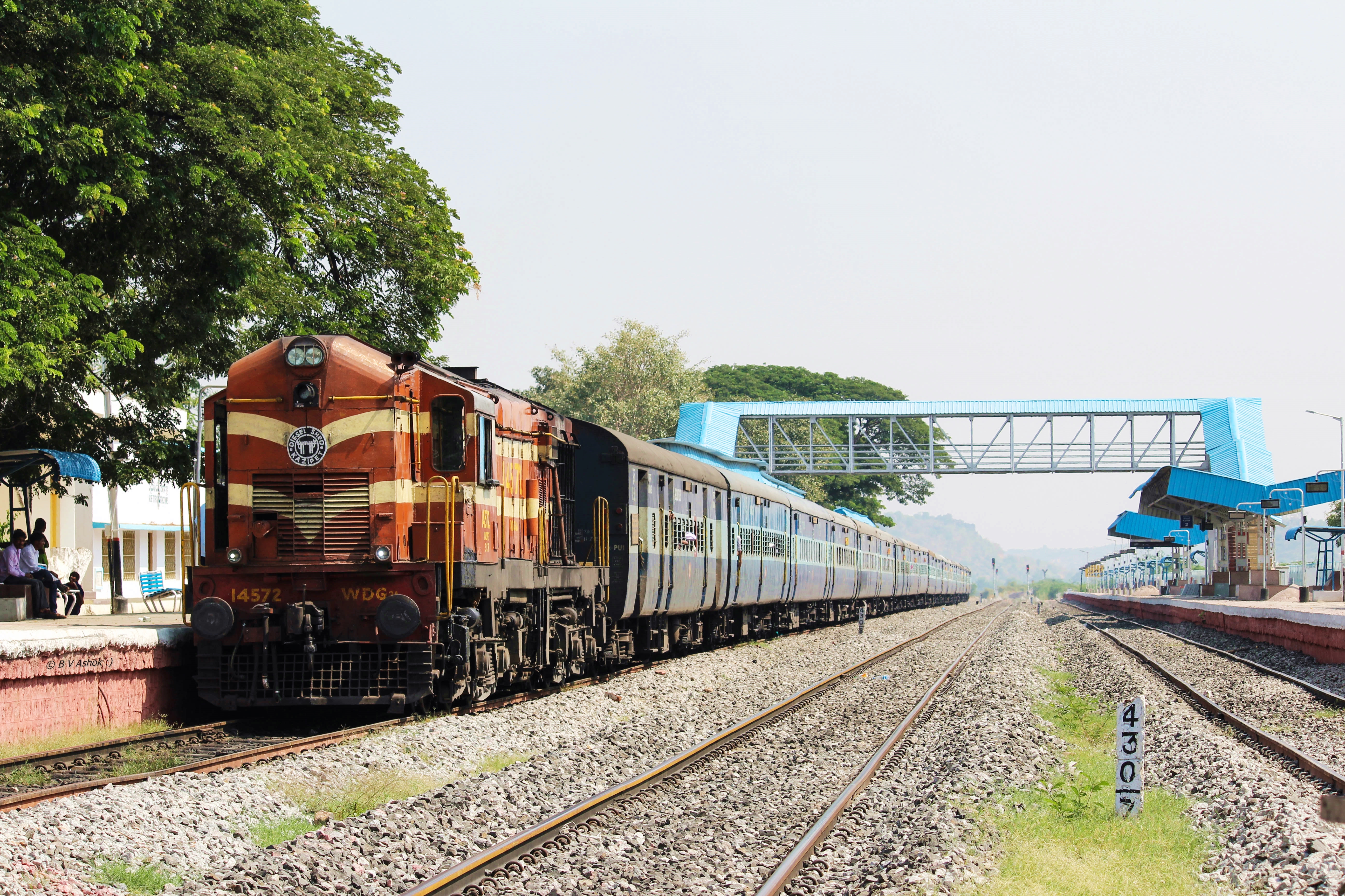
Nagavali Exp.
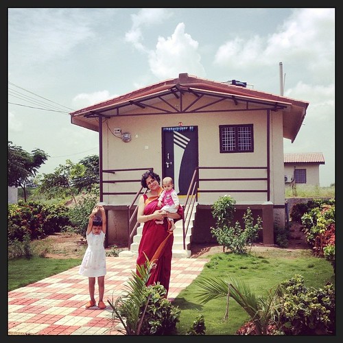
Chota as ghar
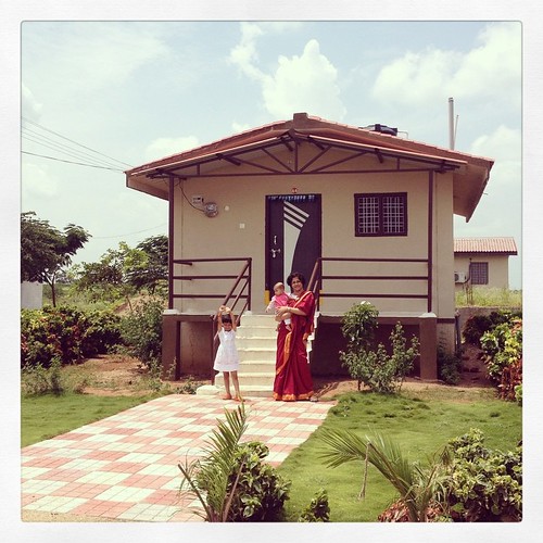
Chota sa ghar
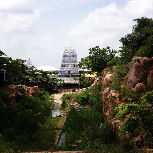
Gnana Saraswati Temple, Basara
Teesta's first photograph
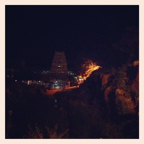
Gnana Saraswati Temple Ravine at Night

Besökare Samtidigt
Topographic Map of Basar, Telangana, India
Find elevation by address:

Places near Basar, Telangana, India:
Nandipet
Nizamabad
Nizamabad
Armoor
Jakranpally
Dichpally
Balkonda
Sriram Sagar Project
Nirmal
Velpoor
Dubbaka Bus Stand
Dubbaka
Banswada
Gandhari
Morthad
Laxmanchanda
Bichkunda
Kammarpally
Karadpalli
Sadashiva Nagar
Recent Searches:
- Elevation of Corso Fratelli Cairoli, 35, Macerata MC, Italy
- Elevation of Tallevast Rd, Sarasota, FL, USA
- Elevation of 4th St E, Sonoma, CA, USA
- Elevation of Black Hollow Rd, Pennsdale, PA, USA
- Elevation of Oakland Ave, Williamsport, PA, USA
- Elevation of Pedrógão Grande, Portugal
- Elevation of Klee Dr, Martinsburg, WV, USA
- Elevation of Via Roma, Pieranica CR, Italy
- Elevation of Tavkvetili Mountain, Georgia
- Elevation of Hartfords Bluff Cir, Mt Pleasant, SC, USA