Elevation of Barren Hill Rd, Grand River, NS B0E 1M0, Canada
Location: Canada > Nova Scotia > Richmond County > Richmond, Subd. B > Grand River >
Longitude: -60.596502
Latitude: 45.676452
Elevation: 67m / 220feet
Barometric Pressure: 101KPa
Elevation Map:
Satellite Map:
Related Photos:
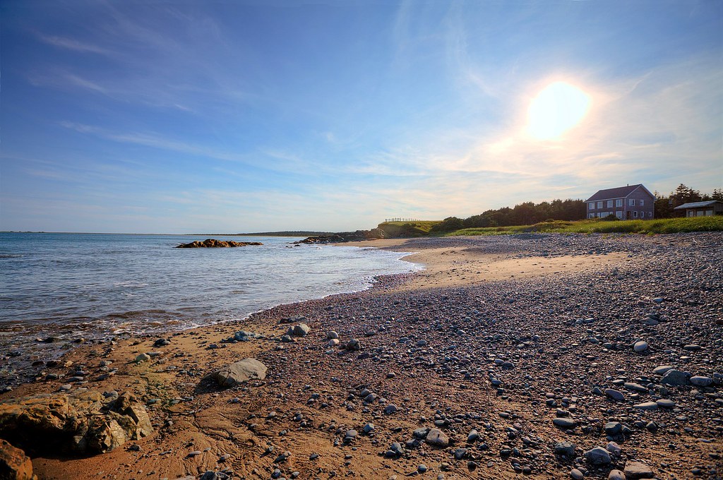
Point Michaud Beach House

Cape Breton Beach View
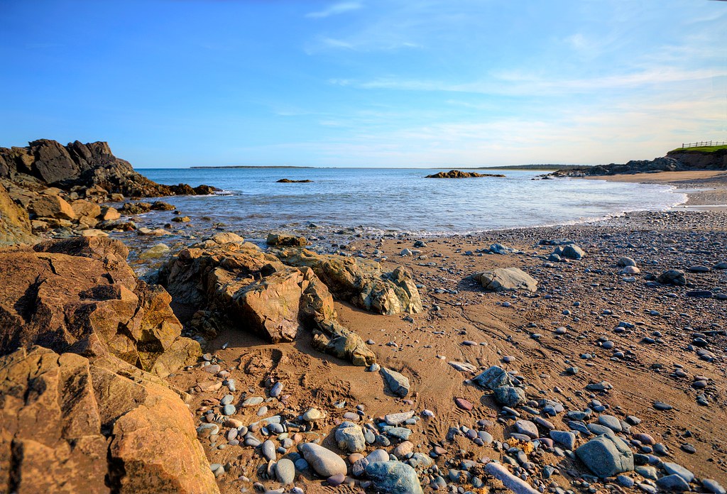
Point Michaud Beach Rocks
Point Michaud Beach 2
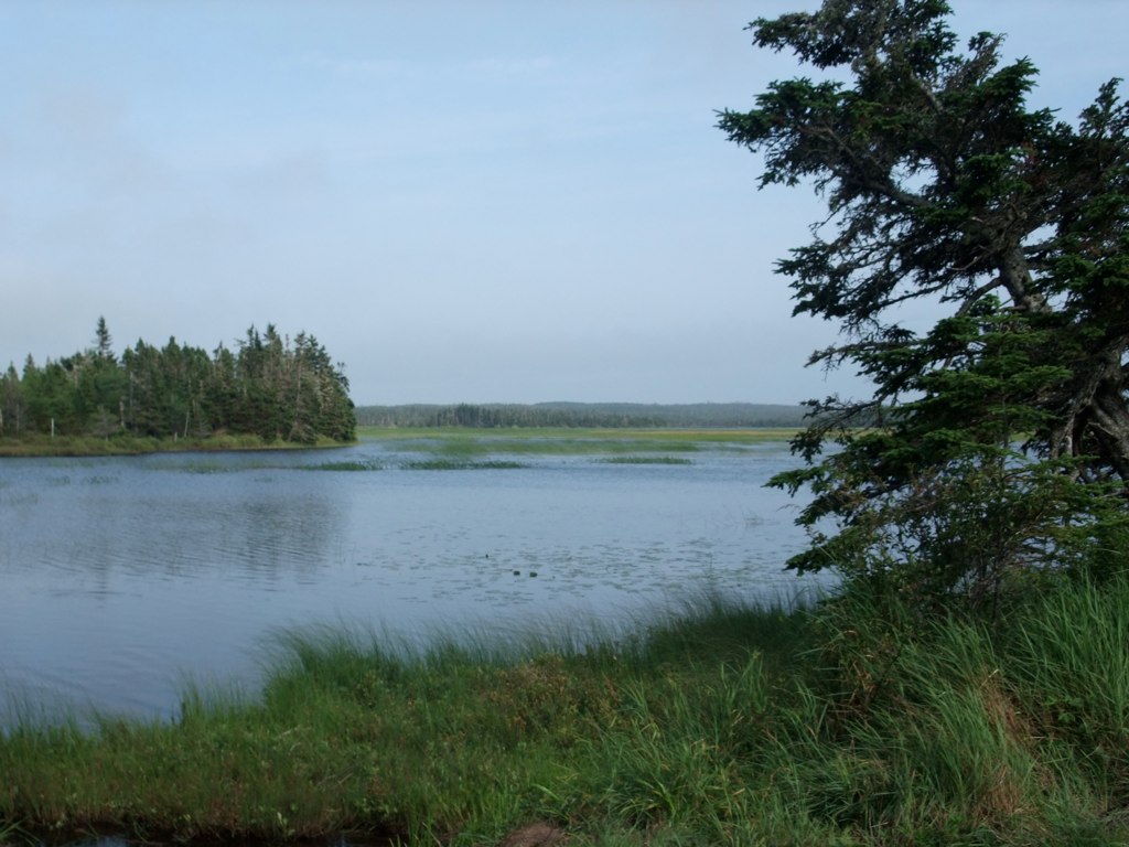
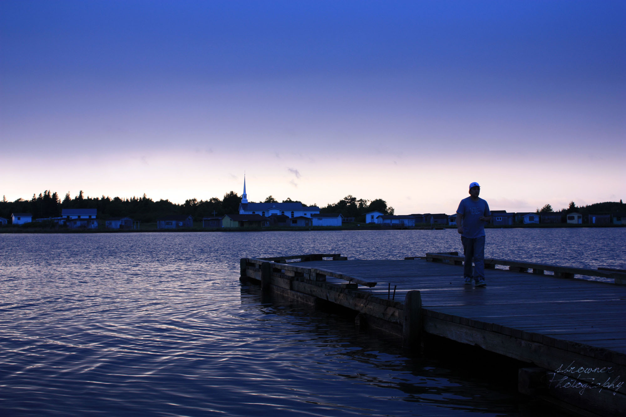
St. Esprit Lake
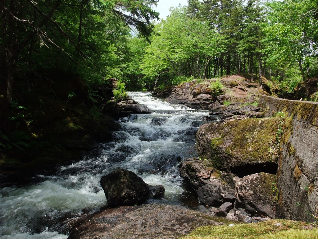
Grand River Falls
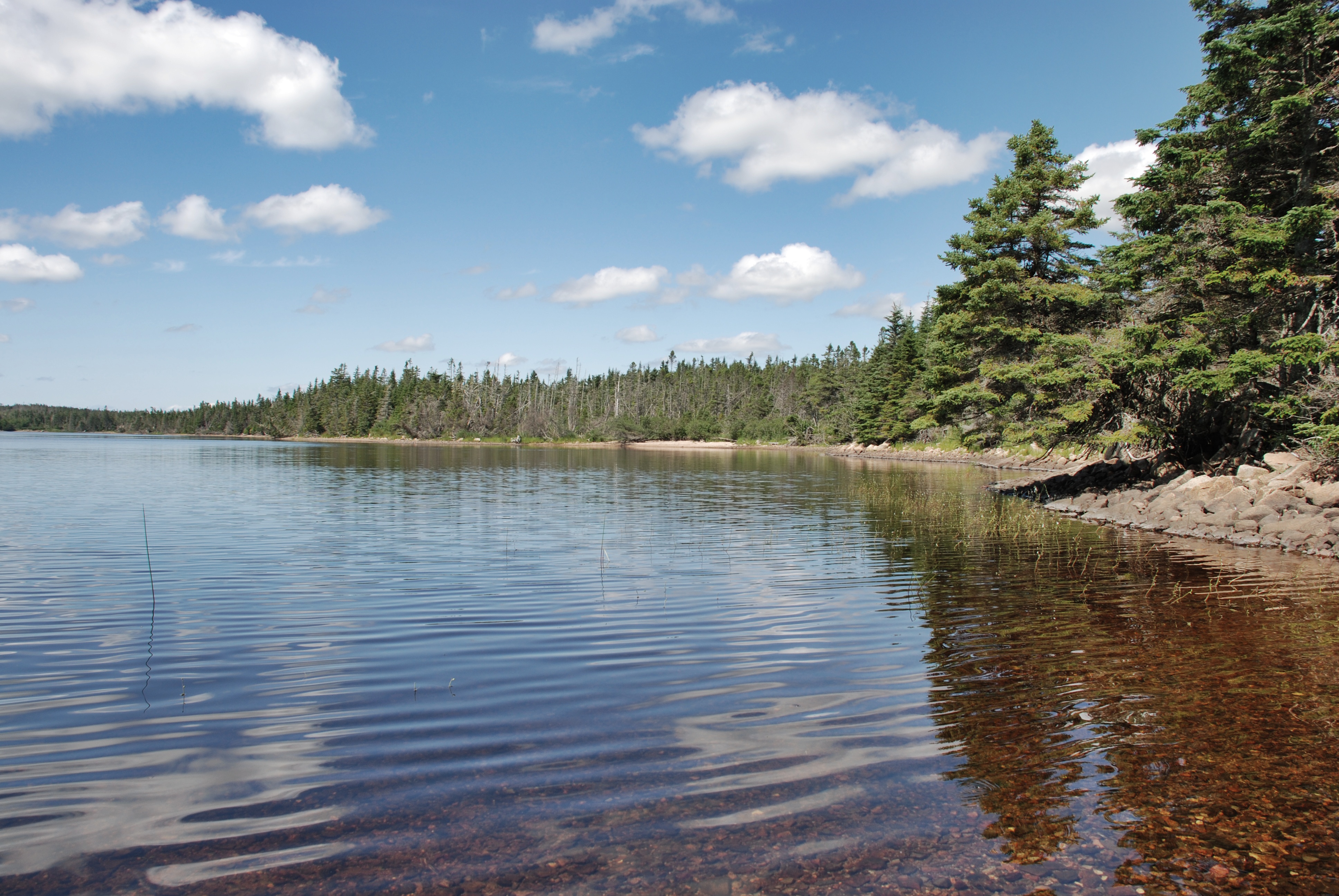
St. Esprit Lake
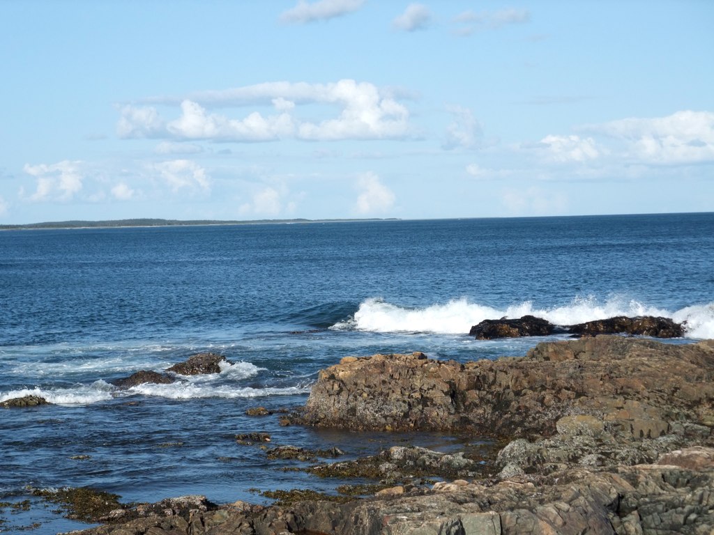
Shoreline Cape Breton Island
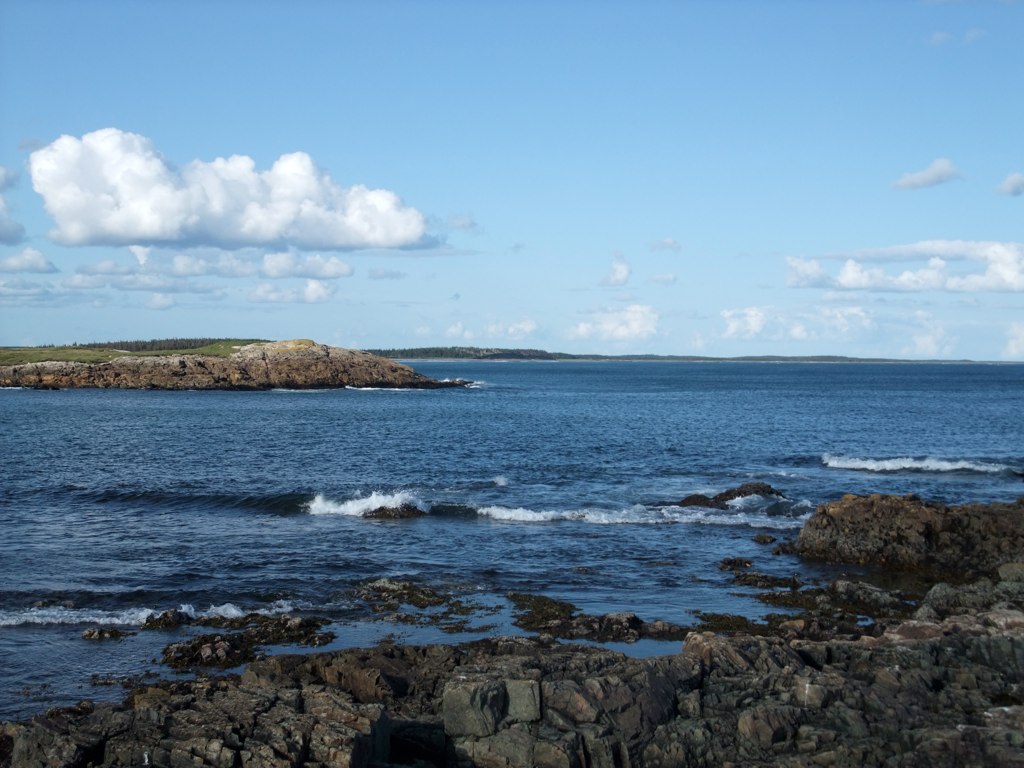
Shoreline Cape Breton Island
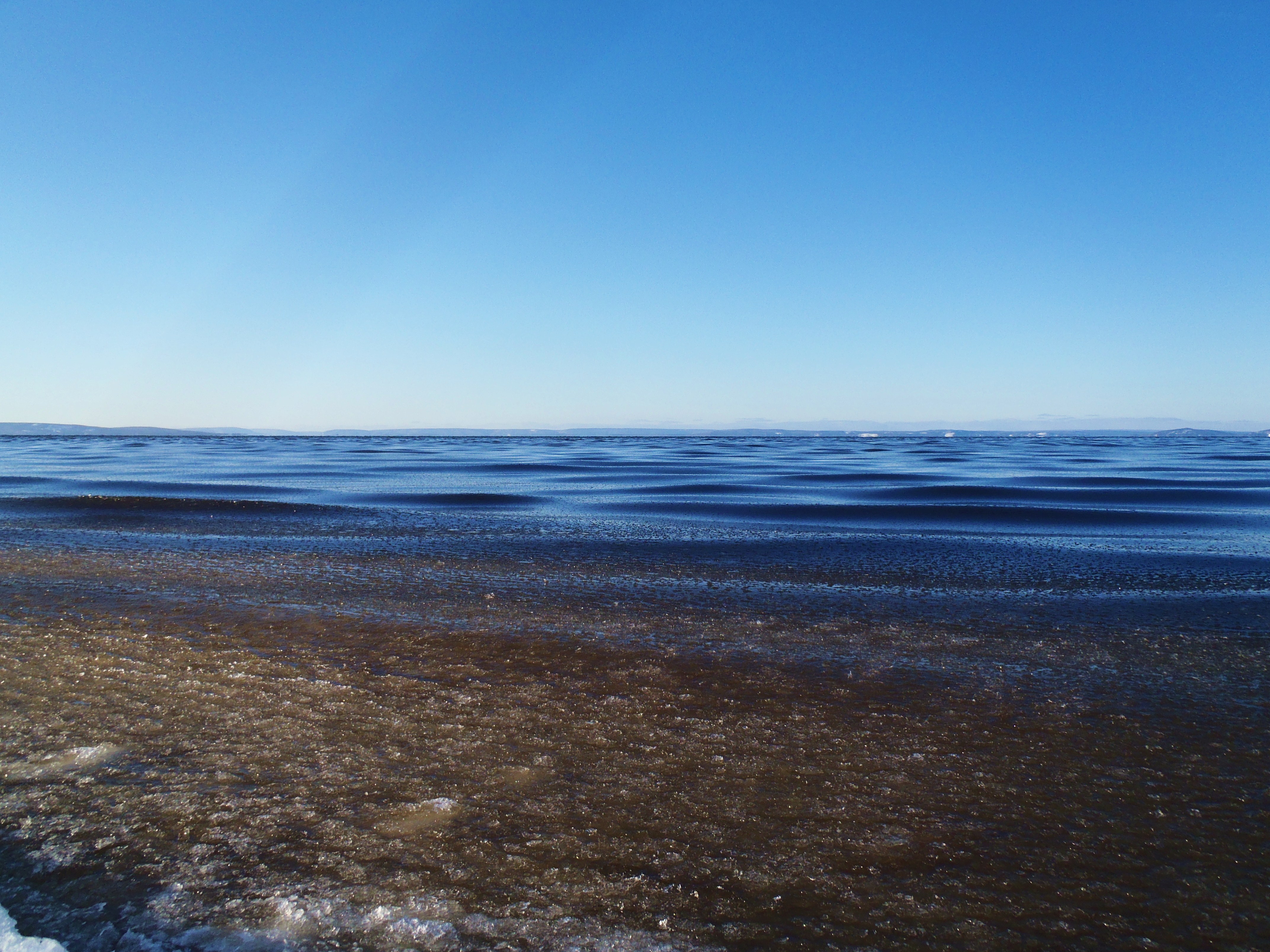
late ice formation
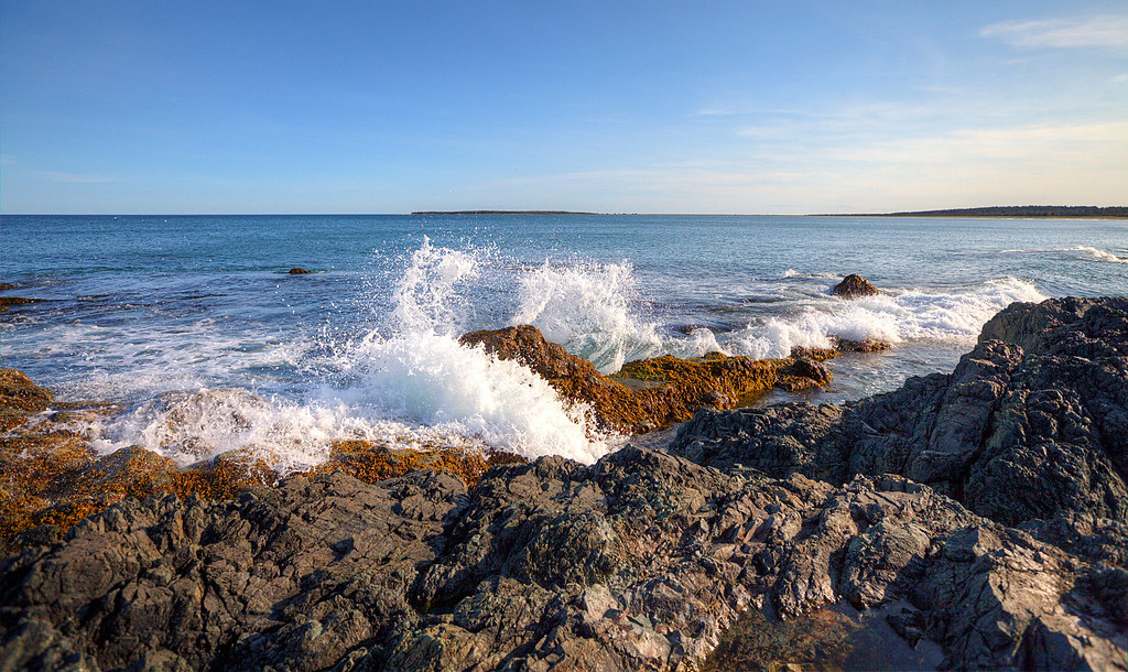
Waves Crashing at Point Michaud
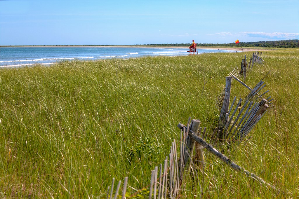
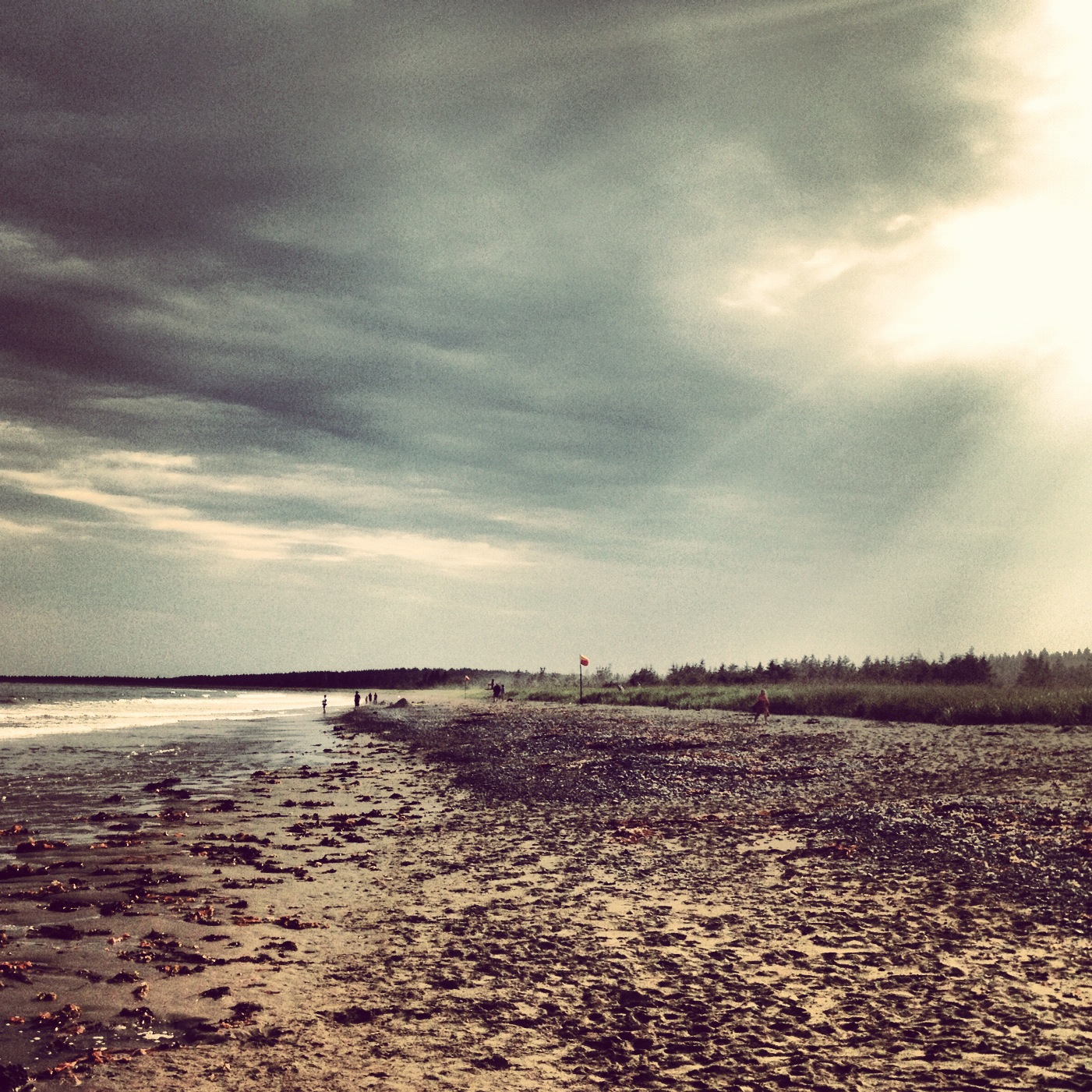
Point Michaud Beach
My Shadows The Only One Who Walks Beside Me.

Point Michaud
Topographic Map of Barren Hill Rd, Grand River, NS B0E 1M0, Canada
Find elevation by address:

Places near Barren Hill Rd, Grand River, NS B0E 1M0, Canada:
749 Barren Hill Rd
1991 Loch Lomond Rd
Richmond County
860 Eastside Grand River Rd
Grand River
Point Michaud Rd, Grand River, NS B0E 1M0, Canada
Enon
290 Macvicar Rd
NS-4, Grand River, NS B0E 1M0, Canada
NS-4, St. Peter's, NS B0E 3B0, Canada
Mountain Road, St. Peter's, NS B0E 3B0, Canada
NS-, St. Peter's, NS B0E 3B0, Canada
L'ardoise
NS-4, Grand River, NS B0E 1M0, Canada
1100 Loch Lomond Rd
53 Ranson Rd, St. Peter's, NS B0E 3B0, Canada
19 French Cove Rd, St. Peter's, NS B0E 3B0, Canada
Corbetts Cove Rd, St. Peter's, NS B0E 3B0, Canada
Castle Bay
664 Castle Bay Rd
Recent Searches:
- Elevation of Corso Fratelli Cairoli, 35, Macerata MC, Italy
- Elevation of Tallevast Rd, Sarasota, FL, USA
- Elevation of 4th St E, Sonoma, CA, USA
- Elevation of Black Hollow Rd, Pennsdale, PA, USA
- Elevation of Oakland Ave, Williamsport, PA, USA
- Elevation of Pedrógão Grande, Portugal
- Elevation of Klee Dr, Martinsburg, WV, USA
- Elevation of Via Roma, Pieranica CR, Italy
- Elevation of Tavkvetili Mountain, Georgia
- Elevation of Hartfords Bluff Cir, Mt Pleasant, SC, USA