Elevation of Barre St, Montpelier, VT, USA

Location: United States > Vermont > Washington County > Montpelier >

Longitude: -72.559813

Latitude: 44.2511216

Elevation: 165m / 541feet

Barometric Pressure: 99KPa

Elevation Map:

elevation map of Barre St, Montpelier, VT, USA
Satellite Map:

Satellite map of Barre St, Montpelier, VT, USA

Related Photos:

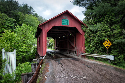
coveredbridge dogriver northfieldfalls vermont newengland fall autumn slaughterhousebridge america usa northamerica canon canon6d canoneos geotagged digital 1872coveredbridge 1740l hdr photomatix tonemapping northfieldvermont scenic landscape woodenstructure structure bridge countryside
Slaughter House Covered Bridge
vermont landscape water reflection clouds
Wrightsville Reservoir
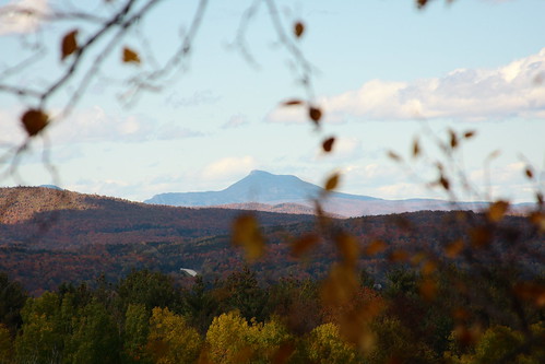
autumn mountain fall vermont view foliage vt camelshump graniteville canon40d
View of Camel's Hump
Calais view
blue trees mountains green field vermont view farmland hay 500x500
Vermont Vista
sunset sky nature fog sunrise landscape lights spring interesting photoshope
Monrning view with clouds
Spruce Mountain, Vermont
Boston view
usa brick museum architecture square vermont columns veranda 1978 sq vt vhs montpelier 2010 historicdistrict flowerboxes washingtoncounty nationalregisterofhistoricplaces roundarch vermonthistoricalsociety capitolgrounds nrhp origamidon donshall montpeliervermontusa worldwidephotowalk 2storyveranda vermonthistoricalsocietymuseum columns•flowerboxes 109statestreet montpelierhistoricdistrict 78000246 pavilionofficebuilding
Pavilion Office Building
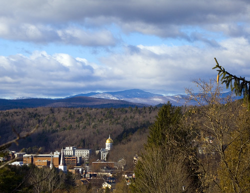
autumn usa canon eos us vermont unitedstates newengland montpelier greenmountains northernnewengland étatsunis 50d northernvermont canoneos50d 2012montpeliervermontétatsunis
View on Montpelier
Montpelier, VT, State House view (2)
vermont statecapitol montpelier
onion-river-montpelier-sm
road pink trees sunset sky panorama grass clouds barn vermont montpelier
Montpelier Sunset
usa window architecture square vermont cone walkway photowalk outlook sq 2009 vt montpelier capitolbuilding lookingout washingtoncounty cutstone origamidon donshall montpeliervermontusa worldwidephotowalk capitol•outlook
capitol • outlook
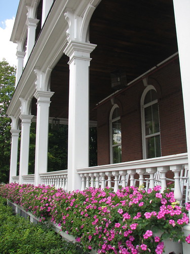
usa museum architecture vermont veranda 1978 2009 vt vhs montpelier historicdistrict washingtoncounty nationalregisterofhistoricplaces vermonthistoricalsociety capitolgrounds nrhp origamidon donshall montpeliervermontusa worldwidephotowalk columned•view 2storyveranda vermonthistoricalsocietymuseum 109statestreet montpelierhistoricdistrict 78000246 pavilionofficebuilding
columned • view
sky mountains vermont view capital montpelier
Montpelier from Kinstead Corner
sunset sky nature grass sunrise landscape lights spring interesting photoshope
Morning sun rise view
Spruce Mountain, Vermont
trees sky field clouds vermont view panoramic bb iphone comstock
View from Comstock B&B
usa brick museum architecture vermont columns veranda 1978 2009 vt vhs montpelier historicdistrict flowerboxes washingtoncounty nationalregisterofhistoricplaces roundarch vermonthistoricalsociety capitolgrounds nrhp origamidon donshall montpeliervermontusa worldwidephotowalk 2storyveranda vermonthistoricalsocietymuseum columns•flowerboxes 109statestreet montpelierhistoricdistrict 78000246 pavilionofficebuilding
columns • flower.boxes
vermont capitol government legislature montpelier
View from the State Capitol
autumn building fall abandoned nature barn landscape maple nikon vermont farm down falling foliage calais vt corners btv d610 fav10 2485vr
Abandoned Barn
2485vr autumn btv d610 fall nature vt nikon foliage vermont landscape field gold corn
Field of Gold
don3rdse 3rdsiblingphotography canon canon5d 5dmkiii eos may 2017 northfieldfalls vt vermont greenmountains scene scenic mountains coveredbridge landscape hdr clouds sky green trees architecture bridge 1872 coxbrook dogriver
1872 Cox Brook Covered Bridge
usa architecture square nhl vermont nps veranda photowalk 1970 longview nationalparkservice sq statestreet vt ceres montpelier portico 2010 capitolbuilding 1859 1836 goldendome nationalhistoriclandmark washingtoncounty nationalregisterofhistoricplaces nrhp vermontstatehouse origamidon donshall larkingoldsmithmead montpeliervermontusa worldwidephotowalk 70000739 thomaswsilloway josephrrichards ceres•framed
ceres • goddess.of.agriculture
geotagged waterfall vermont blueribbonwinner impressedbeauty geo:lat=4414256 geo:lon=7253374
Falls Bridge 3
Fall colors in Vermont
barn farm field landscape nature mountain waterbury center vermont btv vt sony dsch50 ps h50 superzoom fav10 building redbarn
The Red Barn
autumn trees mountains reflection fall water leaves clouds vermont reservoir foliage middlesex wrightsville absolutelystunningscapes
Wrightsville in Autumn
autumn sky fall nature field clouds landscape maple nikon vermont farm foliage calais vt cirrus corners btv d610 2485vr
Calais Vermont Foliage
pink flower butterfly weed joe fritillary pye photocontesttnc12
Fritillary Butterfly on Joe Pye Weed
Center Road
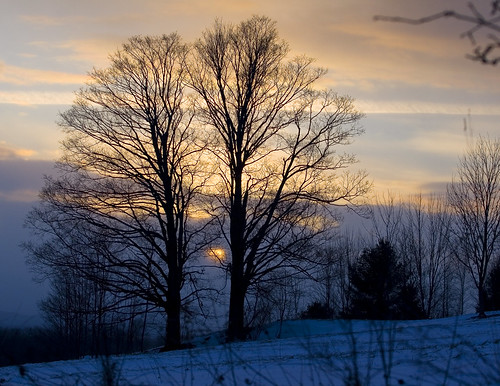
winter sunset sky snow tree nature field landscape vermont
Two as One
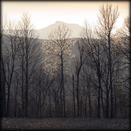
trees mountain field landscape spring corn vermont blossoms backlit camels hump 500x500
Camels Hump in Springtime
square squareformat 1977 iphoneography instagramapp uploaded:by=instagram foursquare:venue=4bddd4a7e75c0f47ddc7c503
The clouds lift, finally
October Evening
autumn fall nature landscape pond nikon vermont foliage vt btv adamant d610 2485vr
September Foliage
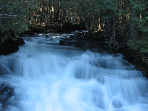
geotagged waterfall vermont geo:lat=4414256 geo:lon=7253374
Falls Bridge 1
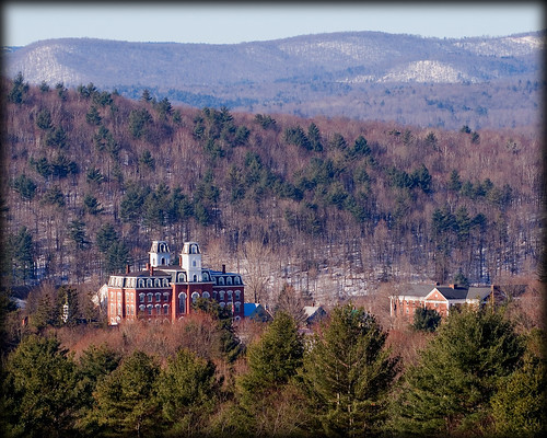
college vermont montpelier
Vermont College
road autumn fall nature landscape nikon vermont foliage dirt templeton rd vt montpelier btv d610 2485vr
Templeton Rd Foliage