Elevation of Barmer, Rajasthan, India
Location: India > Rajasthan > Barmer >
Longitude: 71.4180622
Latitude: 25.7531537
Elevation: 173m / 568feet
Barometric Pressure: 0KPa
Related Photos:

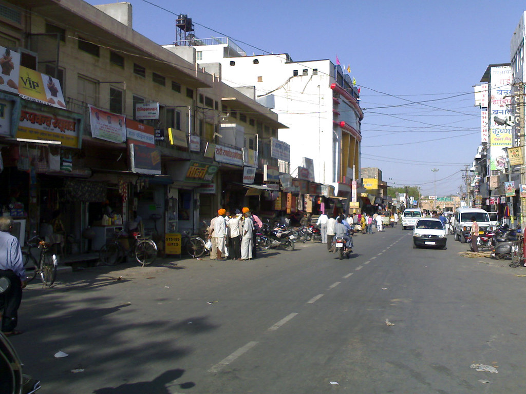
DSC00317

The Queen Harish show in Badmer tonight !!! Ready to rock !!

Camera Roll-470

Camera Roll-460

Indian Roller

Travellers. Central bus stand . Barmer. Rajasthan

Mangala Processing Terminal, Barmer, Rajasthan
Station Road, Barmer
Topographic Map of Barmer, Rajasthan, India
Find elevation by address:

Places in Barmer, Rajasthan, India:
Places near Barmer, Rajasthan, India:
Tan Singh Chouhan
Vishnu Colony
Tan Singh Circle
Barmer
Dhok
Ramsar
Chohtan Road
Toga
Bandhewa
Jogidas Ka Gaon
Fateh Garh
Jhinjhinyali Branch Post Office
Rajmathai
Sihdar
Satto
Recent Searches:
- Elevation map of Greenland, Greenland
- Elevation of Sullivan Hill, New York, New York, 10002, USA
- Elevation of Morehead Road, Withrow Downs, Charlotte, Mecklenburg County, North Carolina, 28262, USA
- Elevation of 2800, Morehead Road, Withrow Downs, Charlotte, Mecklenburg County, North Carolina, 28262, USA
- Elevation of Yangbi Yi Autonomous County, Yunnan, China
- Elevation of Pingpo, Yangbi Yi Autonomous County, Yunnan, China
- Elevation of Mount Malong, Pingpo, Yangbi Yi Autonomous County, Yunnan, China
- Elevation map of Yongping County, Yunnan, China
- Elevation of North 8th Street, Palatka, Putnam County, Florida, 32177, USA
- Elevation of 107, Big Apple Road, East Palatka, Putnam County, Florida, 32131, USA
- Elevation of Jiezi, Chongzhou City, Sichuan, China
- Elevation of Chongzhou City, Sichuan, China
- Elevation of Huaiyuan, Chongzhou City, Sichuan, China
- Elevation of Qingxia, Chengdu, Sichuan, China
- Elevation of Corso Fratelli Cairoli, 35, Macerata MC, Italy
- Elevation of Tallevast Rd, Sarasota, FL, USA
- Elevation of 4th St E, Sonoma, CA, USA
- Elevation of Black Hollow Rd, Pennsdale, PA, USA
- Elevation of Oakland Ave, Williamsport, PA, USA
- Elevation of Pedrógão Grande, Portugal