Elevation map of Barkly East, South Africa
Location: South Africa > Eastern Cape > Drakensberg District >
Longitude: 27.6434844
Latitude: -30.919858
Elevation: 2102m / 6896feet
Barometric Pressure: 78KPa
Elevation Map:
Satellite Map:
Related Photos:

The view is better when you're at the top!!!
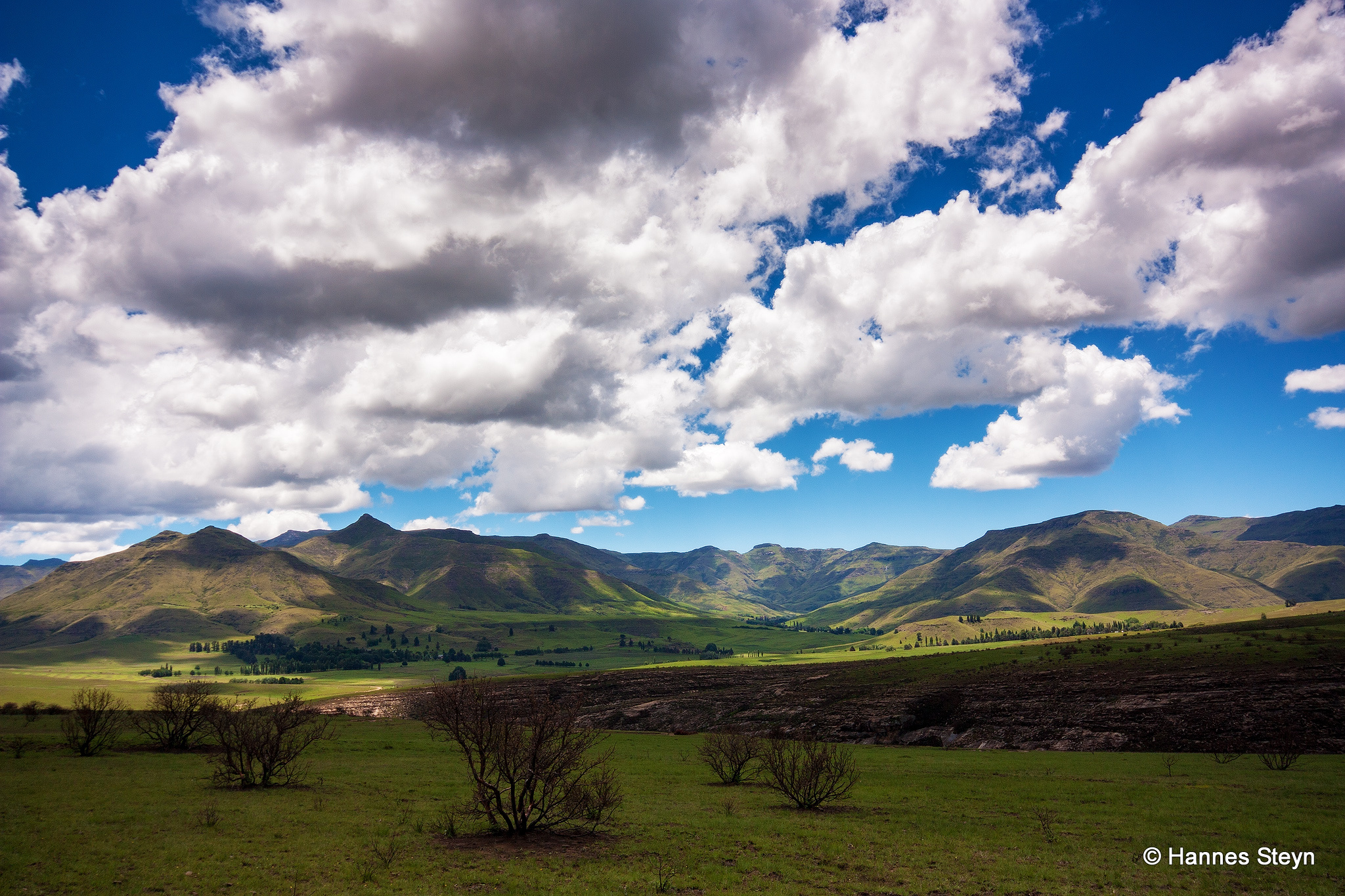
Eastern Cape Landscapes
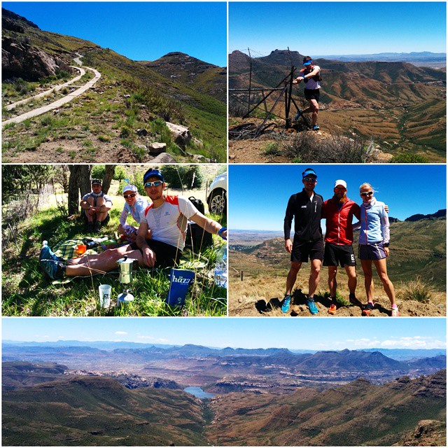
Day two of @salomon Skyrun course scouting. Just a beautiful day to be in the mountains. #Salomon #Skyrun #Suunto #SouthAfrica #trailrunning
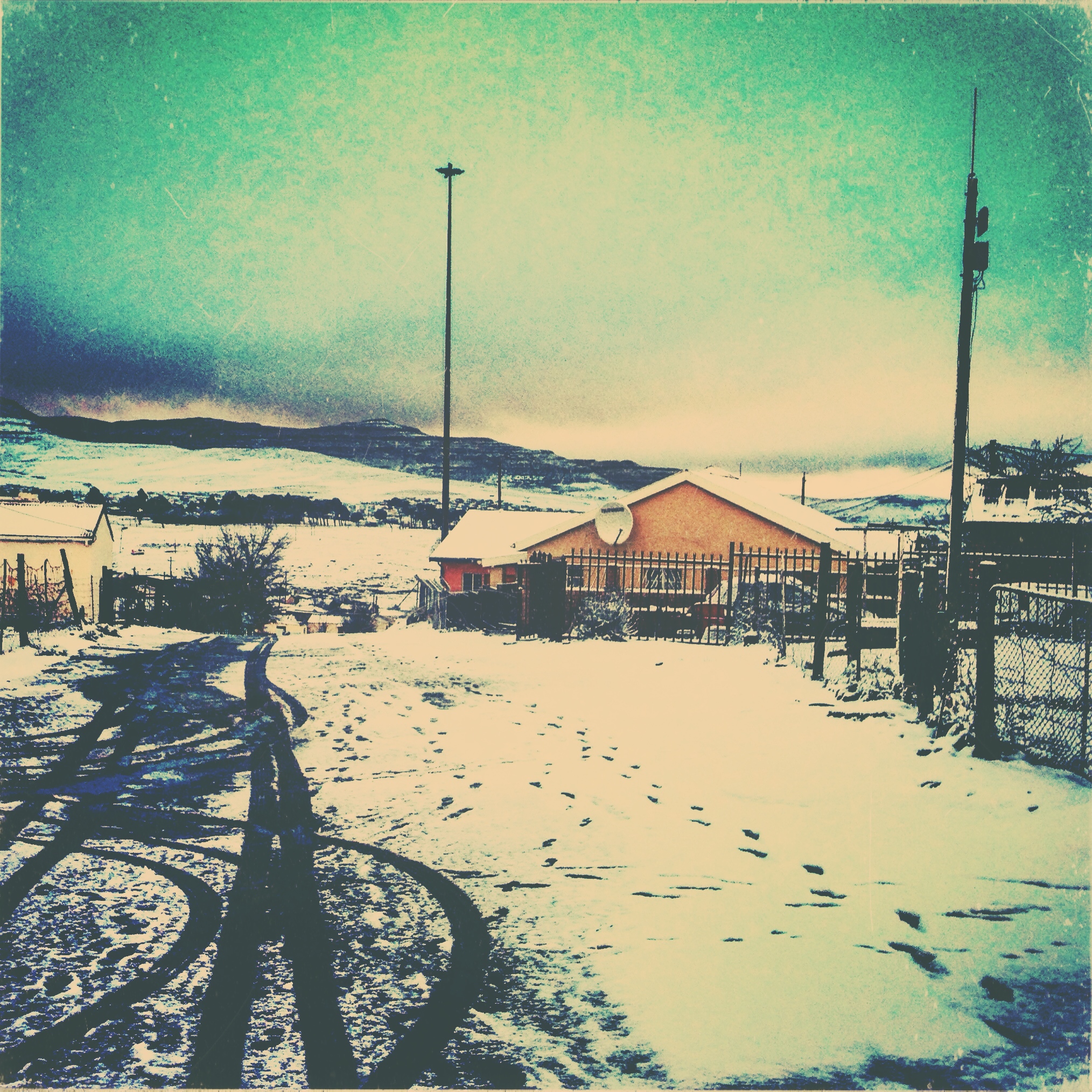
The definition of beautiful weather is not about how it feels, but how it looks!!! #snow #winter #white #barklyeast

The art of nature #beautiful
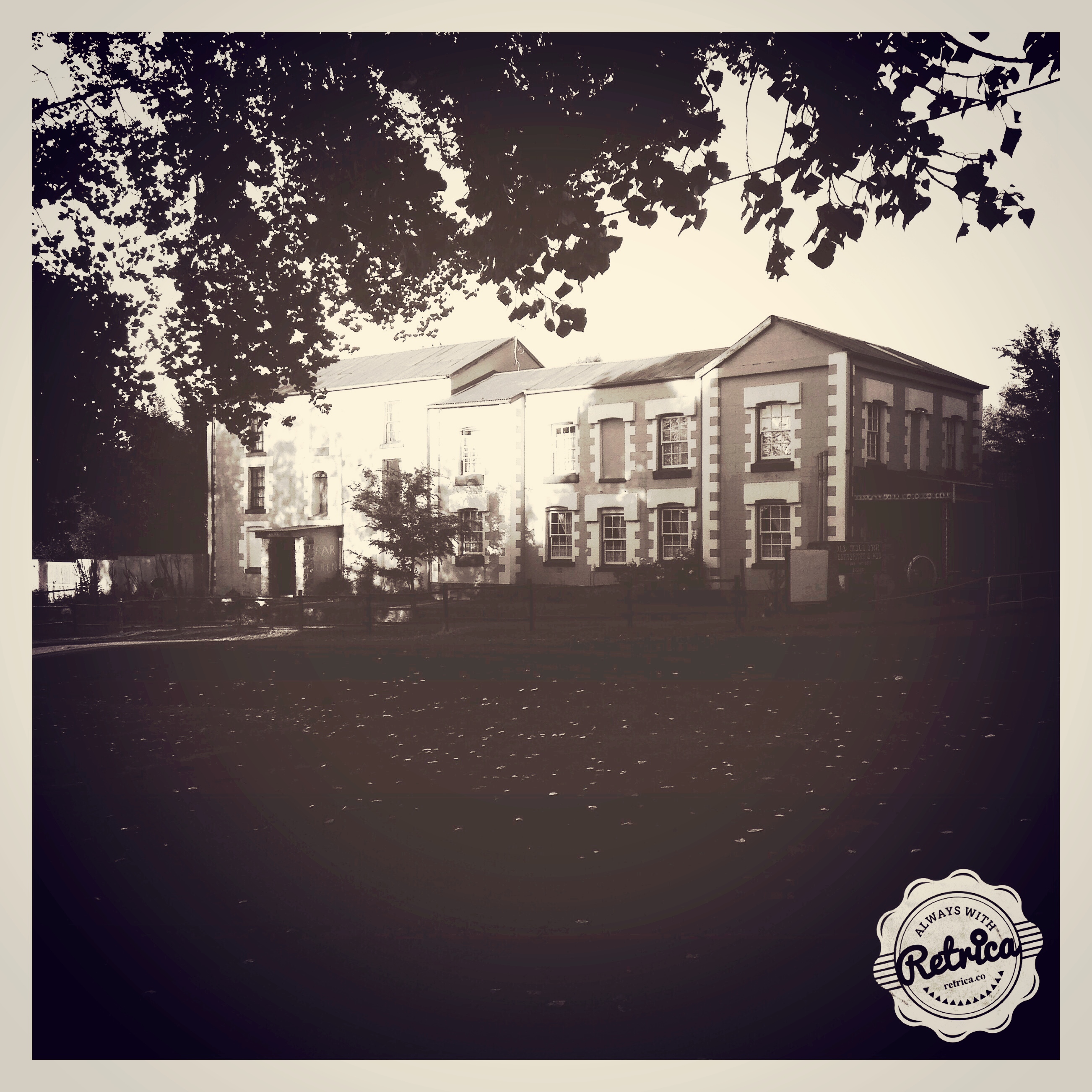
Old Mill Inn! Barkly a East.

#nothrow #filter #awesomeness #klaasix #BarklyEast

Roses in the morning look so good!!!
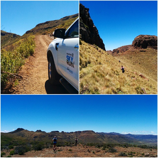
Day two pic two of @salomon Skyrun course scouting. Just a beautiful day to be in the mountains. #Salomon #Skyrun #Suunto #SouthAfrica #trailrunning

DjKlaasix! #ignite2104 #CLC #youth #ministry #awesomeness

Snow...
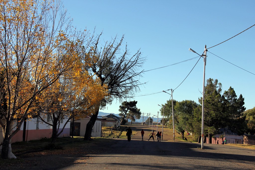
Après-midi d'automne
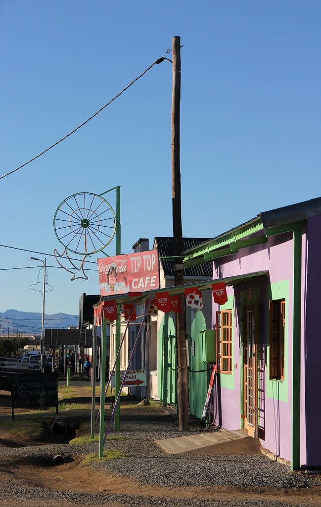
Tip Top Café
Topographic Map of Barkly East, South Africa
Find elevation by address:

Places in Barkly East, South Africa:
Places near Barkly East, South Africa:
Wartrail Country Club
Rhodes
Tiffindell Ski Resort
Gqiba Media Productions (gmp)
Sterkspruit
Sterkspruit
Quthing
Quthing
Aliwal North
Semonkong
Maluti Stay Lodge
Wepener
Recent Searches:
- Elevation of Corso Fratelli Cairoli, 35, Macerata MC, Italy
- Elevation of Tallevast Rd, Sarasota, FL, USA
- Elevation of 4th St E, Sonoma, CA, USA
- Elevation of Black Hollow Rd, Pennsdale, PA, USA
- Elevation of Oakland Ave, Williamsport, PA, USA
- Elevation of Pedrógão Grande, Portugal
- Elevation of Klee Dr, Martinsburg, WV, USA
- Elevation of Via Roma, Pieranica CR, Italy
- Elevation of Tavkvetili Mountain, Georgia
- Elevation of Hartfords Bluff Cir, Mt Pleasant, SC, USA