Elevation of Barkhamsted, CT, USA
Location: United States > Connecticut > Litchfield County >
Longitude: -72.913990
Latitude: 41.9292629
Elevation: 332m / 1089feet
Barometric Pressure: 97KPa
Elevation Map:
Satellite Map:
Related Photos:
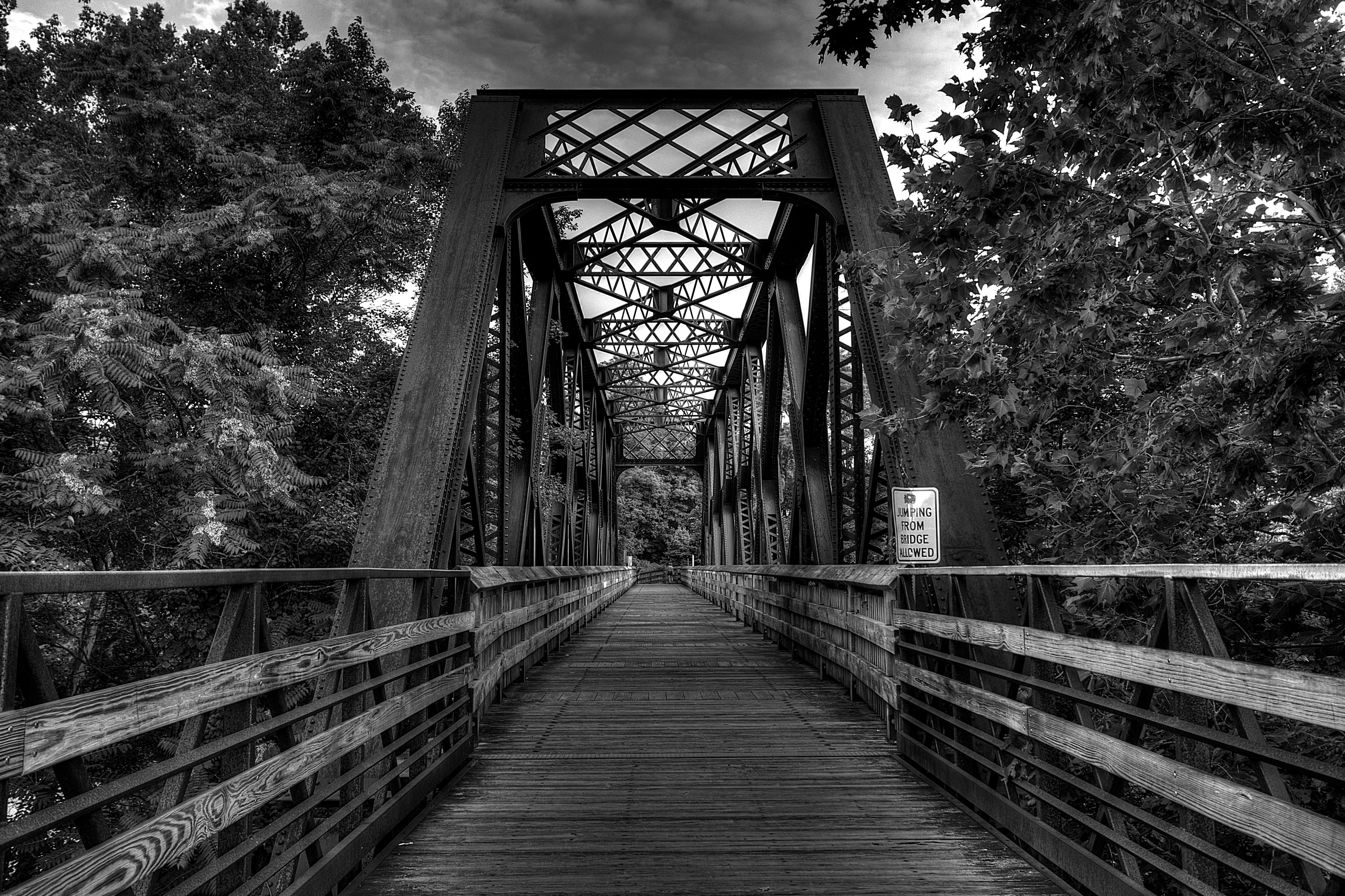
To the other side

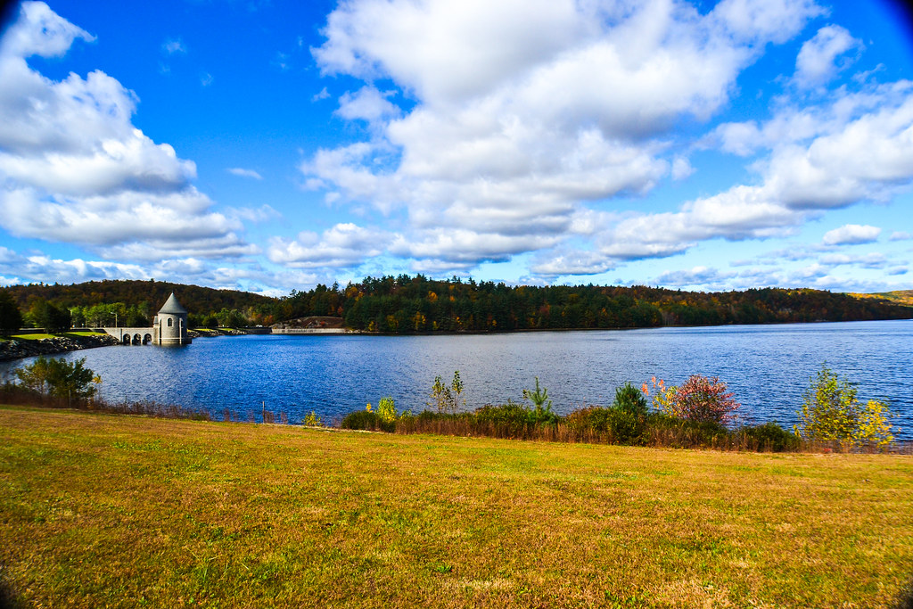
Saville Dam 2/Barkhamsted Reservoir - Barkhamsted, Connecticut - 1,000 Views and thanks to everyone!!! Special thanks in a comment on page 8.
OctoberStorm2011.jpg
Enders Giant
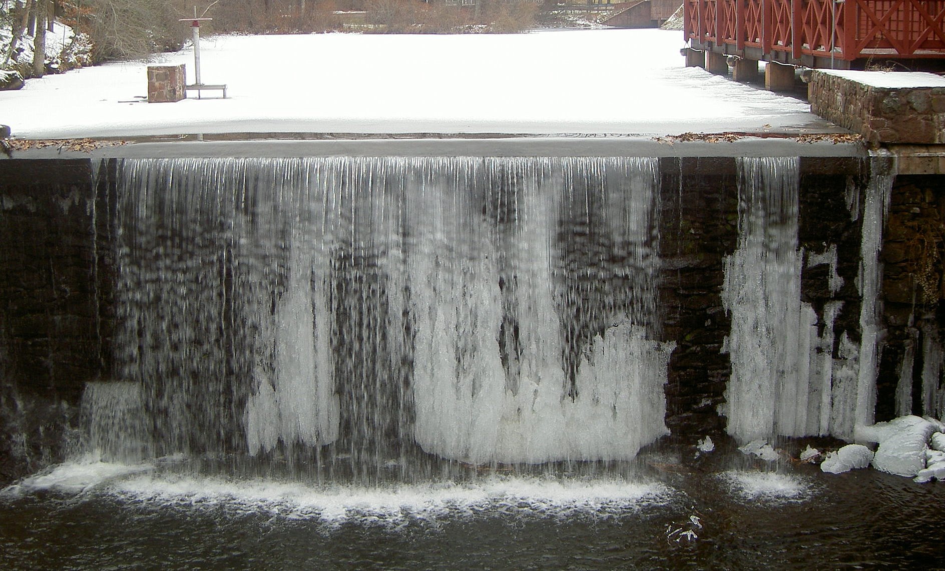
water freezes in the most beautiful of places

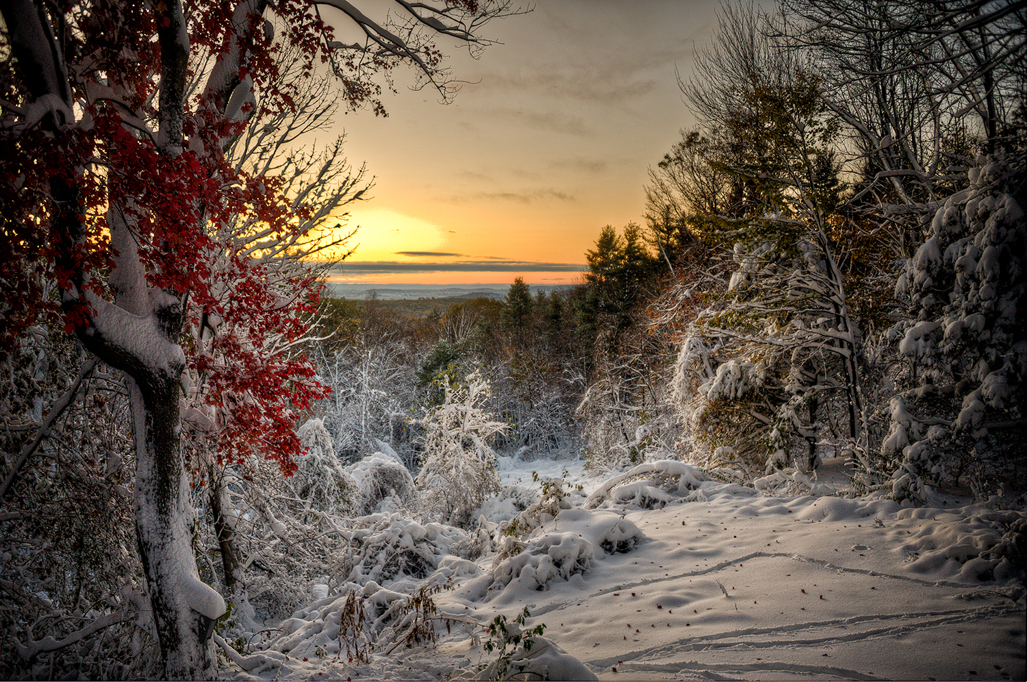
Autumn in Connecticut
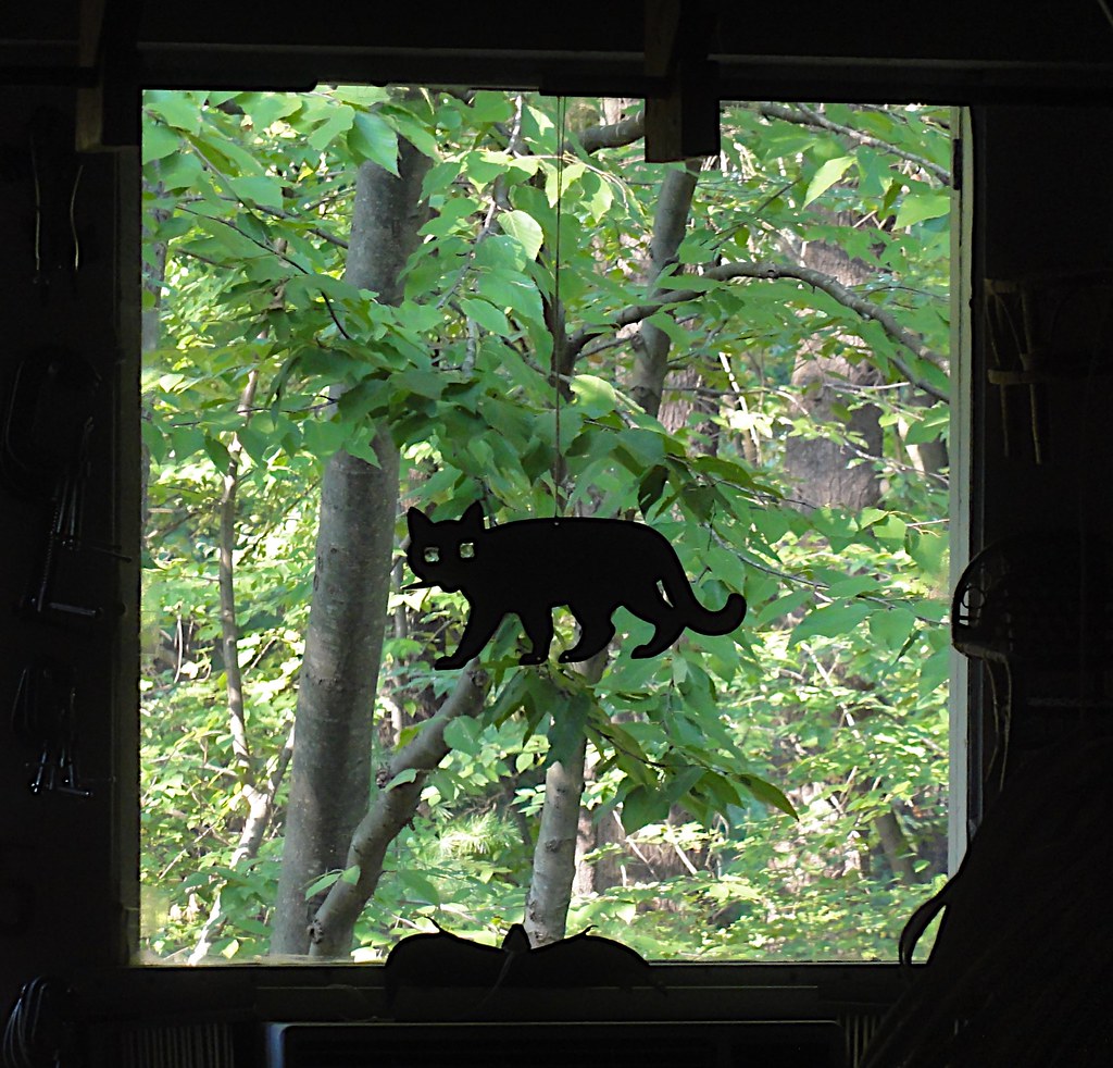
Cat Window
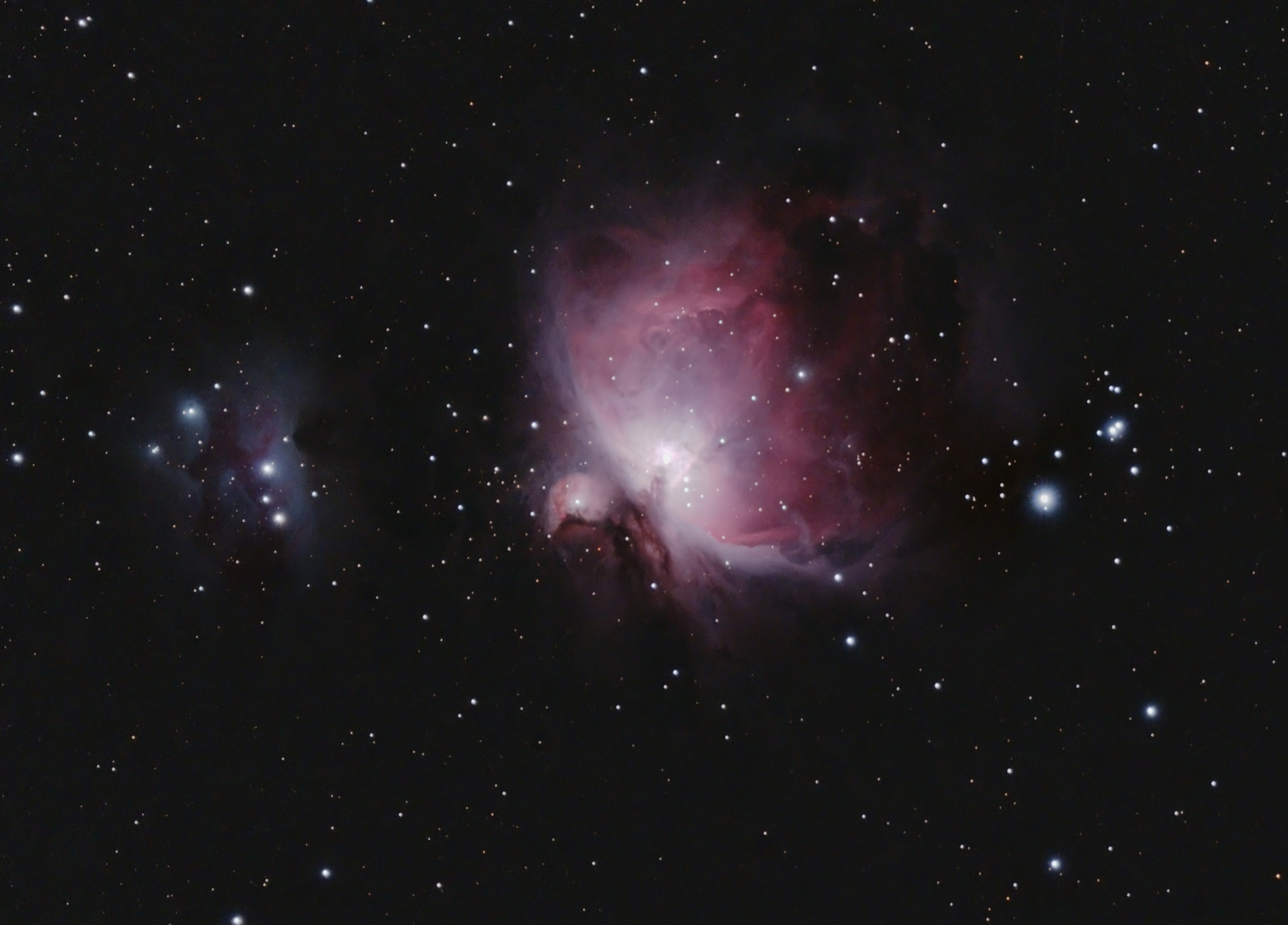
Orion and the Running Man

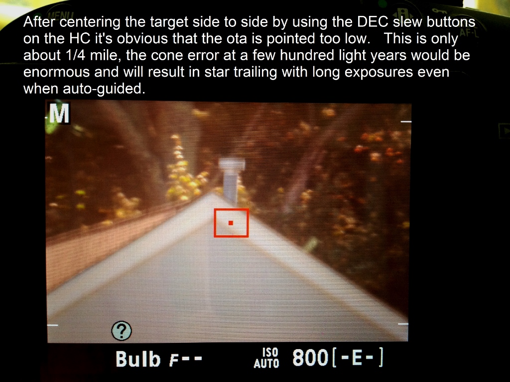
iOptron 42" Pier

Corner Crop072214

Horse Of A Different Color
V5 Lat Lock ZEQ25
V5 Prototype

View on the whole Massachusetts

View from today's bike ride

View from across the river
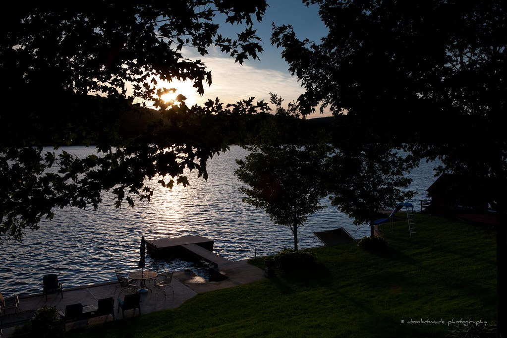
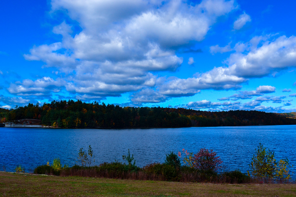
View from the Lake House

Imaging Site

So long my luckless romance
2IMG_2 (1024x768)
V5 Tefplate side view

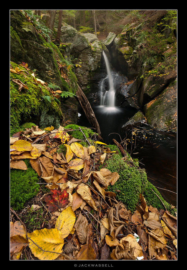
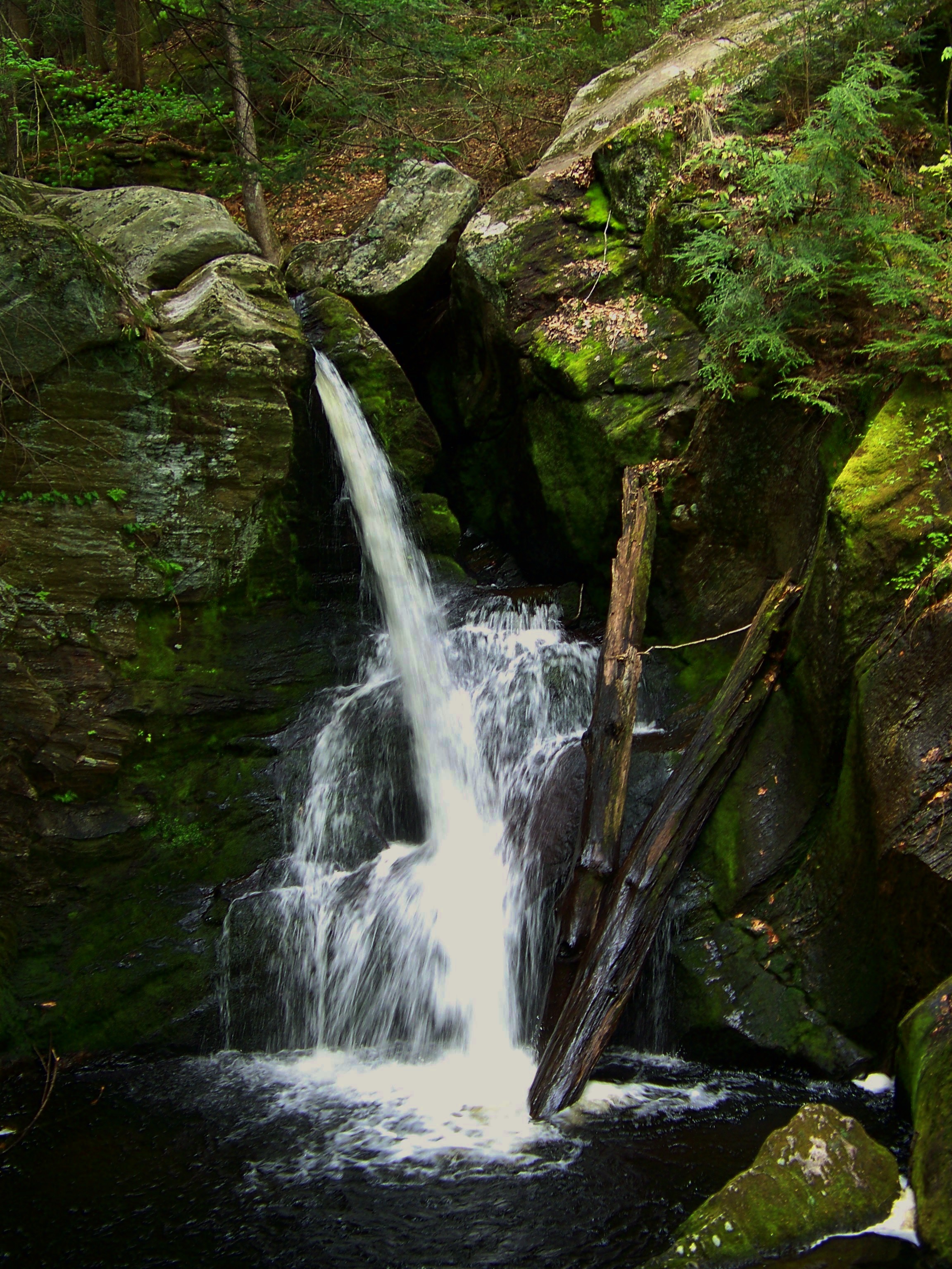
Enders falls
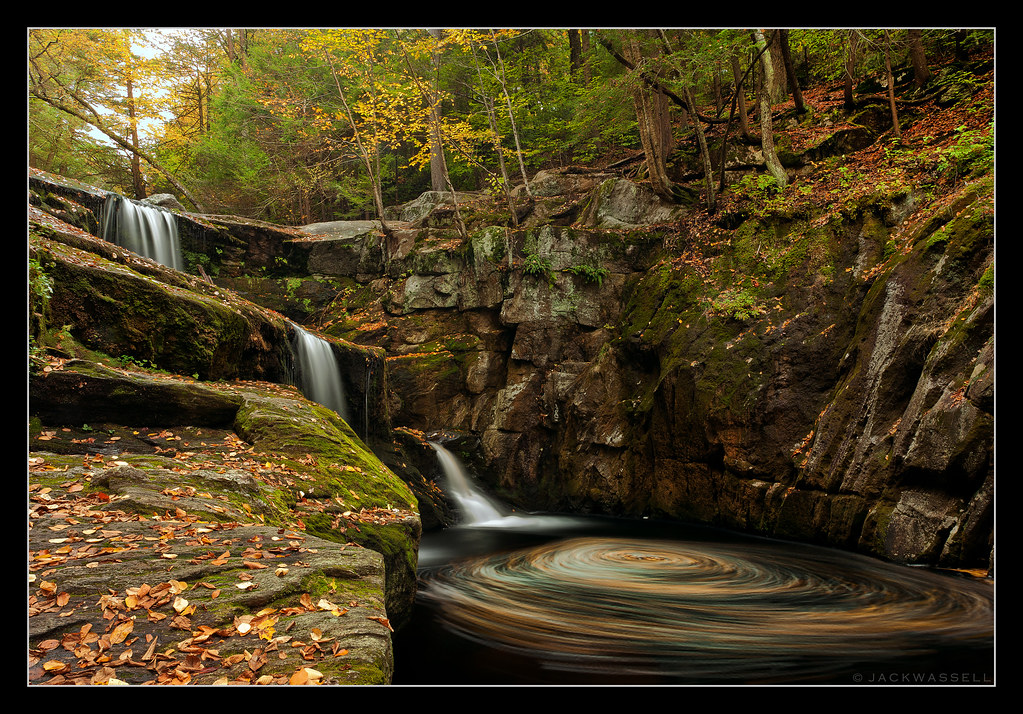
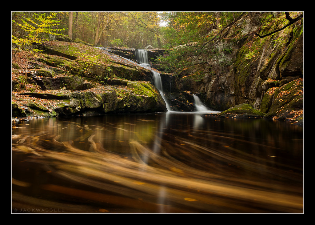
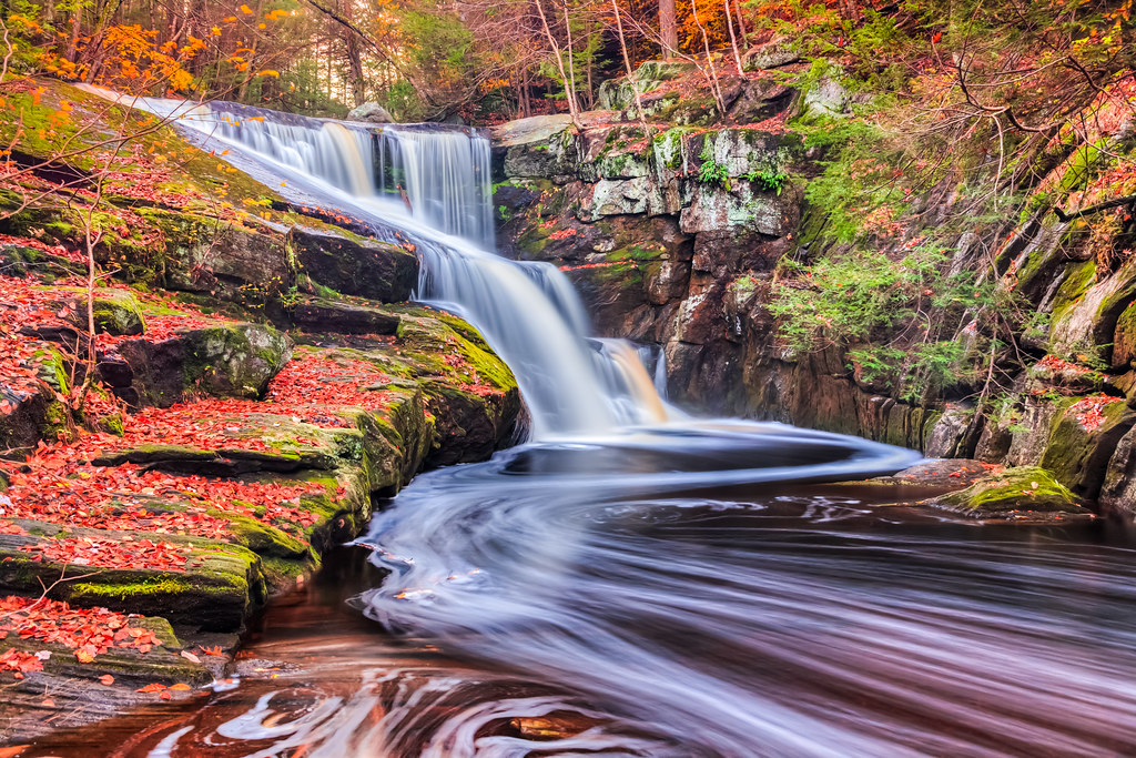
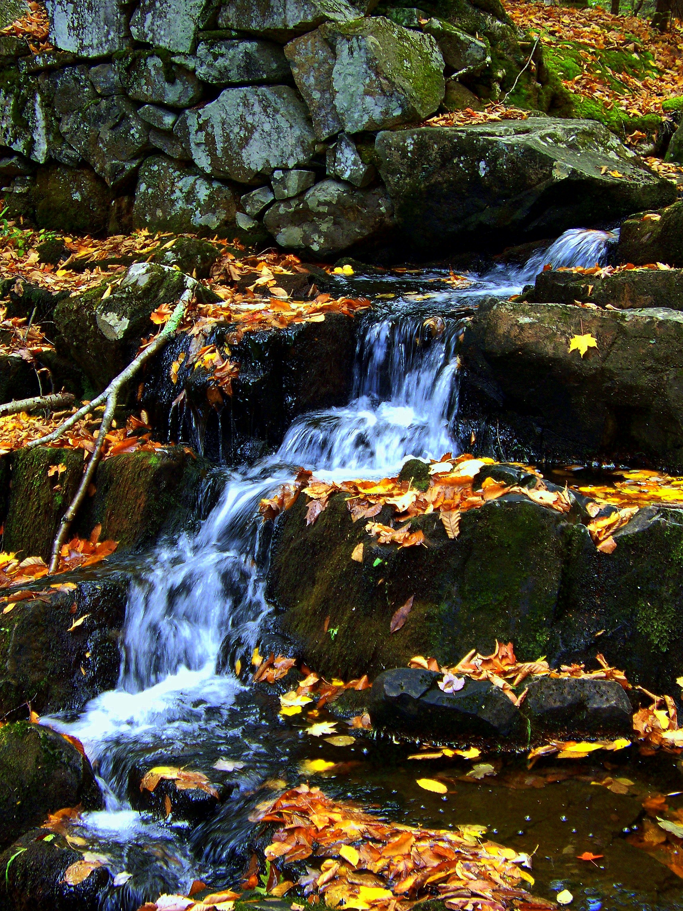
Autumn Swirls
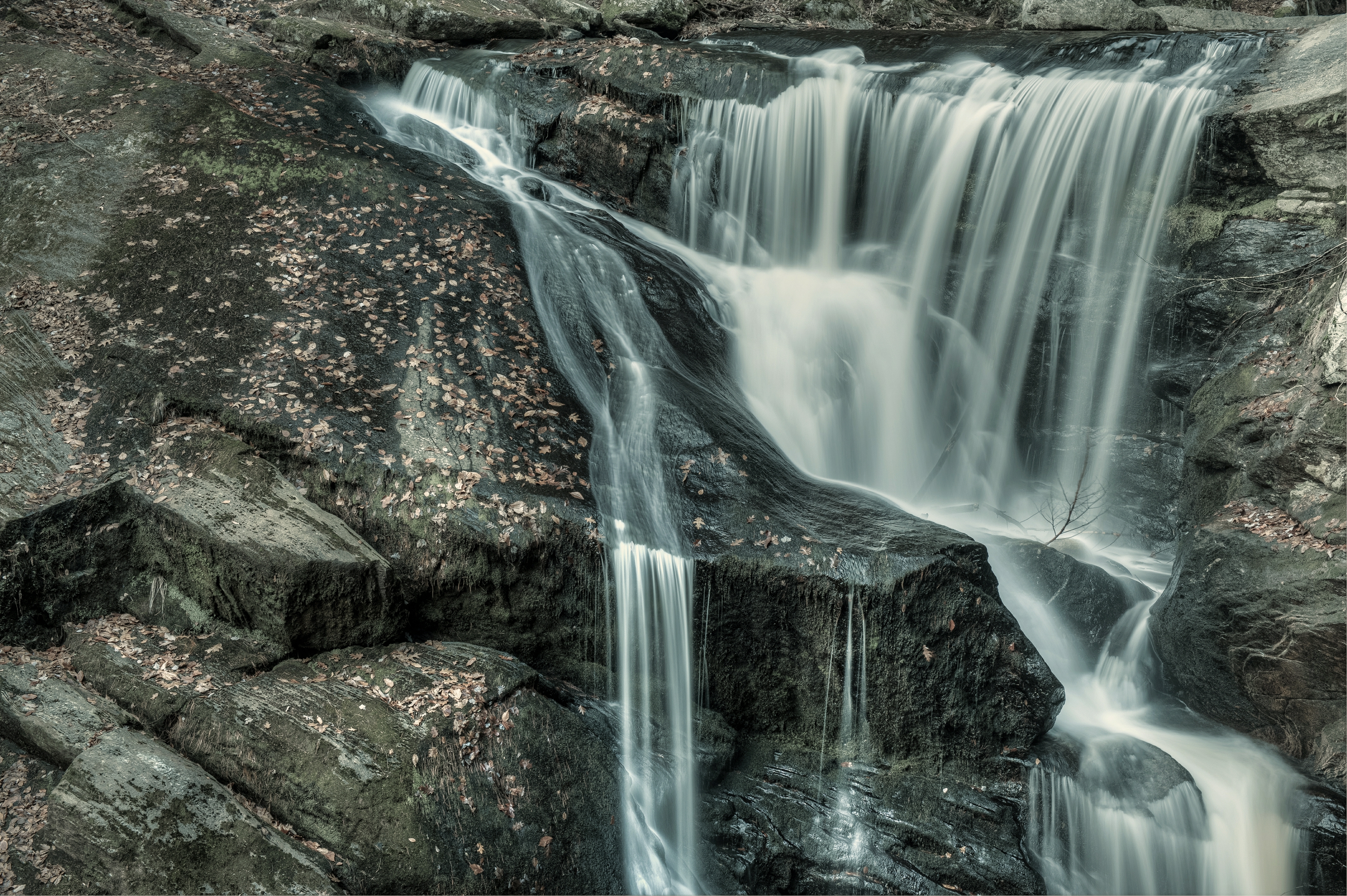
Enders Falls
I Keep on Fallin'
Enders Falls
Autumn Race

Can't Change the Weather
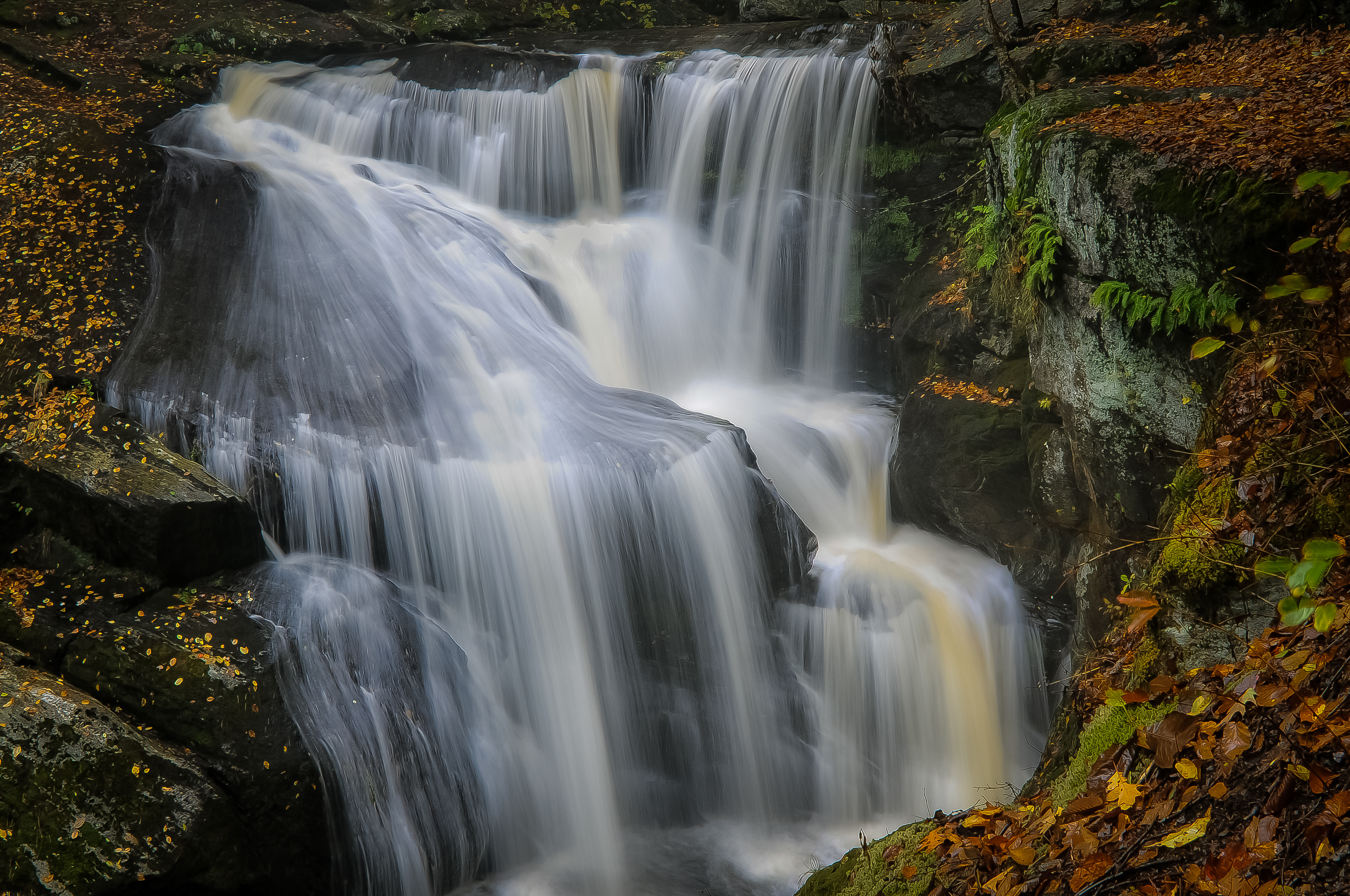
Enders Falls
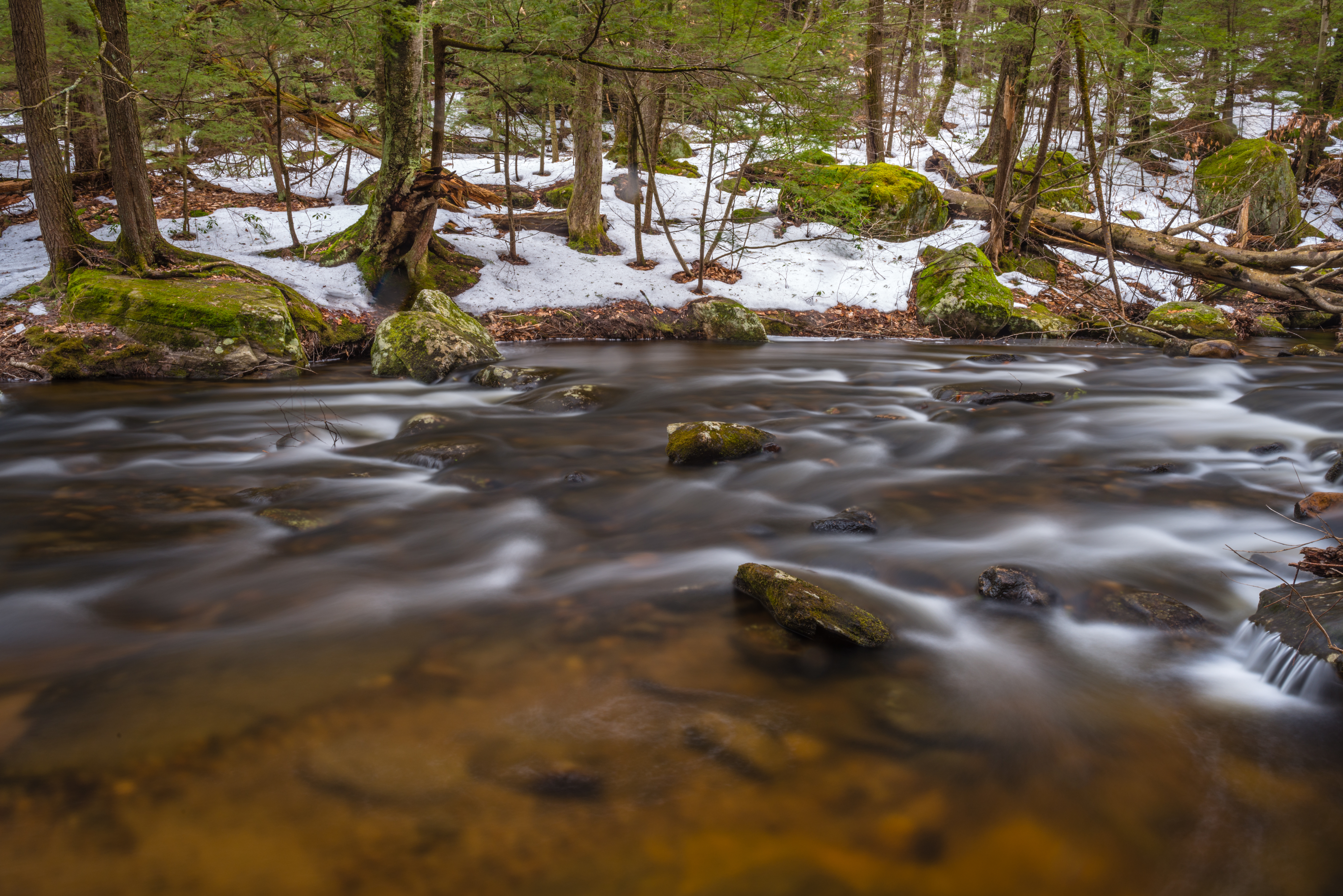
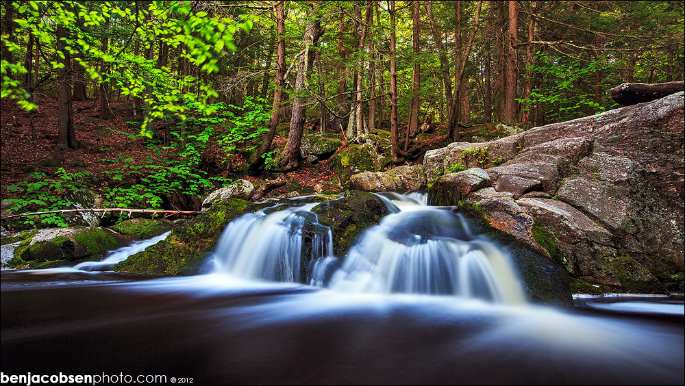
Enders stream

Enders little falls

Enders SP - Granby, CT
DSC_0012.jpg

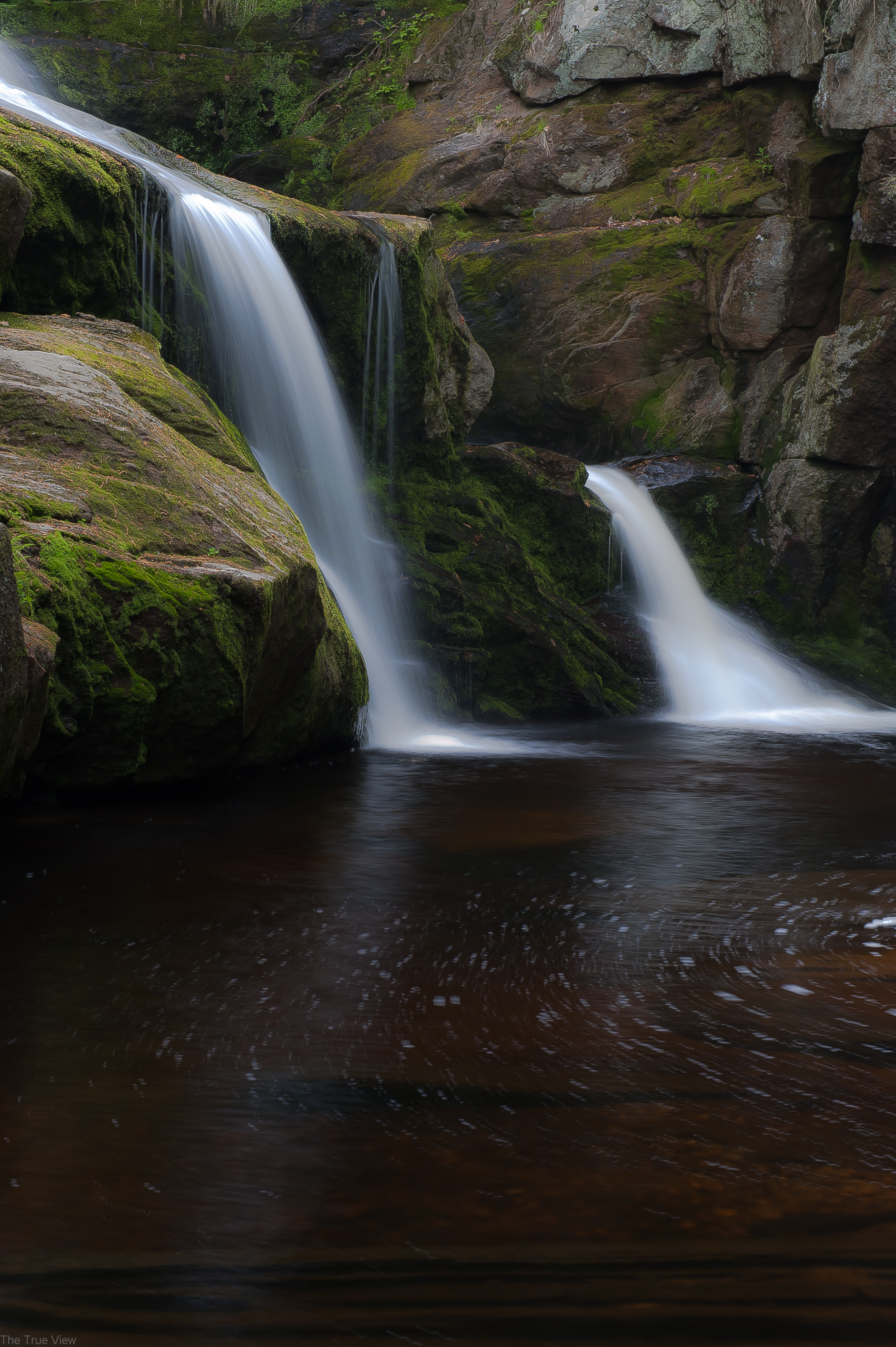
Enders main falls
Enders 3
DSC_0004.jpg

Fundraiser and Ben and Jerry's - Part 2 - June 10 2010 - 201

Fundraiser and Ben and Jerry's - Part 2 - June 10 2010 - 202
trip the autumn fantastic
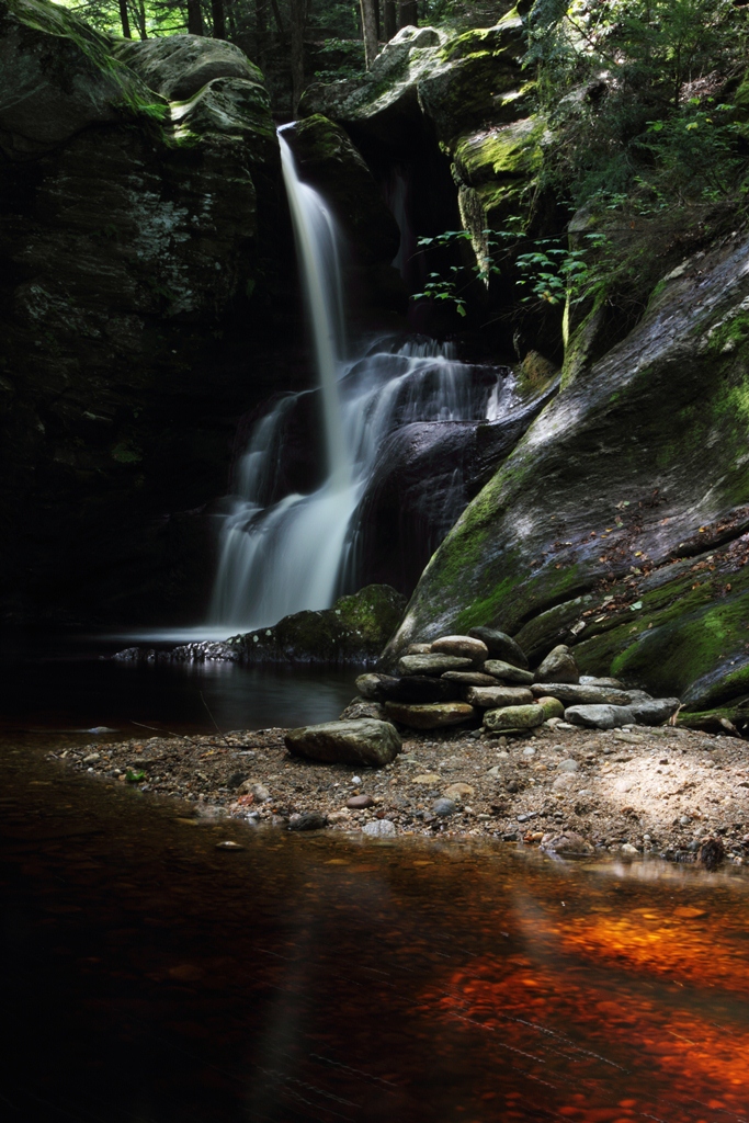
Enders upper falls
Enders Falls
Topographic Map of Barkhamsted, CT, USA
Find elevation by address:

Places in Barkhamsted, CT, USA:
Riverton
67 Ripley Hill Rd, Barkhamsted, CT, USA
Hillcrest Drive
Barkhamsted Reservoir
Lavander Road
Places near Barkhamsted, CT, USA:
Hillcrest Drive
60 Hillcrest Dr
60 Hillcrest Dr
60 Hillcrest Dr
18 Chiswick Ln
Lavander Road
282 Barkhamsted Rd
22 Diane Dr
2 Mountain Laurel Ct
Cherry Brook Rd, Canton, CT, USA
North Canton
Barkhamsted Reservoir
497 Cherry Brook Rd
31 Andrew Dr
87 Barkhamsted Rd
West Granby, CT, USA
Ski Sundown
72 Barkhamsted Rd
282 Hartland Rd
55 Barkhamsted Rd
Recent Searches:
- Elevation of Corso Fratelli Cairoli, 35, Macerata MC, Italy
- Elevation of Tallevast Rd, Sarasota, FL, USA
- Elevation of 4th St E, Sonoma, CA, USA
- Elevation of Black Hollow Rd, Pennsdale, PA, USA
- Elevation of Oakland Ave, Williamsport, PA, USA
- Elevation of Pedrógão Grande, Portugal
- Elevation of Klee Dr, Martinsburg, WV, USA
- Elevation of Via Roma, Pieranica CR, Italy
- Elevation of Tavkvetili Mountain, Georgia
- Elevation of Hartfords Bluff Cir, Mt Pleasant, SC, USA