Elevation map of Barabanki, Uttar Pradesh, India
Location: India > Uttar Pradesh >
Longitude: 81.2518833
Latitude: 26.995506
Elevation: 123m / 404feet
Barometric Pressure: 100KPa
Elevation Map:
Satellite Map:
Related Photos:
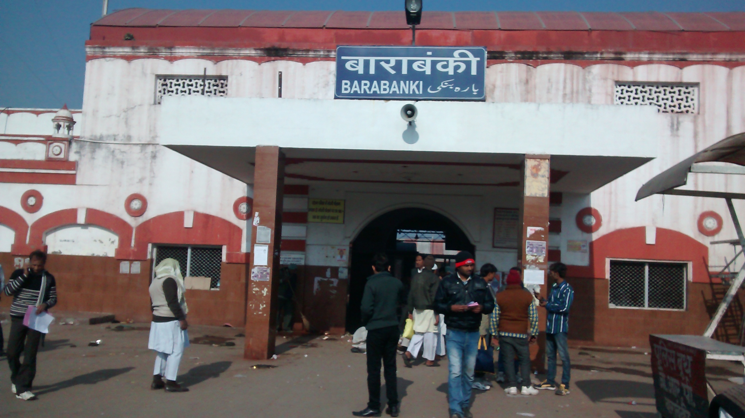
TARACHANDRA IN BARABANKI
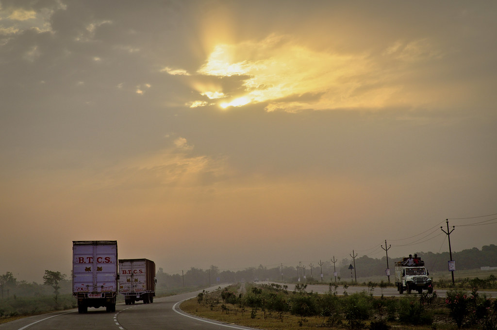
Sunrise on a Cloudy Morning.

Barabanki, U.P.
Topographic Map of Barabanki, Uttar Pradesh, India
Find elevation by address:

Places in Barabanki, Uttar Pradesh, India:
Places near Barabanki, Uttar Pradesh, India:
Barabanki
Jpnic Multistorey Parking
Vipin Khand
Jai Prakash Narayan International Center
Narhi
Sadullah Nagar
Ashok Marg
Hasanganj
Uttar Pradesh
Lucknow
Khayali Ganj
177/21
Utar Pradesh Transport Company
Rajendra Nagar
Khala Bazar
Lucknow
Sitapur
Aoras
Bahraich
Sitapur
Recent Searches:
- Elevation of Corso Fratelli Cairoli, 35, Macerata MC, Italy
- Elevation of Tallevast Rd, Sarasota, FL, USA
- Elevation of 4th St E, Sonoma, CA, USA
- Elevation of Black Hollow Rd, Pennsdale, PA, USA
- Elevation of Oakland Ave, Williamsport, PA, USA
- Elevation of Pedrógão Grande, Portugal
- Elevation of Klee Dr, Martinsburg, WV, USA
- Elevation of Via Roma, Pieranica CR, Italy
- Elevation of Tavkvetili Mountain, Georgia
- Elevation of Hartfords Bluff Cir, Mt Pleasant, SC, USA