Elevation of Bantanahal, Andhra Pradesh, India
Location: India > Andhra Pradesh > Anantapuram >
Longitude: 77.303723
Latitude: 15.1907794
Elevation: 437m / 1434feet
Barometric Pressure: 96KPa
Elevation Map:
Satellite Map:
Related Photos:

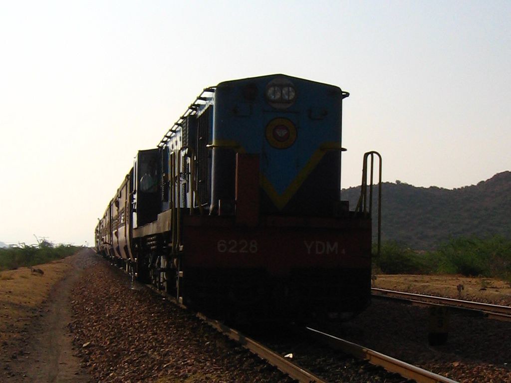
Me in the train.

Late night boring journey...!! Excited to go home.. #bored #excited #mixedfeelings #cantwait #train #journey #nighttime
The Small monster
Topographic Map of Bantanahal, Andhra Pradesh, India
Find elevation by address:

Places near Bantanahal, Andhra Pradesh, India:
Kundhanagurthy
Mallikarjuna Palli
Bevinahal Village, Andhrapradesh, Kurnool
Kokkarachedu
Kaminahal Lake
Chakibanda
Medehalu
Cricket Ground Hardageri
Halaharvi - Gulyam Road
Havaligi
Rupanagudi Road
Nitravatti
Virupapuram
Gulyam
Virupapuram
Temple (neraniki Thanda)
Neraniki
Suluvoy
Kogilatota
Honnur
Recent Searches:
- Elevation of Corso Fratelli Cairoli, 35, Macerata MC, Italy
- Elevation of Tallevast Rd, Sarasota, FL, USA
- Elevation of 4th St E, Sonoma, CA, USA
- Elevation of Black Hollow Rd, Pennsdale, PA, USA
- Elevation of Oakland Ave, Williamsport, PA, USA
- Elevation of Pedrógão Grande, Portugal
- Elevation of Klee Dr, Martinsburg, WV, USA
- Elevation of Via Roma, Pieranica CR, Italy
- Elevation of Tavkvetili Mountain, Georgia
- Elevation of Hartfords Bluff Cir, Mt Pleasant, SC, USA