Elevation map of Bangalore Rural, Karnataka, India
Location: India > Karnataka >
Longitude: 77.6077865
Latitude: 13.2846993
Elevation: 912m / 2992feet
Barometric Pressure: 91KPa
Elevation Map:
Satellite Map:
Related Photos:

Aerial view of #Bangalore #travel #ttot #flight #aerial view
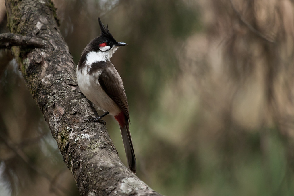
Red-whiskered Bulbul
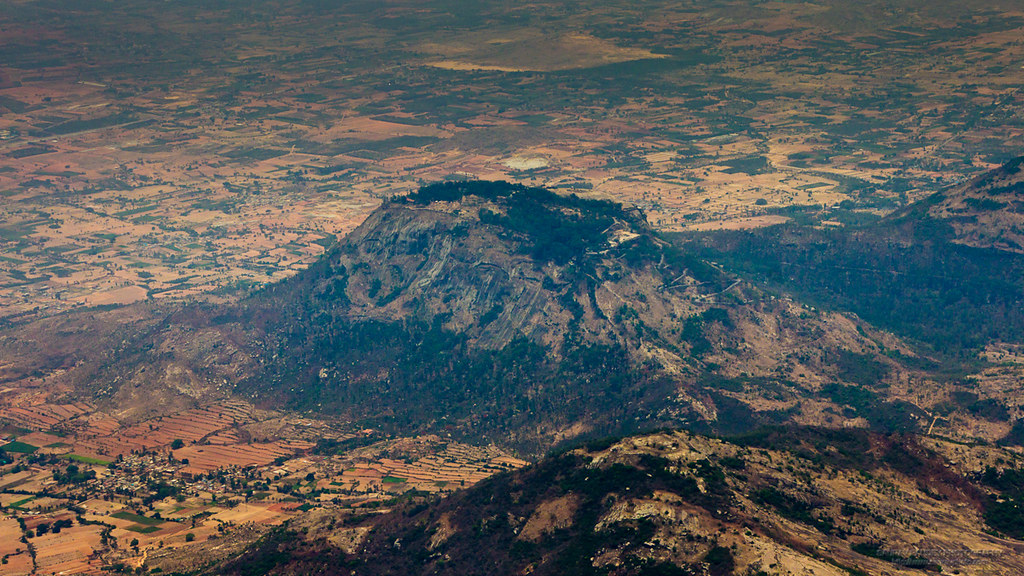
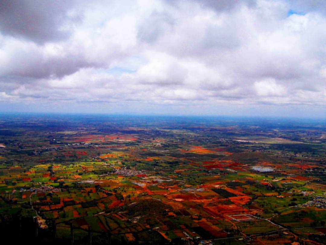
Nandi Hills - aerial view
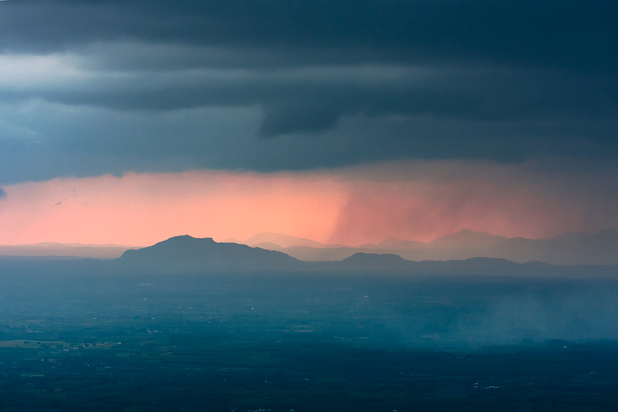
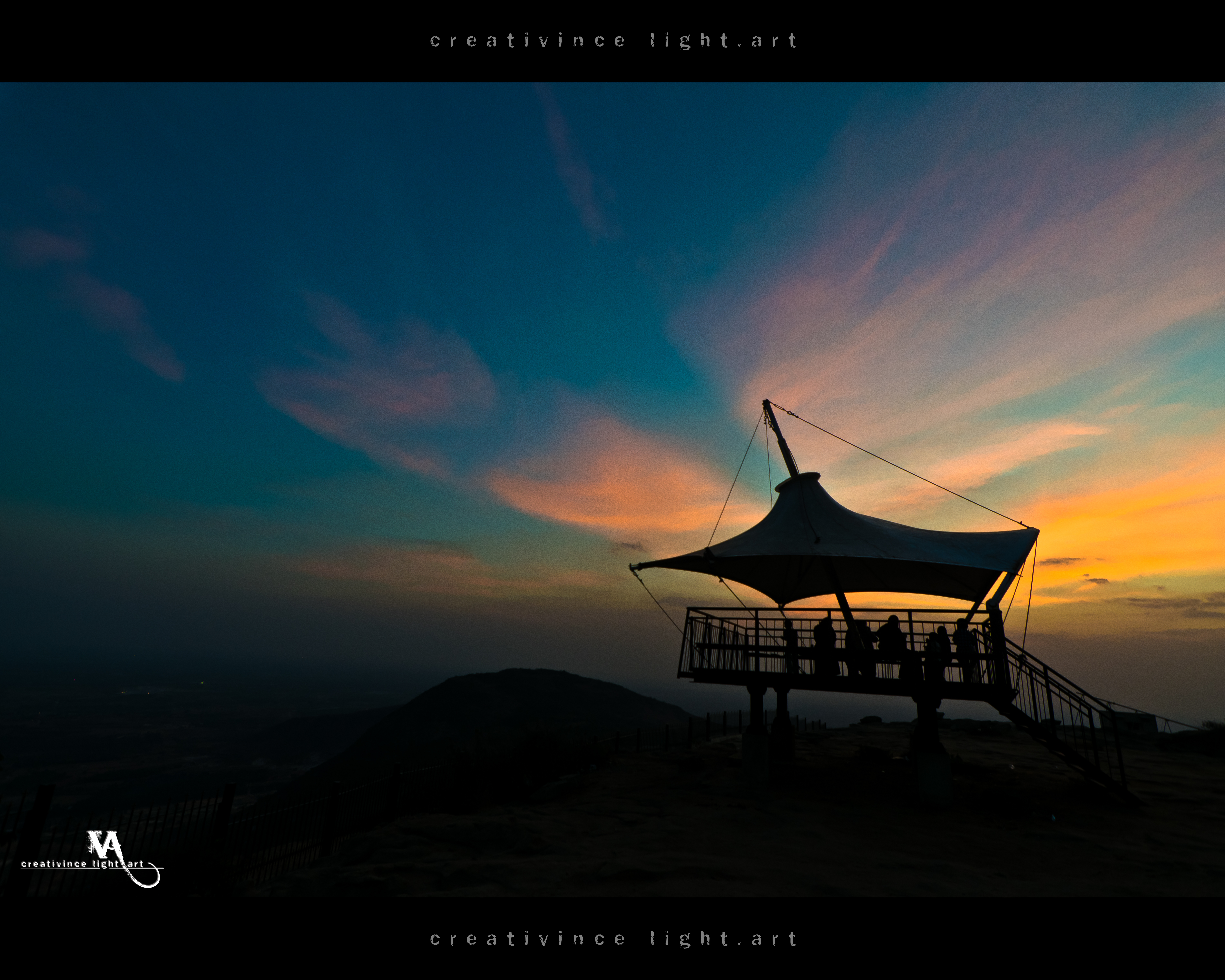
Sunset covered by Strom, Nandi Hills

CSP_0604.jpg

CSP_0619.jpg
Up-Close and Personal
Room with a view.

CSP_0905.jpg

Nail Biting | Nandi Hills

CSP_0640.jpg

CSP_0920.jpg

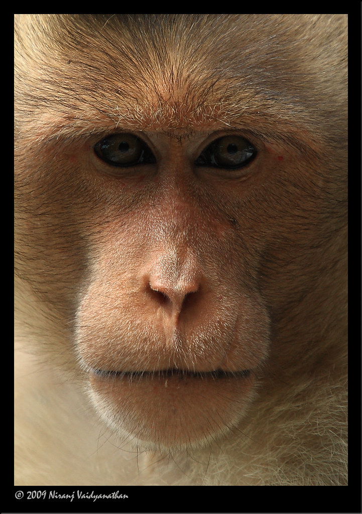
Monkey business...

CSP_0623.jpg

CSP_0926.jpg

CSP_0918.jpg

CSP_0758.jpg

CSP_0622.jpg

CSP_0768.jpg

CSP_0602.jpg

CSP_0916.jpg
The Last Samurai
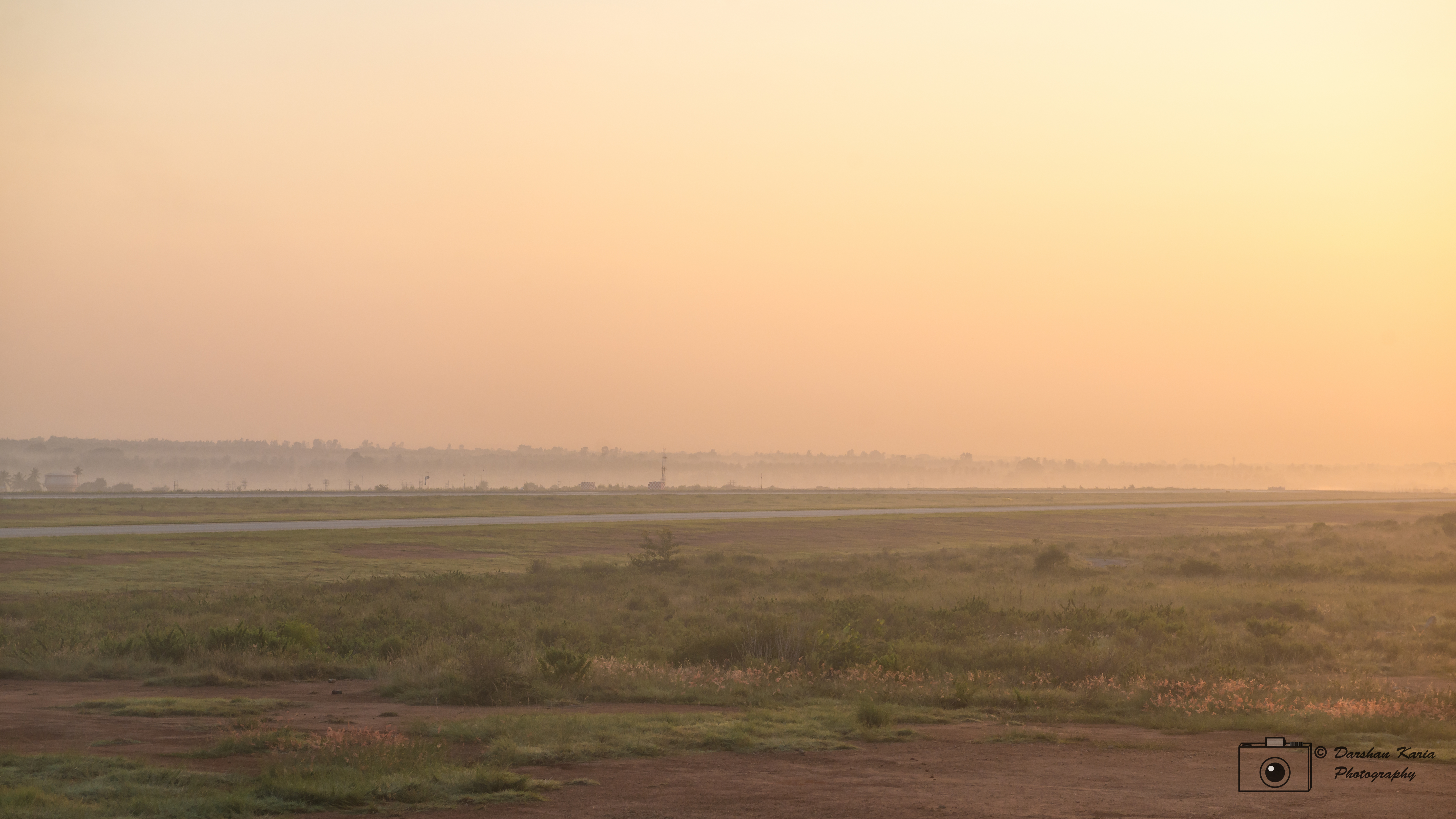
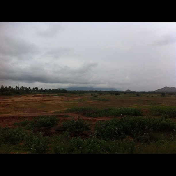
Morning haze at Bangalore Airport

CSP_0927.jpg
#nandi #hills #bangalore #karnataka #nature #naturelover #hiking #wanderer #wanderlust #travel #mountain #mountaiview #landscape #greenary #view #blue #sky #dark #clouds #horizon #photography #forest #earth #trip #photooftheday #instadaily #instaphoto #

CSP_0928.jpg

A View from Nandi Hills, Bangalore

CSP_0907.jpg

CSP_0906.jpg

The Lone Tree at Nandi Hills

BIAAPA LAYOUTS SITES NEAR DEVANAHALLI

Bangalore Airport
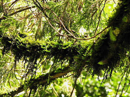
Moss Laden
Yesterday morning ride,Nandi hills covered completely by the clouds
Nandi hills

Cloud 9 Blue sky . . . . . . . . . . . . . . . #cloud #sky #skylovers #skyporn #cloudporn #cloudy #space #clouds #white #blue #hills #mountain #Karnataka #bengaluru #India #following #like4like #like #likeforlike #follow4follow #instalike

Devanhalli fort, birthplace of Tipu Sultan, Karnataka.
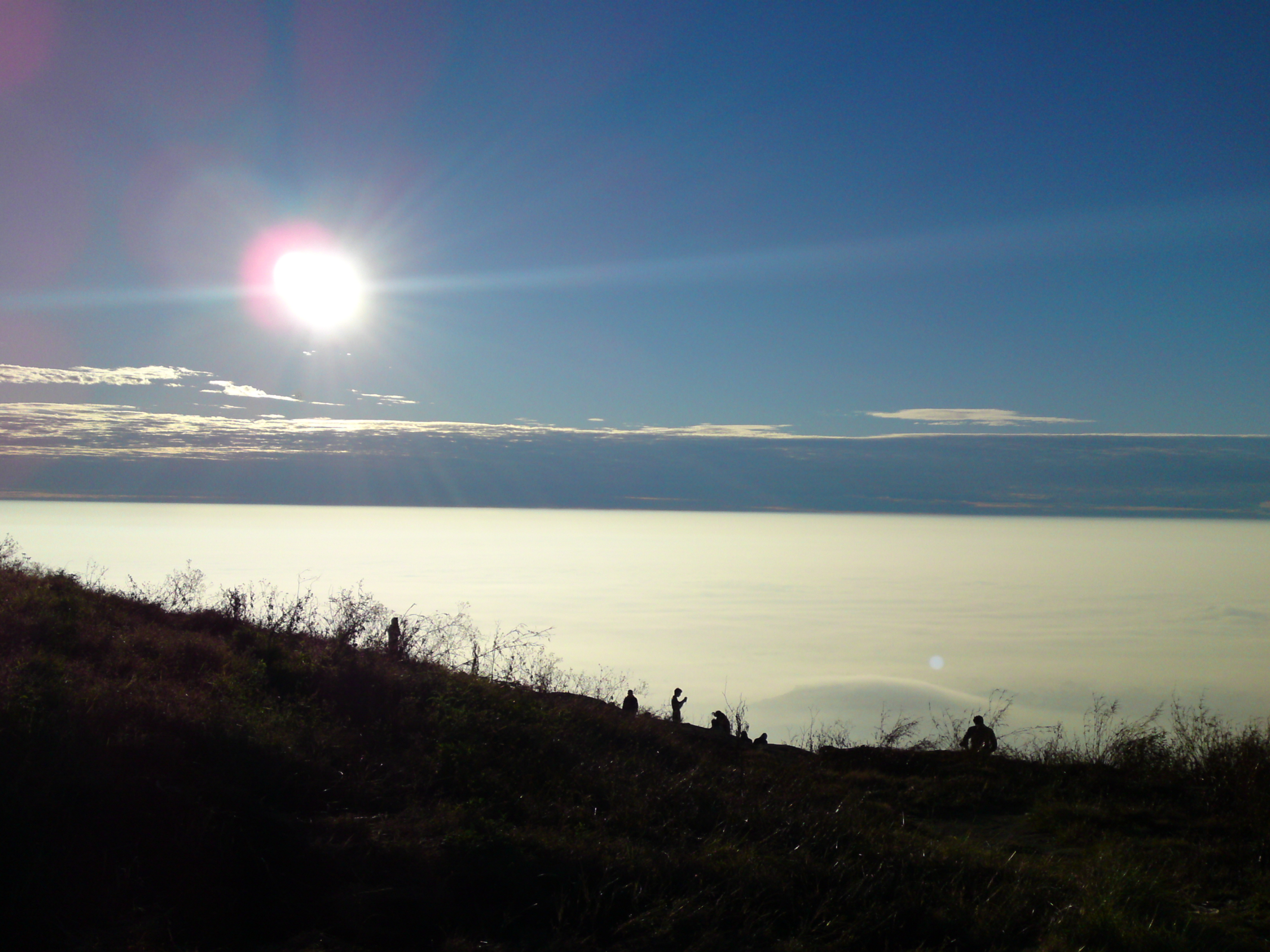
Beauty of the Sun
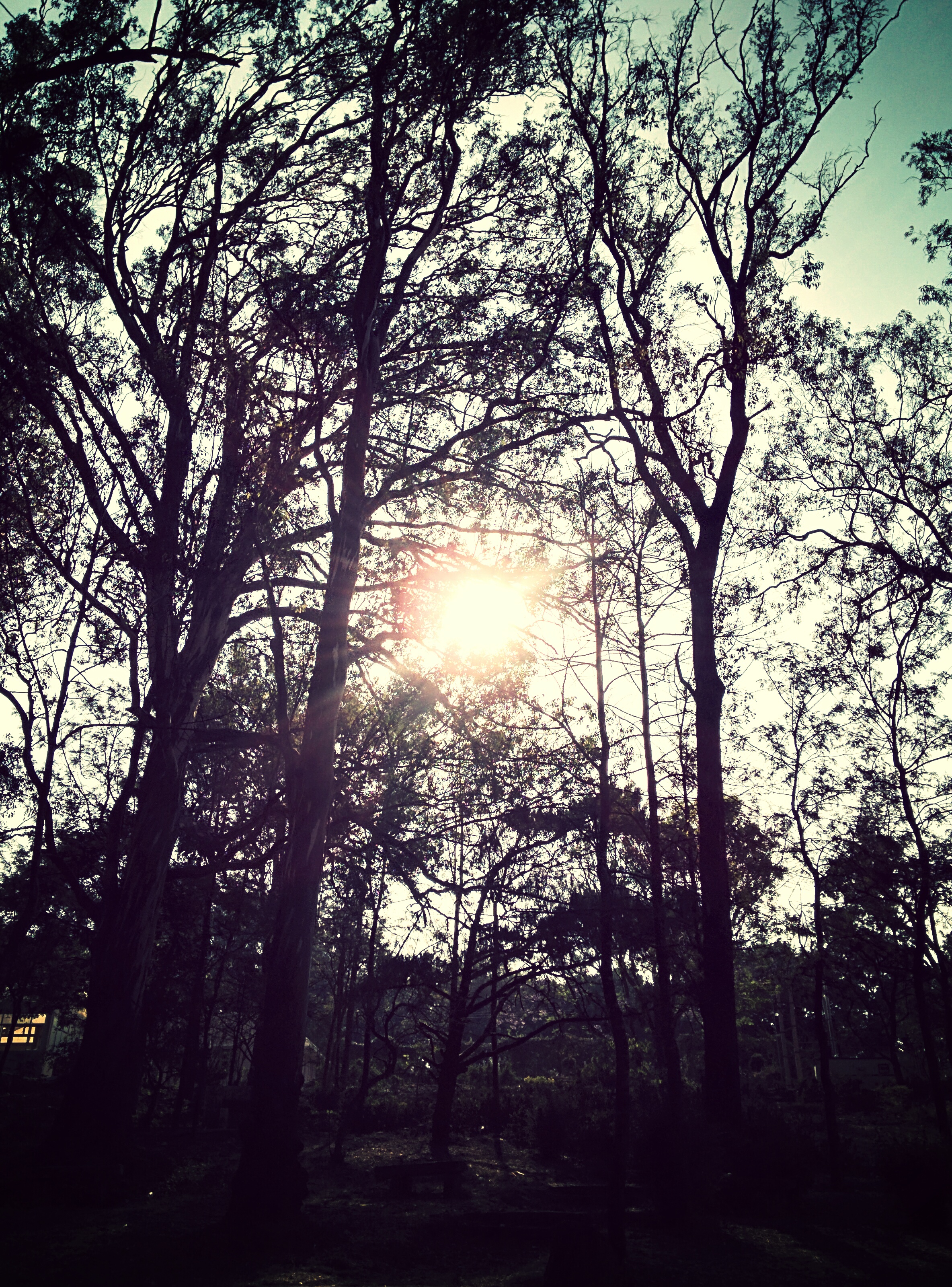
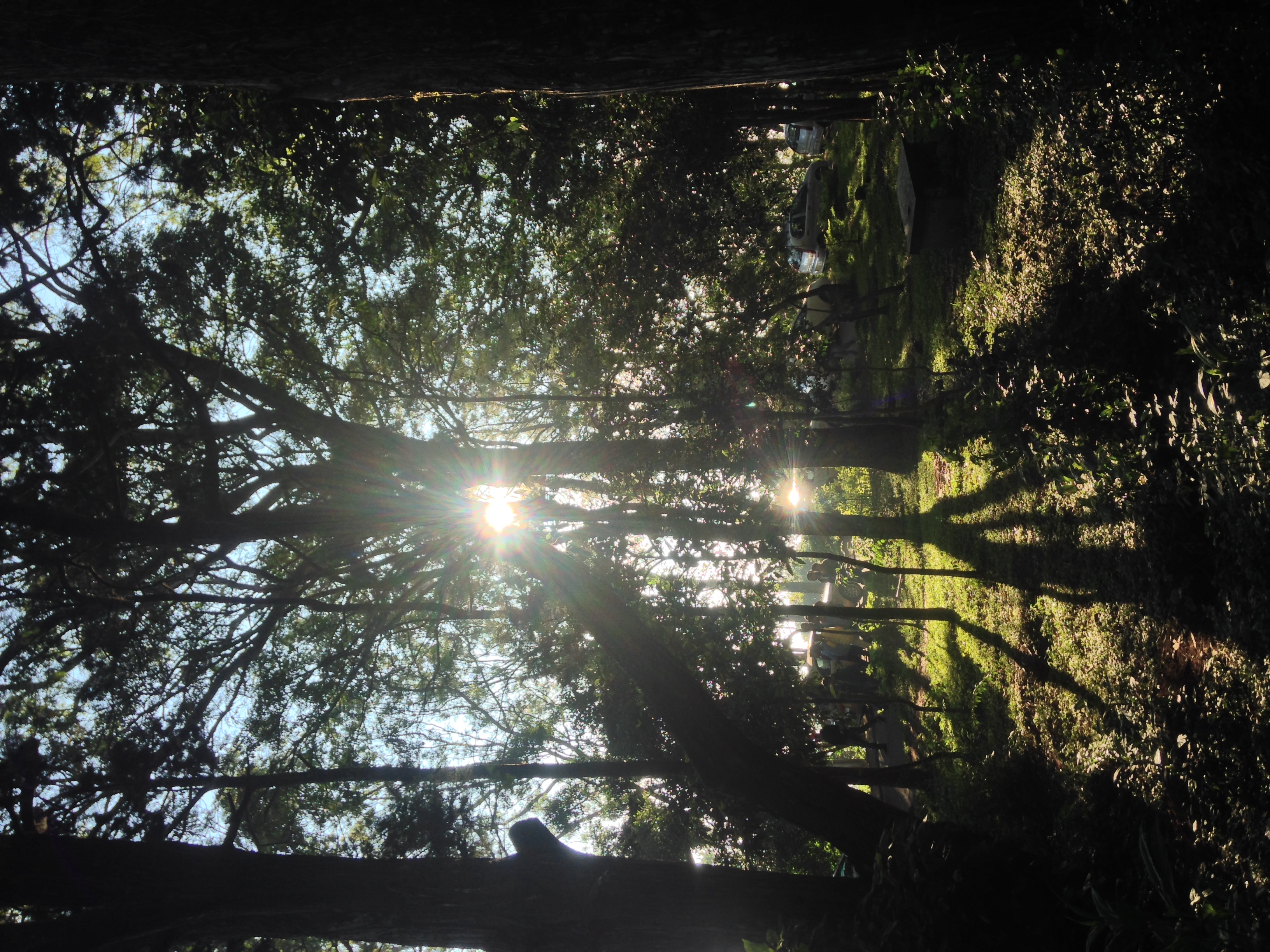
Shining through
Topographic Map of Bangalore Rural, Karnataka, India
Find elevation by address:

Places in Bangalore Rural, Karnataka, India:
Doddaballapura
Attur
Obalapura
Dasarahalli
Hoskote
Sakkaregollahalli
Ilathore
Pujanahalli
Southegowdanahalli
Kempalingapura
Rajanukunte
Places near Bangalore Rural, Karnataka, India:
Kempalingapura
Doddaballapura
Earthsong By Manyata
Ilathore
Pujanahalli
Nandi Hills
Devanahalli
Southegowdanahalli
Rajanukunte
Bagalur
Sattva Horizon
Kenchanahalli Road
Kenchenahalli
Yelahanka
Yelahanka New Town
Chikkaballapura
Hulukadi Betta
Vidyaranyapura
Sakkaregollahalli
Kaurava Kunda Peak
Recent Searches:
- Elevation of Corso Fratelli Cairoli, 35, Macerata MC, Italy
- Elevation of Tallevast Rd, Sarasota, FL, USA
- Elevation of 4th St E, Sonoma, CA, USA
- Elevation of Black Hollow Rd, Pennsdale, PA, USA
- Elevation of Oakland Ave, Williamsport, PA, USA
- Elevation of Pedrógão Grande, Portugal
- Elevation of Klee Dr, Martinsburg, WV, USA
- Elevation of Via Roma, Pieranica CR, Italy
- Elevation of Tavkvetili Mountain, Georgia
- Elevation of Hartfords Bluff Cir, Mt Pleasant, SC, USA