Elevation of Ban Trok Kea, Khon Hat, Cha-uat District, Nakhon Si Thammarat, Thailand
Location: Thailand > Nakhon Si Thammarat > Cha-uat > Cha-uat District >
Longitude: 100.021096
Latitude: 7.8730642
Elevation: 9m / 30feet
Barometric Pressure: 101KPa
Elevation Map:
Satellite Map:
Related Photos:

Abyss Walker Retreat

Thale Noi

Thale Noi

Thale Noi Nature Reserve

Three Friends at Thale Noi
Thale Noi Nature Reserve
Thale Noi Nature Reserve

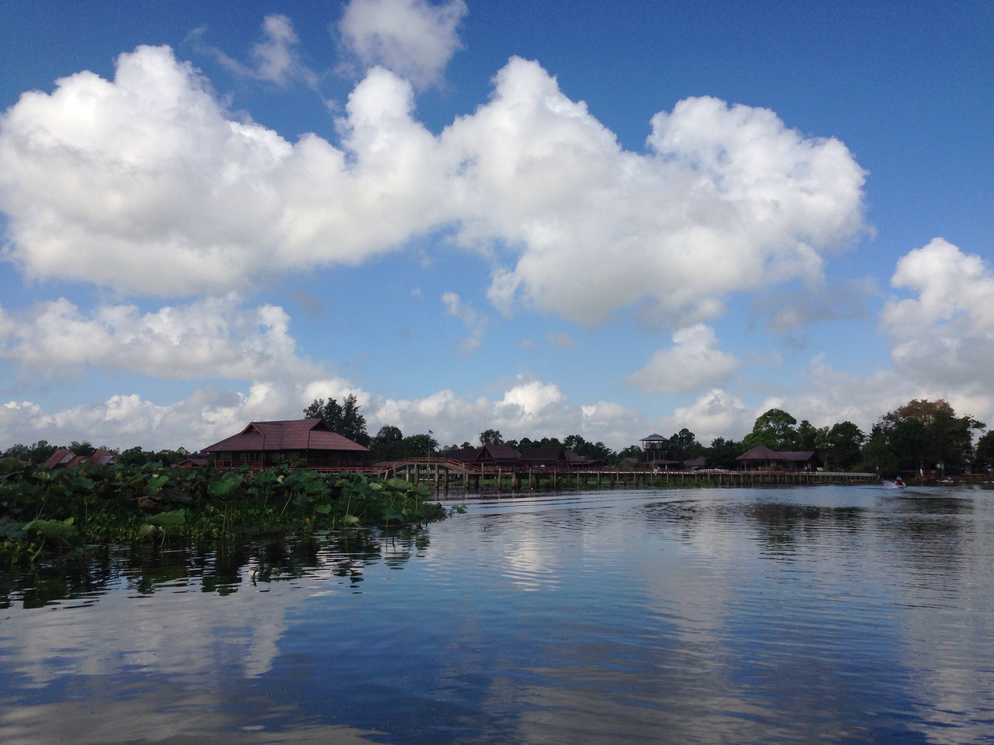
Thale Noi Nature Reserve

Thale Noi Nature Reserve

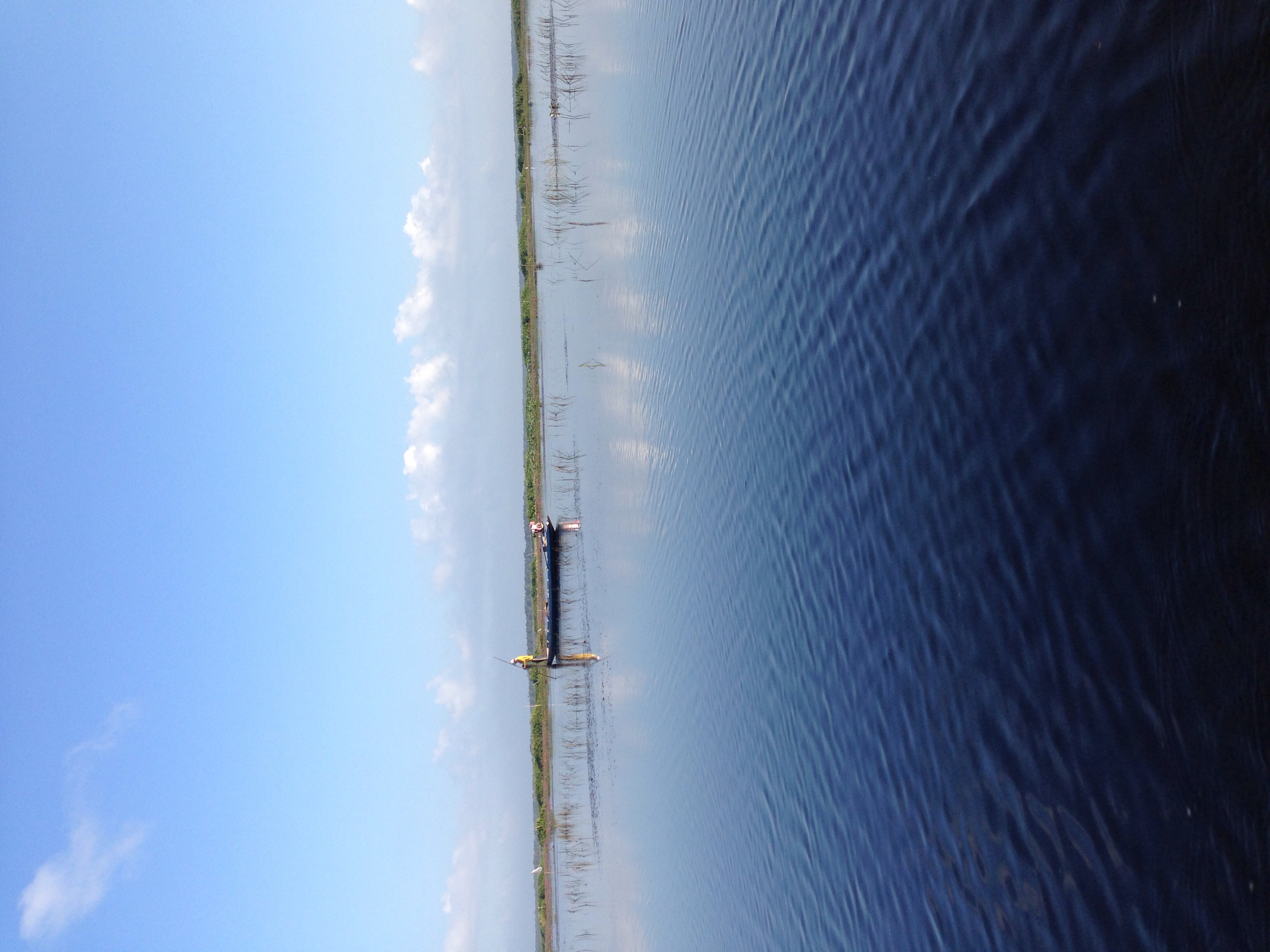
Thale Noi Nature Reserve

Thale Noi Nature Reserve

Thale Noi Nature Reserve

Thale Noi Nature Reserve

Thale Noi Nature Reserve

A Glimpse Of Sunrise
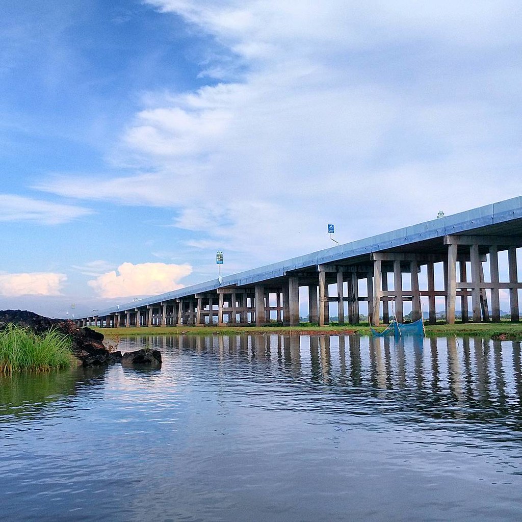
สะพานเฉลิมพระเกียรติ ทะเลน้อย
Talay Noi #sunset
Topographic Map of Ban Trok Kea, Khon Hat, Cha-uat District, Nakhon Si Thammarat, Thailand
Find elevation by address:

Places near Ban Trok Kea, Khon Hat, Cha-uat District, Nakhon Si Thammarat, Thailand:
Cha-uat District
Cha-uat
Phatthalung
Nakhon Si Thammarat
Songkhla, Thailand
Bang Klam
Bang Klam District
Songkhla
Mueang Songkhla District
Songkhla
Recent Searches:
- Elevation of Corso Fratelli Cairoli, 35, Macerata MC, Italy
- Elevation of Tallevast Rd, Sarasota, FL, USA
- Elevation of 4th St E, Sonoma, CA, USA
- Elevation of Black Hollow Rd, Pennsdale, PA, USA
- Elevation of Oakland Ave, Williamsport, PA, USA
- Elevation of Pedrógão Grande, Portugal
- Elevation of Klee Dr, Martinsburg, WV, USA
- Elevation of Via Roma, Pieranica CR, Italy
- Elevation of Tavkvetili Mountain, Georgia
- Elevation of Hartfords Bluff Cir, Mt Pleasant, SC, USA