Elevation of Ban Na, Ban Na District, Nakhon Nayok, Thailand
Location: Thailand > Nakhon Nayok >
Longitude: 101.031582
Latitude: 14.2559497
Elevation: 8m / 26feet
Barometric Pressure: 101KPa
Elevation Map:
Satellite Map:
Related Photos:

Bamboo Grove

Good #Morning

Hello Wednesday........ #tried #landscape #sunrise

Wat Thamma Panya

#Beautiful

#稻

田
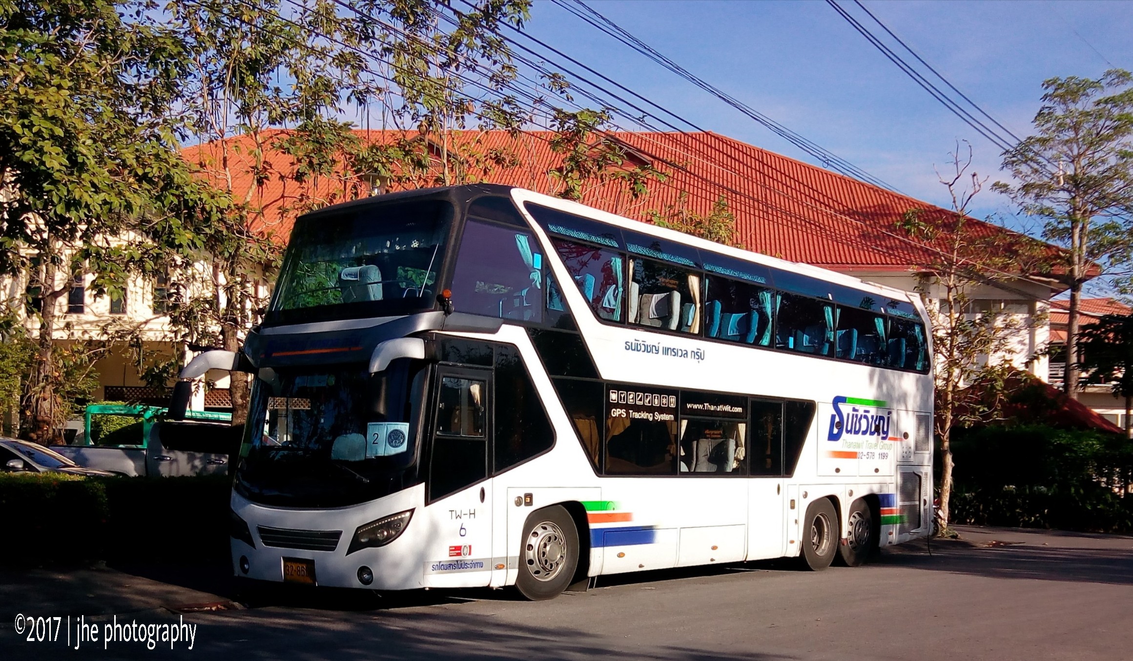
Thai Double decker

Volvo and Man
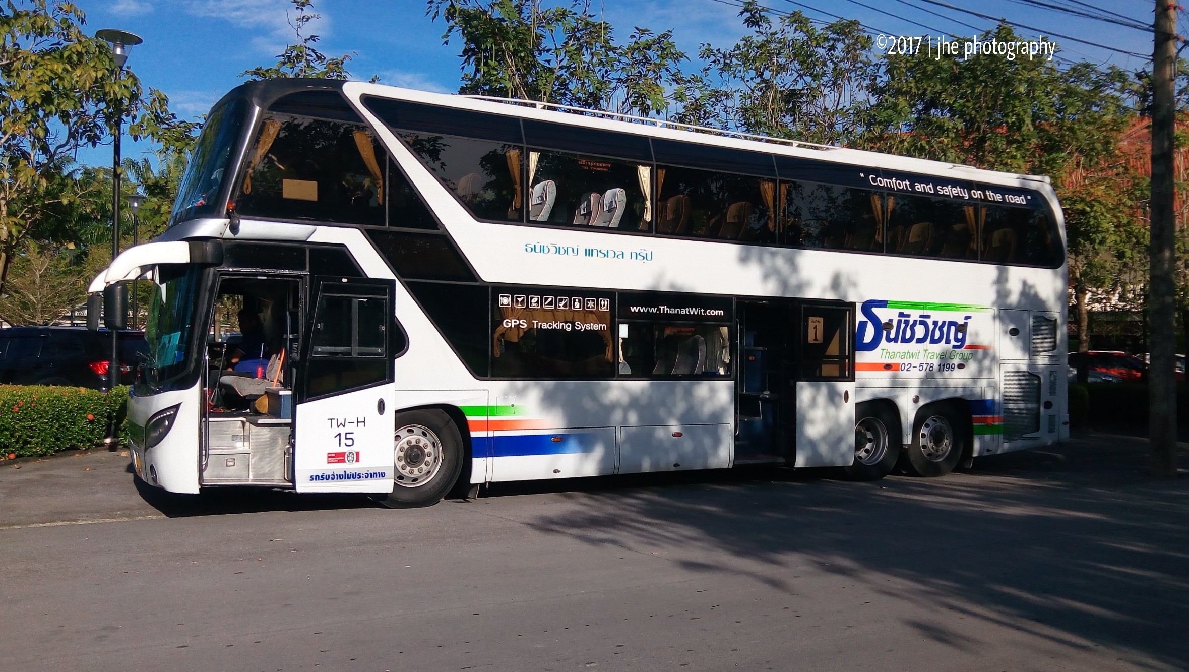
Thai Double decker
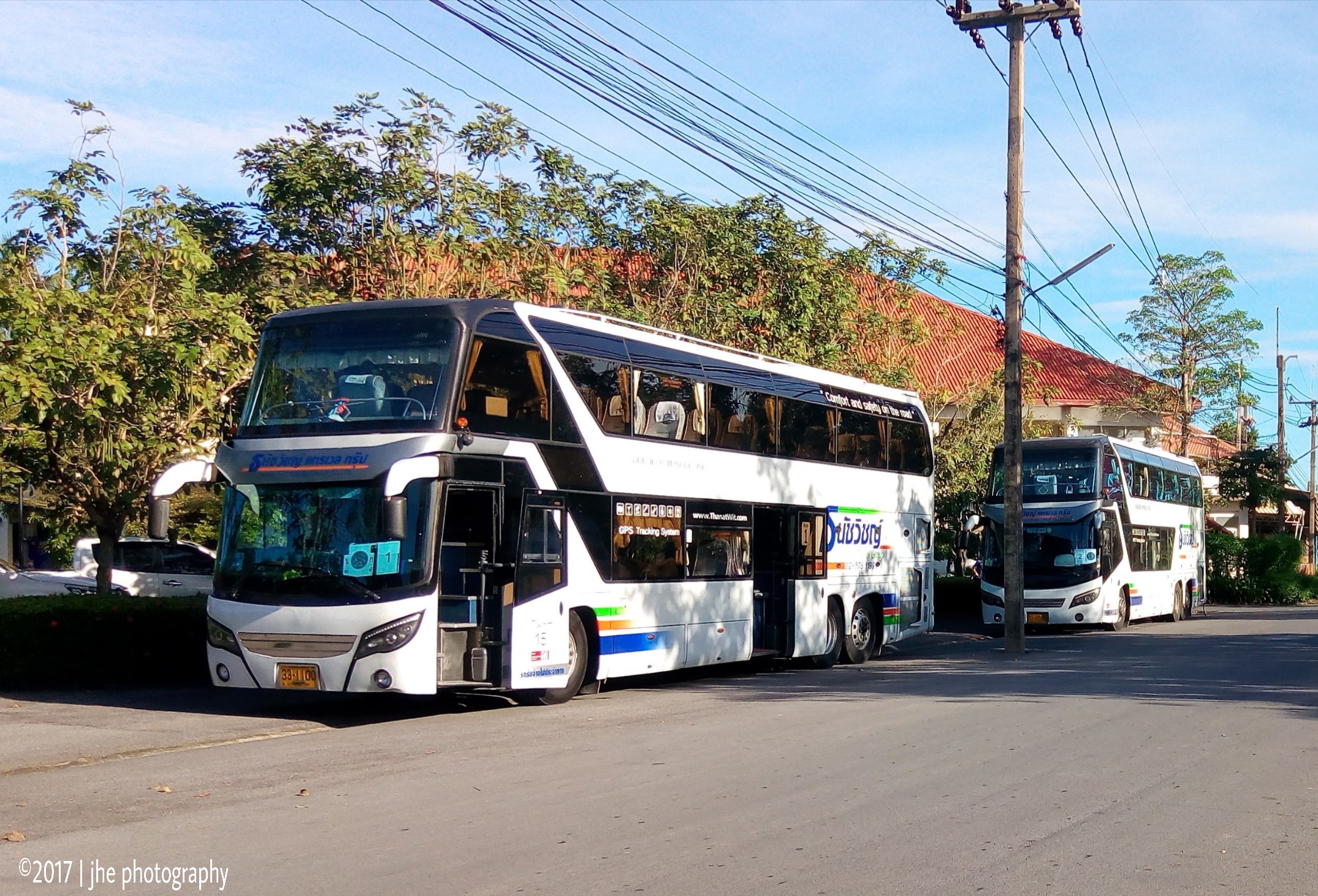
Thai Double decker
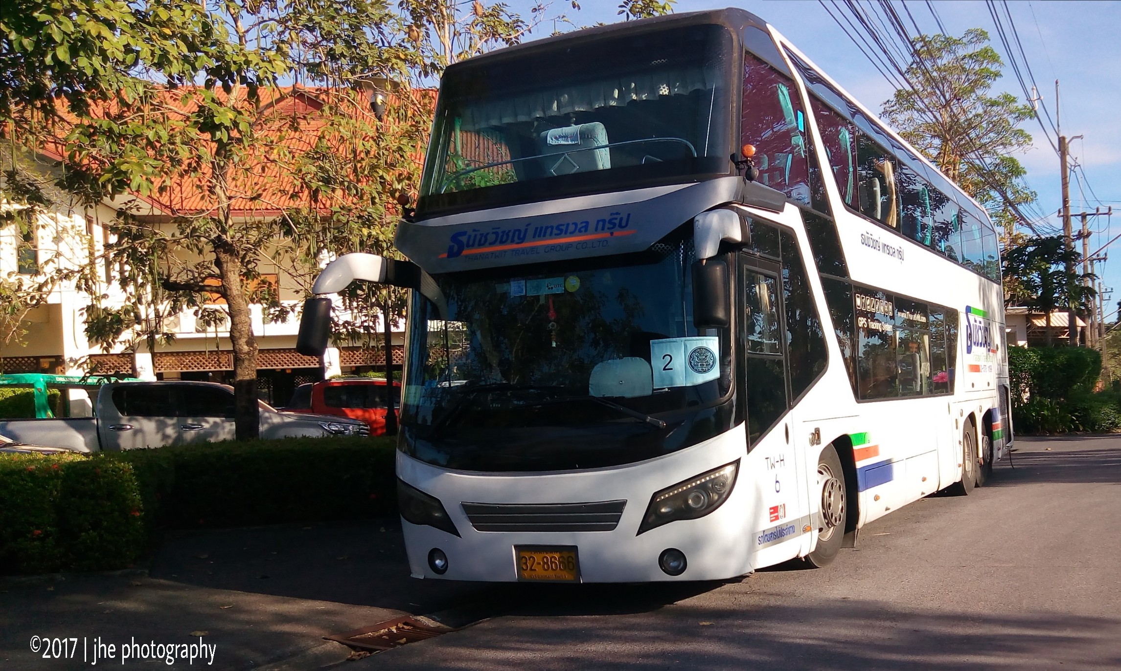
Thai Double decker
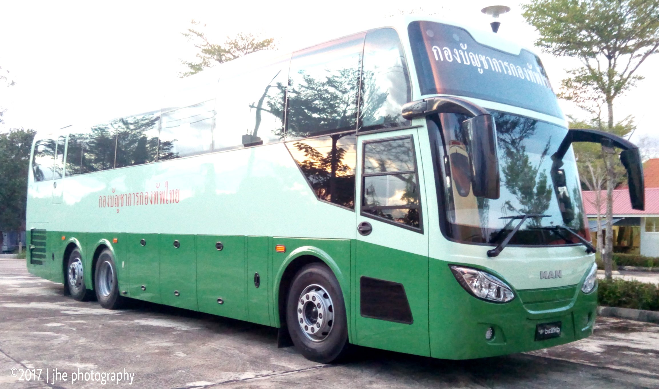
Its a MAN Thing
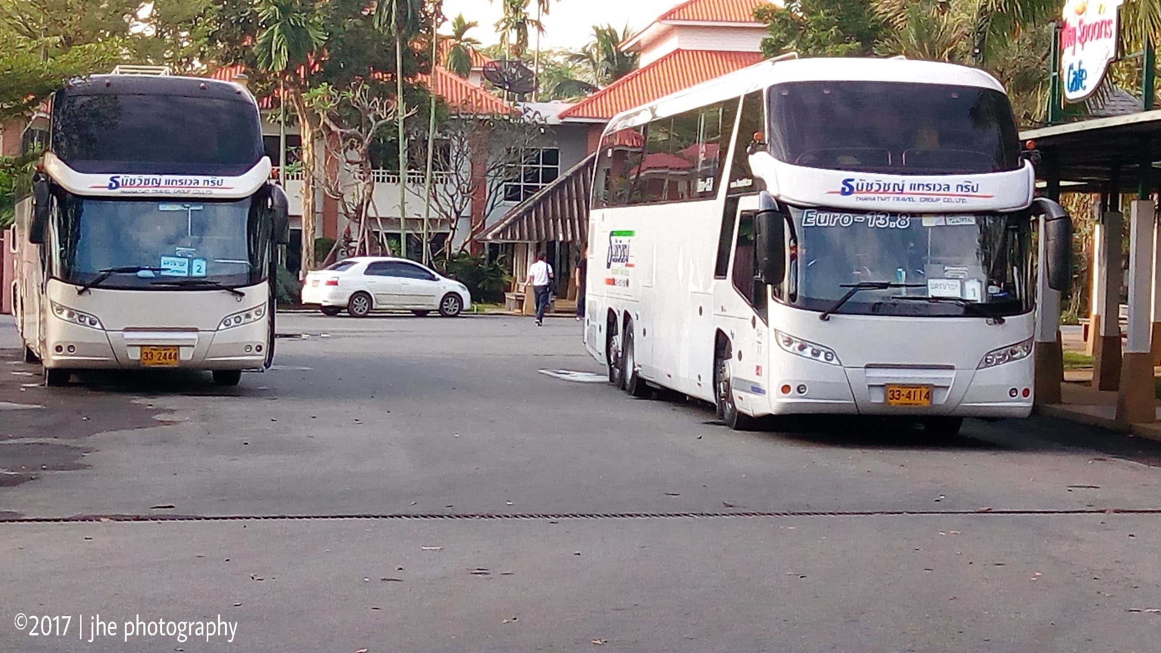
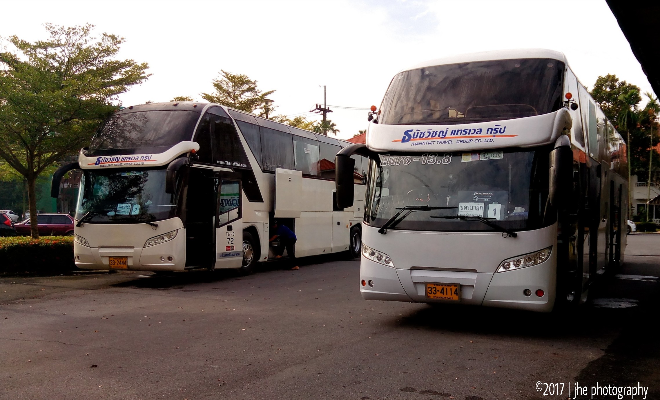
Our shuttle to the venue

Our shuttle to the venue thai Scania
Our shuttle to the venue. the two Scania

Our shuttle to the venue
Topographic Map of Ban Na, Ban Na District, Nakhon Nayok, Thailand
Find elevation by address:

Places near Ban Na, Ban Na District, Nakhon Nayok, Thailand:
กมล ซ้อมสร้างยานยนต์
Khlong Rua
Wihan Daeng District
Nong Rong
Khao Phra
Baan Banana Resort
Mueang Nakhon Nayok District
Nakhon Nayok
Muang Nakhon Nayok District Office
Ban Yai
Nong Khae District
Thanon Highway 3261
Wat Luang Phor Pak Daeng
The Pine เดอะ ไพน์ สระบุรี
The Village By Northland
Khok Sawang
Mueang Saraburi District
Saraburi
หมู่บ้านธาราวาน่า Taravana
Alpine Golf & Sports Club
Recent Searches:
- Elevation of Corso Fratelli Cairoli, 35, Macerata MC, Italy
- Elevation of Tallevast Rd, Sarasota, FL, USA
- Elevation of 4th St E, Sonoma, CA, USA
- Elevation of Black Hollow Rd, Pennsdale, PA, USA
- Elevation of Oakland Ave, Williamsport, PA, USA
- Elevation of Pedrógão Grande, Portugal
- Elevation of Klee Dr, Martinsburg, WV, USA
- Elevation of Via Roma, Pieranica CR, Italy
- Elevation of Tavkvetili Mountain, Georgia
- Elevation of Hartfords Bluff Cir, Mt Pleasant, SC, USA