Elevation map of Bamingui-Bangoran, Central African Republic
Location: Central African Republic >
Longitude: 20.7122465
Latitude: 8.2733455
Elevation: 637m / 2090feet
Barometric Pressure: 94KPa
Elevation Map:
Satellite Map:
Related Photos:

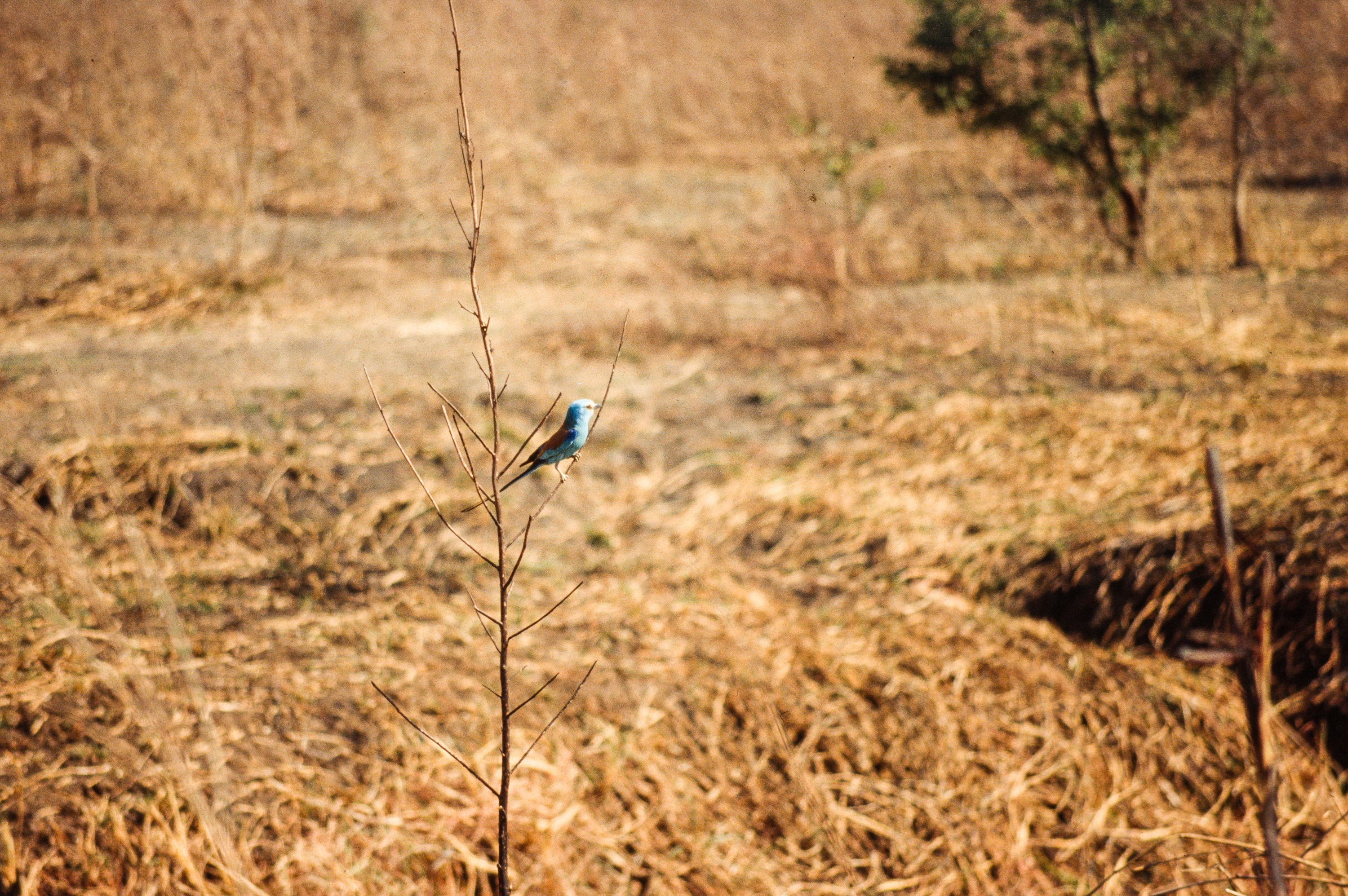
La réserve de La Gounda

La réserve de La Gounda

La réserve de La Gounda
La réserve de La Gounda

La réserve de La Gounda

La réserve de La Gounda

La réserve de La Gounda

La réserve de La Gounda

Manovo-Gounda St Floris National Park

La réserve de La Gounda
Topographic Map of Bamingui-Bangoran, Central African Republic
Find elevation by address:

Places in Bamingui-Bangoran, Central African Republic:
Places near Bamingui-Bangoran, Central African Republic:
Recent Searches:
- Elevation of Corso Fratelli Cairoli, 35, Macerata MC, Italy
- Elevation of Tallevast Rd, Sarasota, FL, USA
- Elevation of 4th St E, Sonoma, CA, USA
- Elevation of Black Hollow Rd, Pennsdale, PA, USA
- Elevation of Oakland Ave, Williamsport, PA, USA
- Elevation of Pedrógão Grande, Portugal
- Elevation of Klee Dr, Martinsburg, WV, USA
- Elevation of Via Roma, Pieranica CR, Italy
- Elevation of Tavkvetili Mountain, Georgia
- Elevation of Hartfords Bluff Cir, Mt Pleasant, SC, USA