Elevation of Bamako, Mali
Location: Mali > Bamako Capital District >
Longitude: -8.0028892
Latitude: 12.6392316
Elevation: 330m / 1083feet
Barometric Pressure: 97KPa
Elevation Map:
Satellite Map:
Related Photos:

Bamako Garden
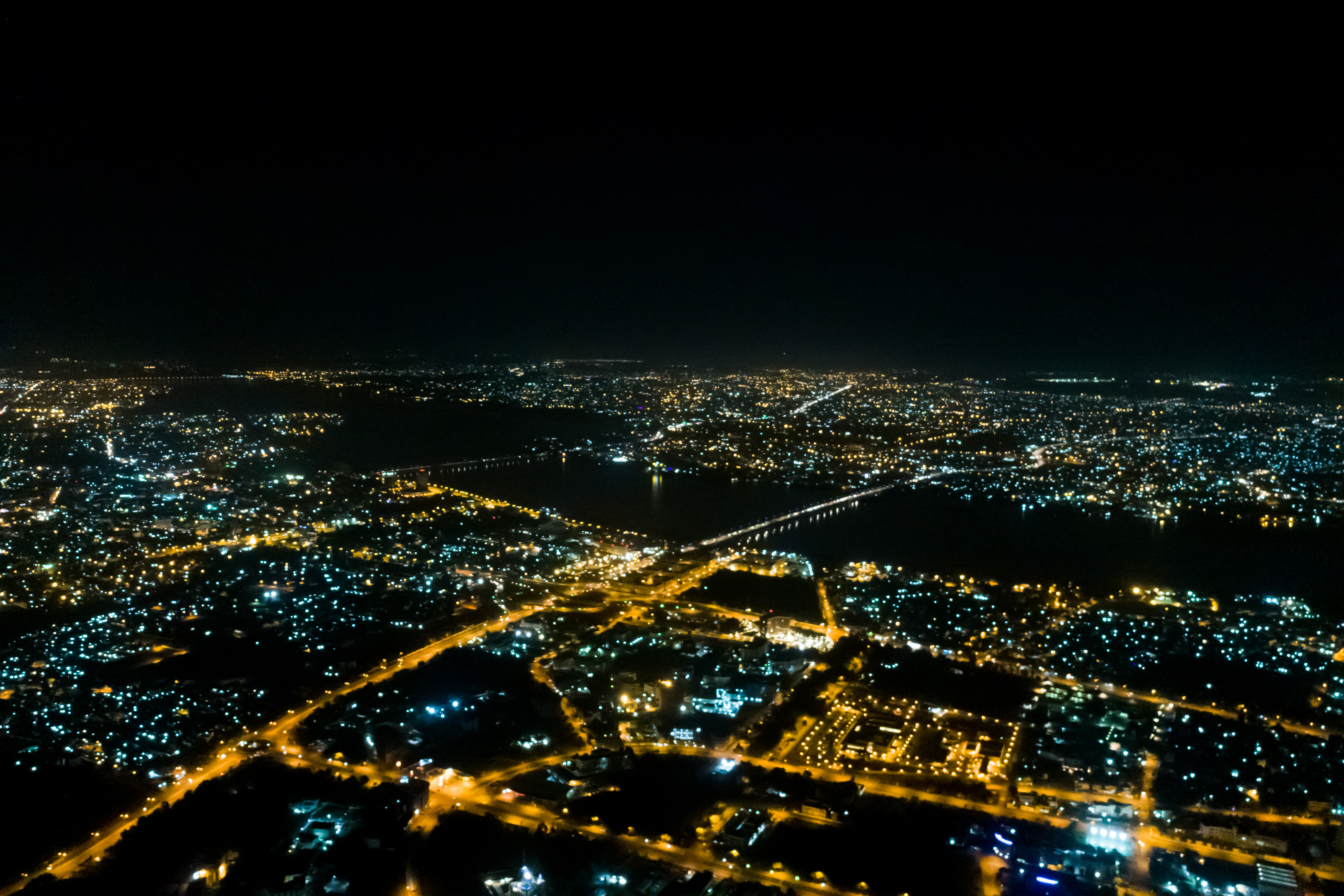
Bamako at Night

ACI 2000

Bamako Donkey
Mali. Bamako. Hotel Mandé, sobre el rio Niger

Outskirts of Bamako

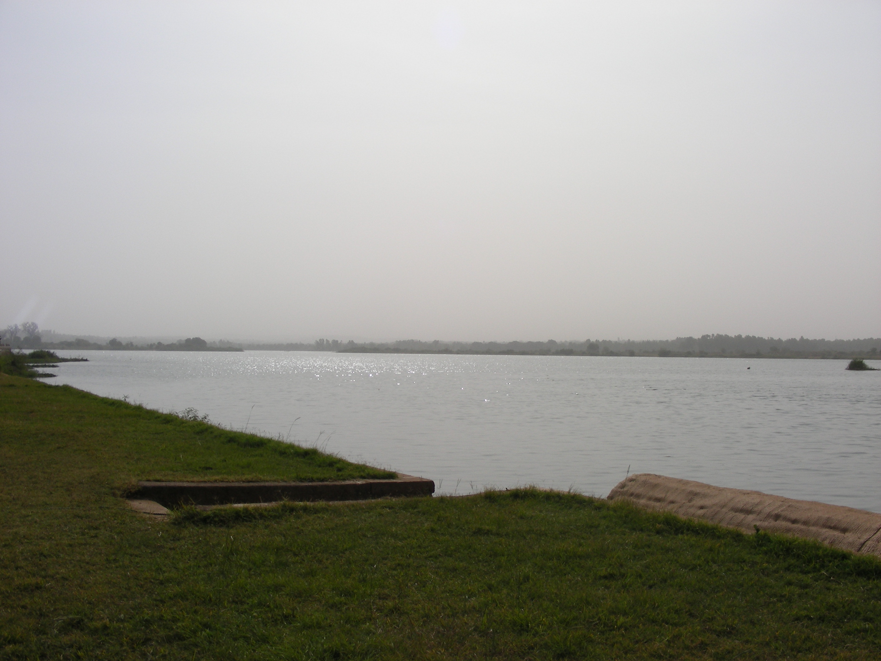
Niger, Sonnenuntergang

Mali 006

Bamako in Year 2000

Bamako in Year 2000

Bamako in Year 2000

Bamako in Year 2000

Bamako in Year 2000

Bamako in Year 2000

Bamako in Year 2000

Bamako in Year 2000

Bamako in Year 2000

Timbuktu Manuscript

IMAG1109-(L)

Bamako Metalworker

Bamako Boy

Bamako Boys

Bamako Street

Bamako Welder

Bamako Portrait

Bamako Metalworker

Bamako Headscarf

Montpellier City !

Bamako Metalworker
Topographic Map of Bamako, Mali
Find elevation by address:

Places in Bamako, Mali:
Places near Bamako, Mali:
Recent Searches:
- Elevation of Corso Fratelli Cairoli, 35, Macerata MC, Italy
- Elevation of Tallevast Rd, Sarasota, FL, USA
- Elevation of 4th St E, Sonoma, CA, USA
- Elevation of Black Hollow Rd, Pennsdale, PA, USA
- Elevation of Oakland Ave, Williamsport, PA, USA
- Elevation of Pedrógão Grande, Portugal
- Elevation of Klee Dr, Martinsburg, WV, USA
- Elevation of Via Roma, Pieranica CR, Italy
- Elevation of Tavkvetili Mountain, Georgia
- Elevation of Hartfords Bluff Cir, Mt Pleasant, SC, USA