Elevation map of Ballia, Uttar Pradesh, India
Location: India > Uttar Pradesh >
Longitude: 84.1857115
Latitude: 25.8307174
Elevation: 57m / 187feet
Barometric Pressure: 101KPa
Elevation Map:
Satellite Map:
Related Photos:

Sand Workers, Ganga River, Doriganj Aera, Bihar India

Sandboat Workers on Ganges, Doriganj Aera, Bihar
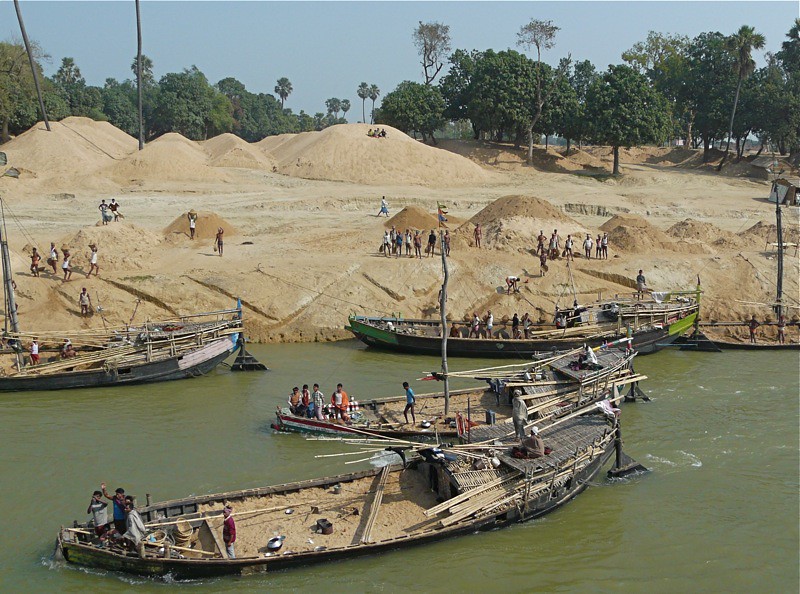
Sandboats on Ganges, Doriganj Aera, Bihar
Topographic Map of Ballia, Uttar Pradesh, India
Find elevation by address:

Places in Ballia, Uttar Pradesh, India:
Places near Ballia, Uttar Pradesh, India:
Ballia
Bhojpur
Buxar
Buxar
Nikasi
Siwan
Ramgarh
India
Unnamed Road
Mau
Mau
Deoria
Azamgarh
Azamgarh
Dhaurahara
Jaunpur
Varanasi
Hariharpur
Recent Searches:
- Elevation of Corso Fratelli Cairoli, 35, Macerata MC, Italy
- Elevation of Tallevast Rd, Sarasota, FL, USA
- Elevation of 4th St E, Sonoma, CA, USA
- Elevation of Black Hollow Rd, Pennsdale, PA, USA
- Elevation of Oakland Ave, Williamsport, PA, USA
- Elevation of Pedrógão Grande, Portugal
- Elevation of Klee Dr, Martinsburg, WV, USA
- Elevation of Via Roma, Pieranica CR, Italy
- Elevation of Tavkvetili Mountain, Georgia
- Elevation of Hartfords Bluff Cir, Mt Pleasant, SC, USA