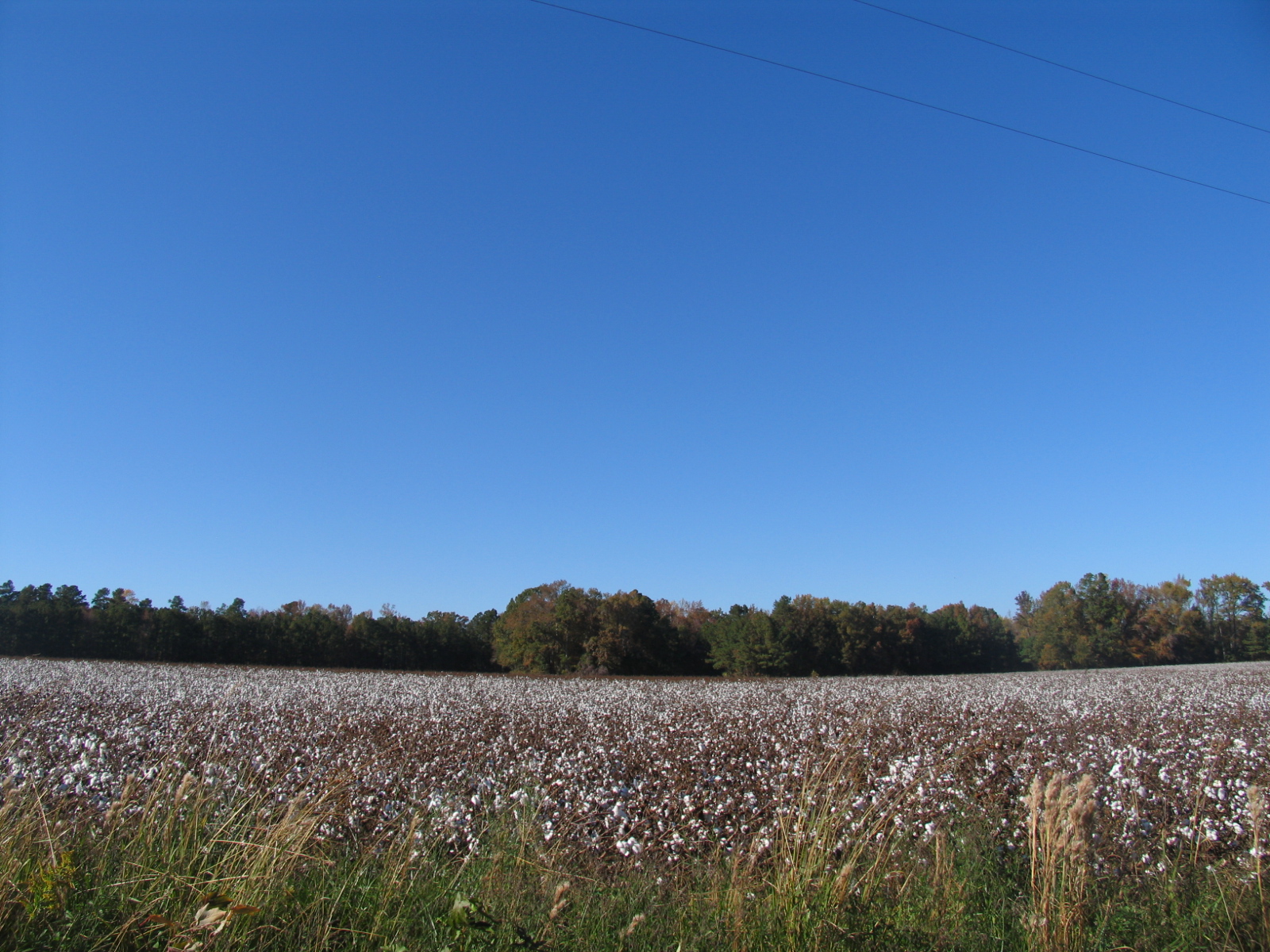
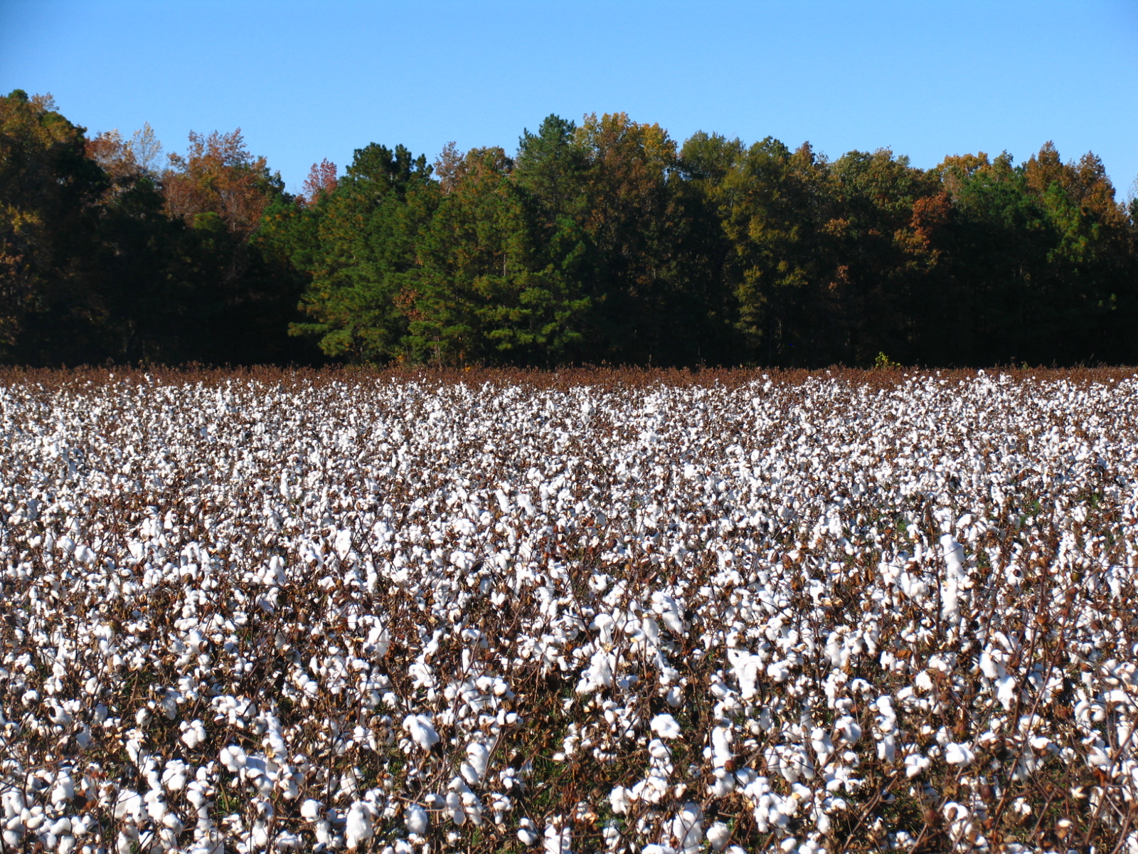
Elevation of Baldwin Elkins Rd, Clarkton, NC, USA
Location: United States > North Carolina > Bladen County > Brown Marsh > Clarkton >
Longitude: -78.611921
Latitude: 34.4633804
Elevation: 26m / 85feet
Barometric Pressure: 101KPa
Elevation Map:
Satellite Map:
Related Photos:

Way Up There

Day 289/365 - Catch Me If You Can

IMAG0050
IMG_9412
IMG_9420
Topographic Map of Baldwin Elkins Rd, Clarkton, NC, USA
Find elevation by address:

Places near Baldwin Elkins Rd, Clarkton, NC, USA:
Nc Hwy E, Clarkton, NC, USA
1486 Nc-211
State Rd, Clarkton, NC, USA
Clarkton
John Spaulding Road
Brown Marsh
Elkton Rd, Clarkton, NC, USA
Welches Creek
Whites Creek
Rosindale Rd, Clarkton, NC, USA
Rosindale Rd, Council, NC, USA
1959 Whitehall Rd
296 Angelo Cir
Nc Hwy W, Bladenboro, NC, USA
Bladen County
124 Horseshoe Rd
583 Boggy Branch Rd
3815 Sam Potts Hwy
Sam Potts Hwy, Hallsboro, NC, USA
Hallsboro
Recent Searches:
- Elevation of Corso Fratelli Cairoli, 35, Macerata MC, Italy
- Elevation of Tallevast Rd, Sarasota, FL, USA
- Elevation of 4th St E, Sonoma, CA, USA
- Elevation of Black Hollow Rd, Pennsdale, PA, USA
- Elevation of Oakland Ave, Williamsport, PA, USA
- Elevation of Pedrógão Grande, Portugal
- Elevation of Klee Dr, Martinsburg, WV, USA
- Elevation of Via Roma, Pieranica CR, Italy
- Elevation of Tavkvetili Mountain, Georgia
- Elevation of Hartfords Bluff Cir, Mt Pleasant, SC, USA