Elevation of Baker Township, SD, USA
Location: United States > South Dakota > Davison County >
Longitude: -98.243174
Latitude: 43.551006
Elevation: 481m / 1578feet
Barometric Pressure: 96KPa
Elevation Map:
Satellite Map:
Related Photos:

red trail
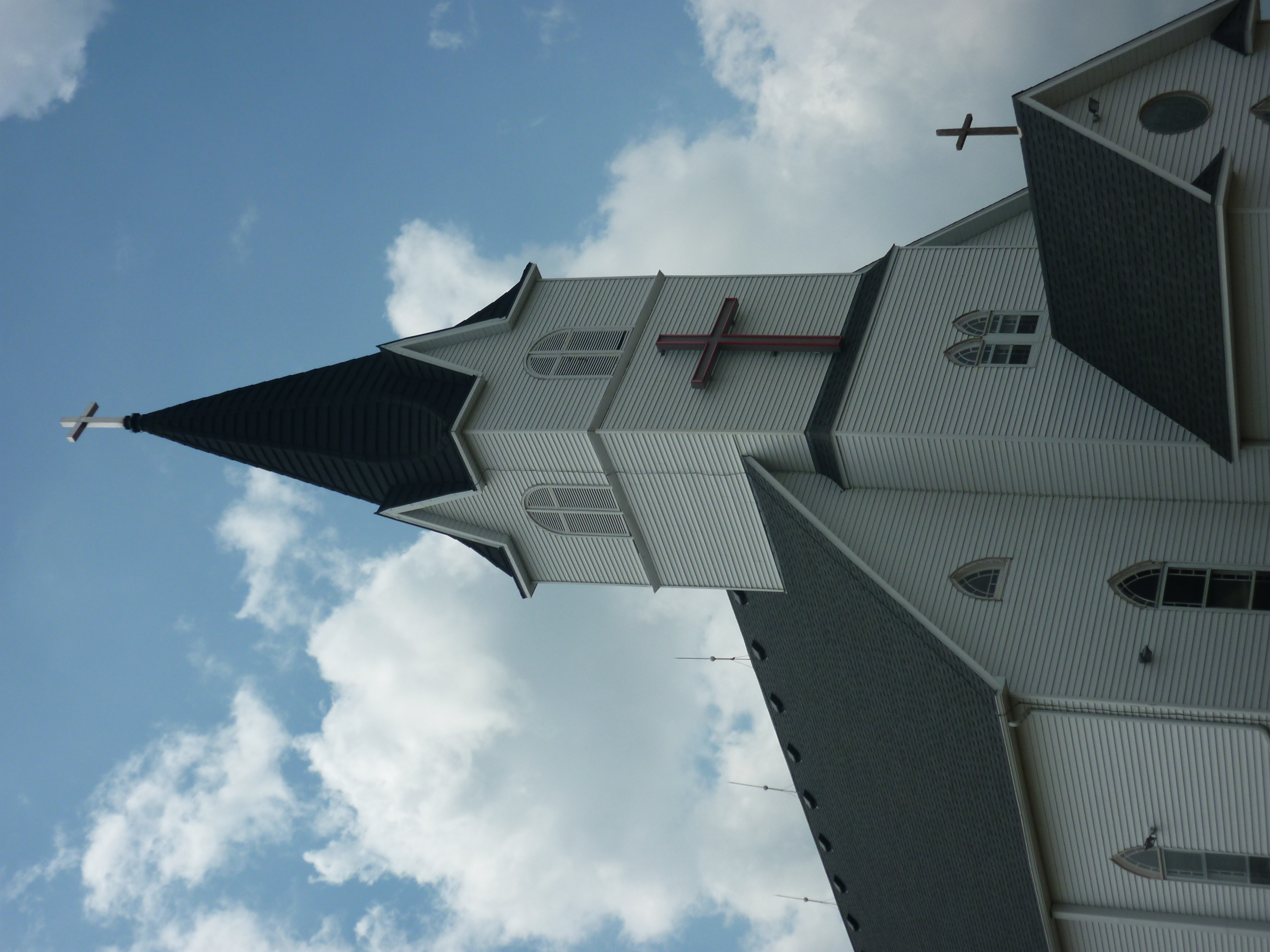
Immanuel Lutheran

20101127-starry night-002

20101126-farm sunrise-051

Sunsetting in Rearview Mirror, South Dakota

Sunsetting in Rearview Mirror, South Dakota
Topographic Map of Baker Township, SD, USA
Find elevation by address:

Places in Baker Township, SD, USA:
Places near Baker Township, SD, USA:
Metzgerville
Tobin Township
402nd Ave & 267th St
403rd Ave & 266th St
40407 271st St
Douglas County
264th Street
Rome Township
Ethan
Dimock
Parkston
E Main St, Parkston, SD, USA
301 S Ben St
Cross Plains Township
Tripp
Wagner
Charles Mix County
Wittenberg Township
42384 282nd St
Hutchinson County
Recent Searches:
- Elevation of Corso Fratelli Cairoli, 35, Macerata MC, Italy
- Elevation of Tallevast Rd, Sarasota, FL, USA
- Elevation of 4th St E, Sonoma, CA, USA
- Elevation of Black Hollow Rd, Pennsdale, PA, USA
- Elevation of Oakland Ave, Williamsport, PA, USA
- Elevation of Pedrógão Grande, Portugal
- Elevation of Klee Dr, Martinsburg, WV, USA
- Elevation of Via Roma, Pieranica CR, Italy
- Elevation of Tavkvetili Mountain, Georgia
- Elevation of Hartfords Bluff Cir, Mt Pleasant, SC, USA