Elevation of Baker Cemetery Rd, Dickson, TN, USA
Location: United States > Tennessee > Dickson County > Dickson >
Longitude: -87.453225
Latitude: 36.060004
Elevation: 209m / 686feet
Barometric Pressure: 99KPa
Elevation Map:
Satellite Map:
Related Photos:

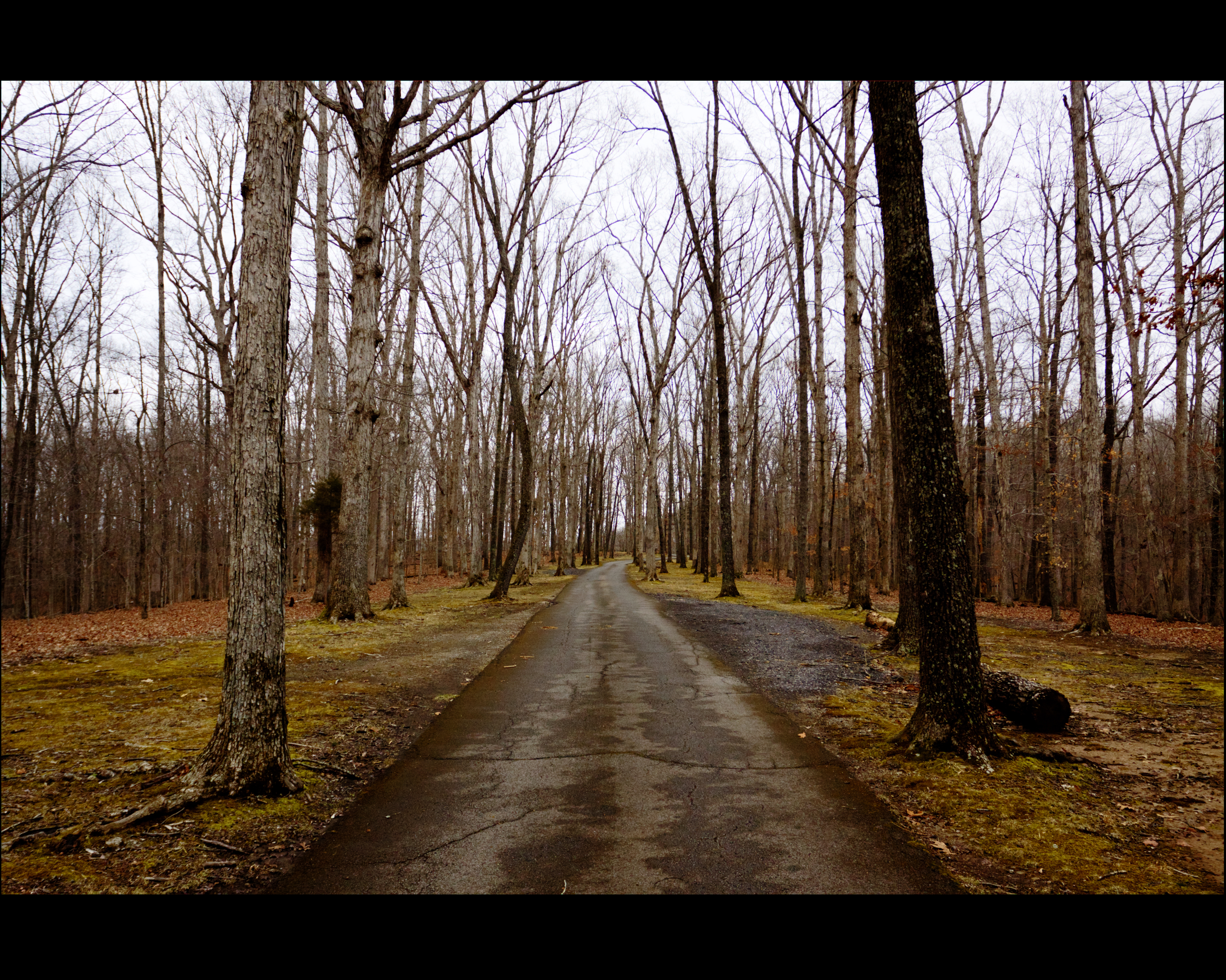
the view from down here

Country View store, Charlotte, Tennessee
future home
end of my day

donut cooking, Country View Market

Arby's in the Rear View Mirror

Walker toy from Grandma & Grandpa
Release my Heart
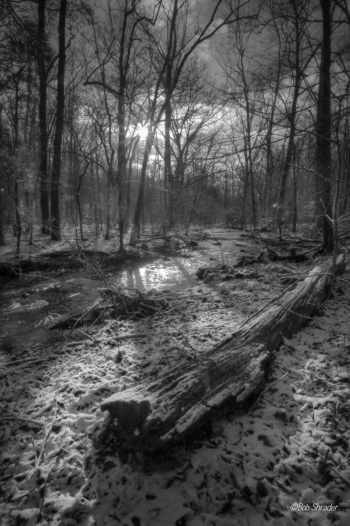
Cold Dust
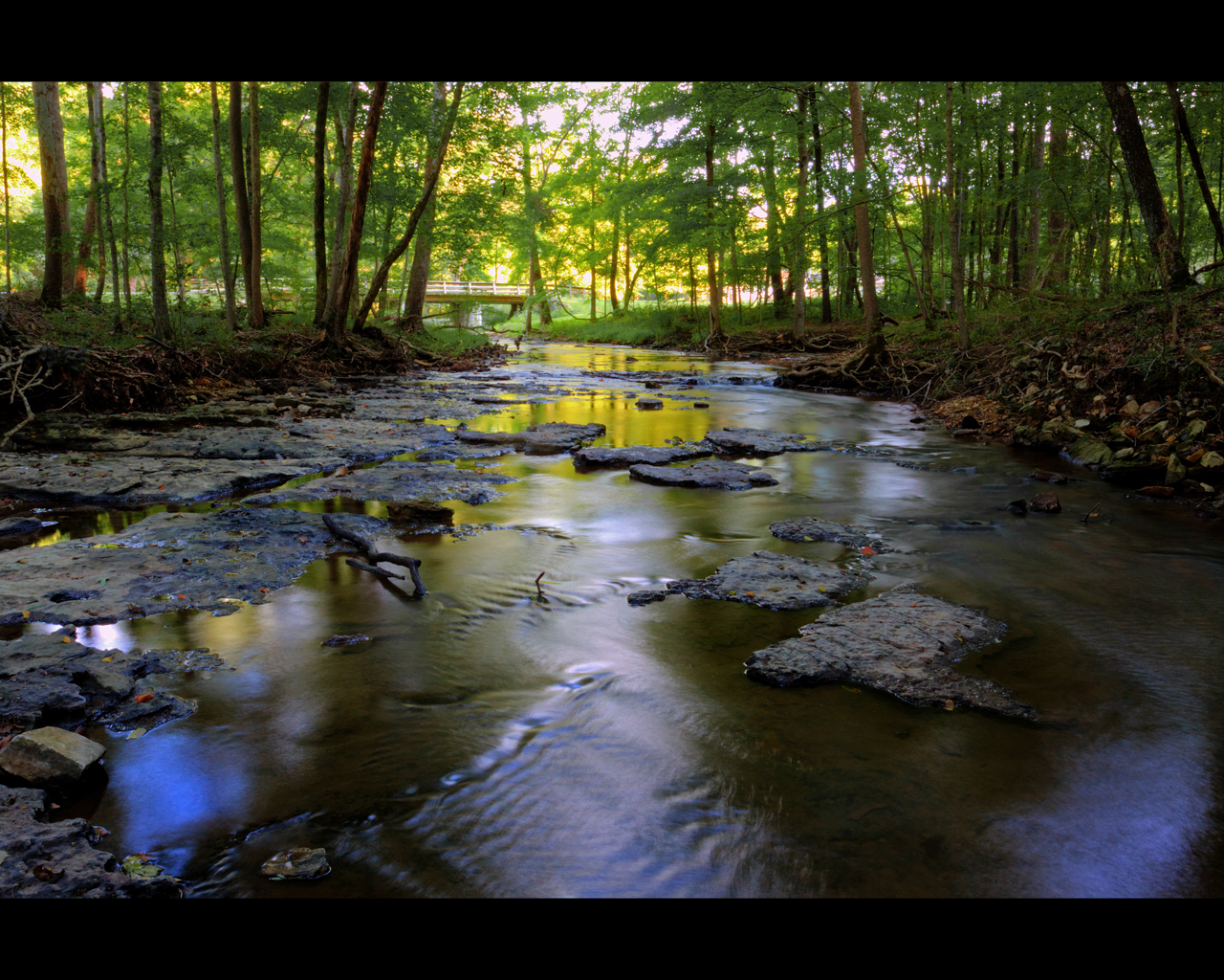
Calm Water Under The Bridge
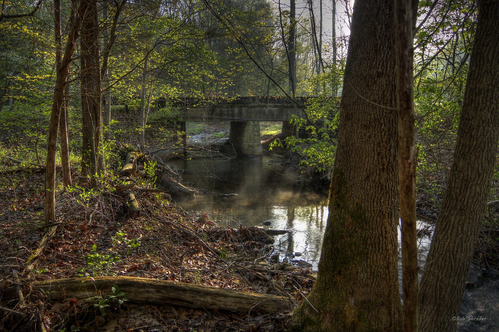
The Old Crossing
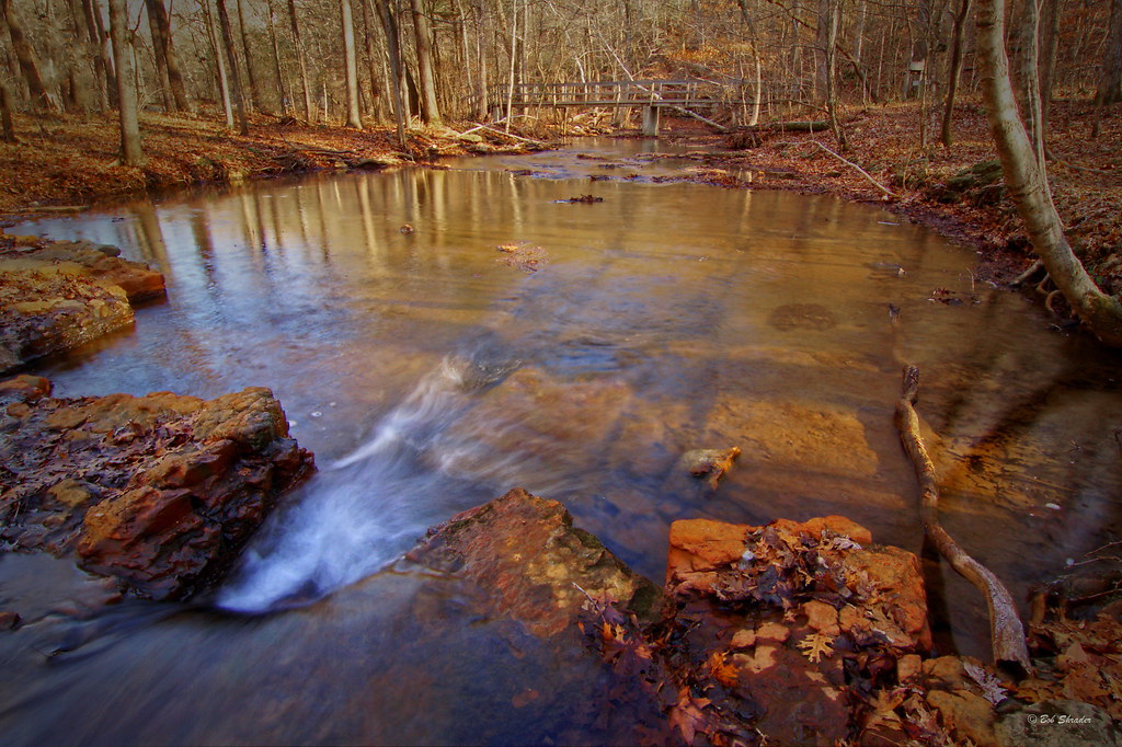
Beautiful creek

Creek bed
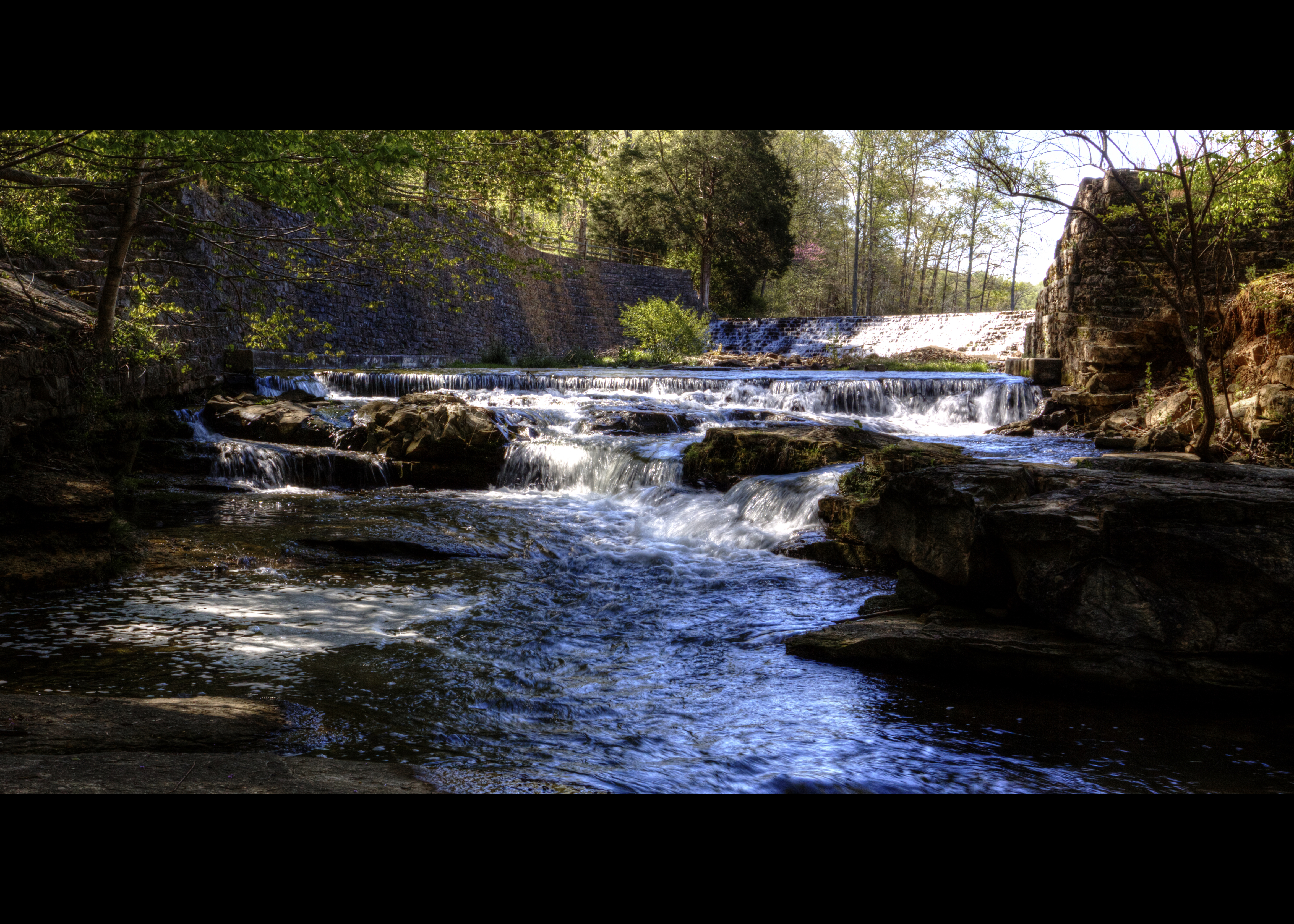
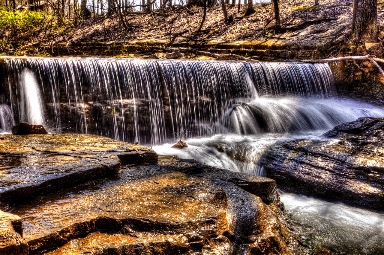
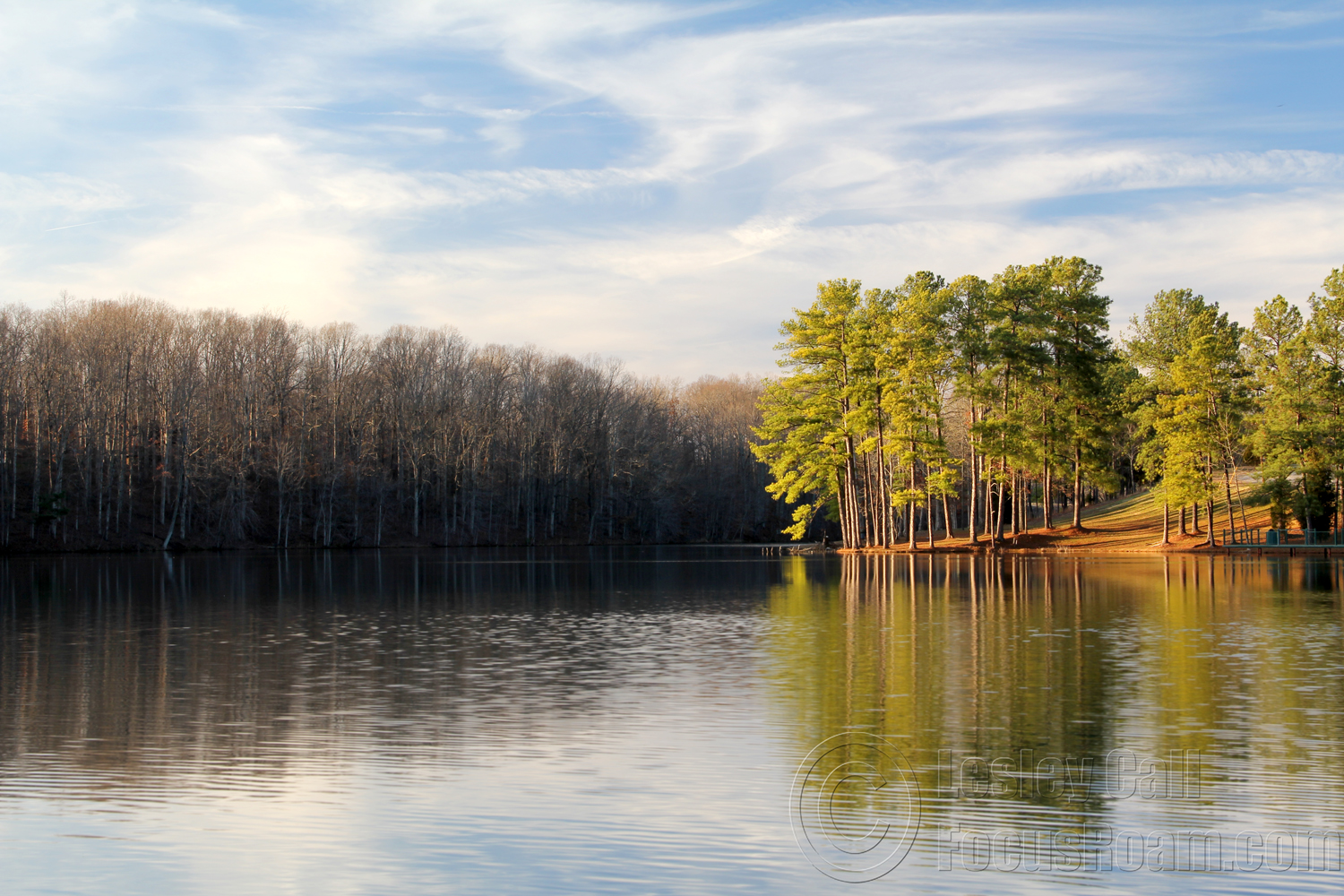
Montgomery Bell State Park
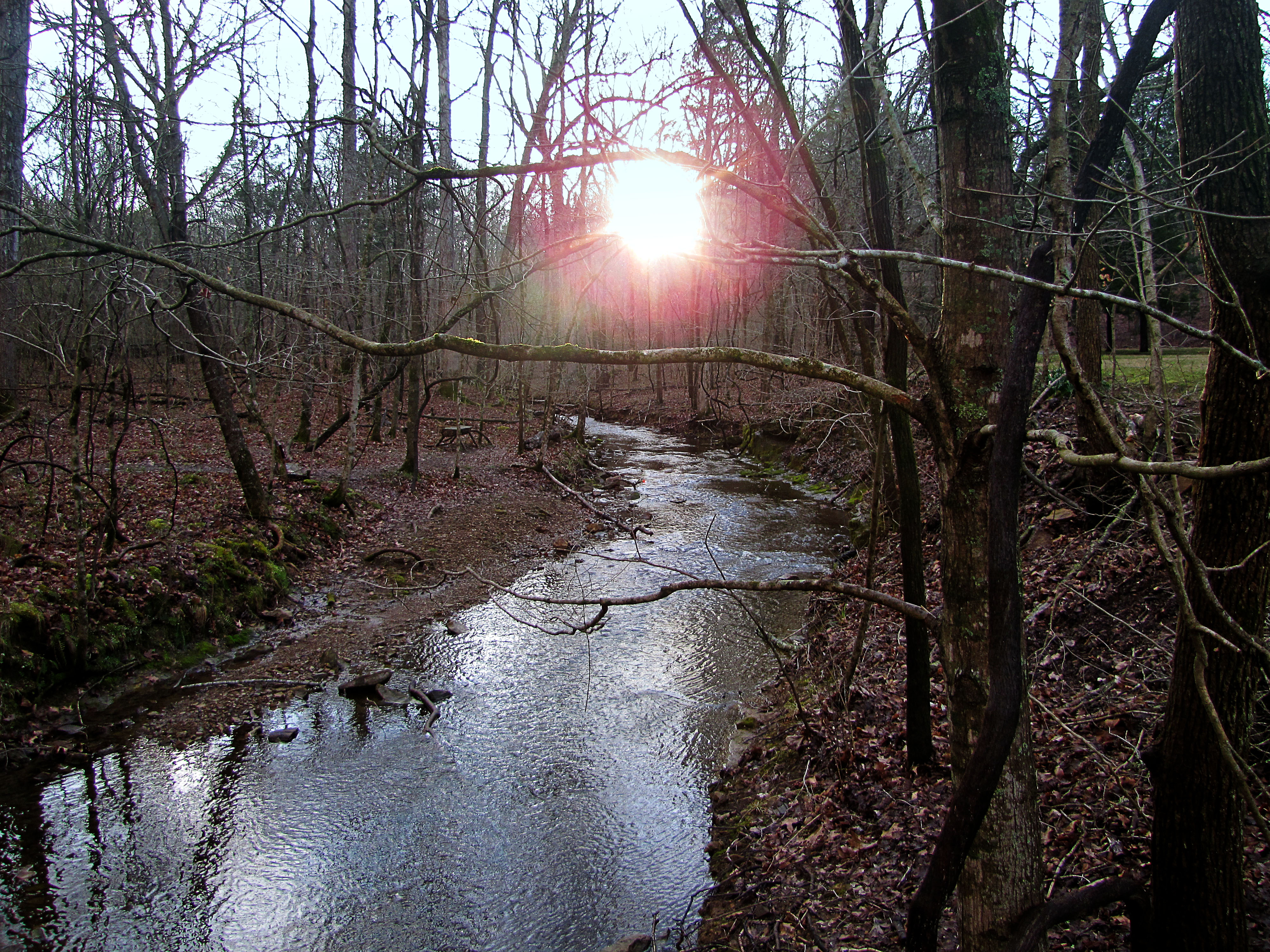
Sunshine on the water

Good morning #roadtoad
The War of Summer and Winter
Anothr One Bites the Dust

Montgomery Bell State Park
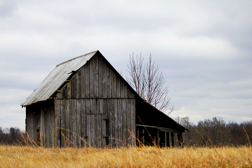
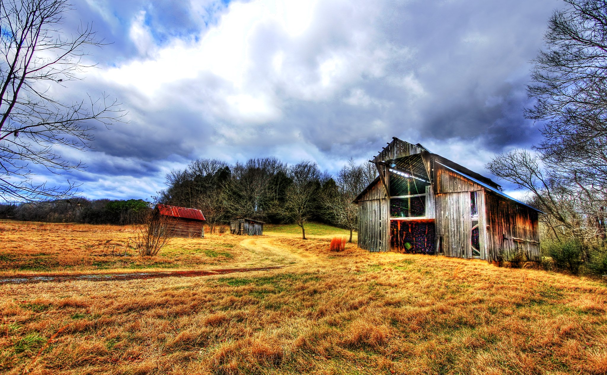
Top of the hill barn
Montgomery Bell State Park

great rift in the sky

Montgomery Bell State Park

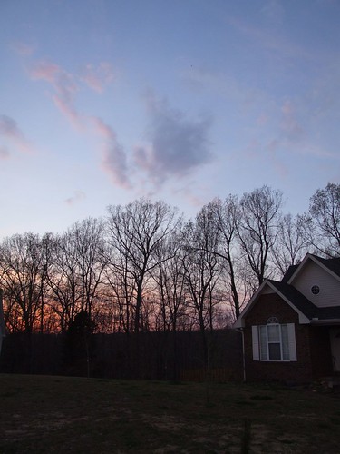
HDR Sunset - Dickson, TN
Altrd Perspectv

HDR Sunset - Dickson, TN
Topographic Map of Baker Cemetery Rd, Dickson, TN, USA
Find elevation by address:

Places near Baker Cemetery Rd, Dickson, TN, USA:
1200 Eno Rd
Dickson
Radioshack
1062 Westfield Rd
Hortense Rd, Dickson, TN, USA
Union Rd, Dickson, TN, USA
239 Old Columbia Rd
214 Old Columbia Rd
Bishop Ln, Burns, TN, USA
Thompson Rd, Dickson, TN, USA
565 Fussell Rd
Sulphur Fork Road
Burns
1074 Rock Church Rd
1675 Columbia Rd
Charlotte
Larkins Cemetery Road
312 Beechwood Dr
1221 Hardwood Trail
Dickson County
Recent Searches:
- Elevation of Corso Fratelli Cairoli, 35, Macerata MC, Italy
- Elevation of Tallevast Rd, Sarasota, FL, USA
- Elevation of 4th St E, Sonoma, CA, USA
- Elevation of Black Hollow Rd, Pennsdale, PA, USA
- Elevation of Oakland Ave, Williamsport, PA, USA
- Elevation of Pedrógão Grande, Portugal
- Elevation of Klee Dr, Martinsburg, WV, USA
- Elevation of Via Roma, Pieranica CR, Italy
- Elevation of Tavkvetili Mountain, Georgia
- Elevation of Hartfords Bluff Cir, Mt Pleasant, SC, USA