Elevation of Baker Ave NW, Buffalo, MN, USA
Location: United States > Minnesota > Wright County > Maple Lake Township >
Longitude: -93.912611
Latitude: 45.229548
Elevation: 305m / 1001feet
Barometric Pressure: 98KPa
Elevation Map:
Satellite Map:
Related Photos:
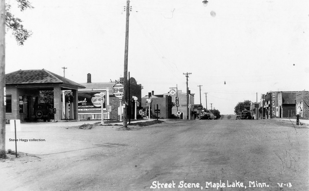
Business District with Deep Rock Gasoline - Maple Lake, Minnesota

Morning Flower
Delaware Water Gap as viewed from Kittatinny Point #njnature #delawarewatergap #nps #newjersey #nature
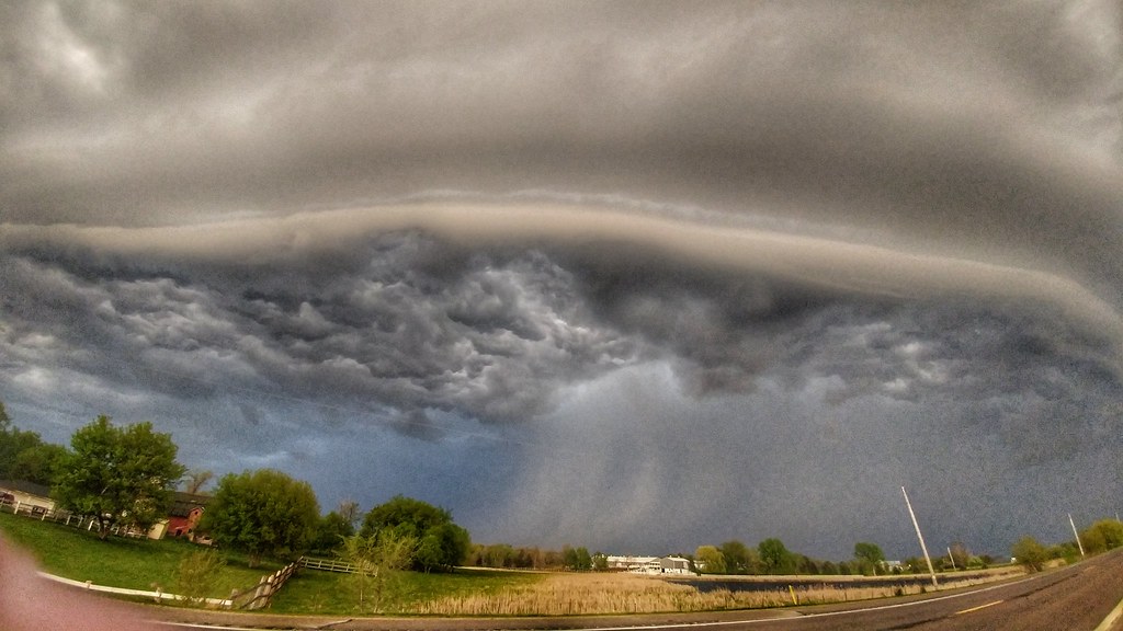
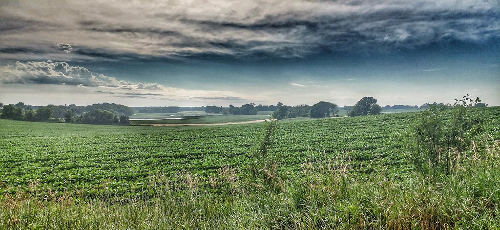
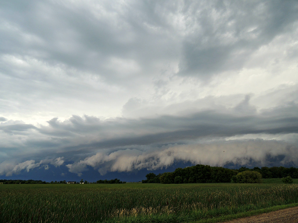
storm 8/6/13, wright co MN10

lake buffalo serene sunset9, 6/18/13, wright co MN
storm 8/6/13, wright co MN11
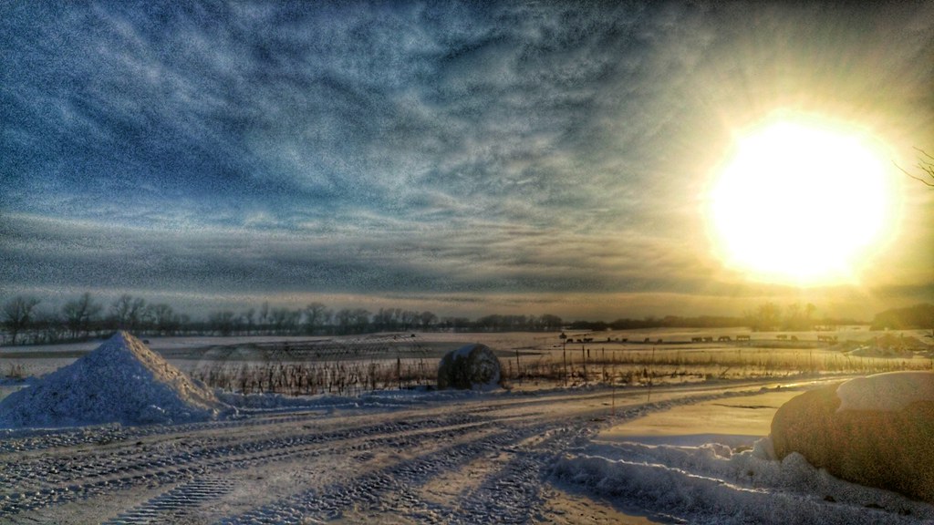
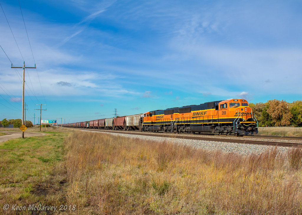
Emerson ave, wright co MN5000

buffalo lake magic sunset2, 6/25/13 wright co MN

lake buffalo serene sunset14, 6/18/13, wright co MN
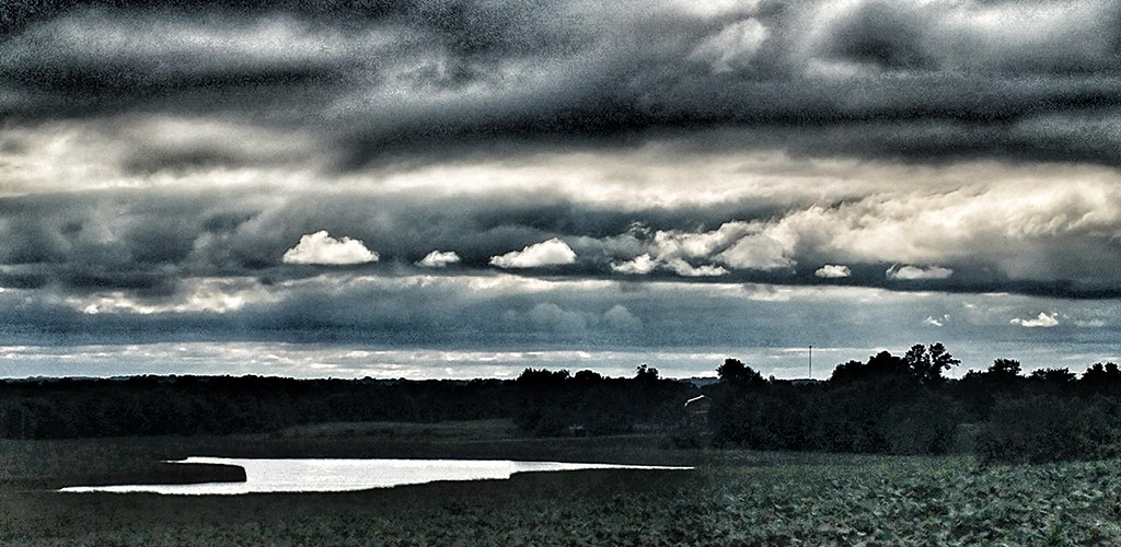
buffalo lake overcast, wright co mn

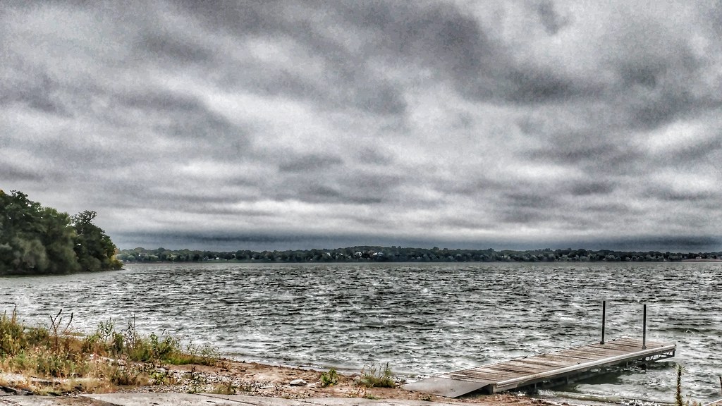
wright county, mn: reflections4
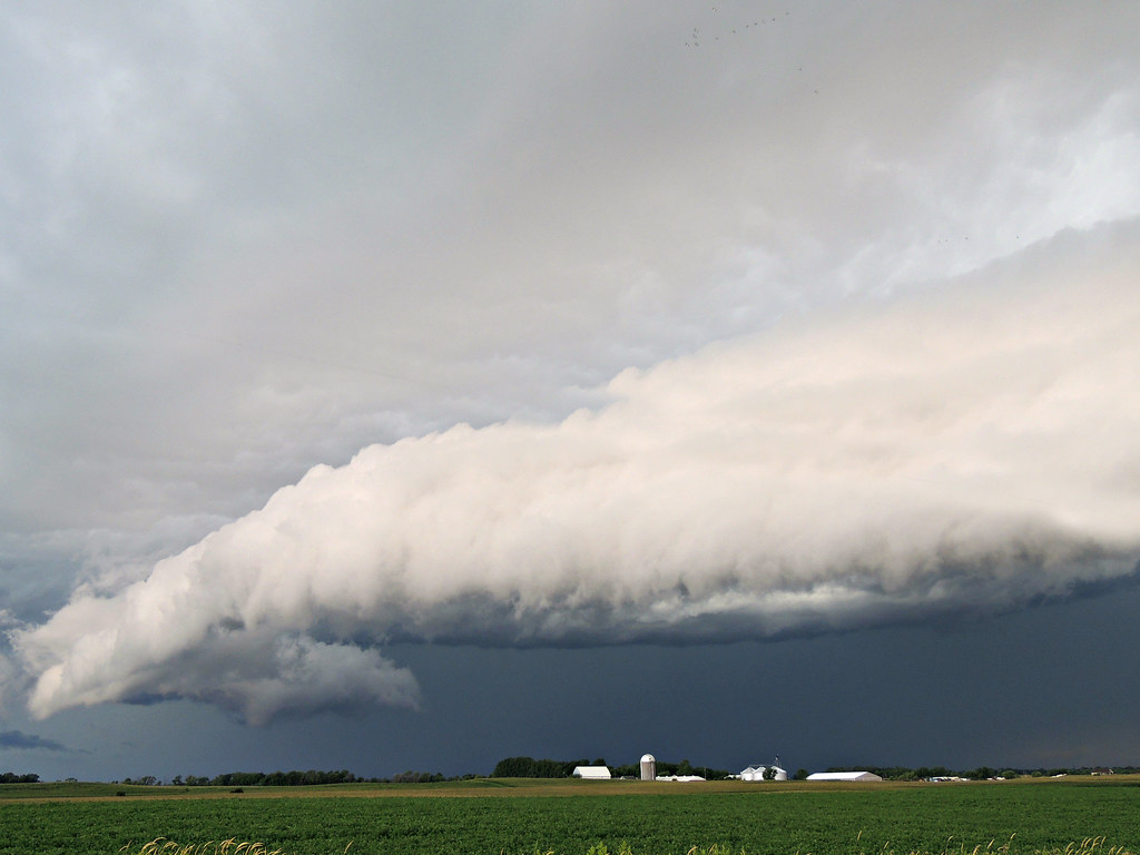
storm 8/6/13, wright co MN7
pasture adickes farm, buffalo mn6321

storm 8/6/13, wright co MN8

20180718_185618_HDR-01

lake buffalo serene sunset7, 6/18/13, wright co MN

lake buffalo serene sunset10, 6/18/13, wright co MN
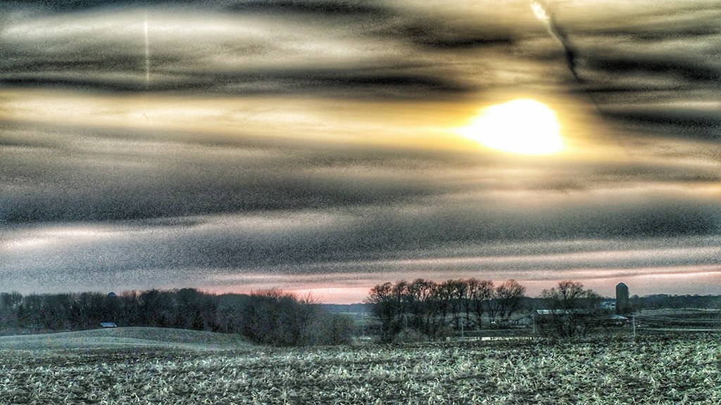
mothership cloud, buffalo MN21
October Pumpkins

Making Hay
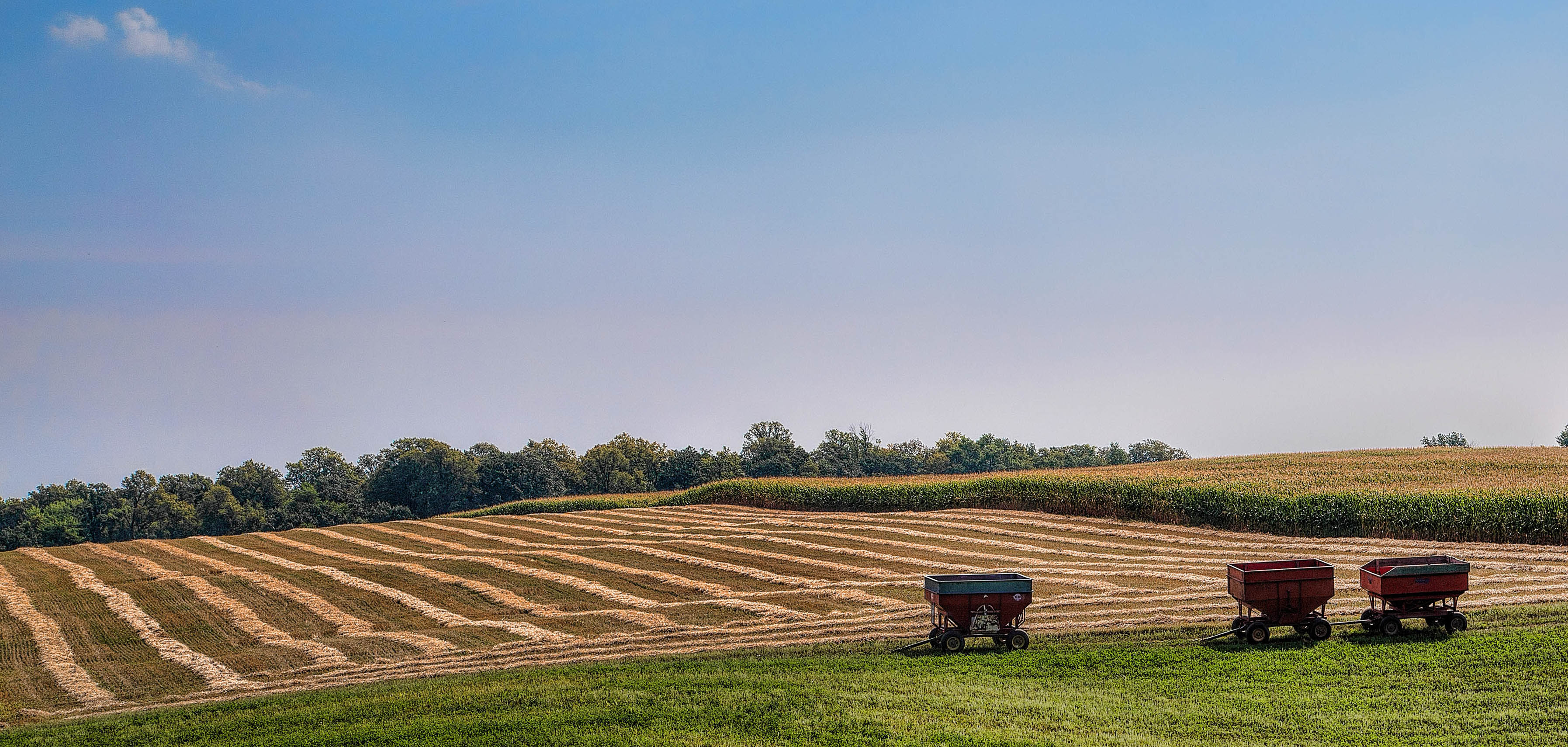
Making Hay
wright co mn3680
West of buffalo, mn8300
storm 8/6/13, wright co MN3
Topographic Map of Baker Ave NW, Buffalo, MN, USA
Find elevation by address:

Places near Baker Ave NW, Buffalo, MN, USA:
Maple Lake Township
1001 6th Ave Ne
Buffalo
Division St E, Buffalo, MN, USA
32 Oak Ave S, Maple Lake, MN, USA
Maple Lake
County Rd 35 W, Buffalo, MN, USA
Wright County
Broadway St E, Monticello, MN, USA
Monticello
204 Front St
th St NW, Clearwater, MN, USA
20th St SW, Howard Lake, MN, USA
Pelican Lake
Hancock St, Becker, MN, USA
Becker
511 Tanner Dr
29 Lake St S, Big Lake, MN, USA
Middleville Township
18480 180th St Nw
Recent Searches:
- Elevation of Corso Fratelli Cairoli, 35, Macerata MC, Italy
- Elevation of Tallevast Rd, Sarasota, FL, USA
- Elevation of 4th St E, Sonoma, CA, USA
- Elevation of Black Hollow Rd, Pennsdale, PA, USA
- Elevation of Oakland Ave, Williamsport, PA, USA
- Elevation of Pedrógão Grande, Portugal
- Elevation of Klee Dr, Martinsburg, WV, USA
- Elevation of Via Roma, Pieranica CR, Italy
- Elevation of Tavkvetili Mountain, Georgia
- Elevation of Hartfords Bluff Cir, Mt Pleasant, SC, USA